Ghost

Canada · Parks Canada

Central Rockies

Auf der Karte ansehen

Lawinengefahr

Hochgebirge
Keine Stufe
Waldgrenze
Keine Stufe
Unterhalb
Keine Stufe

Lagebericht ausgegeben last year · gültig bis Apr 7

Herausgegeben von Avalanche Canada

Aktueller Lagebericht

Veraltet — dieser Lagebericht ist last year abgelaufen. Du siehst vergangene Verhältnisse, nicht den aktuellen Bericht.

Kernpunkte

Warm temperatures, high freezing levels, and intense solar radiation are forecast for the next few days. In the morning when cooler and the snowpack is in a frozen state avalanches will be less likely, this will change throughout the day as temperatures warm up and stability decreases making avalanches more likely. Start early, minimize overhead terrain, and be done early.

Lawinenprobleme

  • Wind Slabs

    • Hochgebirge
    • Waldgrenze
    • Unterhalb der Waldgrenze
    Wahrscheinlichkeit
    Possible - Likely
    Größe
    1–2

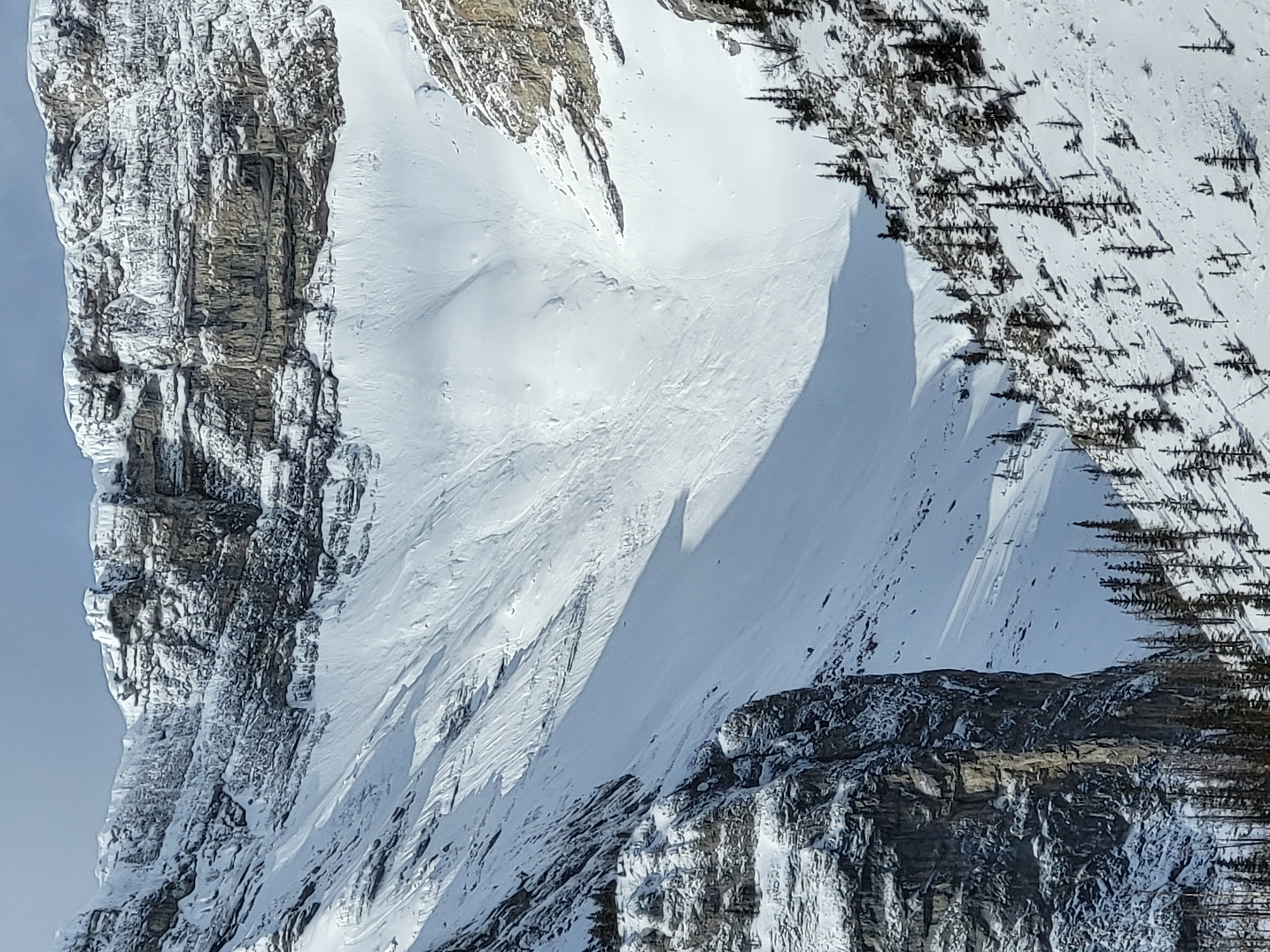
    Winds earlier in the week have consolidated the upper snowpack in some alpine areas. Pay attention to overhead terrain and solar radiation on overhead slopes.

  • Loose Wet

    • Hochgebirge
    • Waldgrenze
    • Unterhalb der Waldgrenze
    Wahrscheinlichkeit
    Likely - Very Likely
    Größe
    1–1.5

    Wet loose avalanches will develop quickly where recent storm snow is overlying thin rocky terrain.

Avalanche Summary

No new or recent observations. No reported events into the Kananaskis Region office.

Confidence

Moderate

Snowpack Summary

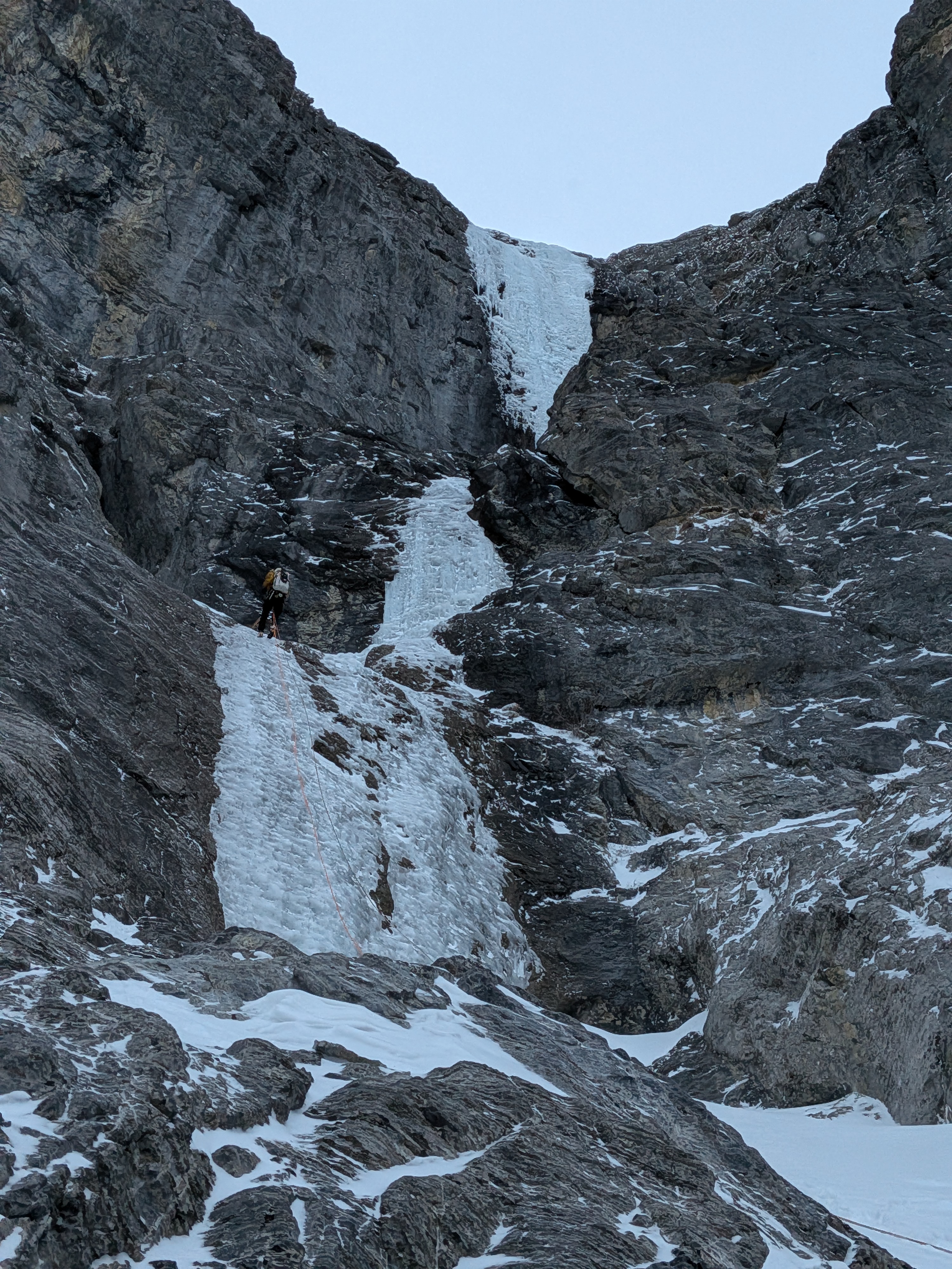
A thick crust can be found in the upper snowpack that developed in late march. Recent snow over the past week has buried this crust down 30-60cm. Storm slabs and windslabs can be found in the upper snowpack that will be reactive to traffic from ice climbers. Cornices over popular routes such as the Sorcerer have also been reported as large. Clear skies and strong solar influence will allow stability to deteriorate throughout the day so pay attention to overhead terrain in the sun.

Even a small avalanche can have large consequences in steep or gullied terrain so use be thinking about that as you travel. Routes that commonly don't have avalanche hazard will be affected by this incoming storm.

Weather Summary

-7 forecast overnight with generally light winds . The freezing level will climb to 2500m and skies are forecast to be clear so pay attention to the strong solar radiation decreasing stability later in the day especially on solar aspects.

More details can be found in the Mountain Weather Forecast.

Terrain and Travel Advice

  • Ice climbers should be equipped with avalanche safety gear.
  • Be aware of the potential for loose avalanches in steep terrain where snow hasn't formed a slab.
  • Be alert to conditions that change with elevation and sun exposure.

Verlauf der Lageberichte

HochWGUnter