Continental
United States · Valdez Avalanche Center · Teil von Valdez Avalanche Center
Lagebericht ausgegeben 4 months ago · gültig bis Jun 1
Aktueller Lagebericht
Kernpunkte
Even though regular avalanche forecasts have concluded for the season, avalanche hazard remains present within our forecast area. Always carry a beacon, shovel, and probe when traveling in avalanche terrain, and watch for signs of instability including recent avalanche activity and rapidly warming snow surfaces.
Avalanche Discussion
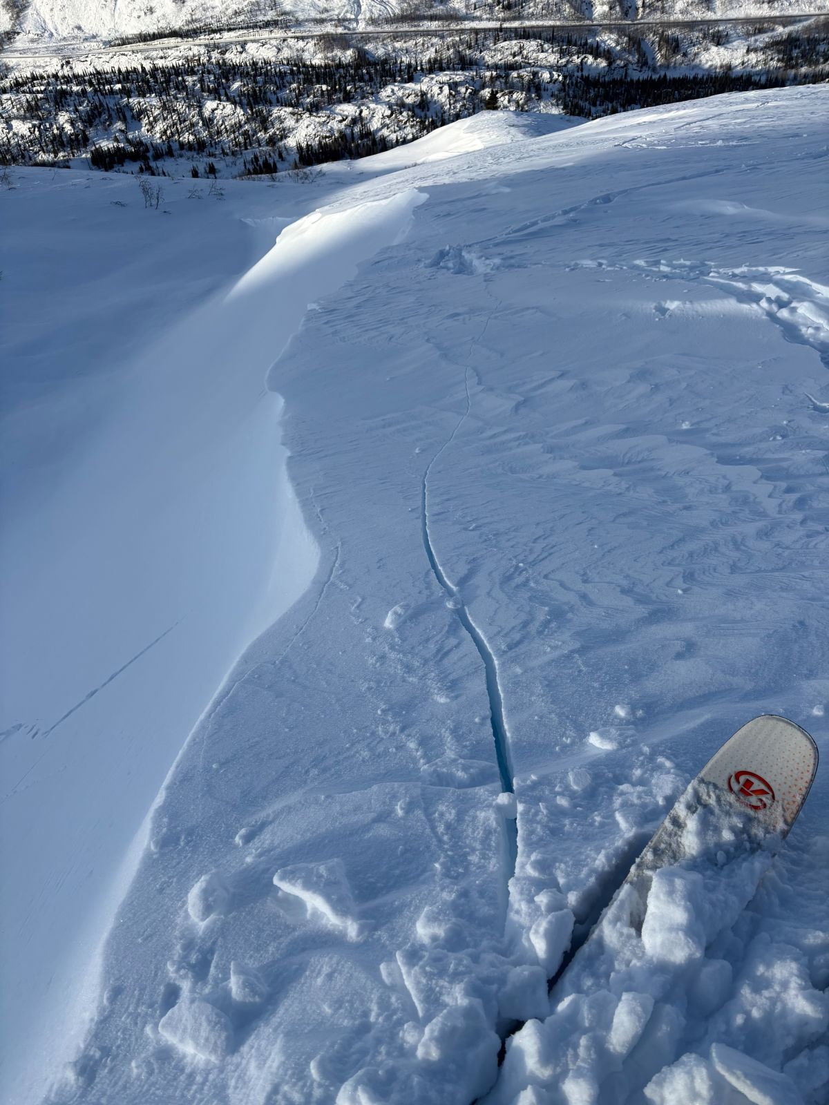
An unusual season is finishing with an unusual weather pattern for this time of year. As of 5/11, Valdez has received 11.07" of water since 4/16. The snowpack above 4000' is still peaking, and the Nicks weather station is showing nearly a doubling of snowpack height over the last month. This wet weather has caused a significant increase in natural avalanche activity, including wet loose, wet slab, and storm slab avalanches.
Expect the snowpack to remain sensitive while stormy weather continues and during breaks in the weather when the sun comes out. Wet loose and wet slab avalanches are the primary concern below 4000', while storm slab problems continue to exist above 4000' on shaded aspects as of the time of writing. Weak snow near the ground is becoming saturated with meltwater at low elevations and is being loaded by new snow at upper elevations. Full-depth avalanches are possible, both naturally and from human triggers, in steep terrain.
Once we receive a pattern change and begin to see the sun for more than a couple hours at a time, the snowpack will begin transitioning to a summer snowpack at upper elevations while continuing to melt away at lower elevations. If we see a couple of clear nights in a row, the lower and mid elevations will gain strength and move toward a more typical spring diurnal hazard cycle, where avalanche hazard changes throughout the day. This transition takes longer at upper elevations.
Once that transition occurs, hazard will typically start as low in the morning and then rise as the sun heats different aspects through the day. East aspects warm first, followed by south, west, and finally north. The aspect receiving the most direct sun at a given time will usually hold the greatest hazard. How much hazard increases from day to day depends on factors such as the strength of the overnight freeze, cloud cover, and high temperature relative to previous days. On clear, hot days with only a weak overnight refreeze, hazard can go from low to high during the day
Avoid steep terrain where more than 6" of wet snow is present, and keep in mind that rocky terrain heats up faster as rocks absorb the sun’s energy and transfer that heat into the surrounding snow.