
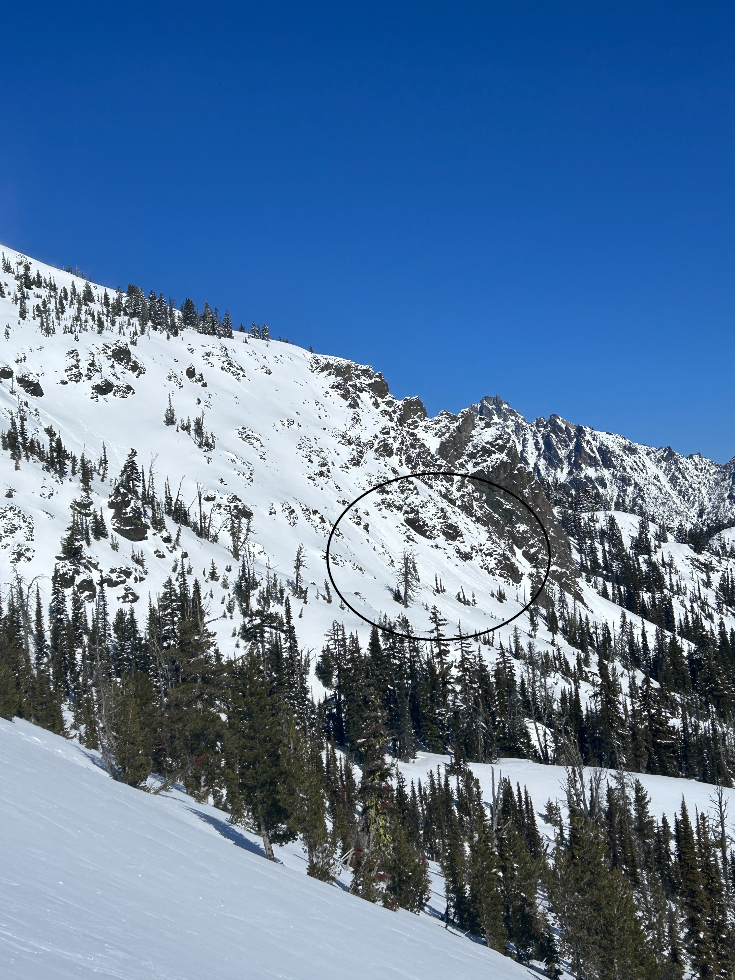
Quick report
- Cracking
- specific
I went out in search of evidence of the ongoing persistent slab problem, as well as the wind slab problem that is somewhat wrapped up in the former. I found plenty of evidence of both, but with some unsatisfaction. The PWLs are still very present in this area as was expected, however I did not get propagation in any snowpit tests nor experience and cracking/collapsing. As for the wind slab problem, despite the impressive amount of wind loading that had happened and was still ongoing, was stubborn as well. I am still very suspicious of the buried PWLs, especially with a significant warming trend on the radar. The snowpits I dug also confirmed that the structure is actually weaker on S-W aspects vs N-E and I think this is due to stronger temperature swings.
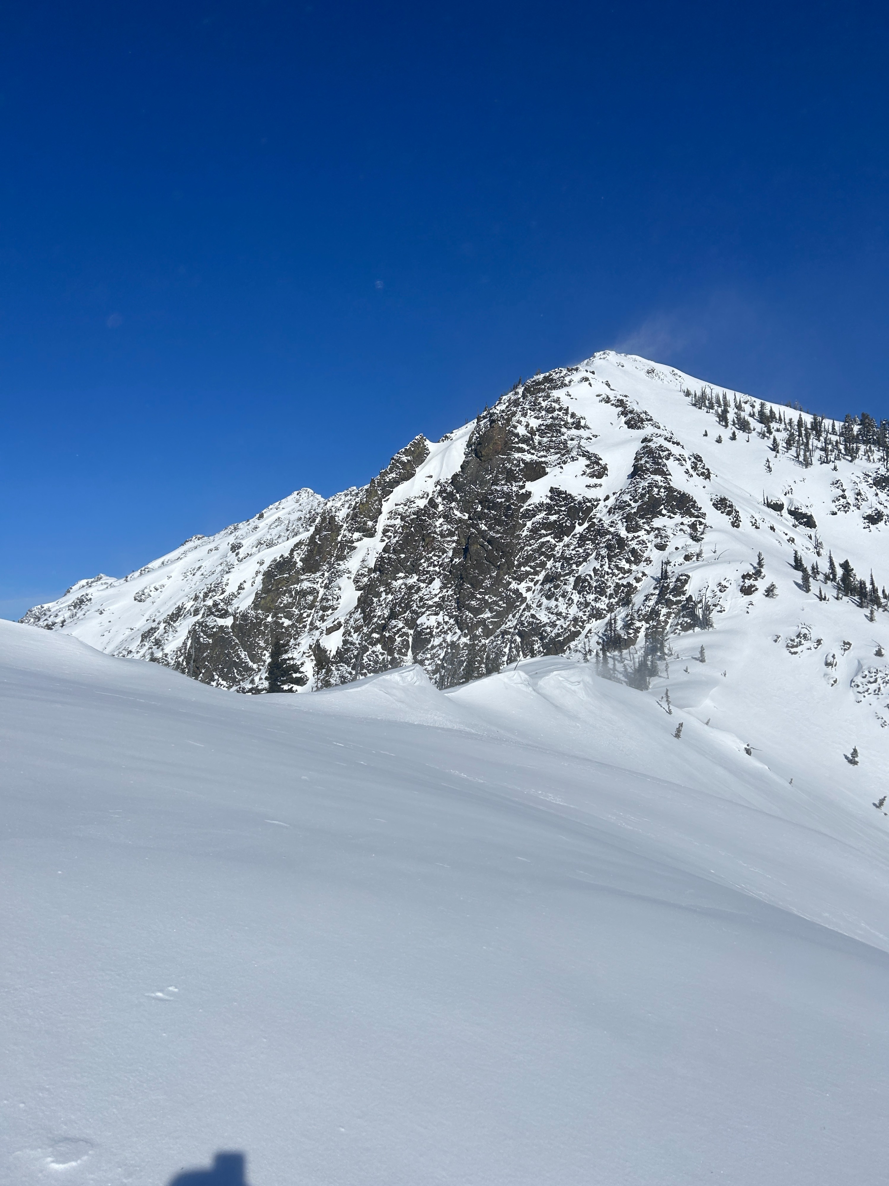
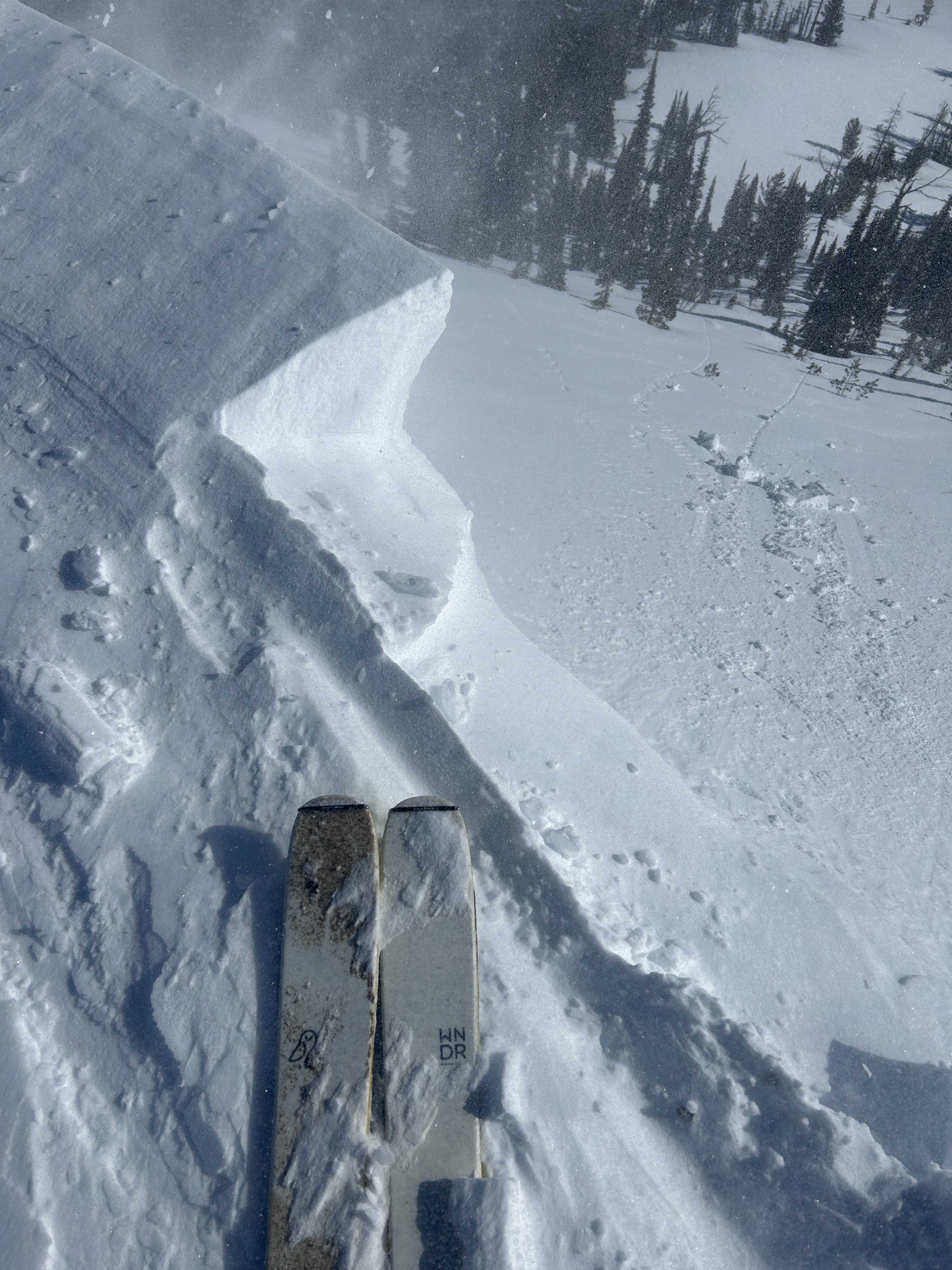
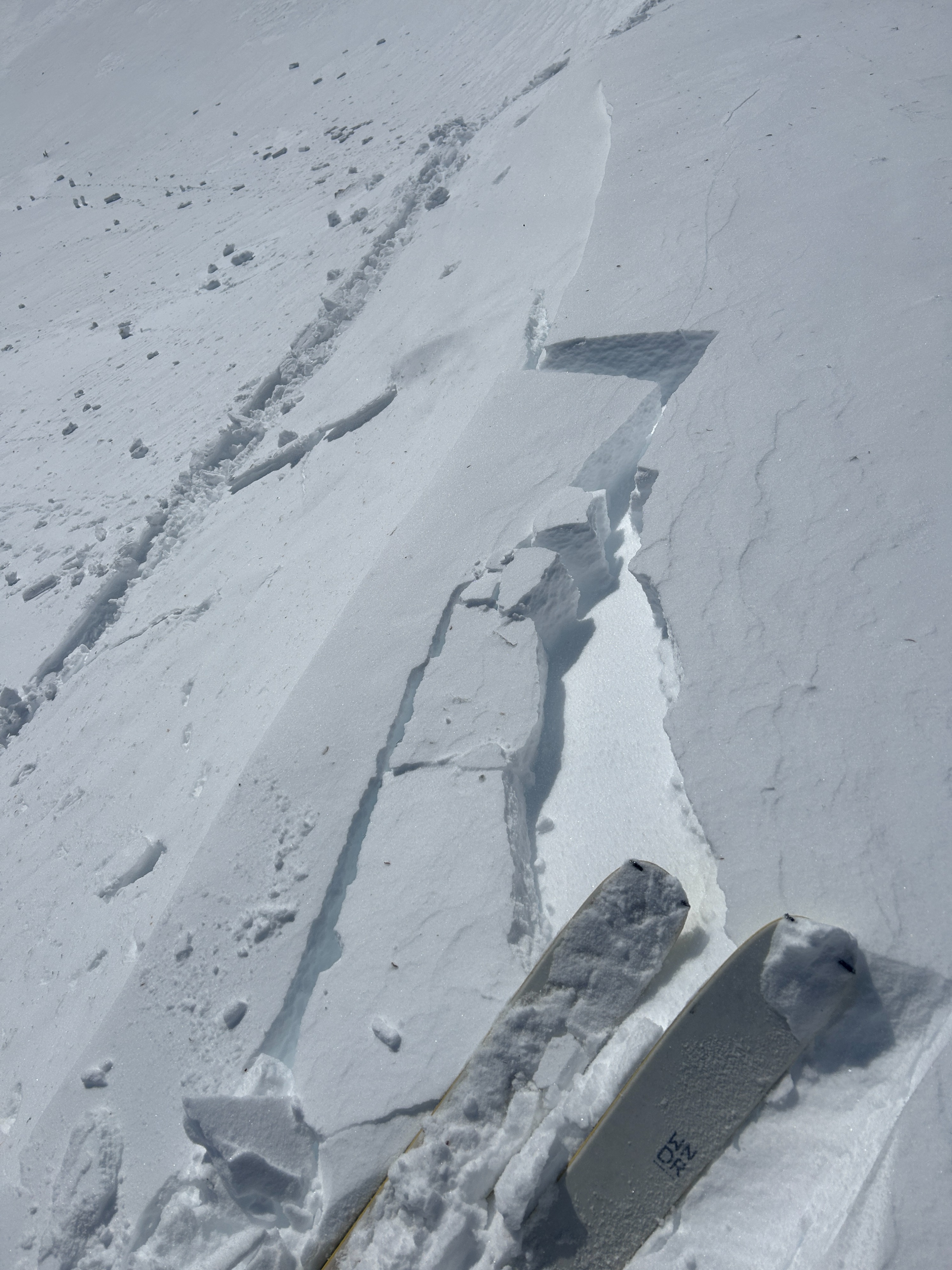
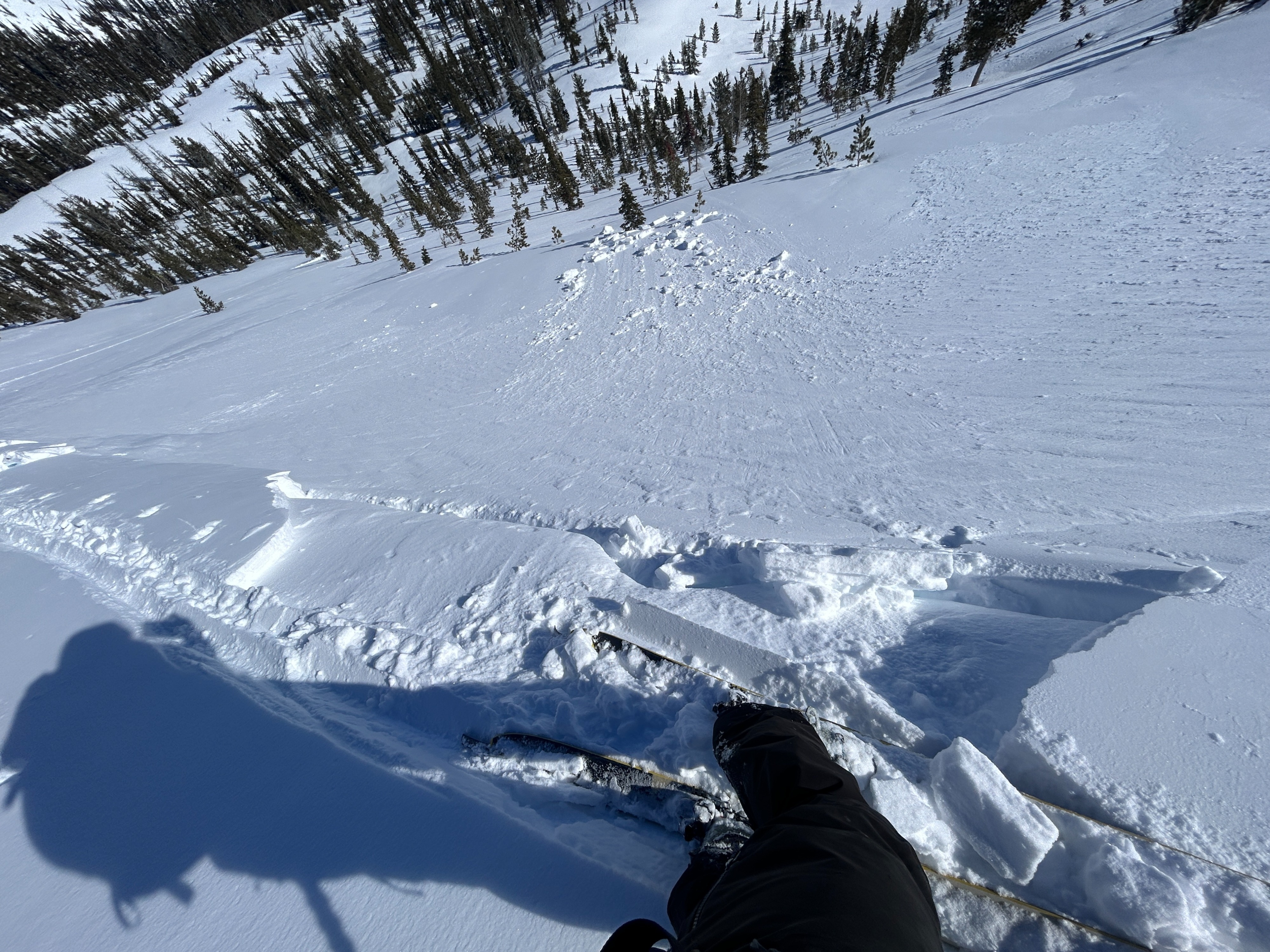
I was able to get a few longer shooting cracks in some unsupported wind loaded features. If they were more supported, cracking was very stubborn. I also observed new roller balls releasing from steep, rocky cliffbands on SE-S faces at upper elevations.Weather
- Cloud Cover
- few
- Wind Loading
- intense
- Recent Snowfall
- 0
- Snow Avail For Transport
- moderate amounts
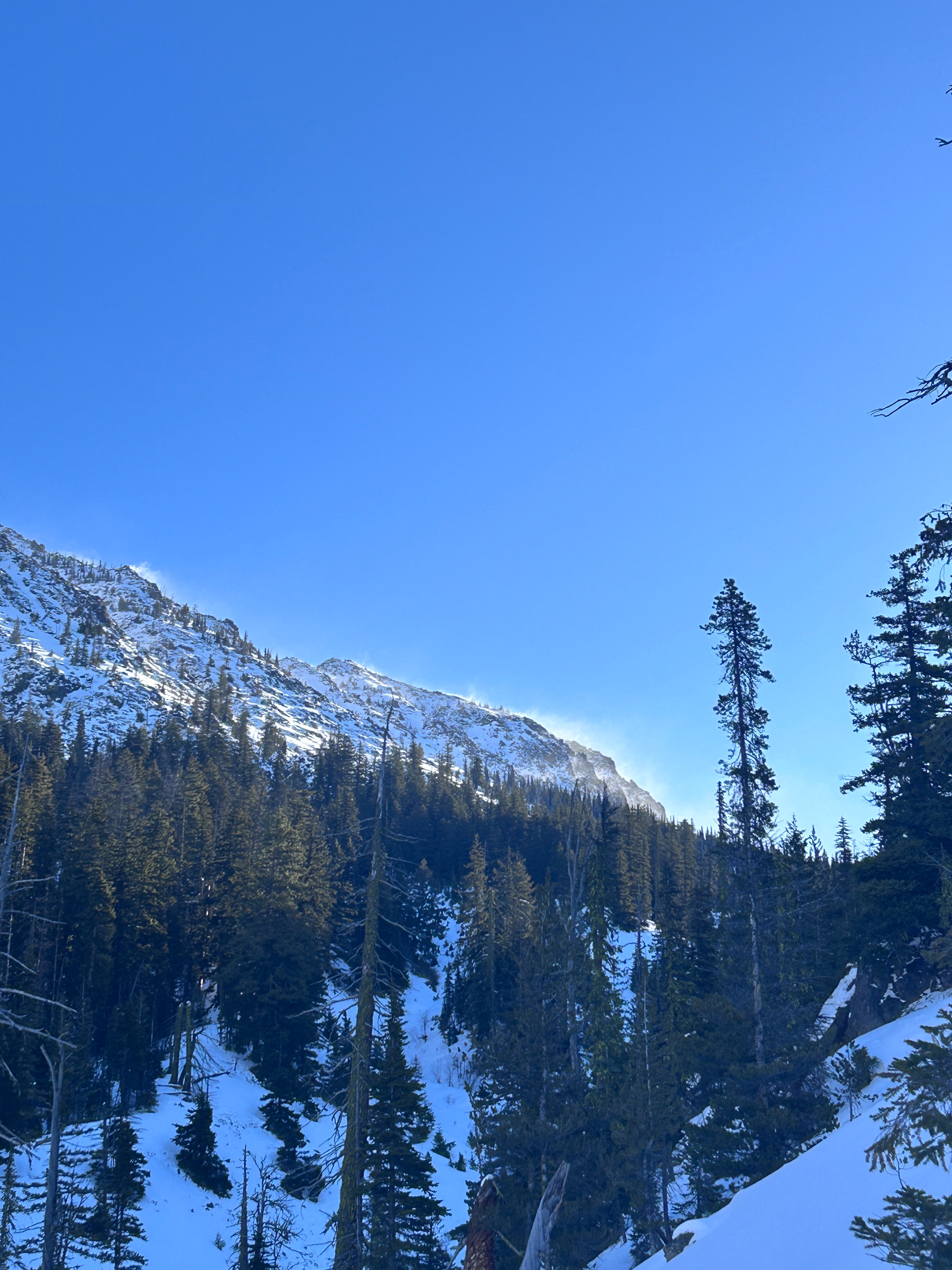
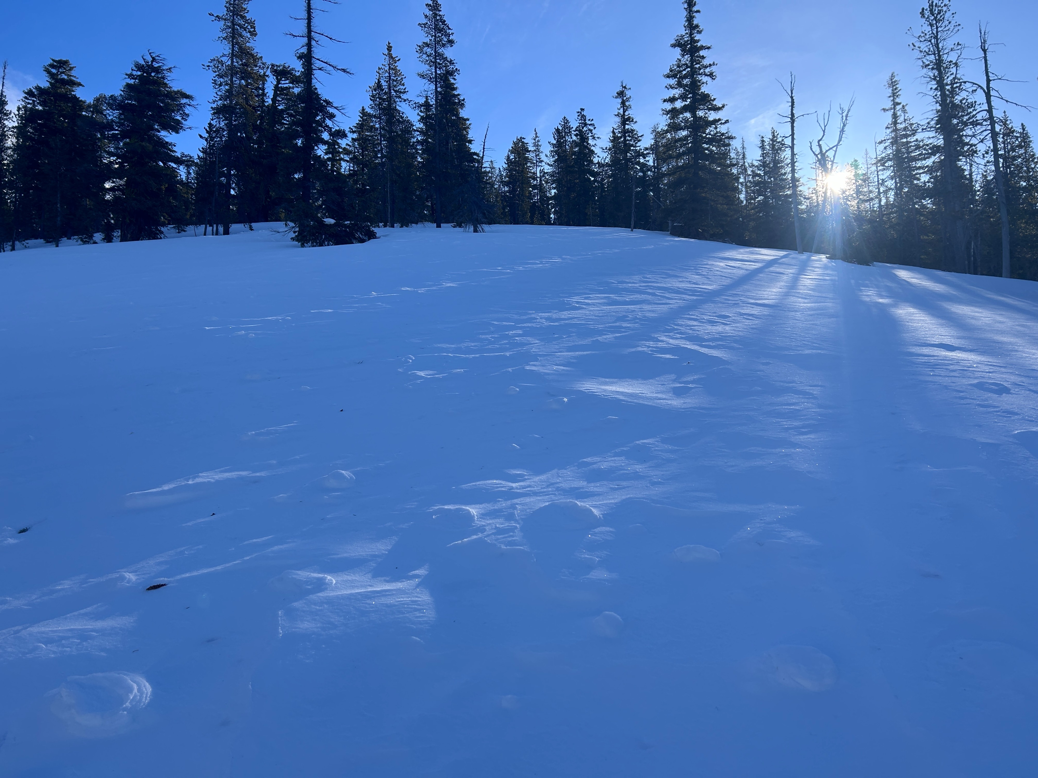
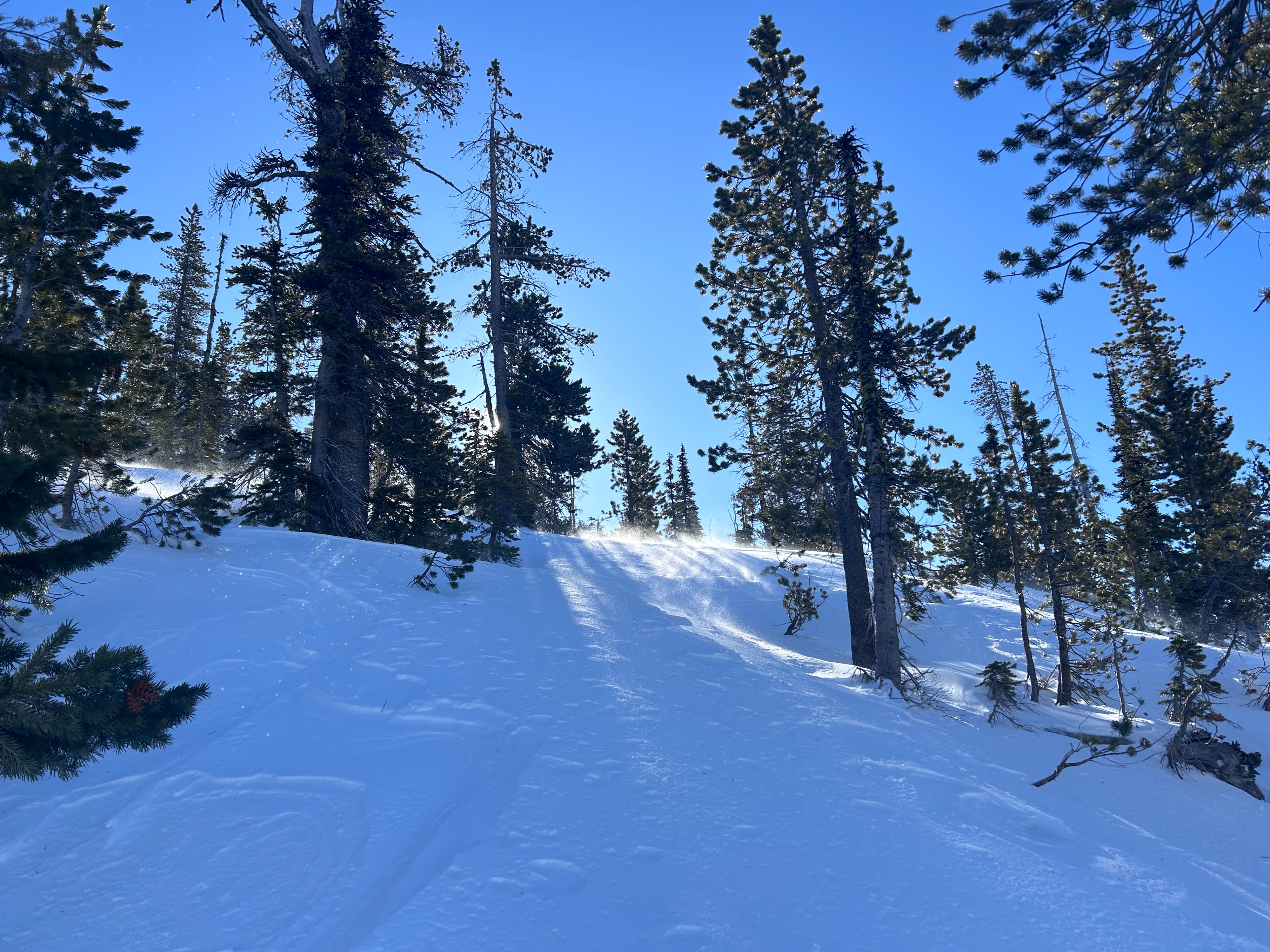
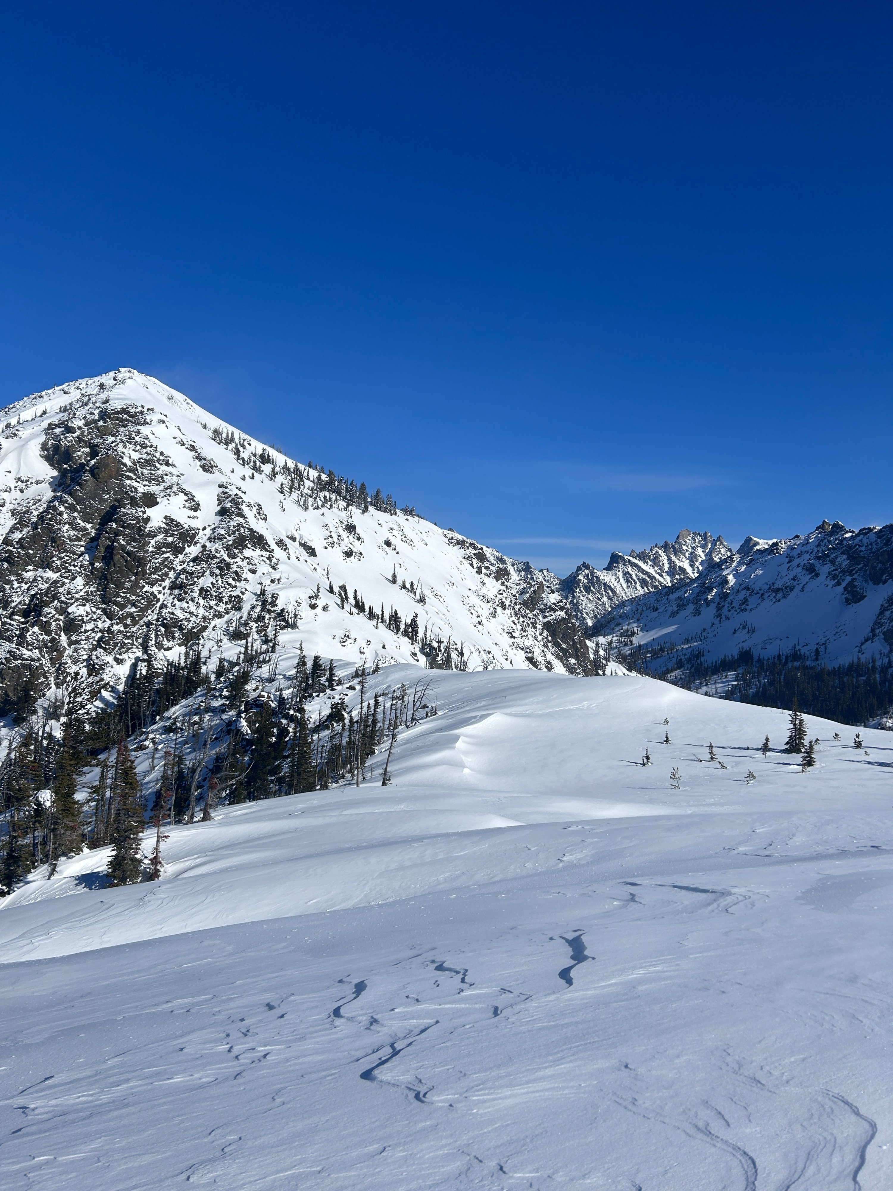
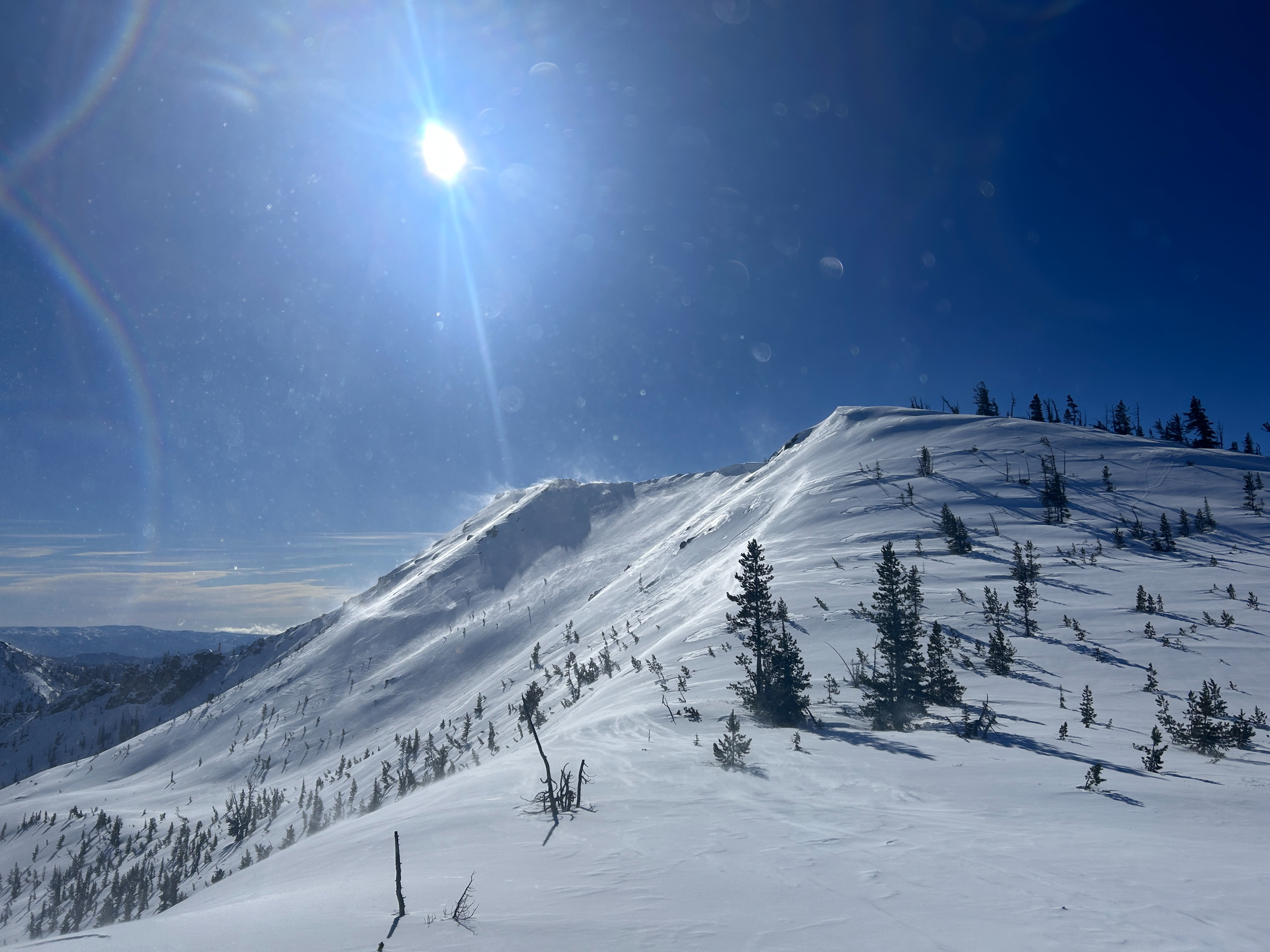
Temps were cool in the morning, but quickly rose throughout the day. Few passing clouds dotted the sky. Along the road, the wind was calm but as soon as you began ascending, it quickly increased. At the saddle, it was moderate-strong. I observed extensive wind loading, primarily from the west.
Snowpack
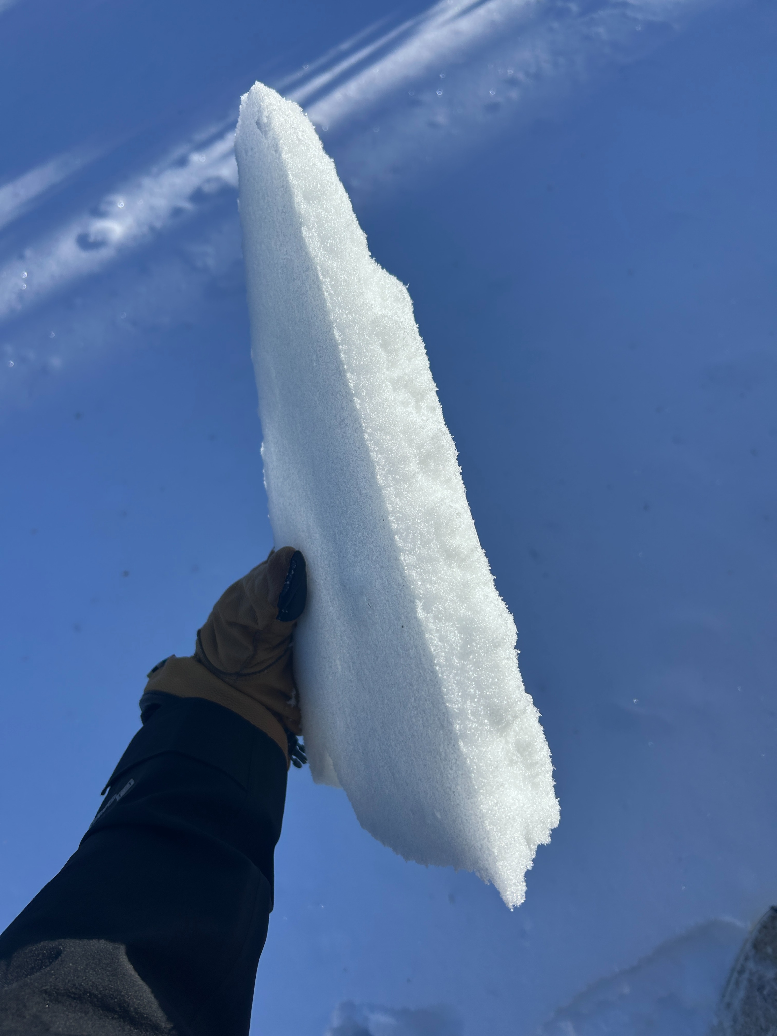
Lower Elevations: there's really not a lot going on down here. Coverage still struggles to hide downed trees and rocks. I found a breakable crust on the surface formed either from wind or from a melt freeze cycle. This crust was a few cm thick. Underneath was dry snow. By the afternoon, some spots in the sun had softened, but as soon as you hit a shaded patch, it'd be crusty again.
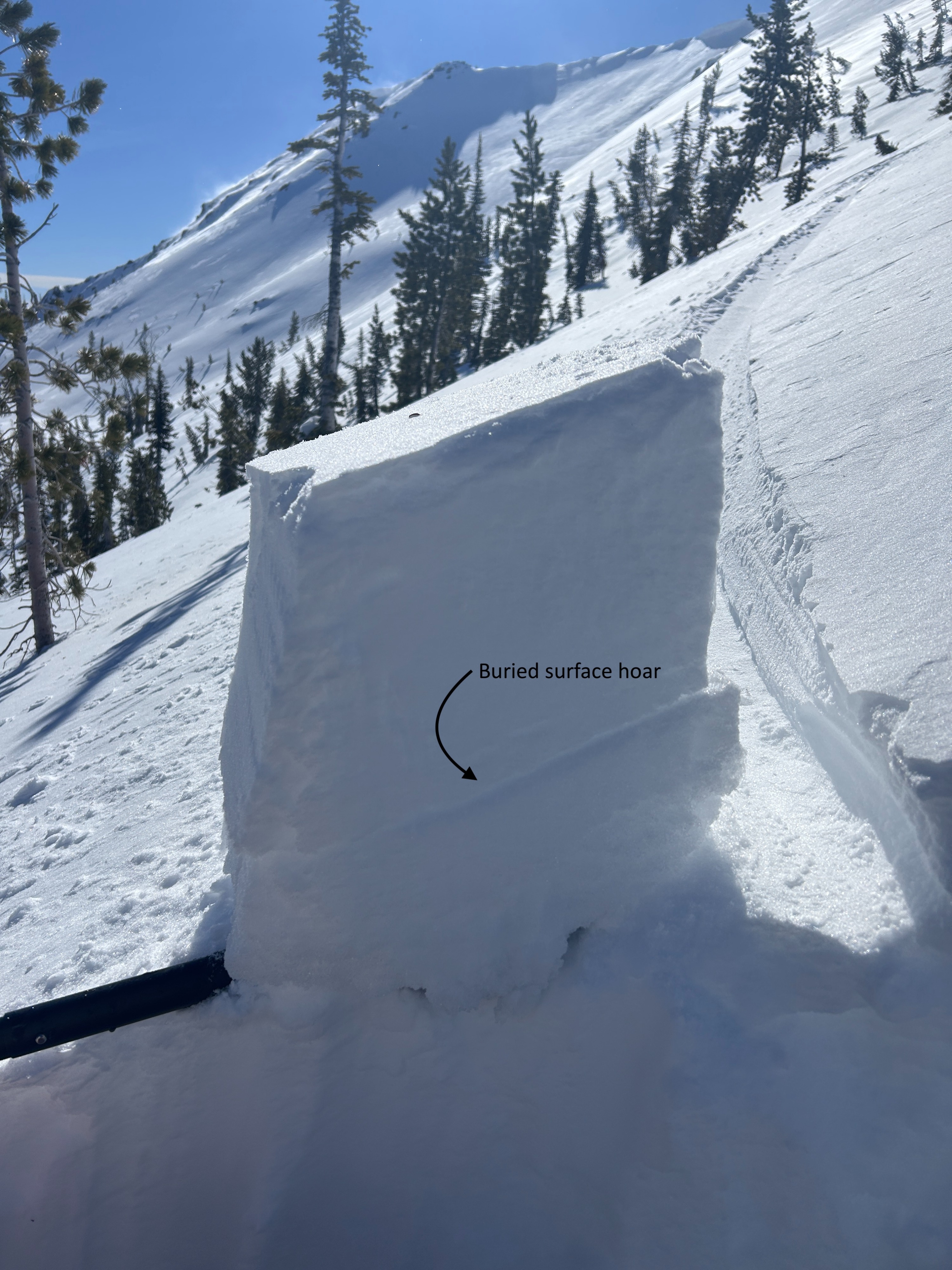
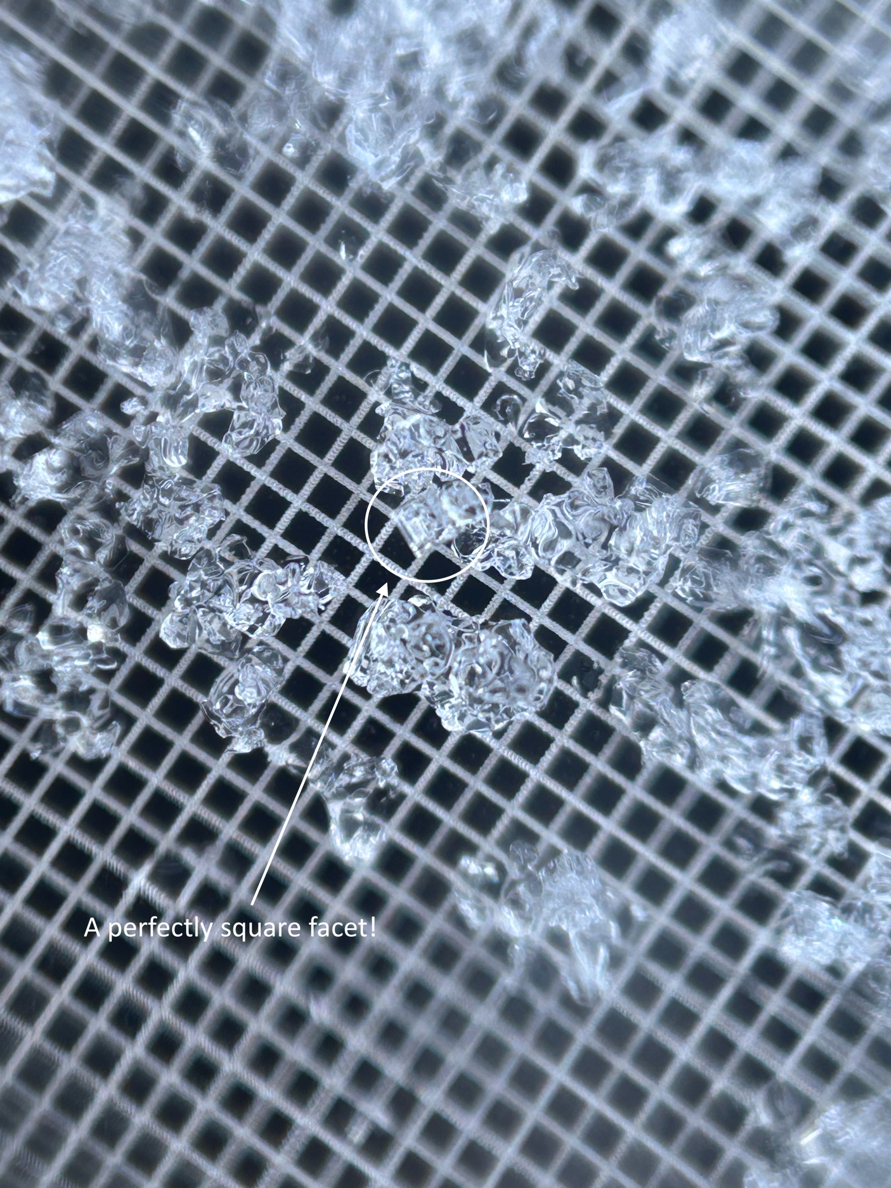
Middle Elevations: I dug a pit on a NW aspect at 5775 ft. The snowpack depth at this location was 121cm (47in), and I dug down to 25cm above the ground. I found a 25cm (10in) thick slab overlaying the weak layers we have been tracking. This includes buried surface hoar (2/13) that was rounding in this pit, and facets around the 2/7 crust. The facets below the crust were more well developed than what I have observed in the nearby Salmon La Sac area. The crust itself, although rotting and faceting, it still boot supportable. Snowpit tests yielded moderate and hard results in the layer of buried surface hoar, and at the interface between the near surface facets above the crust, and the crust (CT12SC, ECTN13 on the BSH / CT14SP, ECTN29 on the crust).
Upper Elevations: I dug a pit on an E aspect at 6143 ft. The snowpack depth at this location was 200cm (79in), and I dug down to 75cm above the ground. Here I found a 30cm (12in) thick slab overlaying weak layers. It should be noted that this area was being wind loaded. The buried surface hoar was rounding in this location as well, but still very discernible. The facets around the 2/7 were less well developed, and this tracks with what I have observed in other pits dug in the Salmon La Sac. The crust was less supportable here. Compression and extended column tests yielded results in the layer of buried surface hoar and within the facets below the crust (ECTN22 on the BSH / CT11BRK within the facets). I performed 4 propagation saw tests:
BSH layer: PST24/100Arr, PST33/100Arr
Crust/Near surface facets above: PST39/100SF (note: it fractured up and broke a little ways through the BSH layer)
Facets below crust: PST45/100Arr