
Quick report
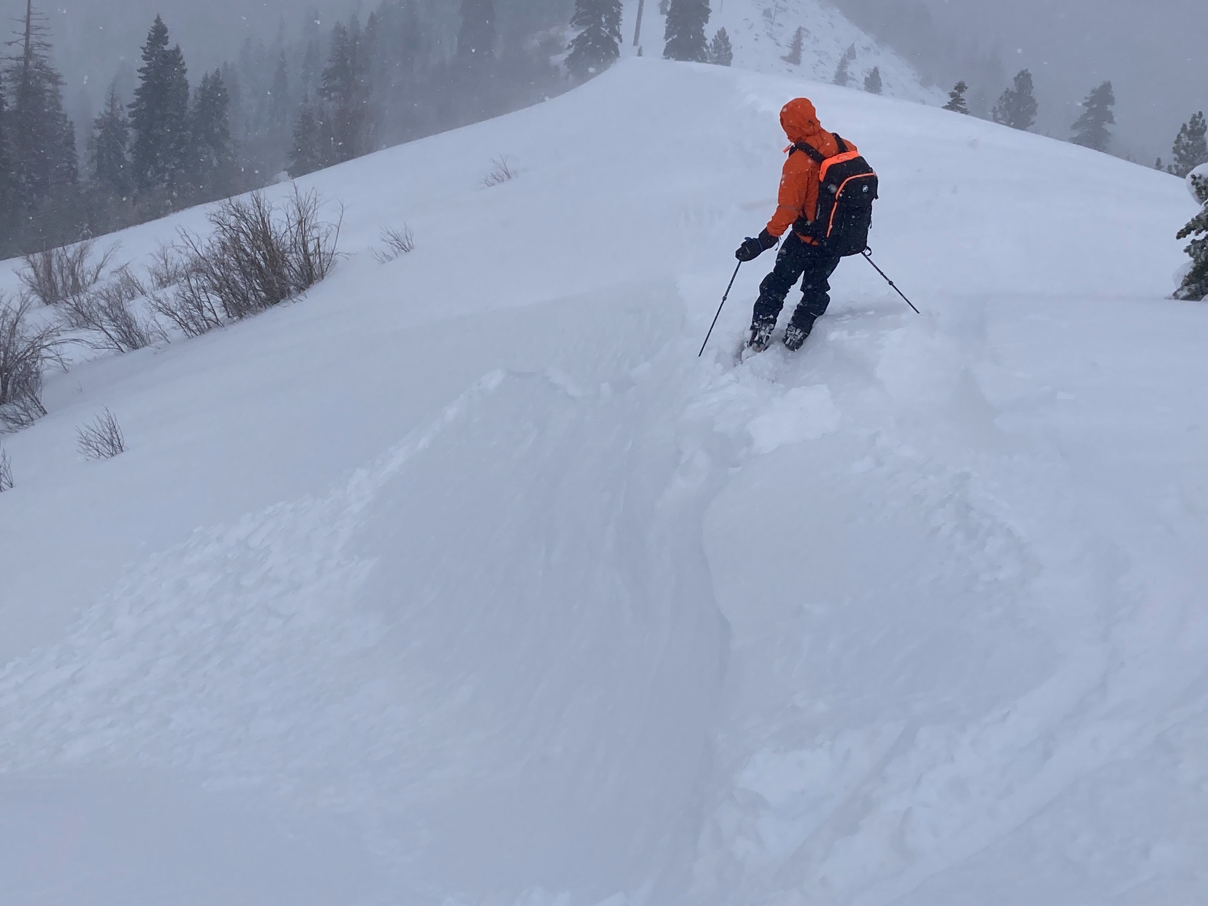
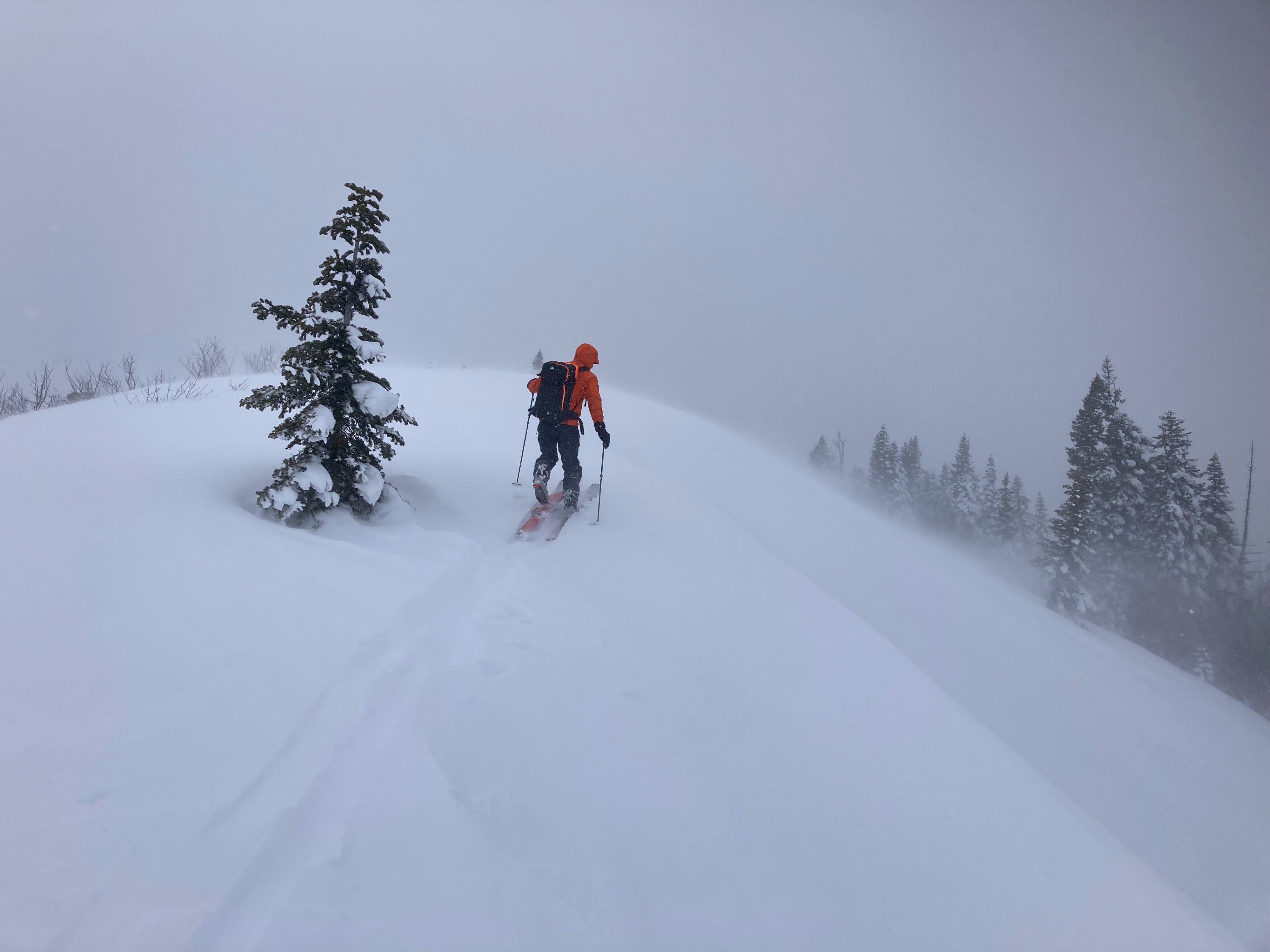
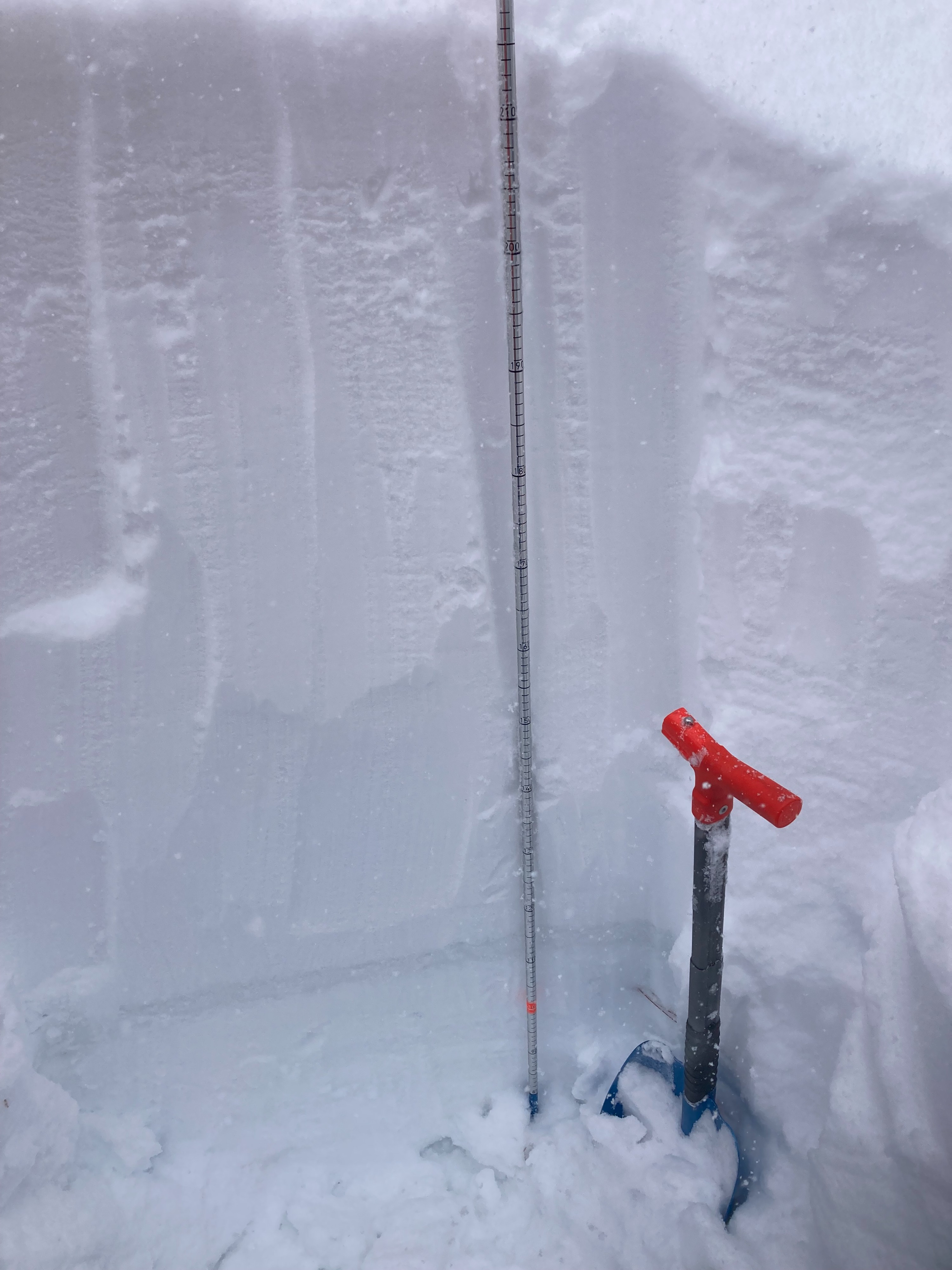
We made observations on Shallenberger Ridge today. We had easy access to the ridge and were able to get into some near treeline terrain to look at current wind transport. We dug a couple snowpits at 6650' to look at the new storm snow and how it was bonding to the old snow interface. 100cm of storm snow exists in this area. The old snow surface consists of wet snow at this elevation from the rain during the beginning of the storm cycle. Storm snow concerns of buried surface hoar or a graupel layer were not found or had been destroyed by the rain. The storm snow was mostly right side up with no unstable snowpack test results. SW winds were gale force with some breaks throughout our tour. Wind transport was up to intense along the ridge near 7000'. We had multiple small soft wind slabs fail on test slopes.
Weather
- Cloud Cover
- overcast
- Wind Loading
- intense
- Recent Snowfall
- 50
- Snow Avail For Transport
- large amounts
Periods of heavy snow throughout the day with some breaks. Gale force SW winds transporting snow.