
Quick report
- Cracking
- specific
- Collapsing
- specific
We noted several large collapses throughout our travels, mostly on North and East ridgelines. Poor snowpack structure was observed with alarming snowpack test results (ECTP7 on a ENE aspect at 7500').
Weather
- Air Temp
- -6 - 27
- Cloud Cover
- overcast
- Wind Loading
- previous
- Recent Snowfall
- Trc
- Snow Avail For Transport
- small smounts
A very noticeable temperature inversion was present in the area. When we left the parking lot, it was -6 degrees F, and by the time we were at the top of Bairds at 11:30, it was surprising how warm it felt. My thermometer measured the temperature at 27 degrees! By the time we were at 7500' on Shelter ridge, it was 18 degrees.
Snowpack
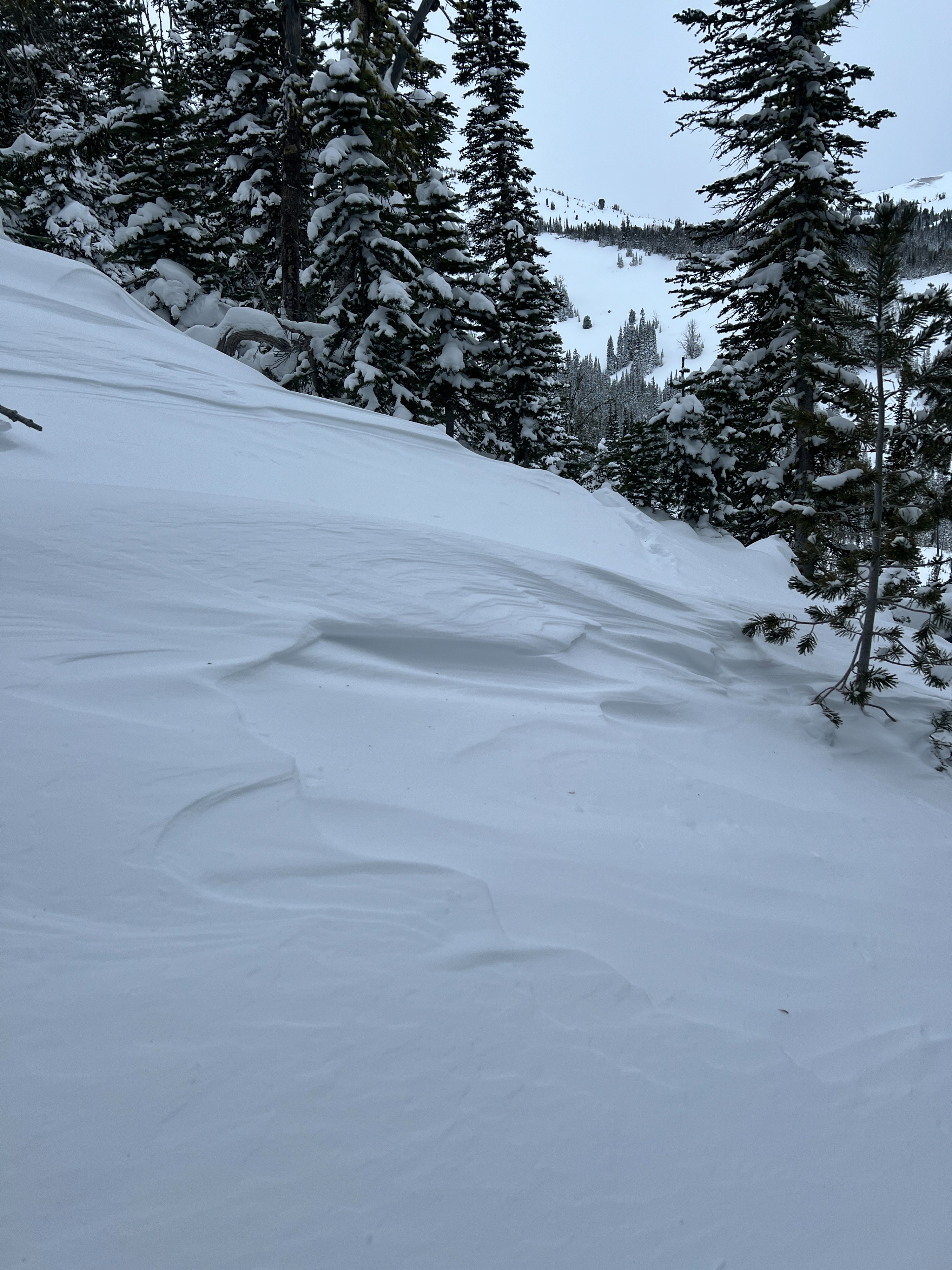
ENE, 7500'. 50 cm/20" of storm snow sat above old faceted snow. The total height of snow (HS) was 85 cm/33". I performed an Extended Column Test and the result was ECTP7 50 cm down, failing on well developed facets. In exposed upper elevation areas, wind slabs were evident and cornices had developed on ridgelines.
Avalanche
- Size
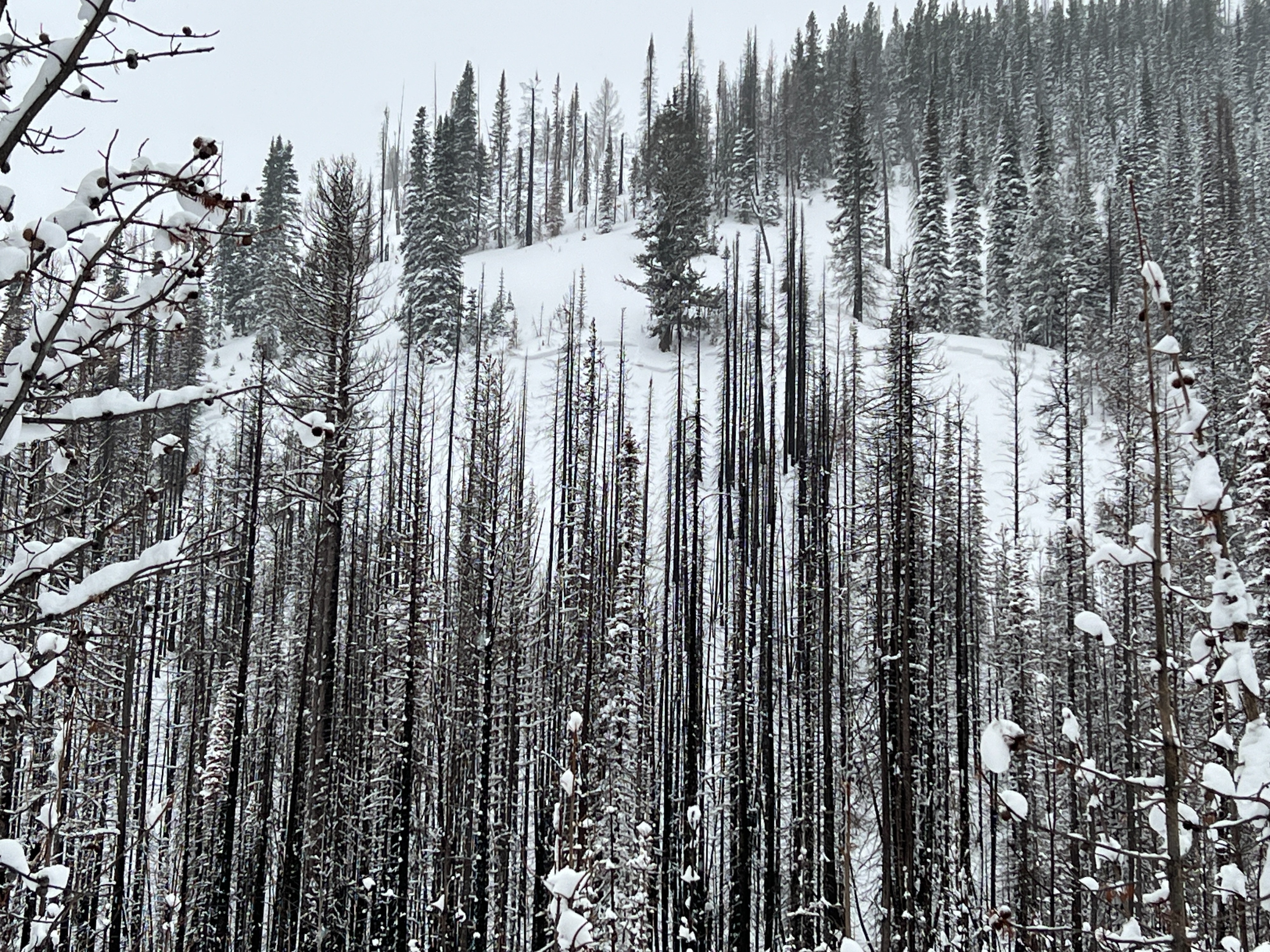
- D2 R3
- Type
- SS
- Aspect
- N
- Trigger
- N
- Elevation
- 7000 ft
We chatted with Towner and Alonso from WAH who were guiding in the area. They had been on the ridgeline to look into Big Sheep Creek Drainage and noted several other natural avalanches in that area. They thought they likely ran either late in the day (1/12 or early morning hours of 1/13).