
Quick report
- Cracking
- specific
- Collapsing
- specific
Westerly facing slopes were still reactive with collapsing and shooting cracks. Even one remotely triggered avalanche. Southerly facing slopes were quiet.
Weather
- Cloud Cover
- clear
- Wind Loading
- previous
- Recent Snowfall
- Trace
- Snow Avail For Transport
- large amounts
Snowpack
Targeted a SE facing slope to compare the snowpack to similar terrain. See profile. The snowpack here was fairly strong, and unfortunately, there wasn't a safer location to dig at a higher elevation. As I gained elevation above 11,400ft the upper snowpack became more suportable and it became harder to find obvious signs of instability as that ski pen decreased. The most reactive snowpack I encountered was between 10,000ft and 11,000ft on westerly facing terrain, with shooting cracks, collapses, and a remotely triggered avalanche. Still, not every slope showed obvious signs of instability on these westerly facing aspects, and obvious signs of instability continue to decrease overall.
Avalanche
- Size
- D2
- Type
- SS
- Count
- 7
- Aspect
- S
- Trigger
- N
- Elevation
- 11700 ft
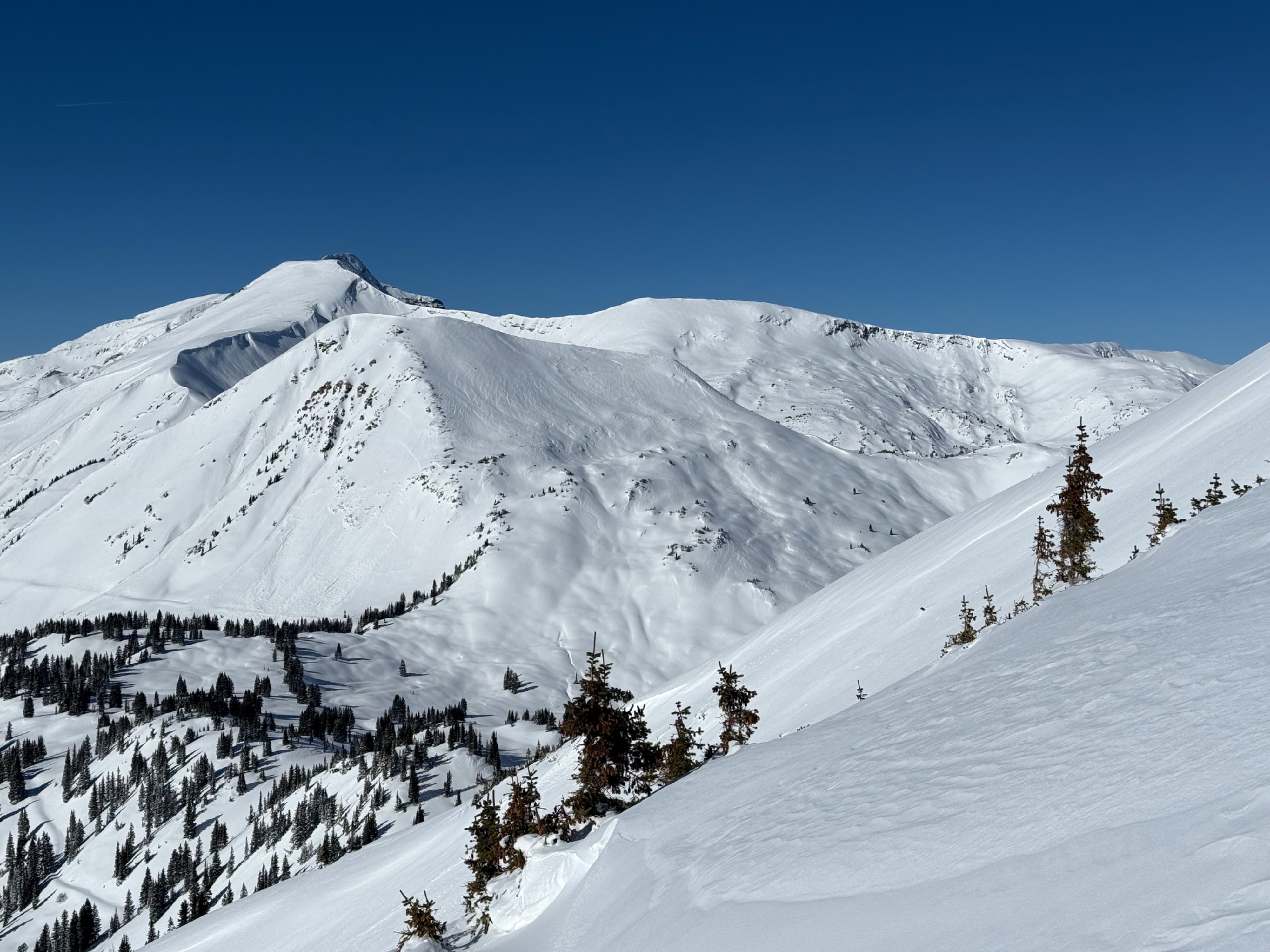
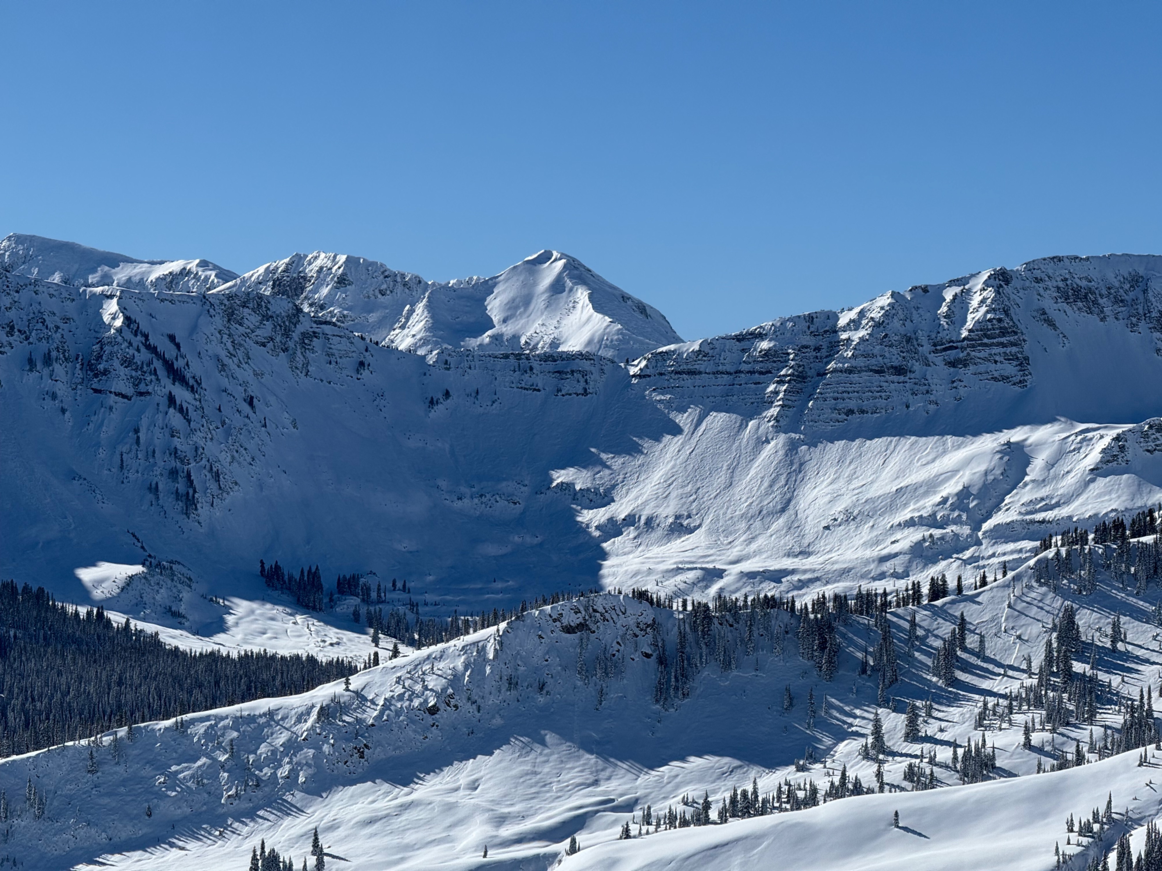
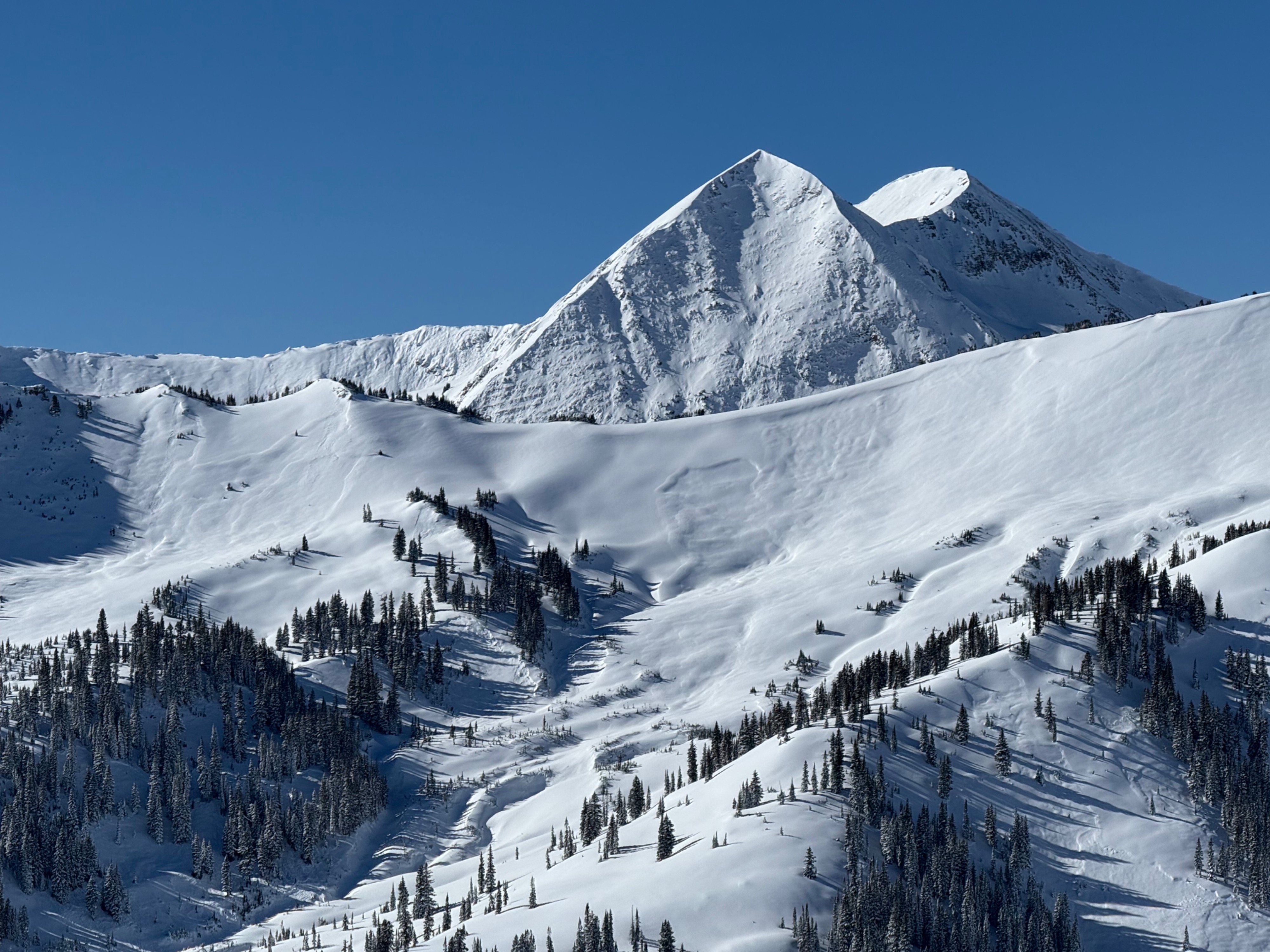
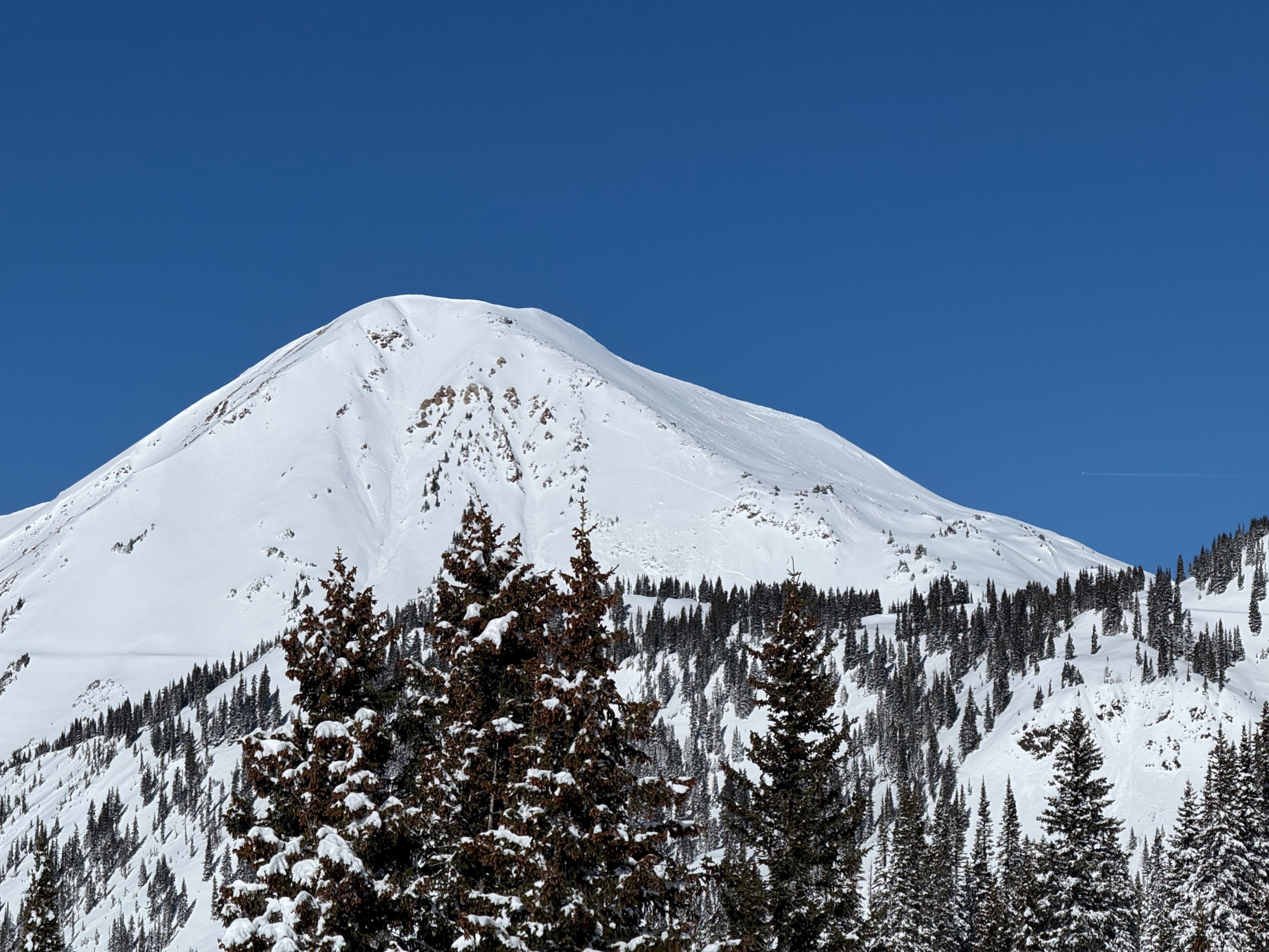
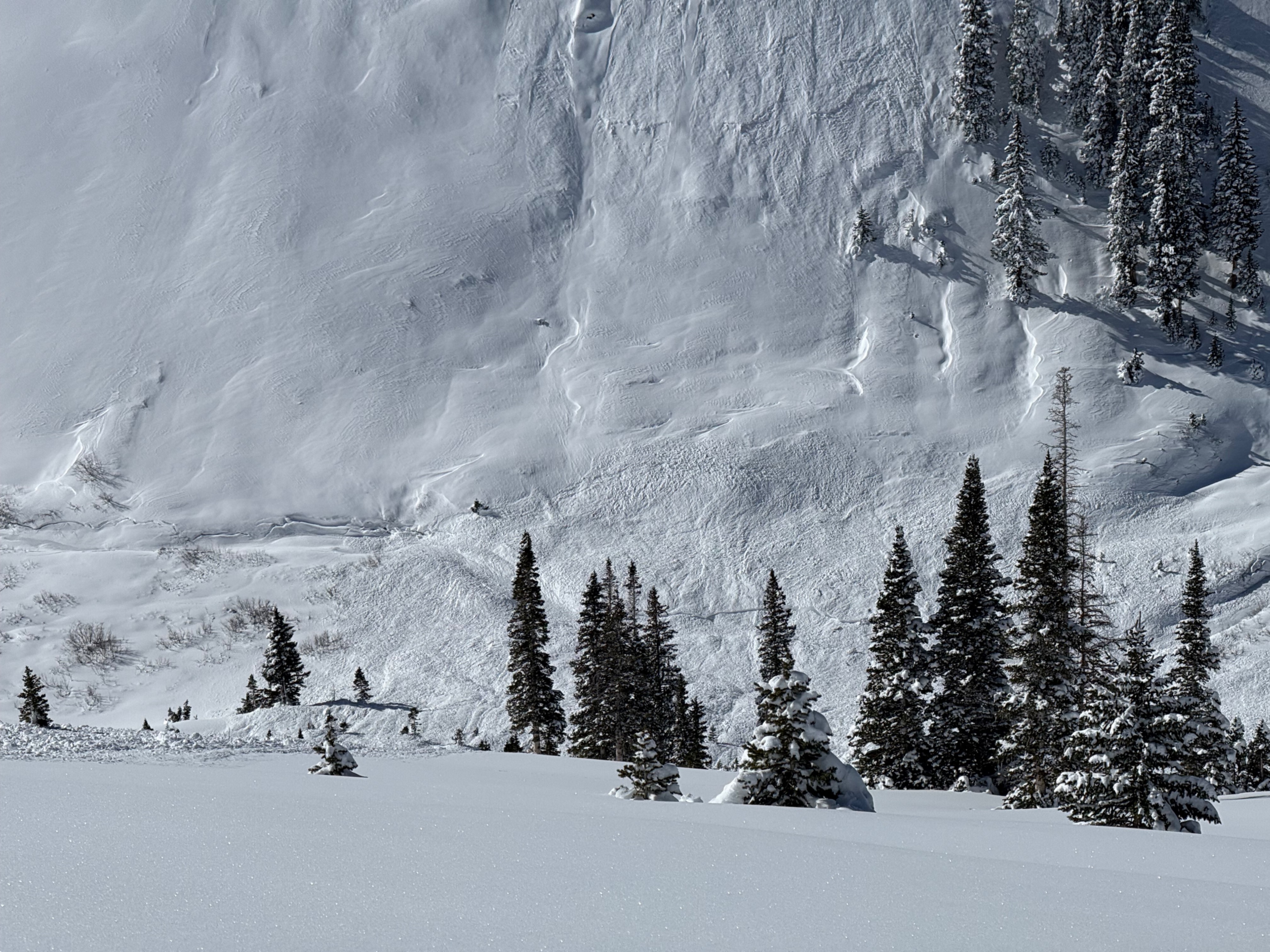
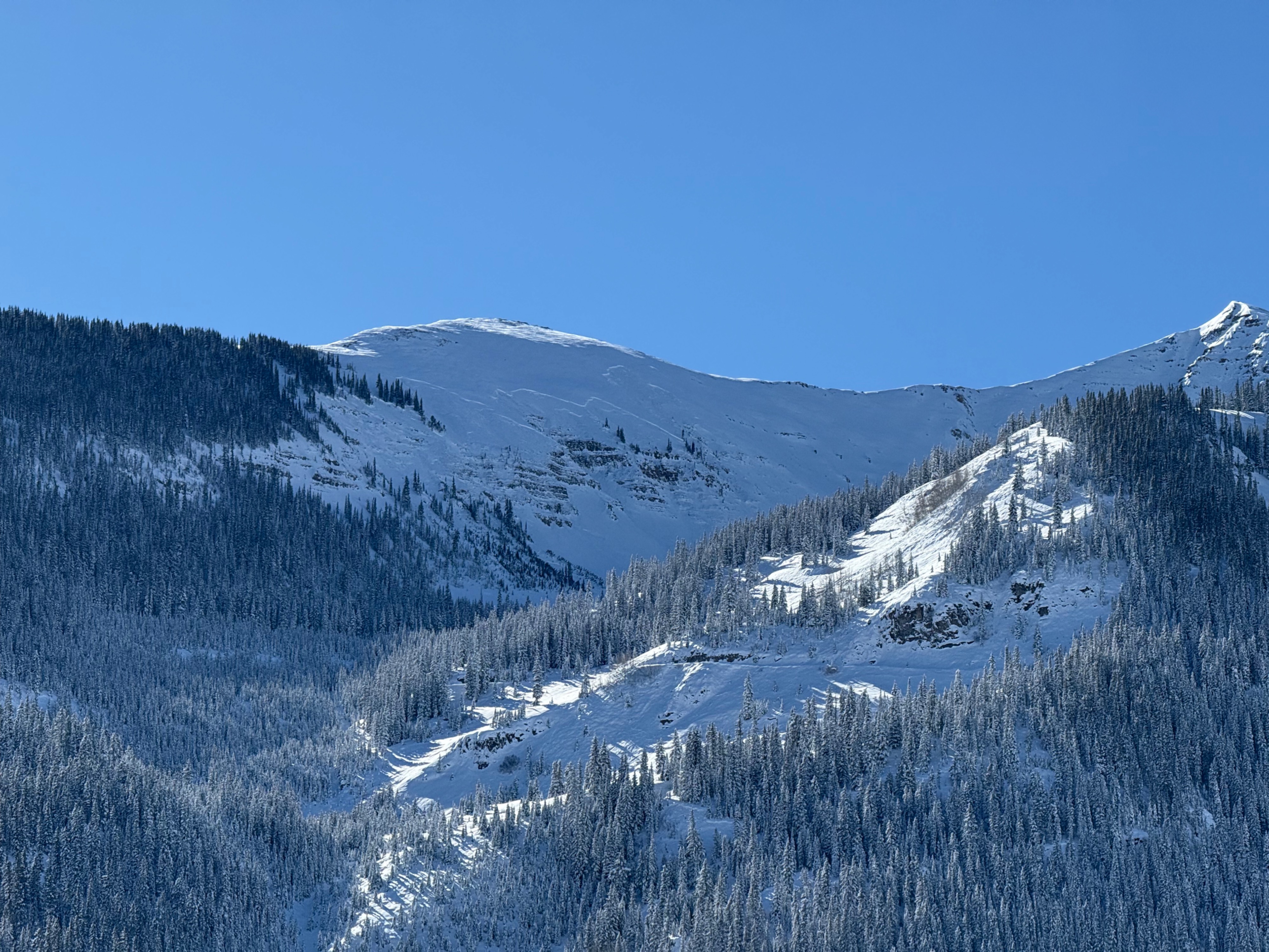
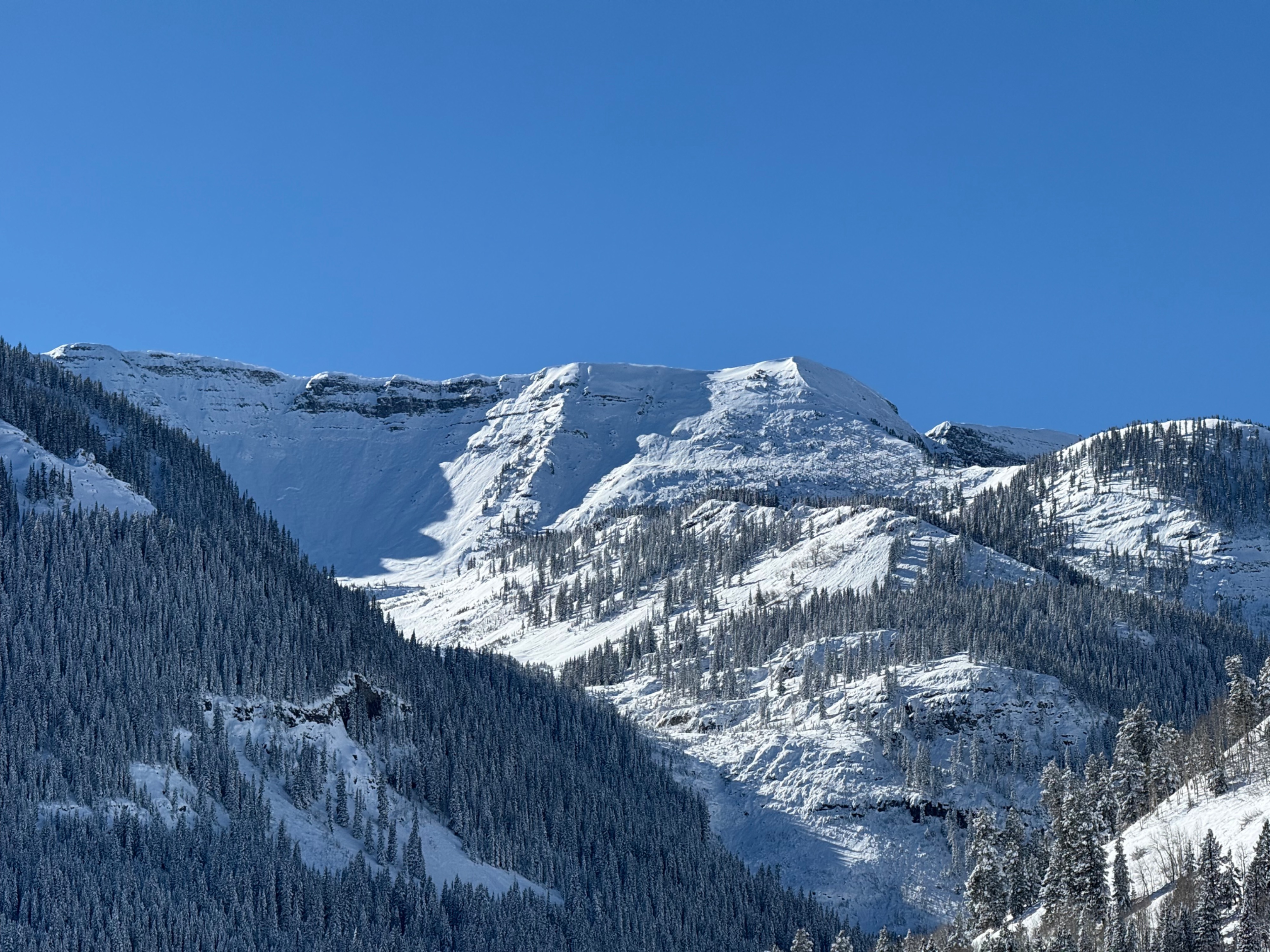
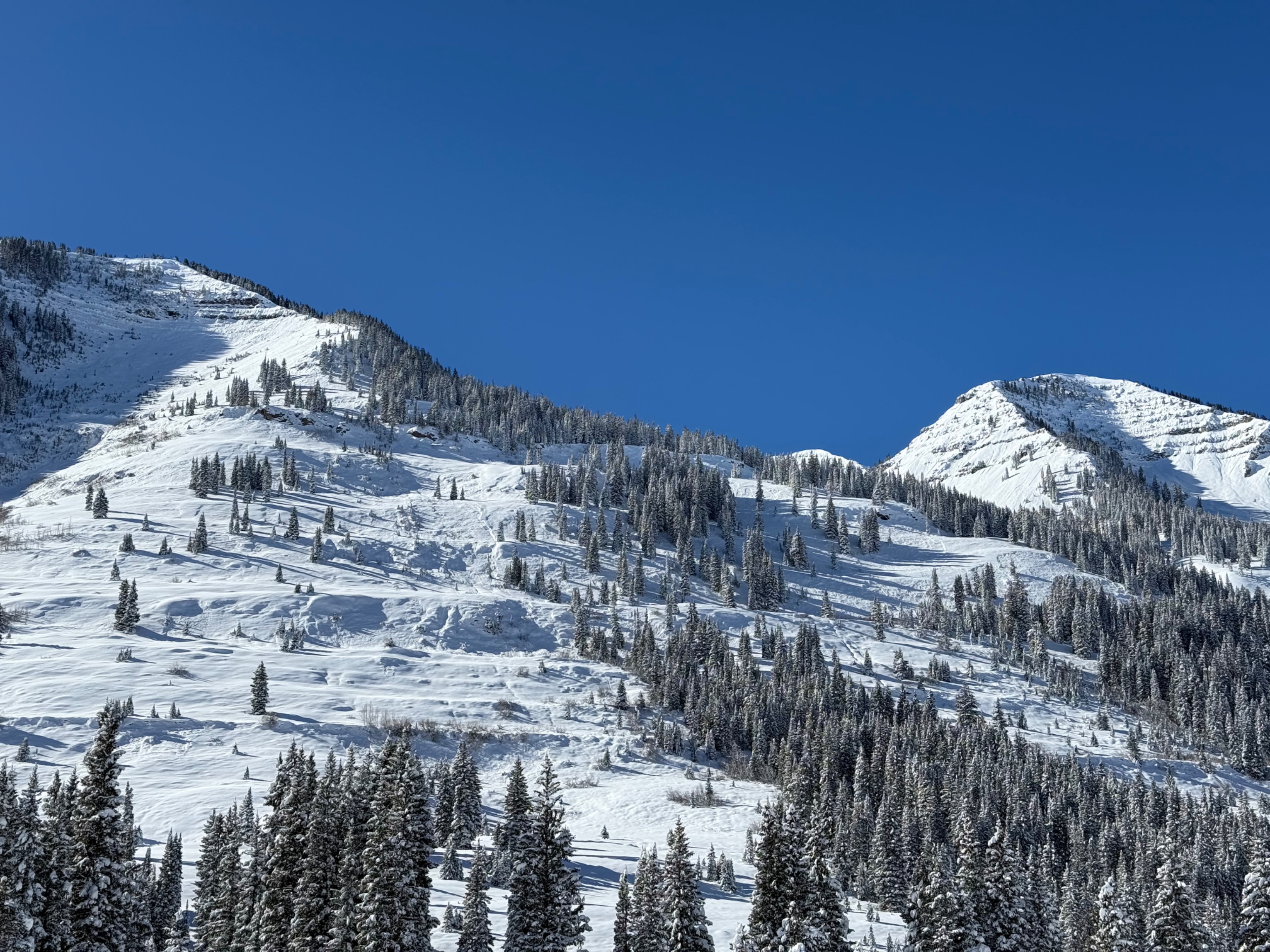
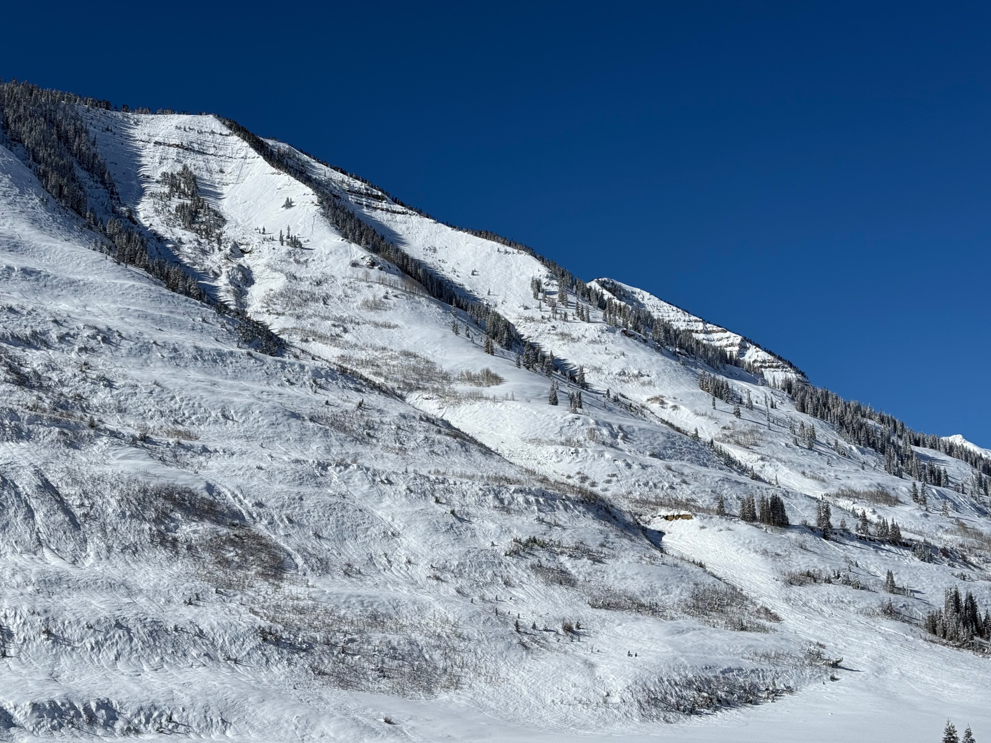
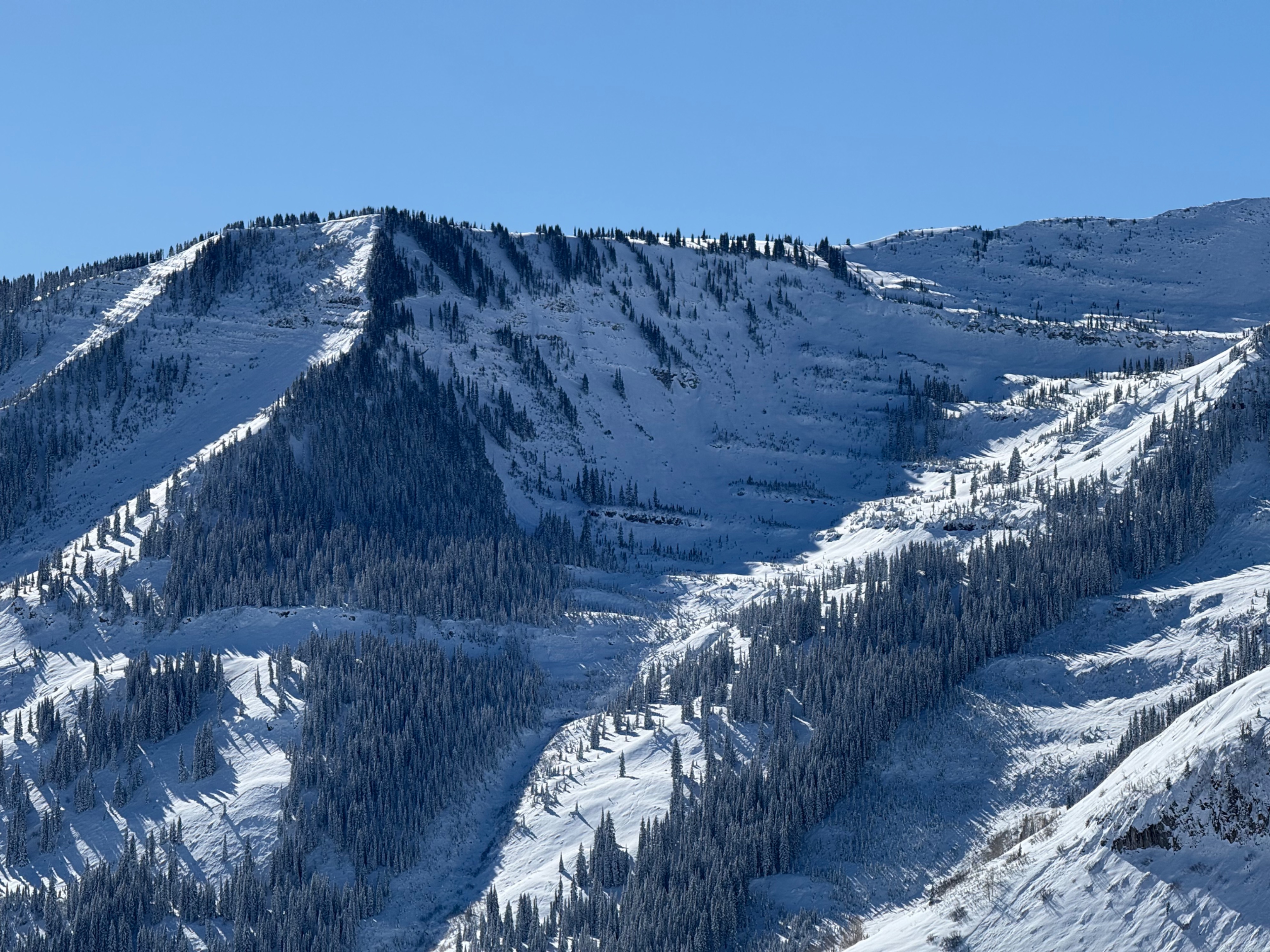
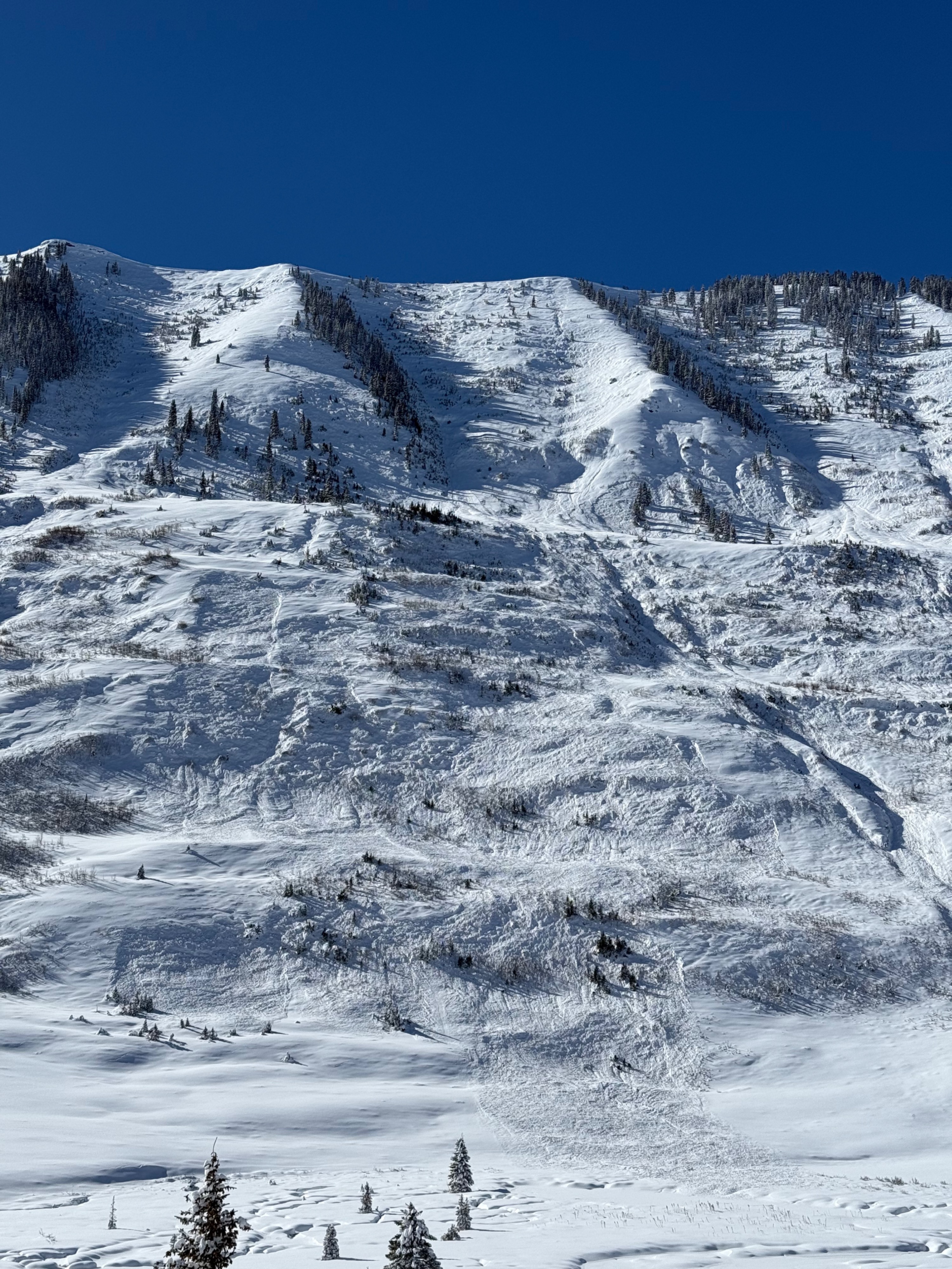
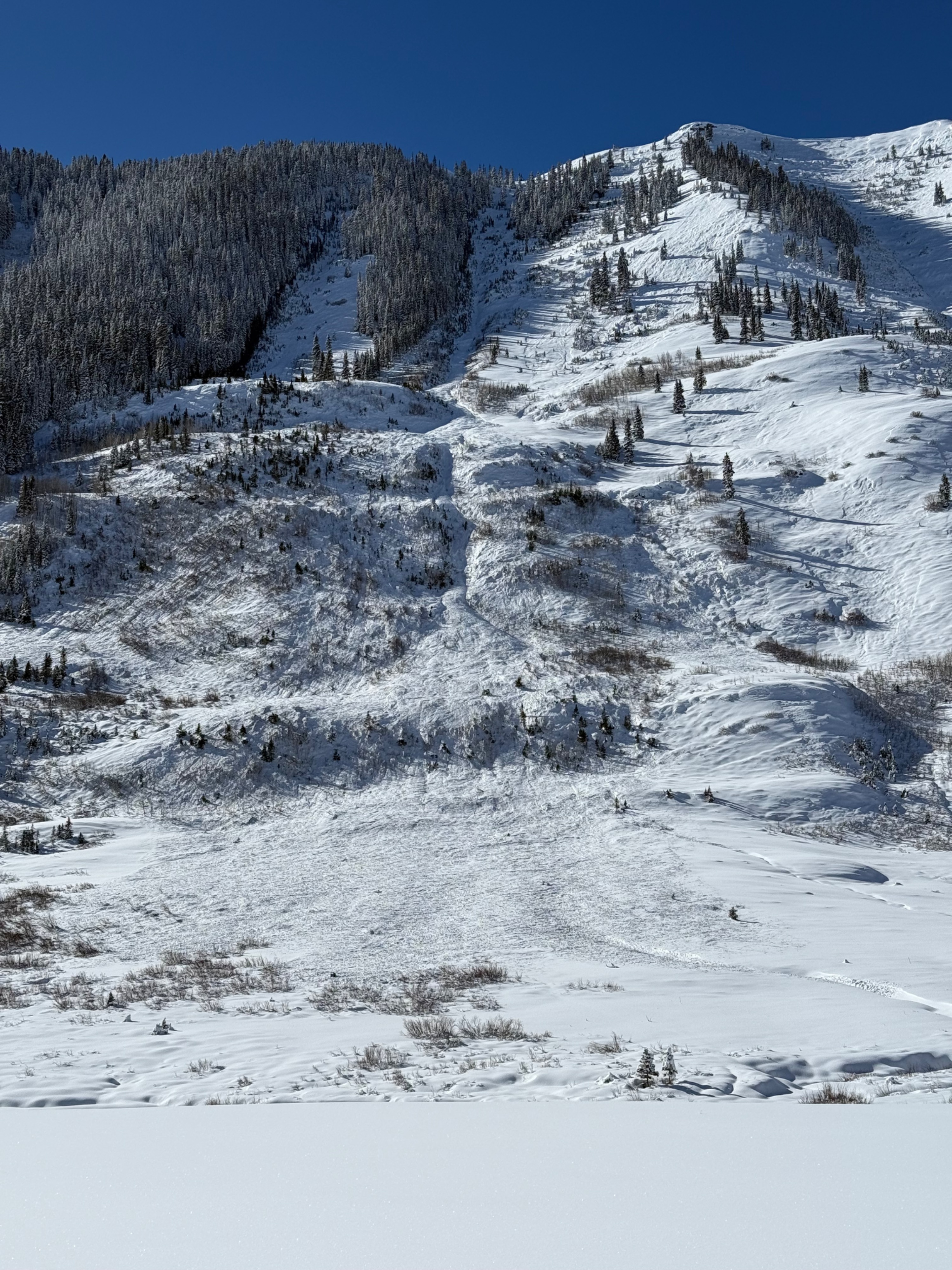
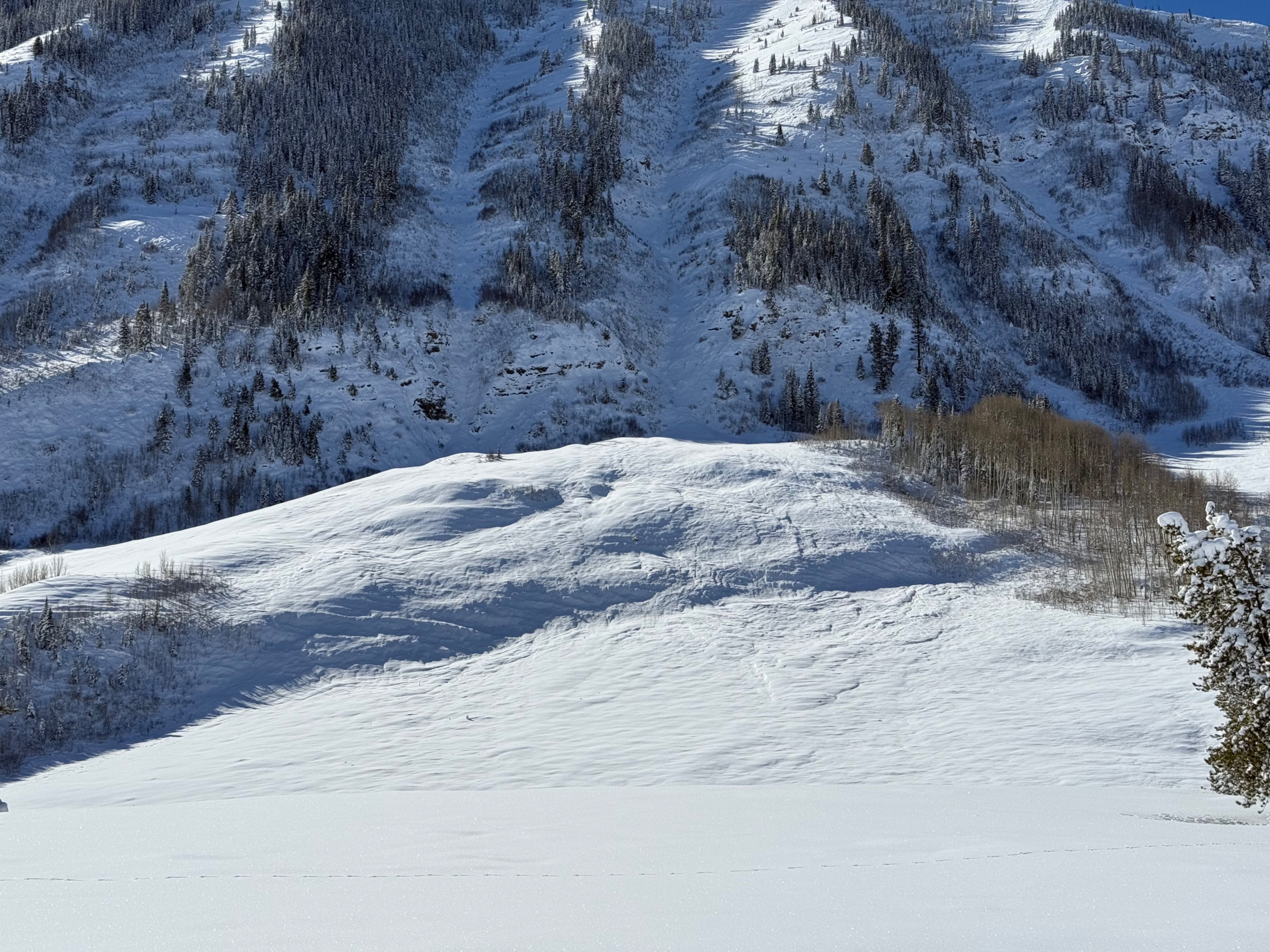
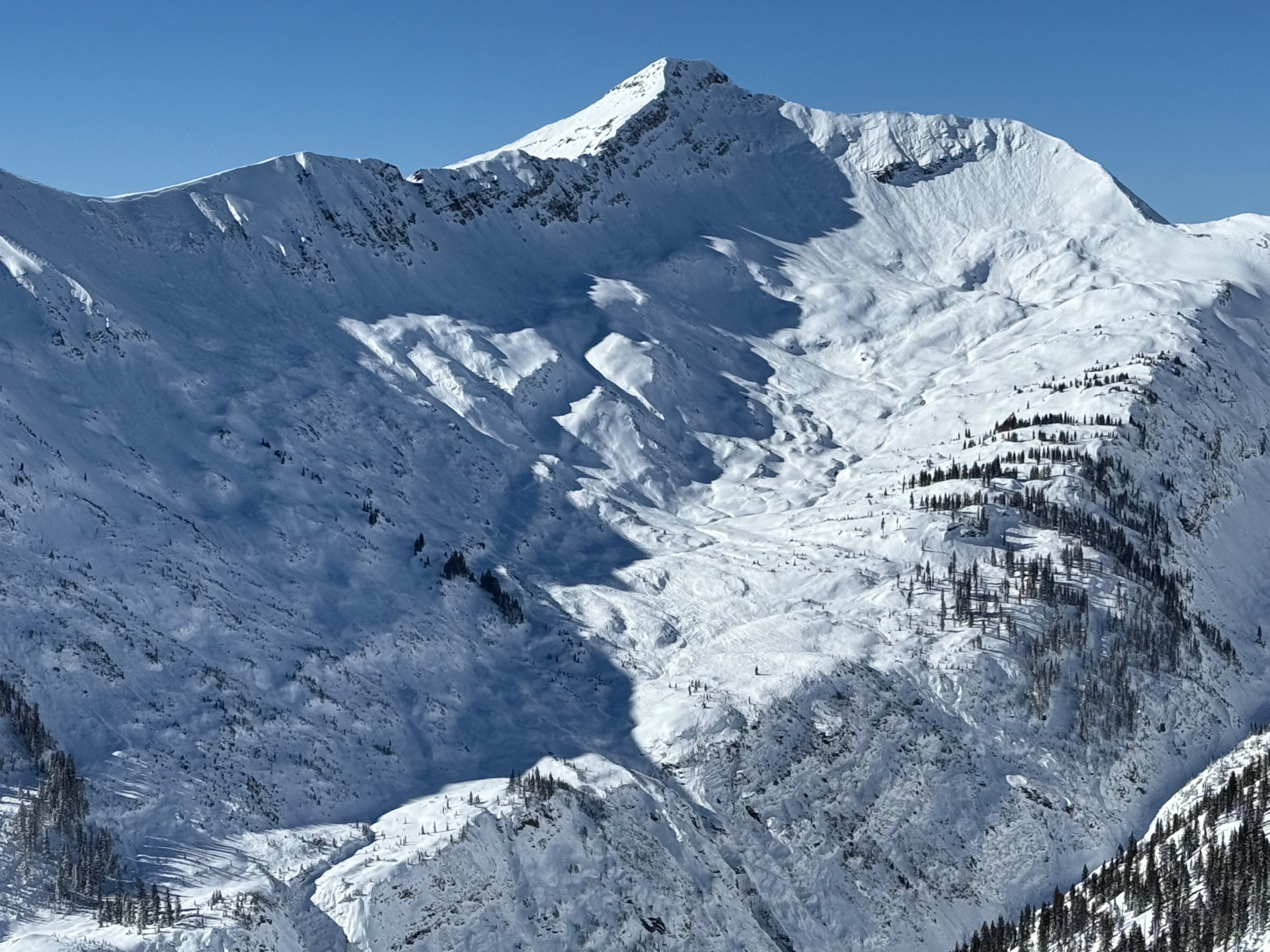
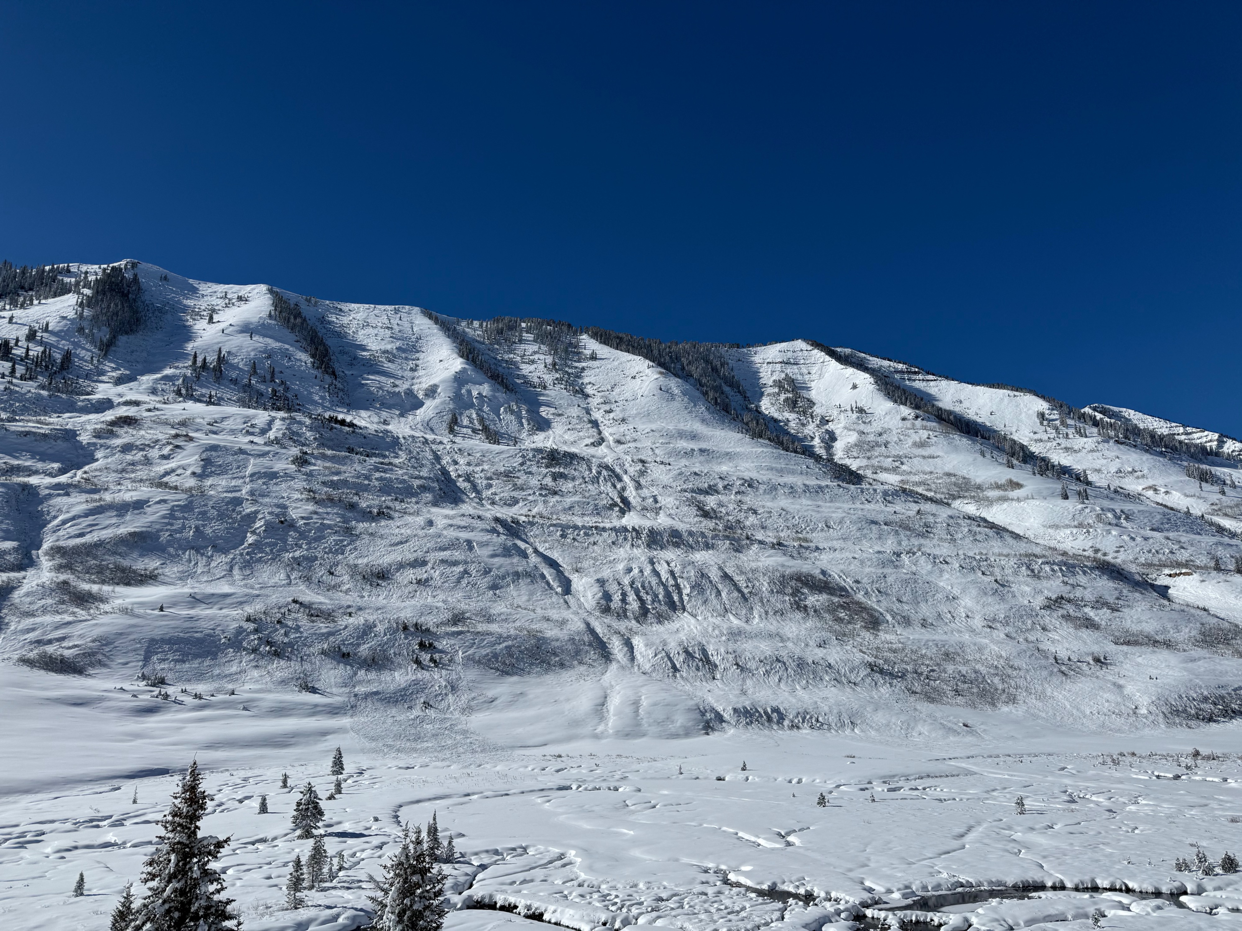
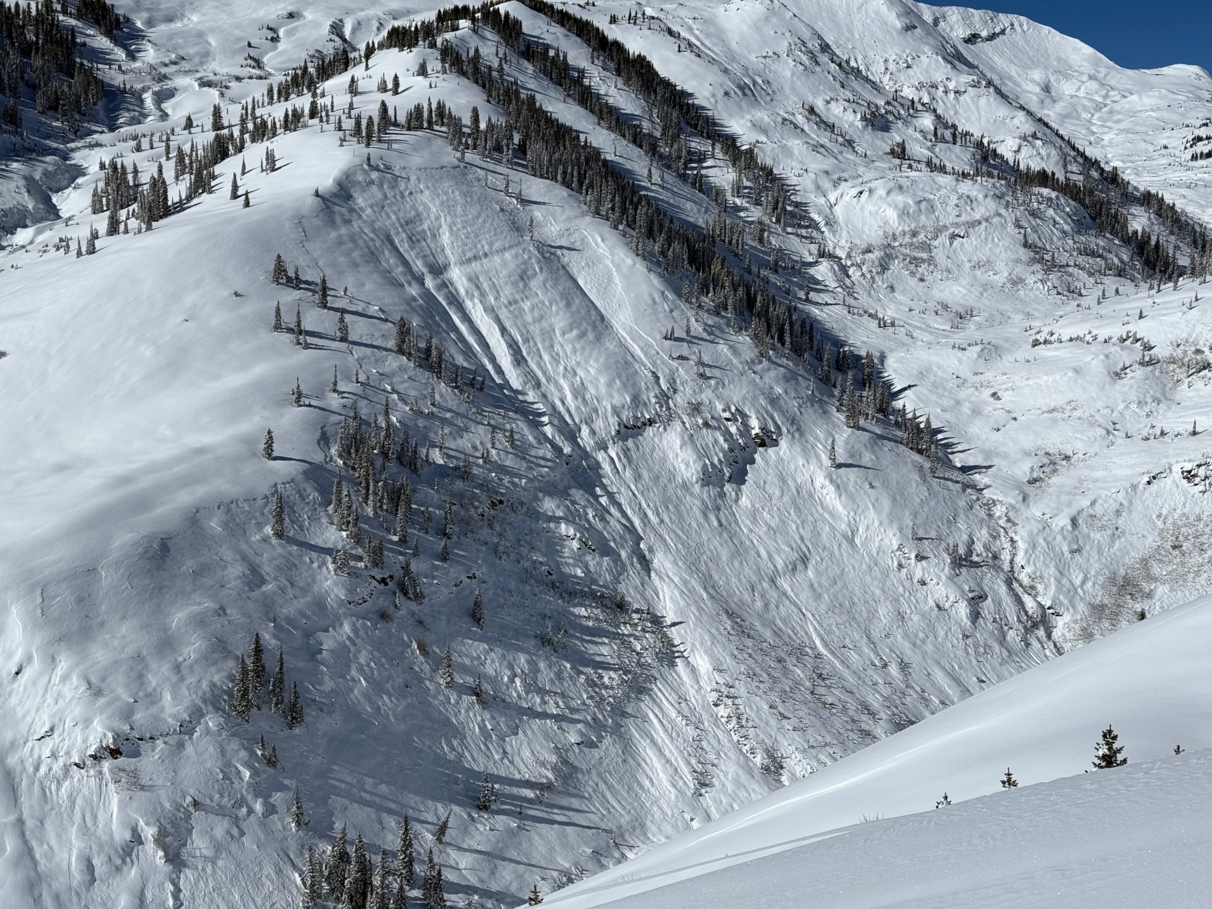
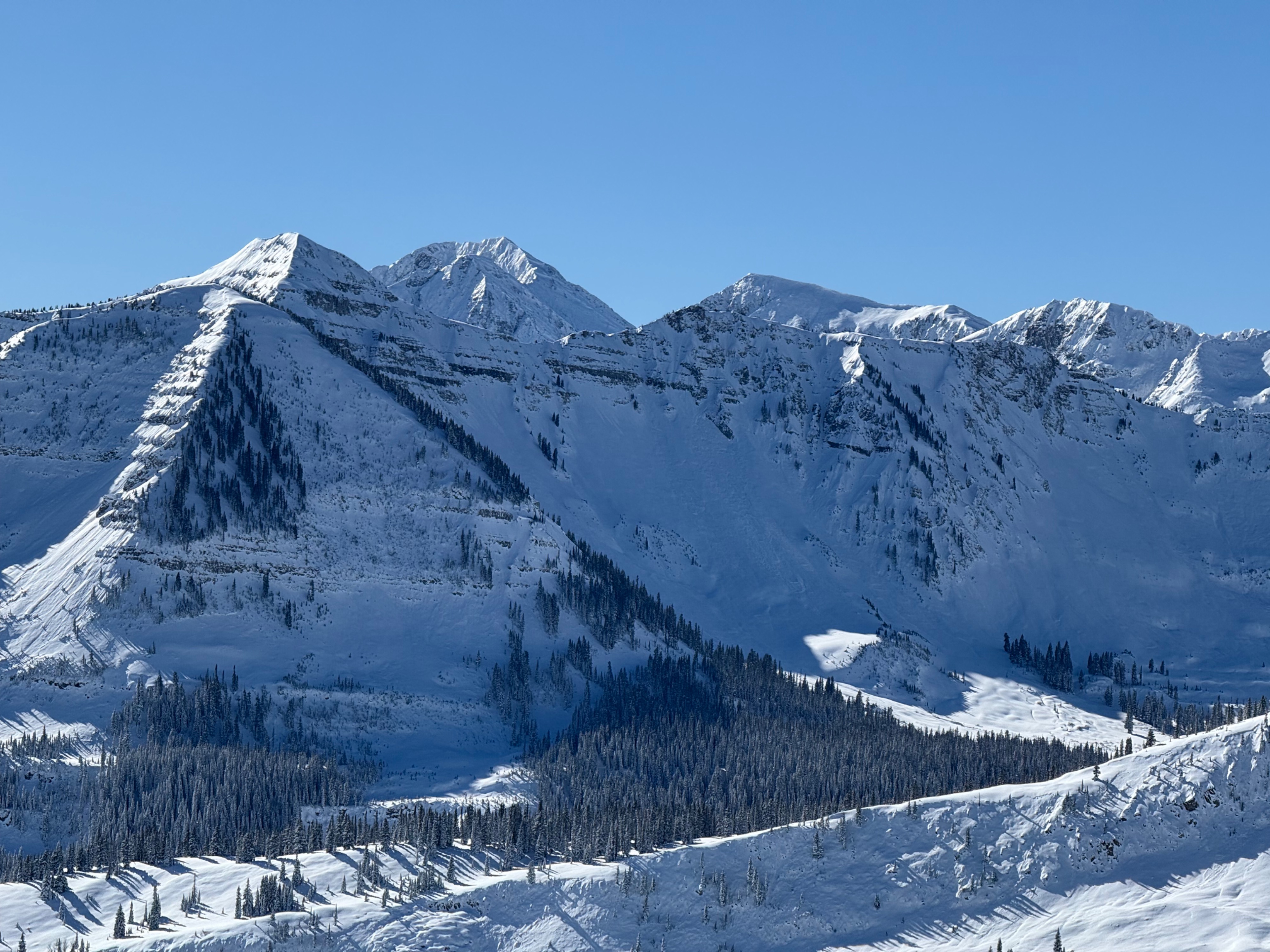
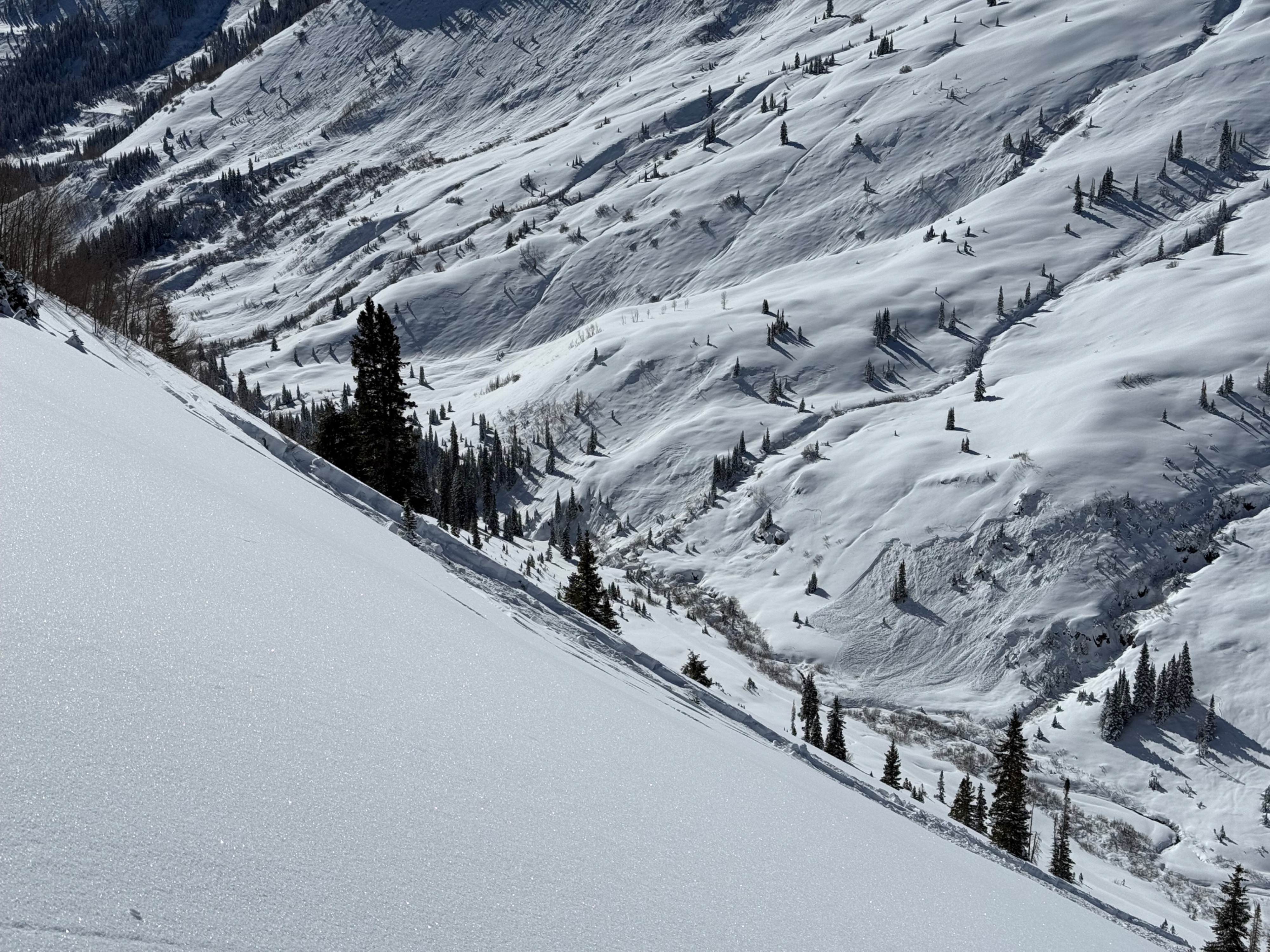
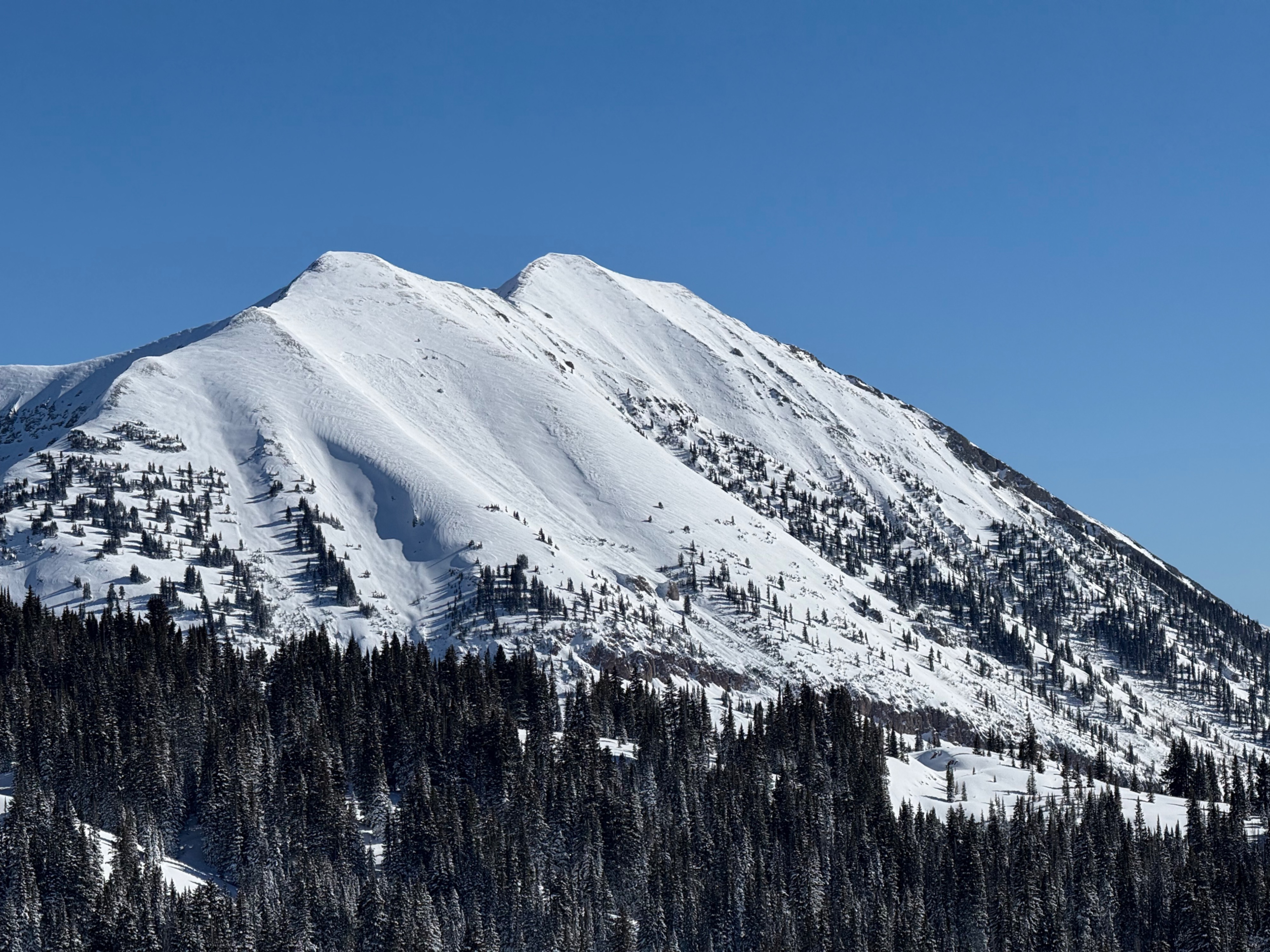
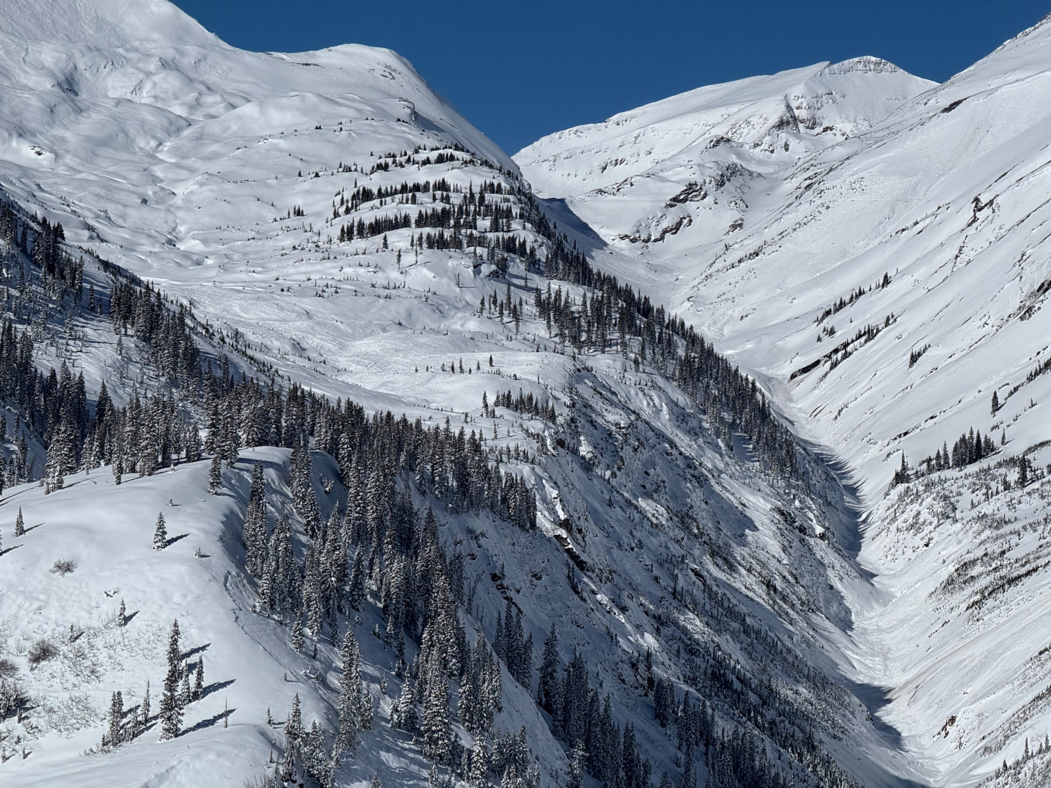
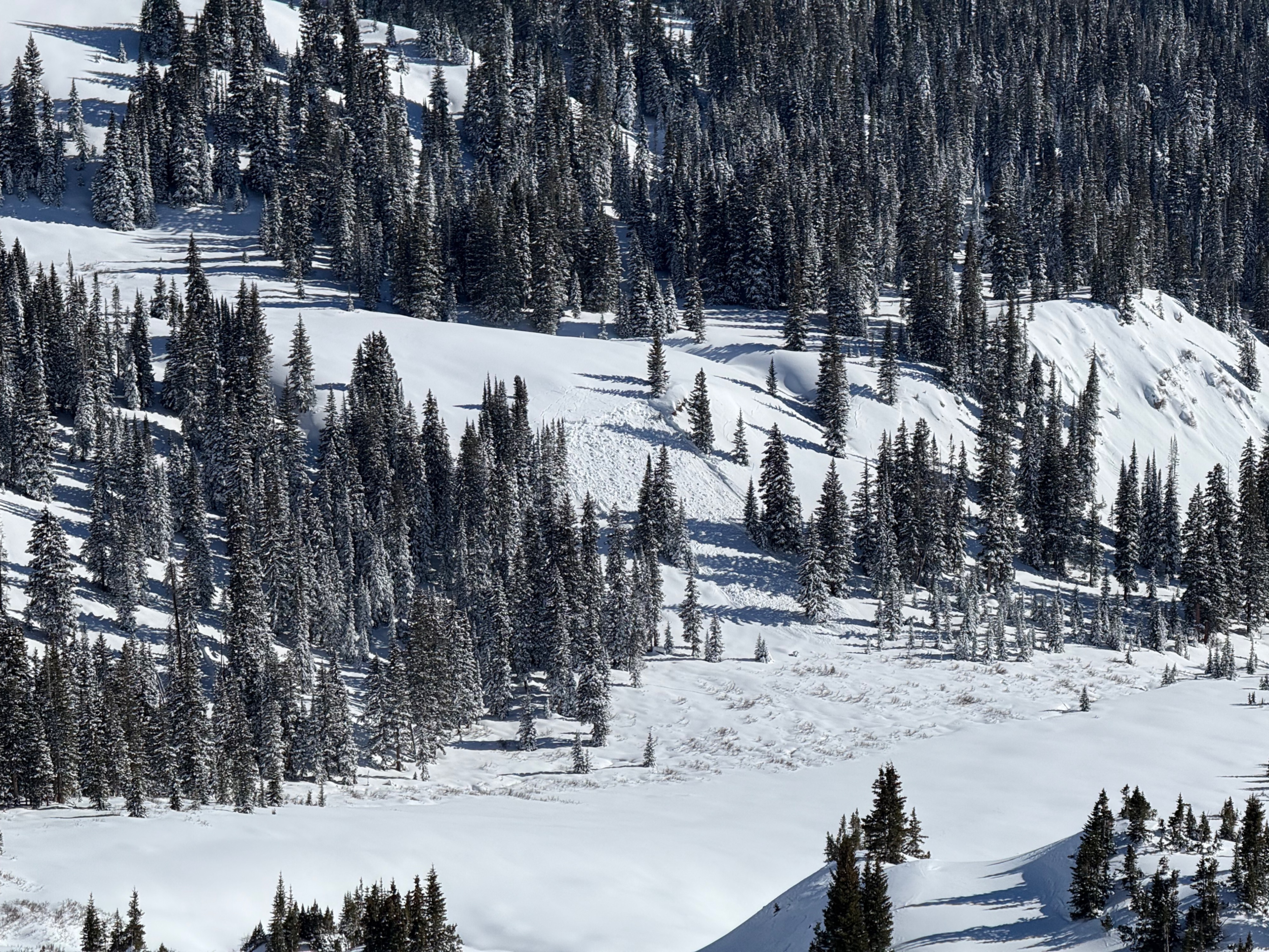
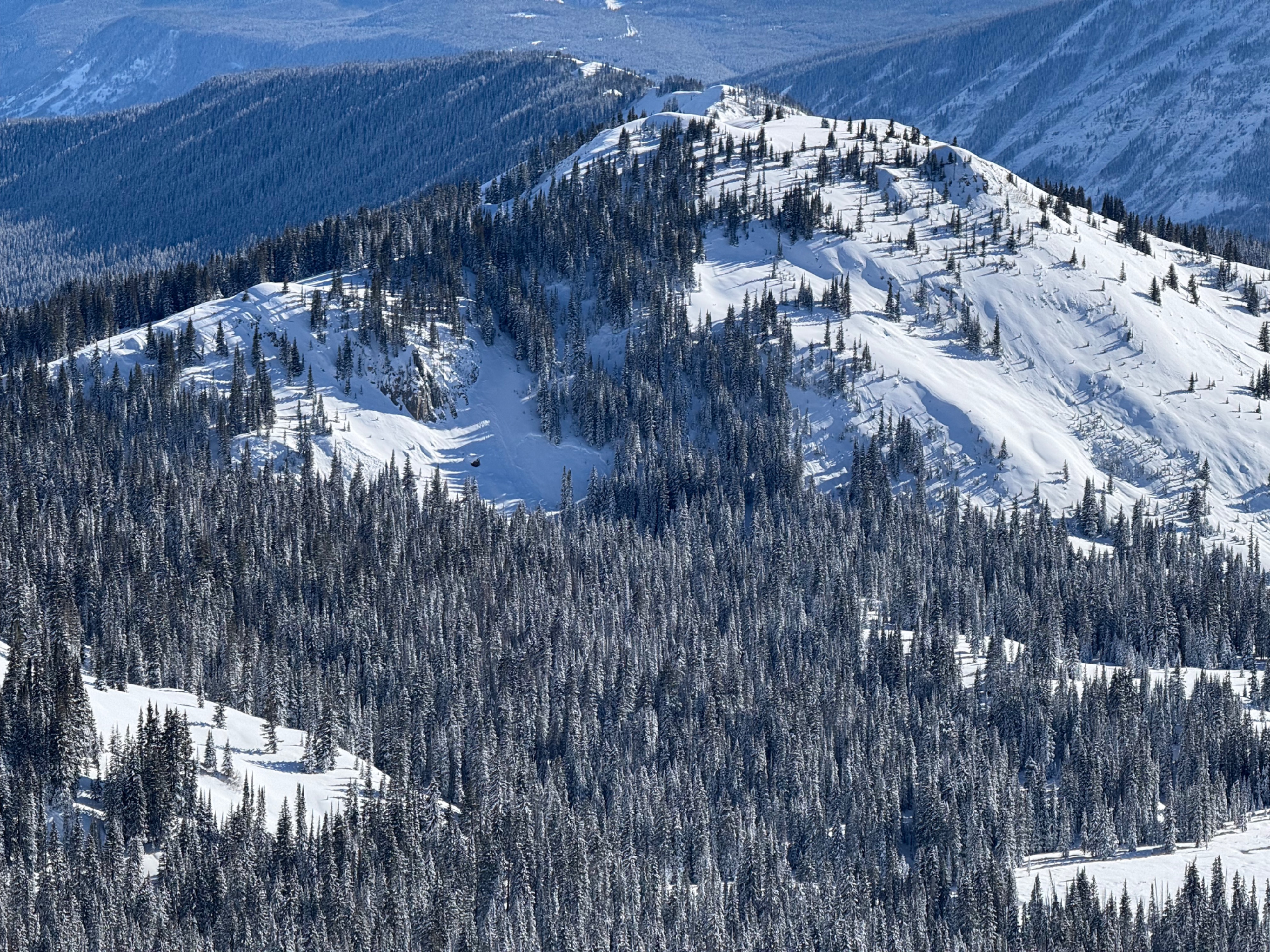
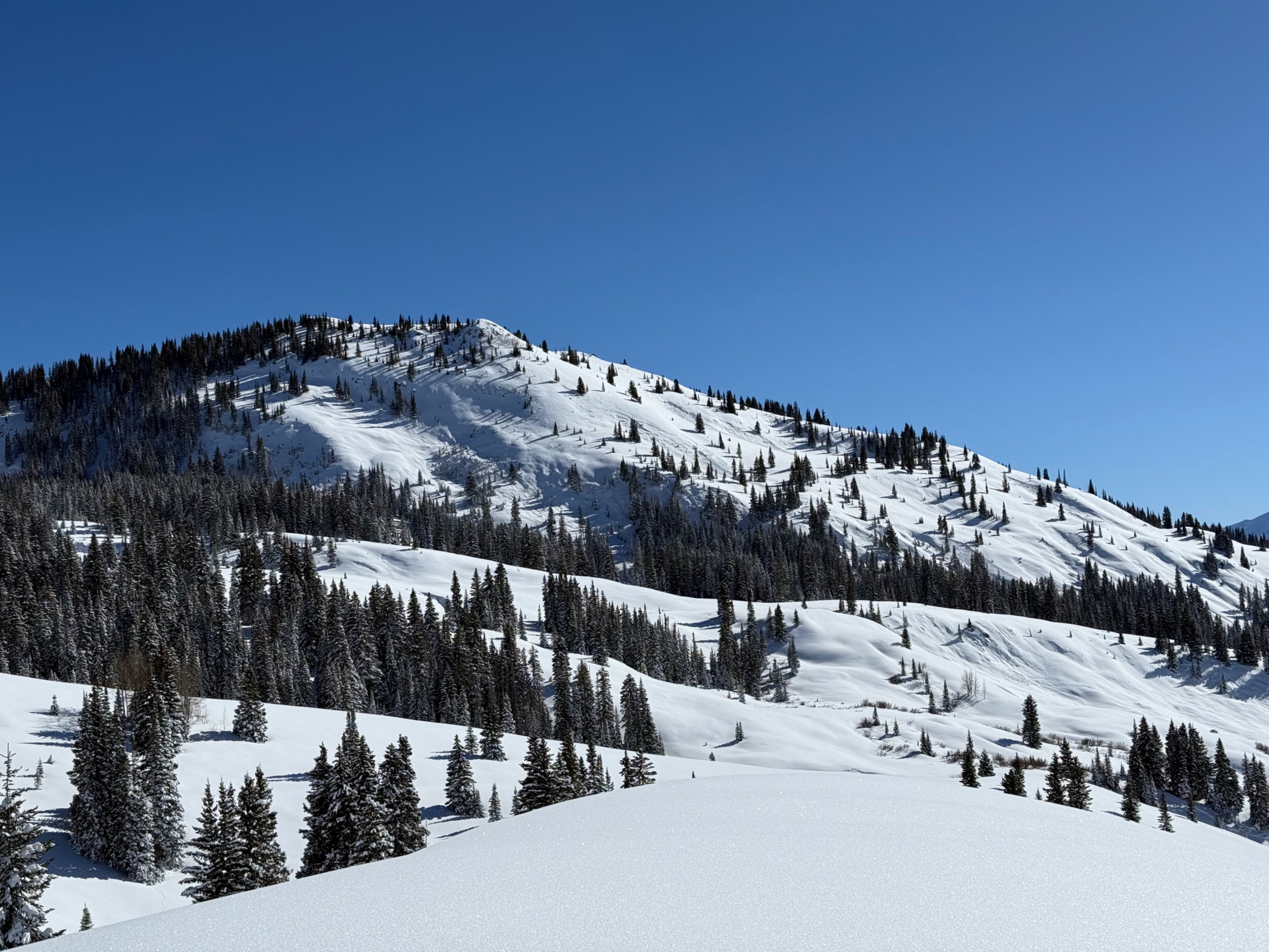
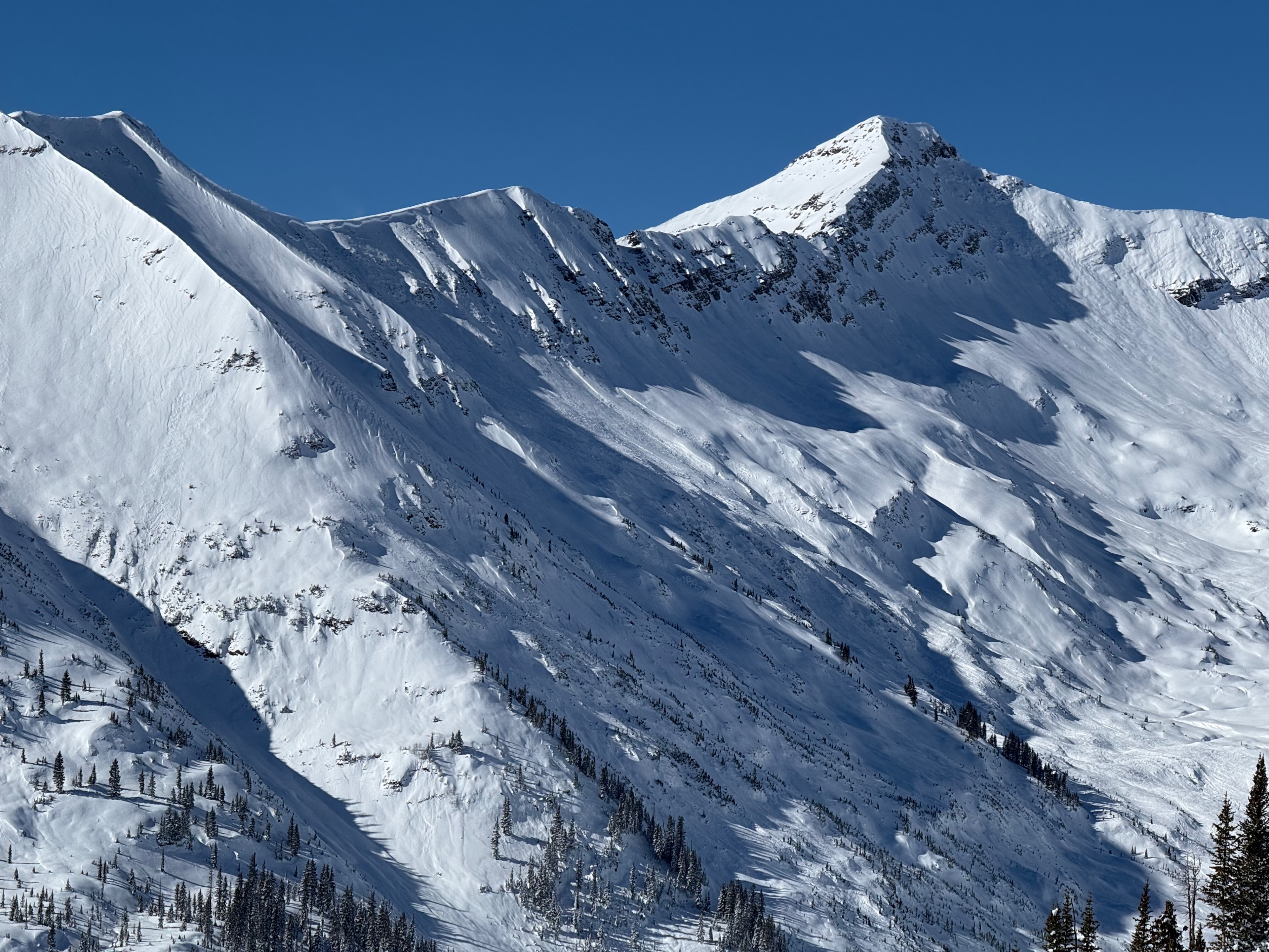
Remotely triggered a large avalanche on a westerly facing slope at 10,400ft. Interestingly, this slope had old cracks through parts of the slope. The Slate River Drainage is a war zone of avalanche activity. We could spend a lifetime documenting avalanche activity out there. Widespread avalanche activity on northerly to easterly facing slopes. Many more natural avalanches on westerly facing slopes. Some natural avalanche activity on southerly facing terrain, but they generally look like they fit in the storm slab category from afar. I'll add many photos to the ob, and then start to document the most notable avalanches as time allows. Some of these avalanches were previously documented by Zach. Baxter Basin continues on the war zone theme. Looks like some very wide propagating avalanches, such as near Daisy Pass. Without being able to see the whole run out it's hard to classify everything.