
Quick report
- Collapsing
- isolated
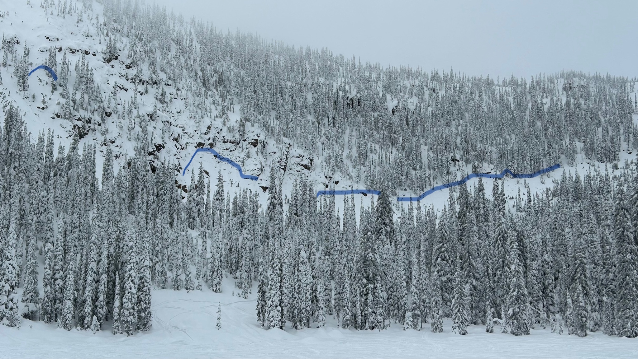
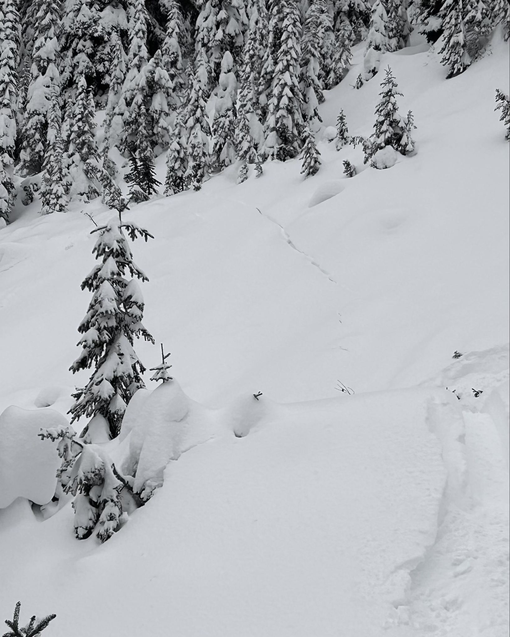
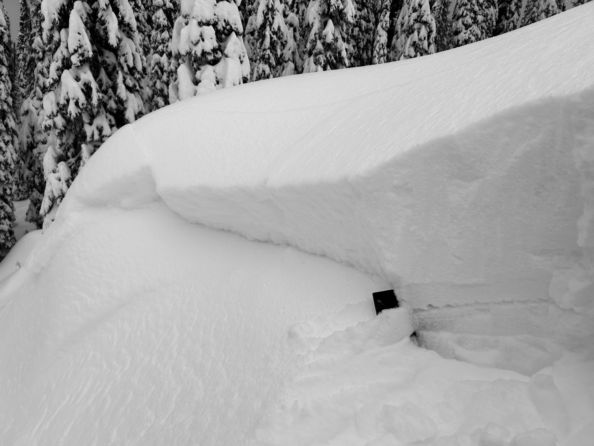
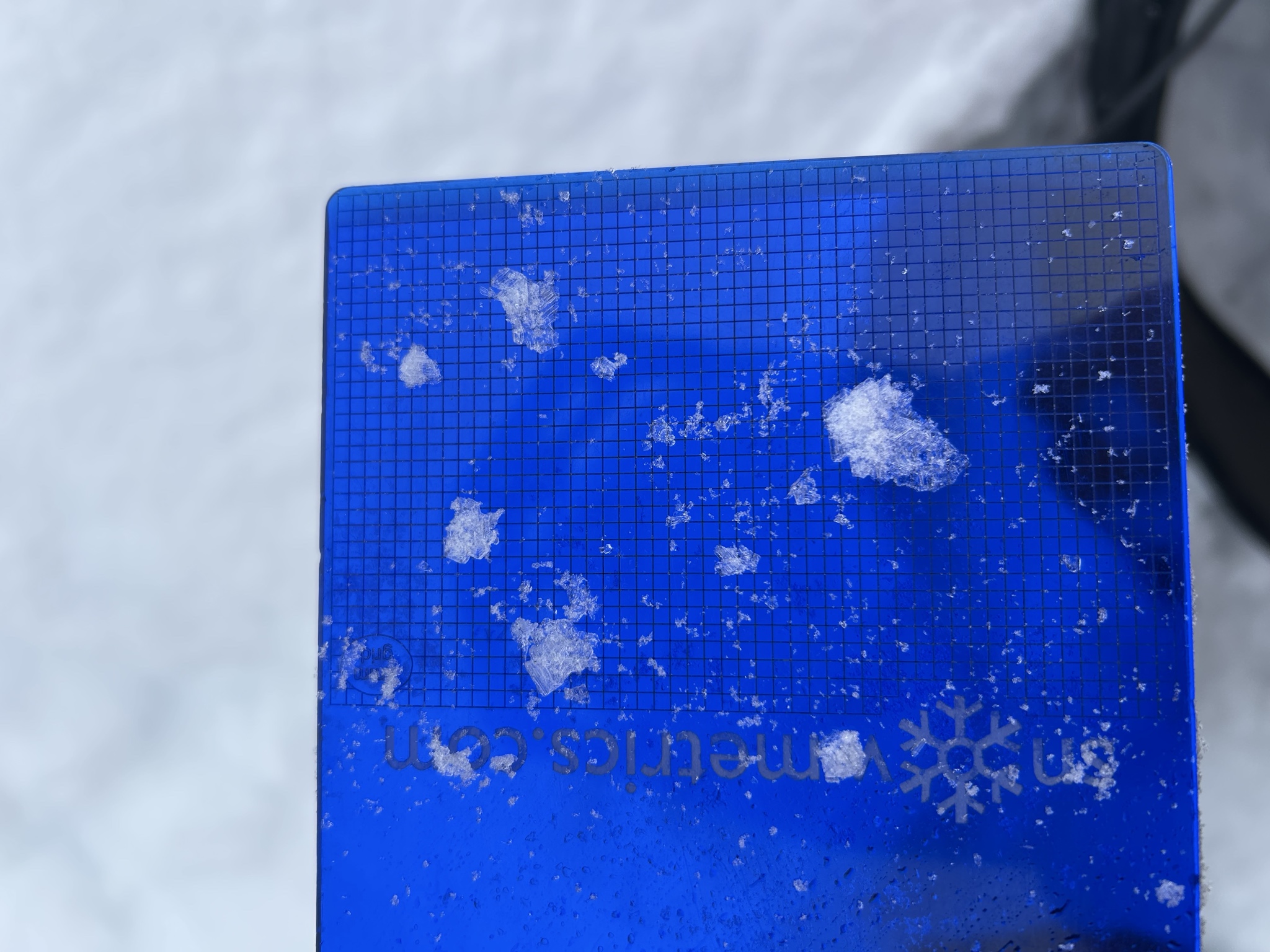
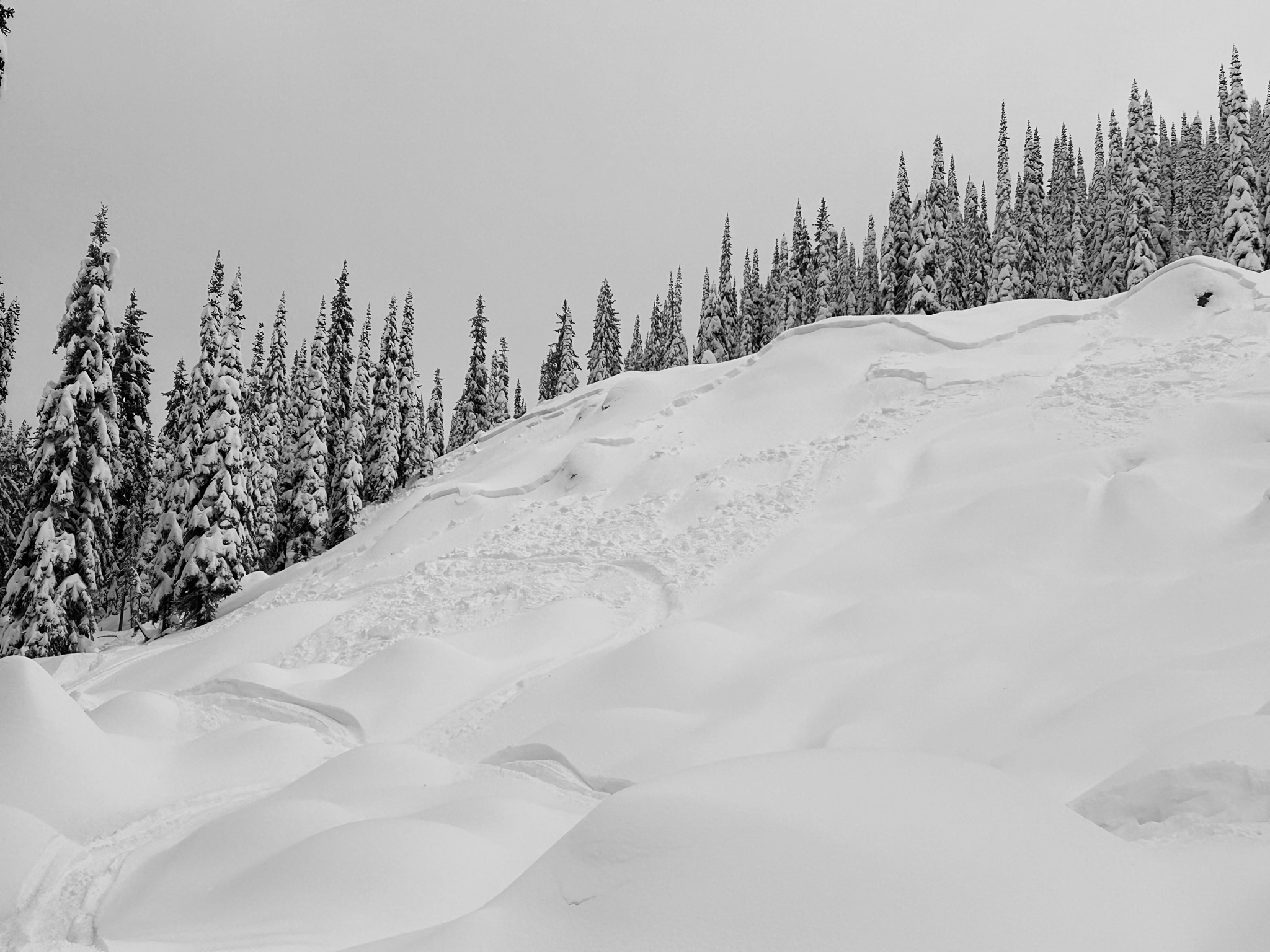
Today we went to Stahl peak area in the northern Whitefish Range. We traveled primarily on southerly aspects and got some views of north and east facing aspects. - New snow totals averaged 12 to 18 inches above 6000 feet. - New snow rests on a sun crust on solar aspects and surface hoar on shaded aspects. - We experienced one audible collapse in an opening on the valley floor. - Observed roughly 10 slab avalanches on east and north facing slopes. These likely failed during the storm. - We did one crown profile and found buried surface hoar as the weak layer. The surface hoar we saw was large (nearly 2 cm) in size. - Snowpit tests revealed no results on south aspects and we experienced no signs of instability on south aspects. We traveled conservatively today given the recent loading on persistent weak layers. I’ll be giving shaded aspects with 8+ inches of snow plenty of space for some time to come. This observation was done using the Avy app. If you haven’t gotten it, I certainly recommend it. We felt one collapse on the valley floor at about 6200 feet.
Weather
- Air Temp
- Below Freezing
- Cloud Cover
- overcast
- Wind Loading
- previous
- Recent Snowfall
- 45
- Snow Avail For Transport
- moderate amounts
Cloud cover ranged from overcast to obscured. Cloud ceiling was at about 6500 ft. Calm winds. No precip.
Avalanche
- Size
- D2
- Type
- SS
- Count
- 3
- Aspect
- NE
- Trigger
- N
- Elevation
- 6600 ft
- We observed recent avalanches on north and east aspects above 6000 feet. - Avalanches varied in size between small (D1) and large (D2). - Crown heights averaged 1 foot in depth. - These likely failed during the storm (12/7).