
Weather
- Air Temp
- 25
- Cloud Cover
- overcast
- Wind Loading
- moderate
- Recent Snowfall
- 0-1 inches
- Snow Avail For Transport
- large amounts
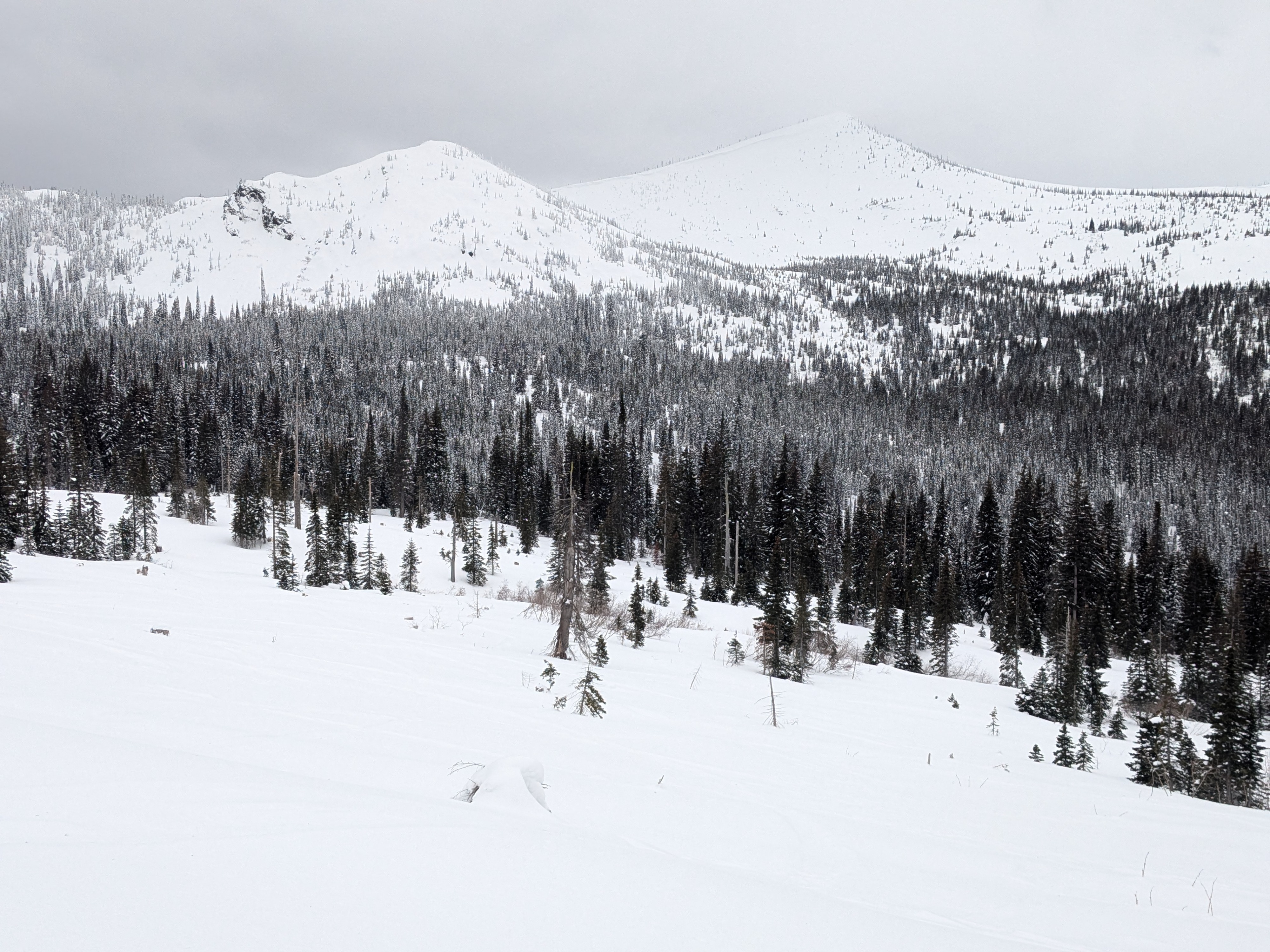
Overcast skies and brief moments of partial sun. Winds were moderate with stronger gusts along ridgetops and in exposed terrain. Temperatures were as expected, 20s F.
Snowpack
Southwest winds have built deeper, more reactive slabs on leeward aspects. We found pockets of wind-drifted snow at mid and upper elevations, especially near ridgetops. After multiple days of strong winds, drifting may extend farther down below ridgelines than is typical. Cornices are finally starting to get large on exposed leeward slopes. Gusts have also been strong enough to cross-load slopes, depositing snow into gullies, convex rollovers, and other terrain features regardless of aspect.
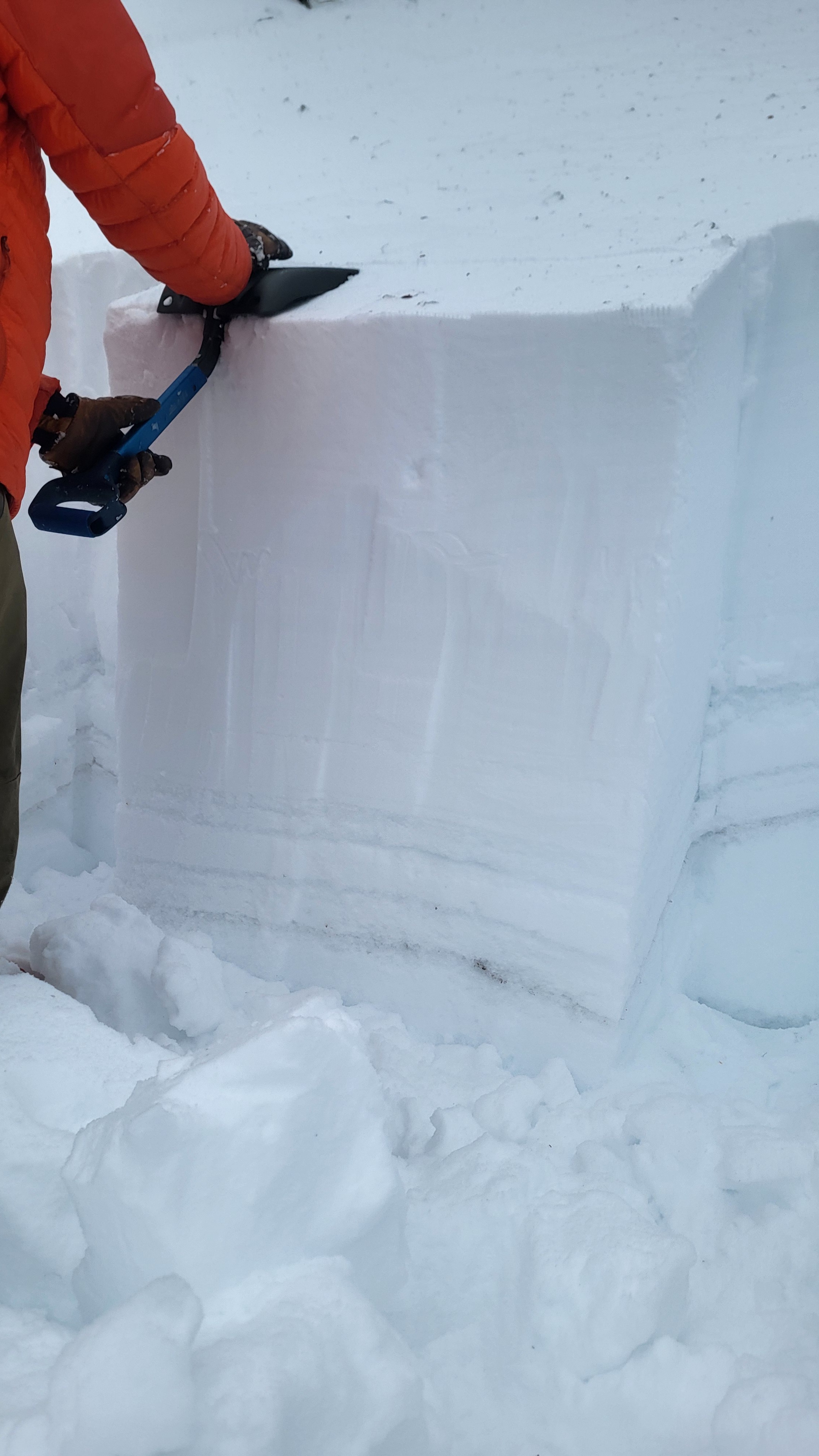
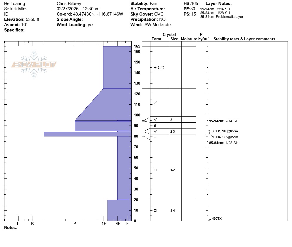
Slab depths over pesky persistent weak layers are now 2 to 4 feet deep and becoming increasingly stiffer by the day. This means, avalanches breaking in any one of our suspect weak layers is still possible, even as the snowpack gains strength. These dangerous slabs slowly formed during incremental snowfall in February and began firing off dozens of large dangerous avalanches in the middle of the month. This week’s light snow load has not provided the major gut punch to the snowpack needed to provoke a widespread natural cycle.
Avalanche
- Size
- D2
- Type
- SS
- Aspect
- E
- Trigger
- N
- Elevation
- 6000 ft