
Quick report
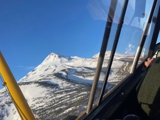
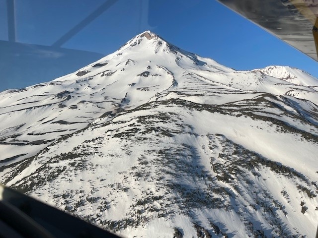
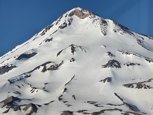
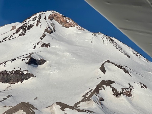
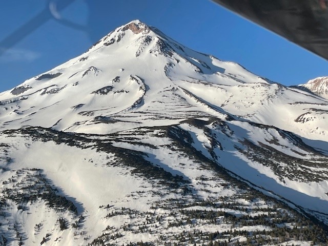
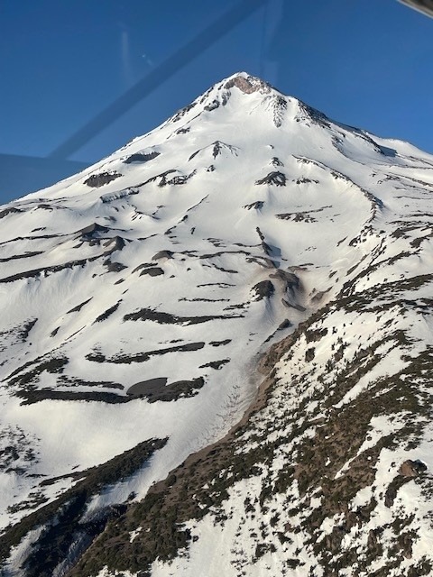
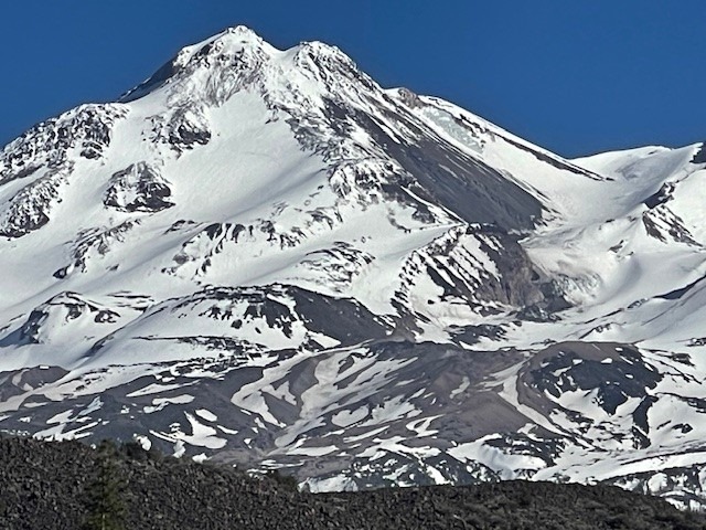
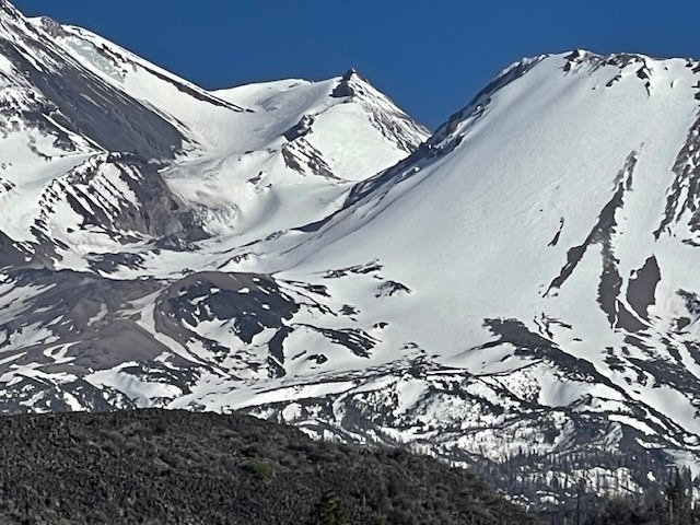
Aerial photos of the north side. Couple of the photos of the Whitney-Bolam areas are from May 6th. The other photos are from May 24th. Dates taken are in captions.
Trailhead access:
North Gate is open
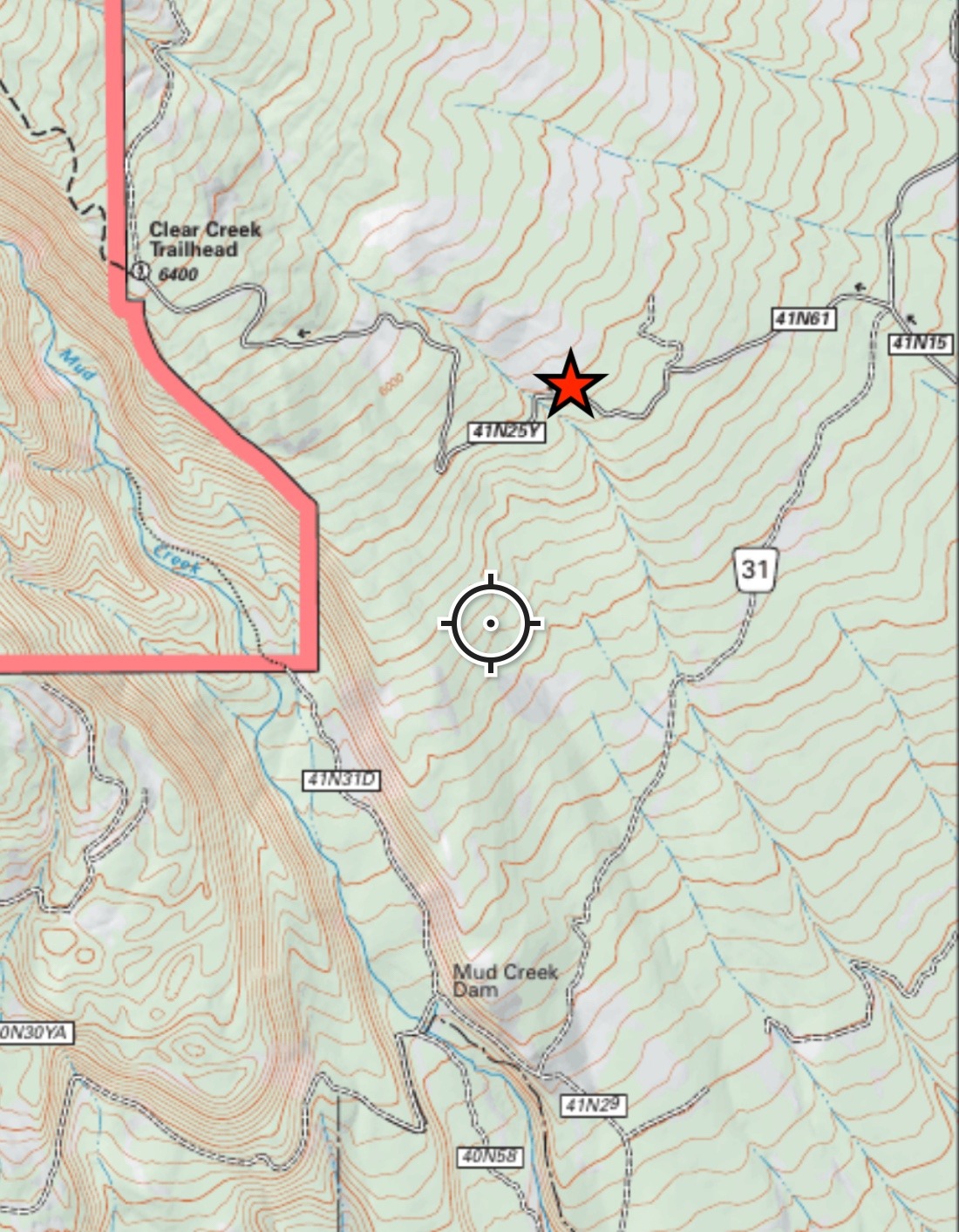
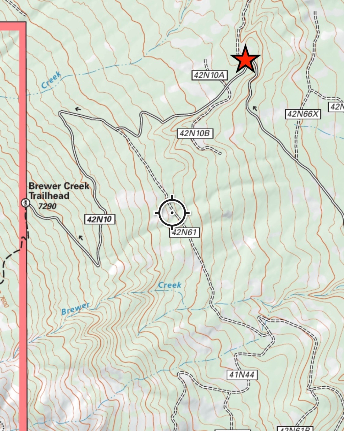
Clear Creek and Brewer Creek Trailhead are still unaccessible due to snow. As of May 29, both hold 3 road miles of snow.