
Quick report
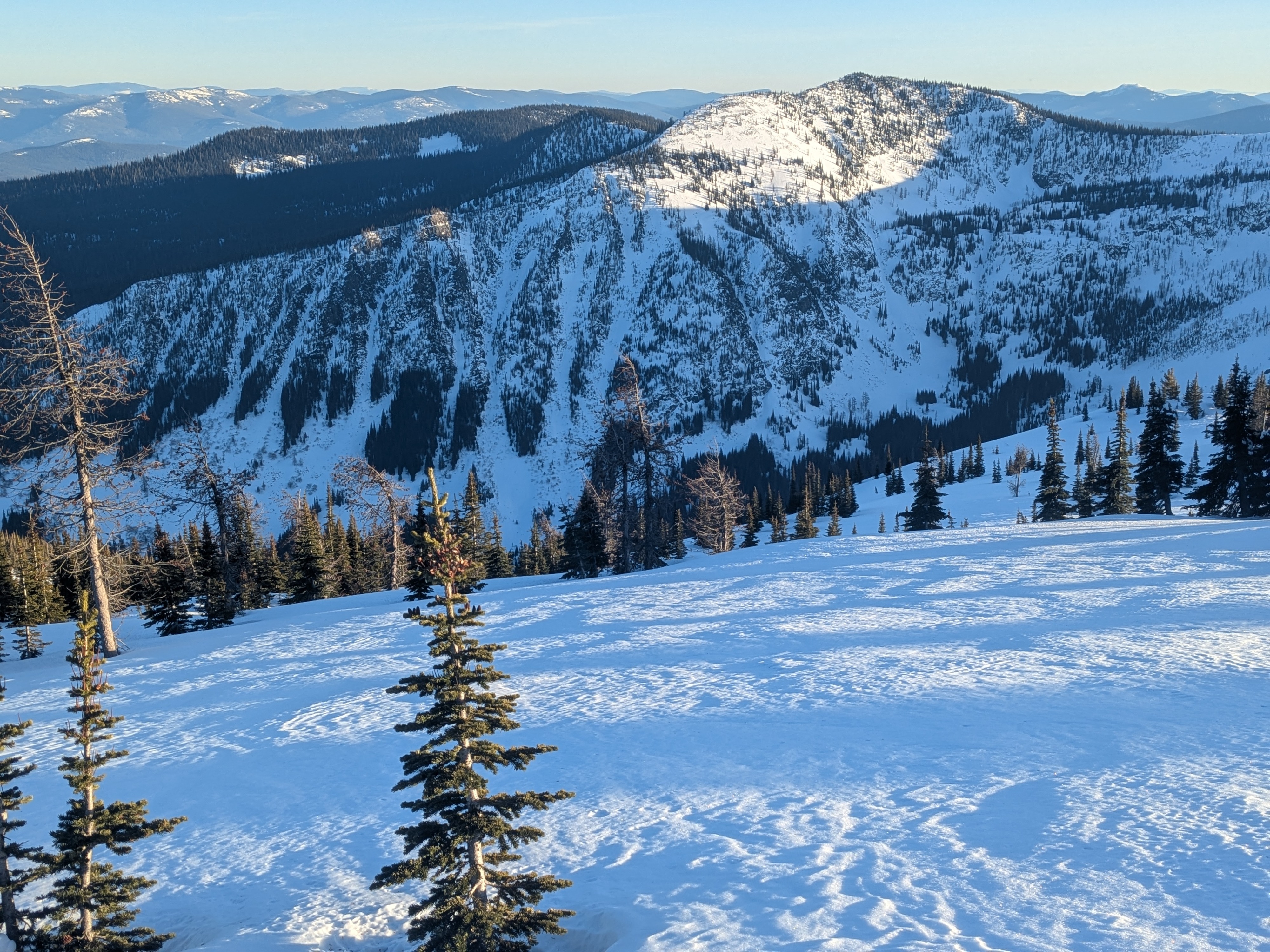
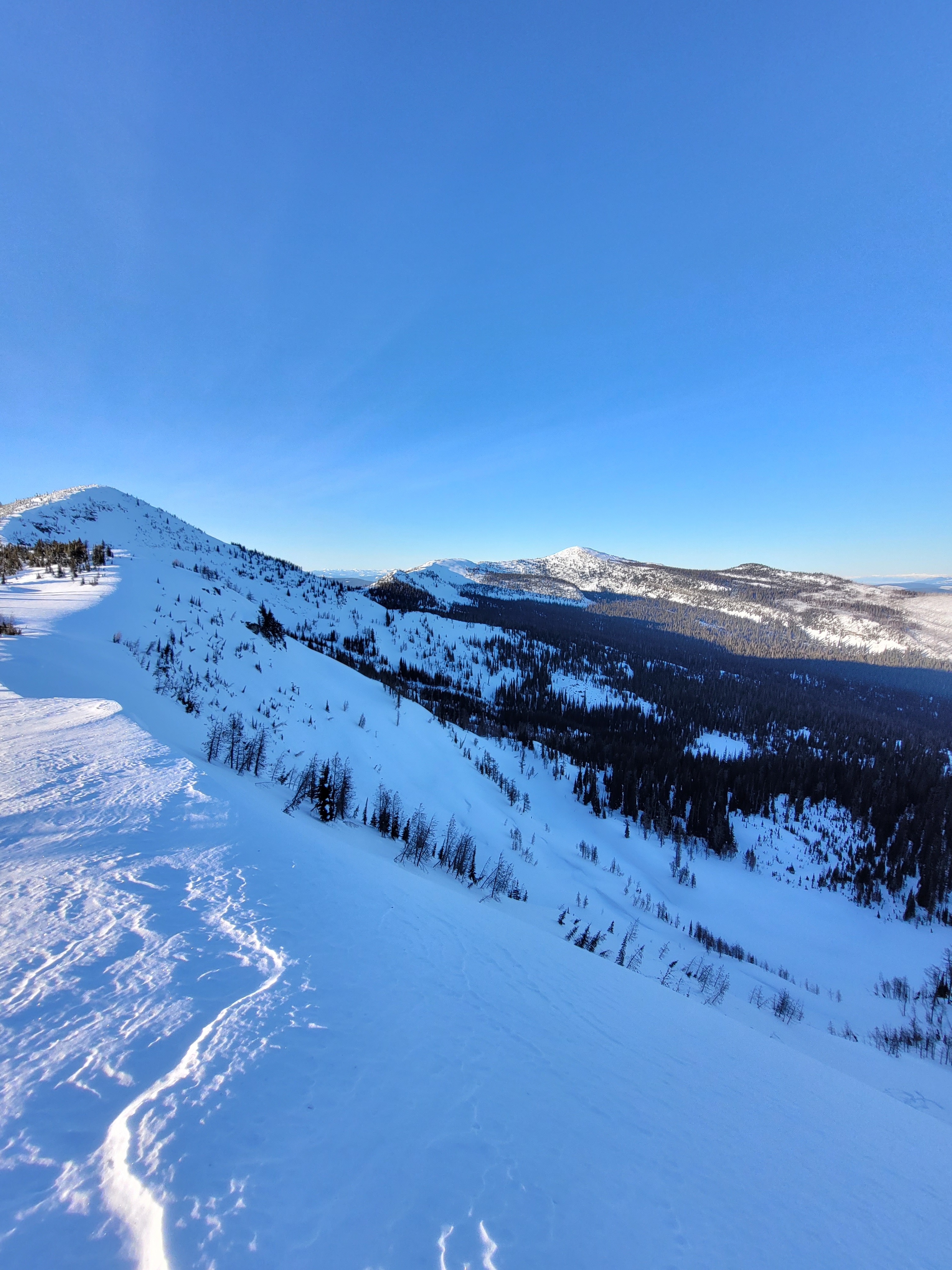
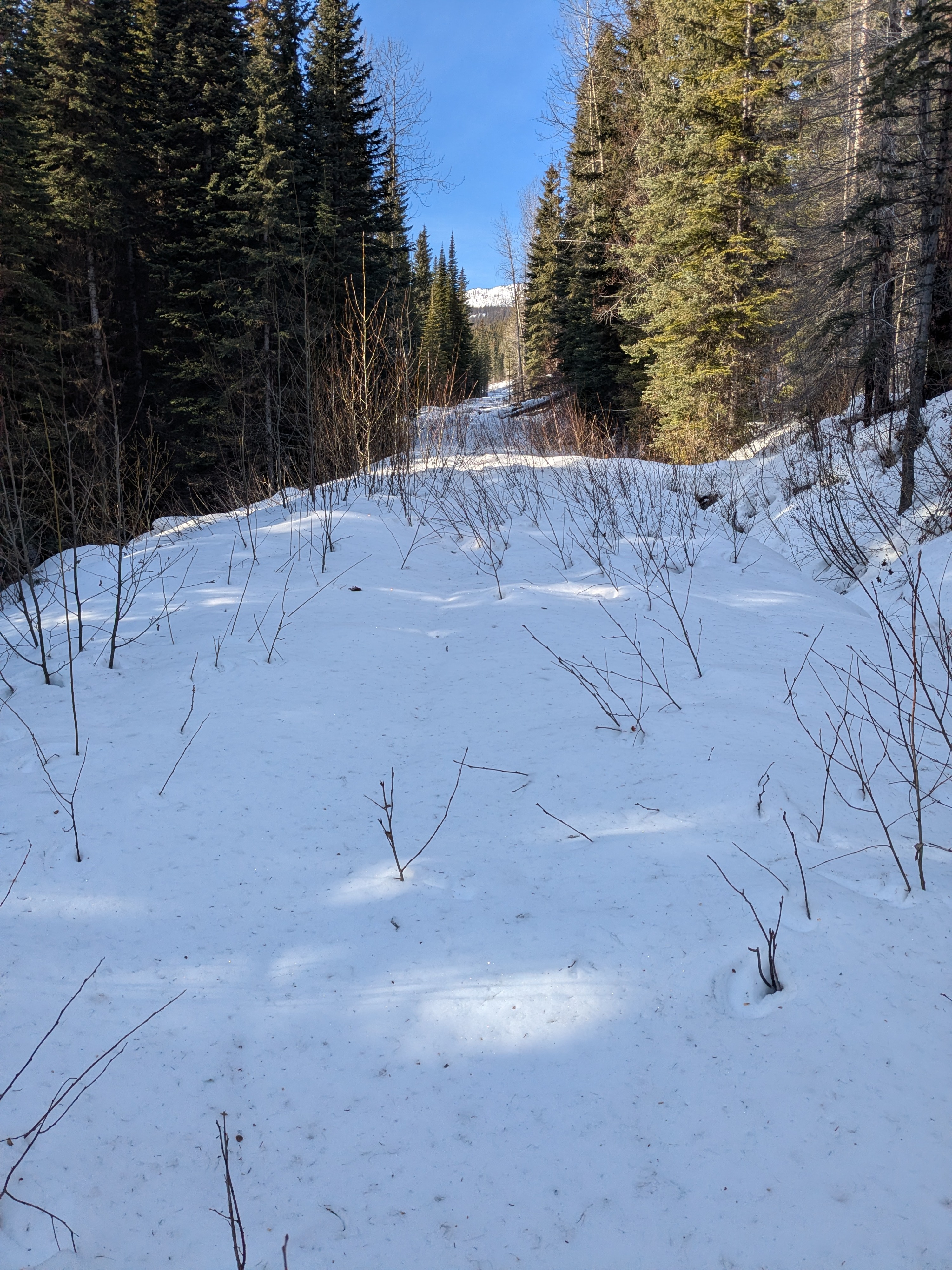
A hard surface crust blankets the landscape across aspects and elevations. This is a thankful gift from rain on January 12 and two days of above freezing temperatures following 10 days of cold and snow. Field observations have been limited recently in the Purcell Mountains, but today's findings suggest this areas has a very similar snowpack structure to our other forecast zones. We observed faint evidence of older avalanche activity in steeper terrain that was similar in size and distribution to what we've seen elsewhere.
Weather
- Air Temp
- 21
- Cloud Cover
- clear
- Wind Loading
- none
- Snow Avail For Transport
- none
Cold and sunny, and light winds. Air temperature on a shady aspect at mid-day was 21 Fahrenheit, and slightly warmer in the sun.
Snowpack
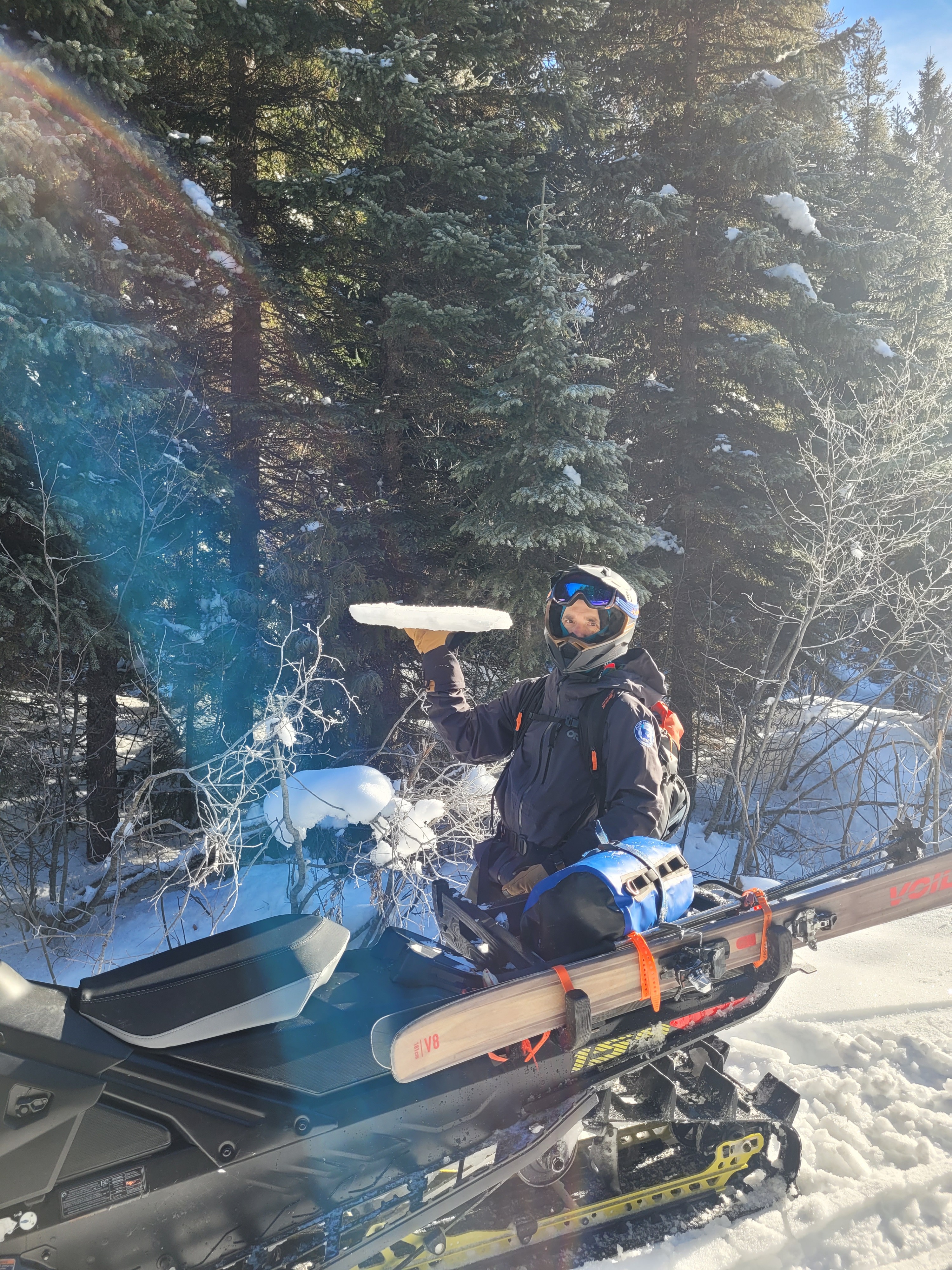
We found a hard surface crust, with some variability in hardness and thickness, present up to our ridgetop elevation high point at 7,200 feet. The surface crust varied between slightly less than 1 cm thick (P- hard) to 4 cm thick (K hard). Ski penetration was negligable and boot penetration ranged 5 to 10 cm. The current refrozen surface provides fast and easy travel uphill, but variable surface supportability while descending slopes. Ski or boot crampons may be a consideration in some areas - especially in steeper more complex terrain. Motorized travel may find similar factors in travel and with possible difficulties maneuvering machines on hard surfaces. Either way, both modes of travel should consider possible consequences of a fall, tumble, or losing your machine if you choose to travel in steeper terrain. Evidence of small wet loose activity was present during the period of above freezing temperatures and rain earlier in the week, but non since we've returned to a more diurnal temperature swing.
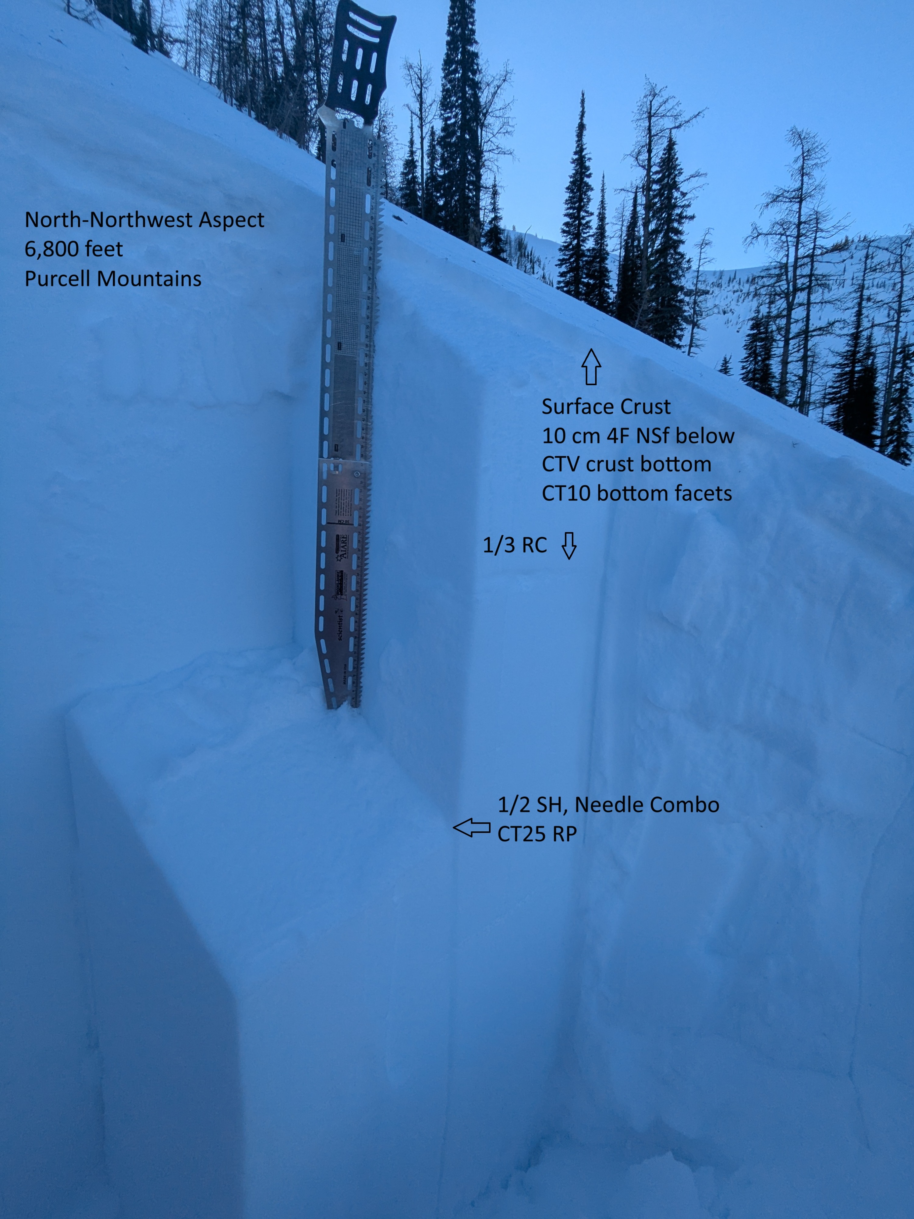
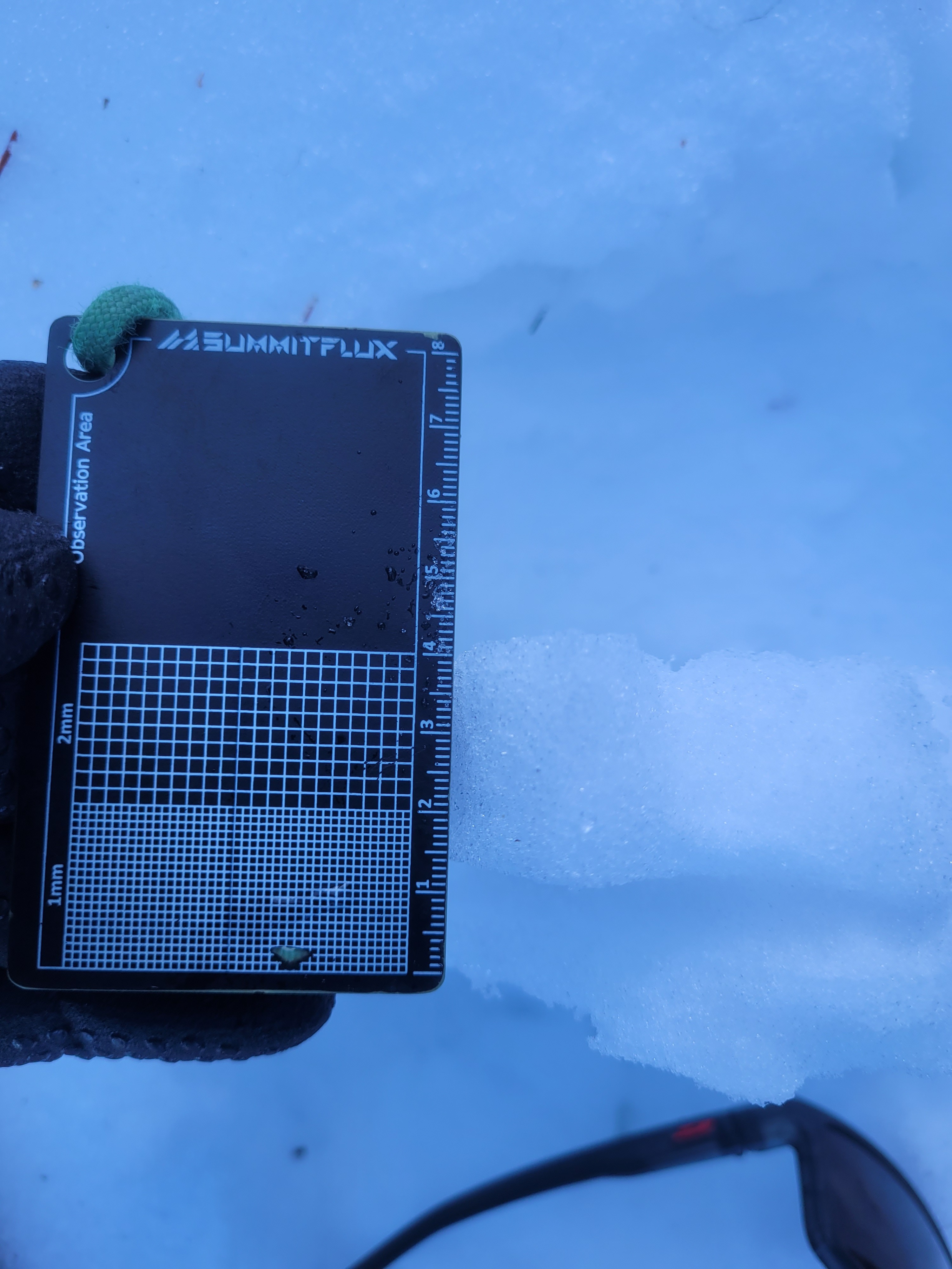
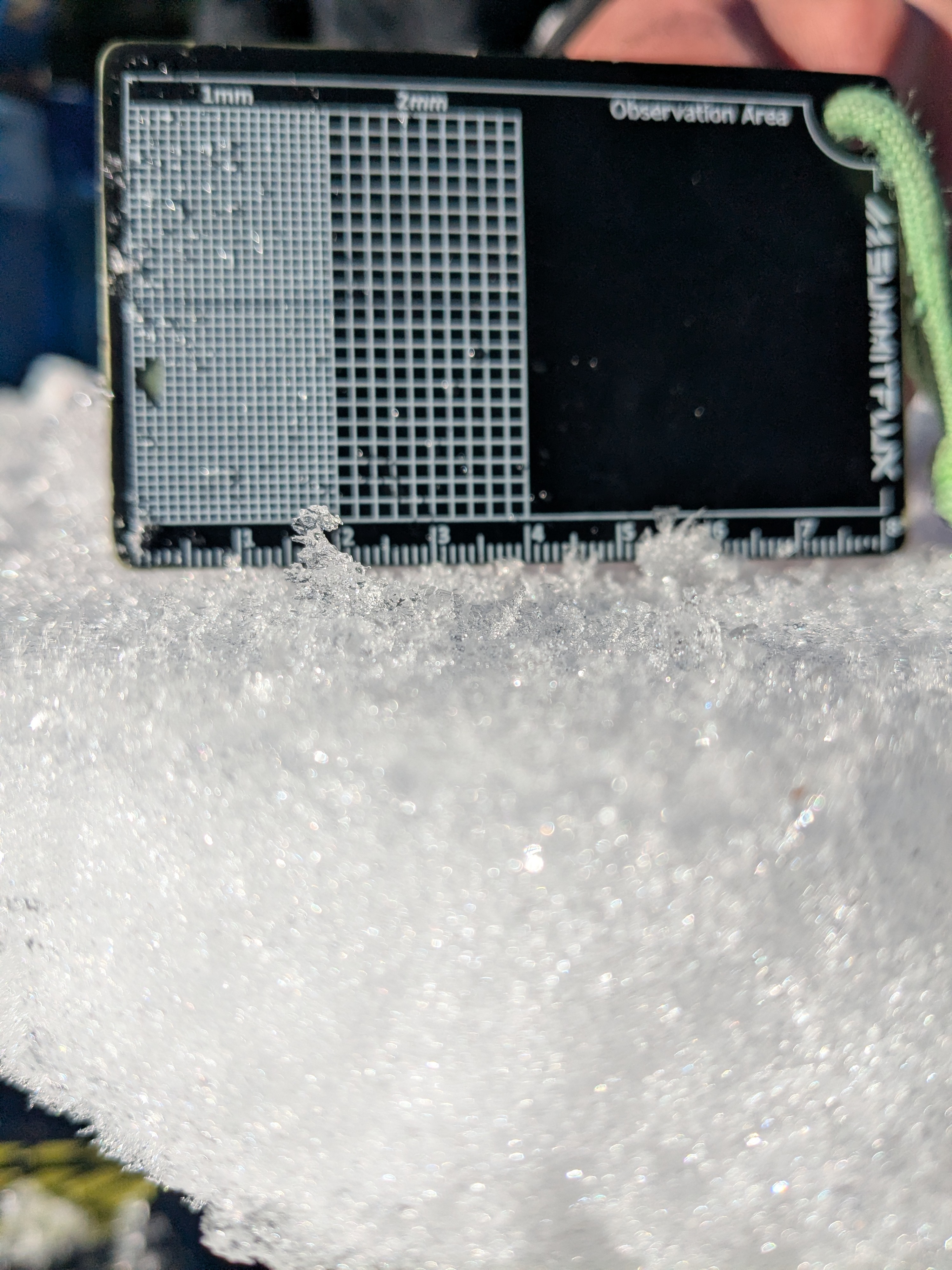
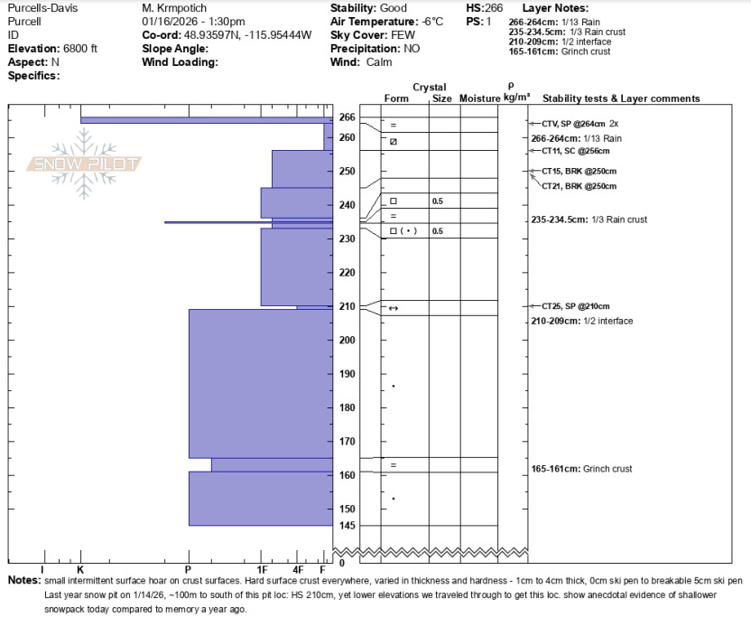
We dug on a north-northwest aspect around 6,800 feet. We observed very easy CT results on isolation of the surface crust and easy to moderate CT results below the crust. Underneath resides a 10 cm thick, 4F layer of near-surface facets. Digging deeper, we found similar weak layer interfaces and grains as other portions of our forecast zones: the thin January 3 rain crust (down 30cm), the 1/2 surface hoar/ needle grains (down 55cm), and the Grinch crust (down 100cm). Except for the easy results in facets below the surface crust, other test results were as expected. The 1/2 surface hoar layer provided a resitant planar failure in CTs but quickly popped off the column when inserting the shovel behind. All in all, upper snowpack layers appeared well-bonded and triggering an avalanche under current conditions seems unlikely. A modest new snow load on top of the rain crust, weaker facets below combination will drive an uptick in avalanche conditions - whenever that load arrives.
Avalanche
Faint evidence on the landscape of older crowns, but not enough to code avalanche data. These slides likely ran at some point in January.