
Quick report
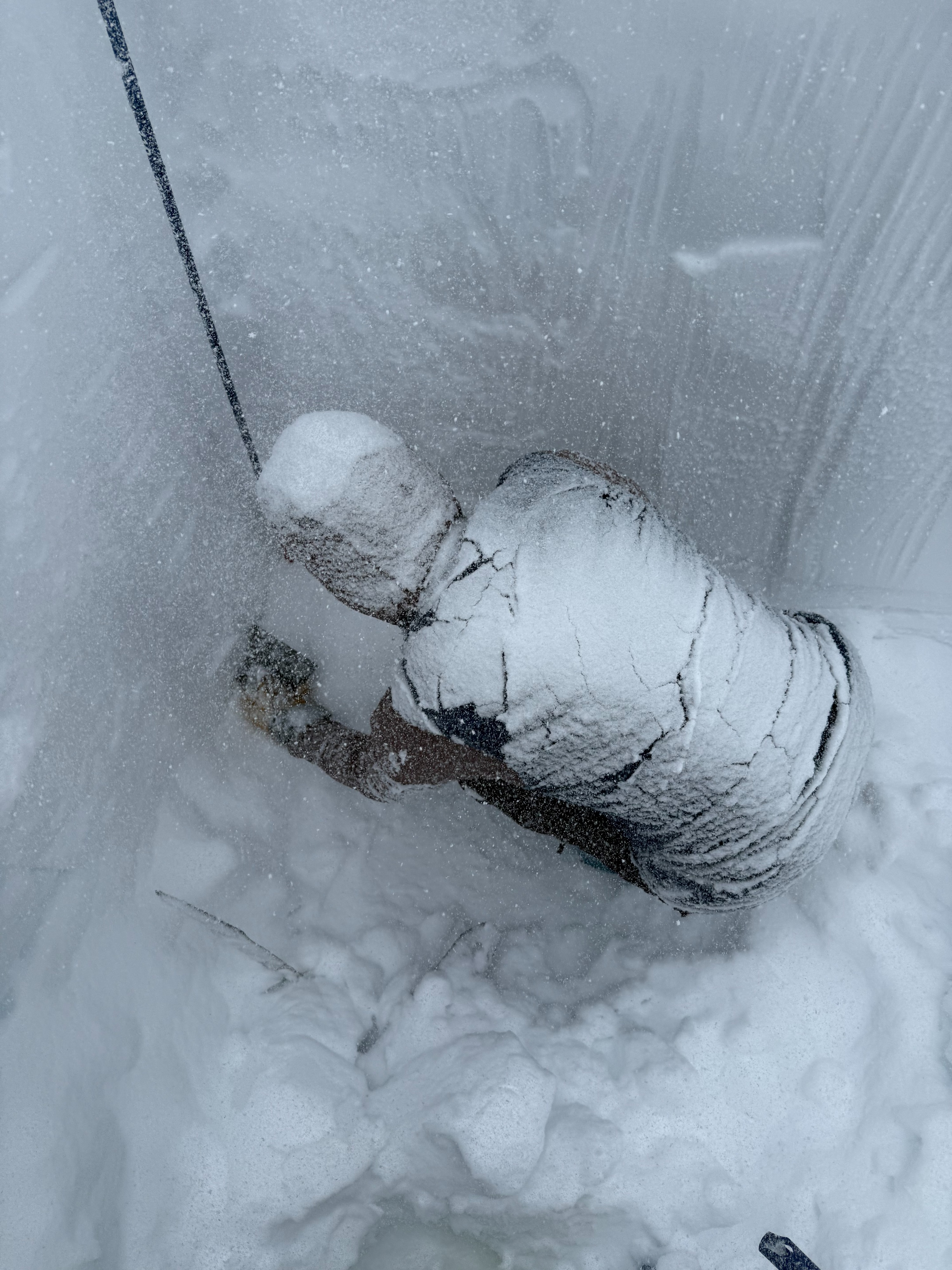
We did not find any signs of instability throughout our brief tour, and I was surprised by how dry the snow was that came in yesterday. While storm totals from yesterday were recorded around 6-8 inches, we toured through closer to 10, at times greater in more protected pockets. We completed our full profile on a due North facing aspect, at 21 degrees and 6600 feet. Air temps sat at 0 degrees celsius, but I would estimate a 5-10 degree wind chill when the wind blew steadily. I opted to choose a location with influence from wind loading to assess for wind affect in snow totals, and found the upper layer of snow to be closer to 10 inches as opposed to 6-8 as recorded in other areas. Our profile found rather right side up conditions aside from the melt freeze layer around 140-150 cm down. The upper 50 cm of snow remains rather unconsolidated, while snow from earlier in this last cycle has packed into a pretty consolidated slab of snow, what I would assume to be the denser snowfall from late last week that was touchy through the weekend. Newer snowfall was fist to 4 finger hardness, moving to one finger hardness before transitioning to pencil hardness until the melt freeze layer. Our compression test results were CM14 PC - while not feeling like a ECT was necessary, we preformed one anyhow and had no propagation. We continued to see progressive compression of the snow with continued taps, within the column we were tapping. Snow was still actively moving and readily available for transport, even below tree line in less protected pockets. I would take caution in areas near or above tree line with heightened wind affect and greater exposure to wind where snow has been allowed to move and compound - the forecast for the day felt especially relevant given our observations.
Weather
- Air Temp
- 32