
Quick report
Very warm conditions today as the high pressure ridge of doom lingers over the mountains. Any superficial refreeze had broken down by the time we arrived around 11am. Wet snow up to our boot tops was present on solar aspects around and below 9,000'. A steady breeze above 9,000’ was helping to keep surfaces cooler than they otherwise would be. North facing slopes are still holding mostly dry snow at this elevation with only the top inch at most becoming wet.
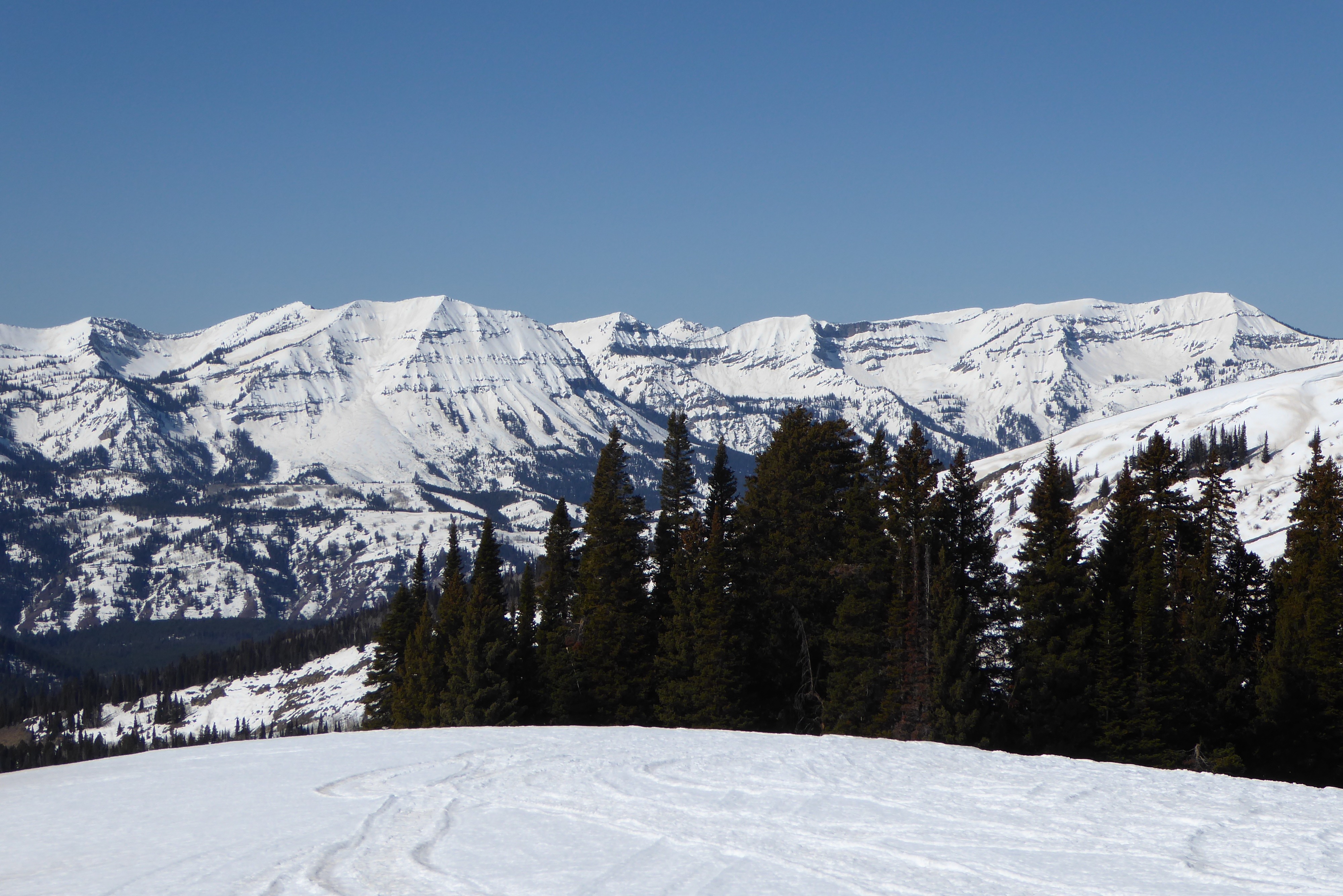
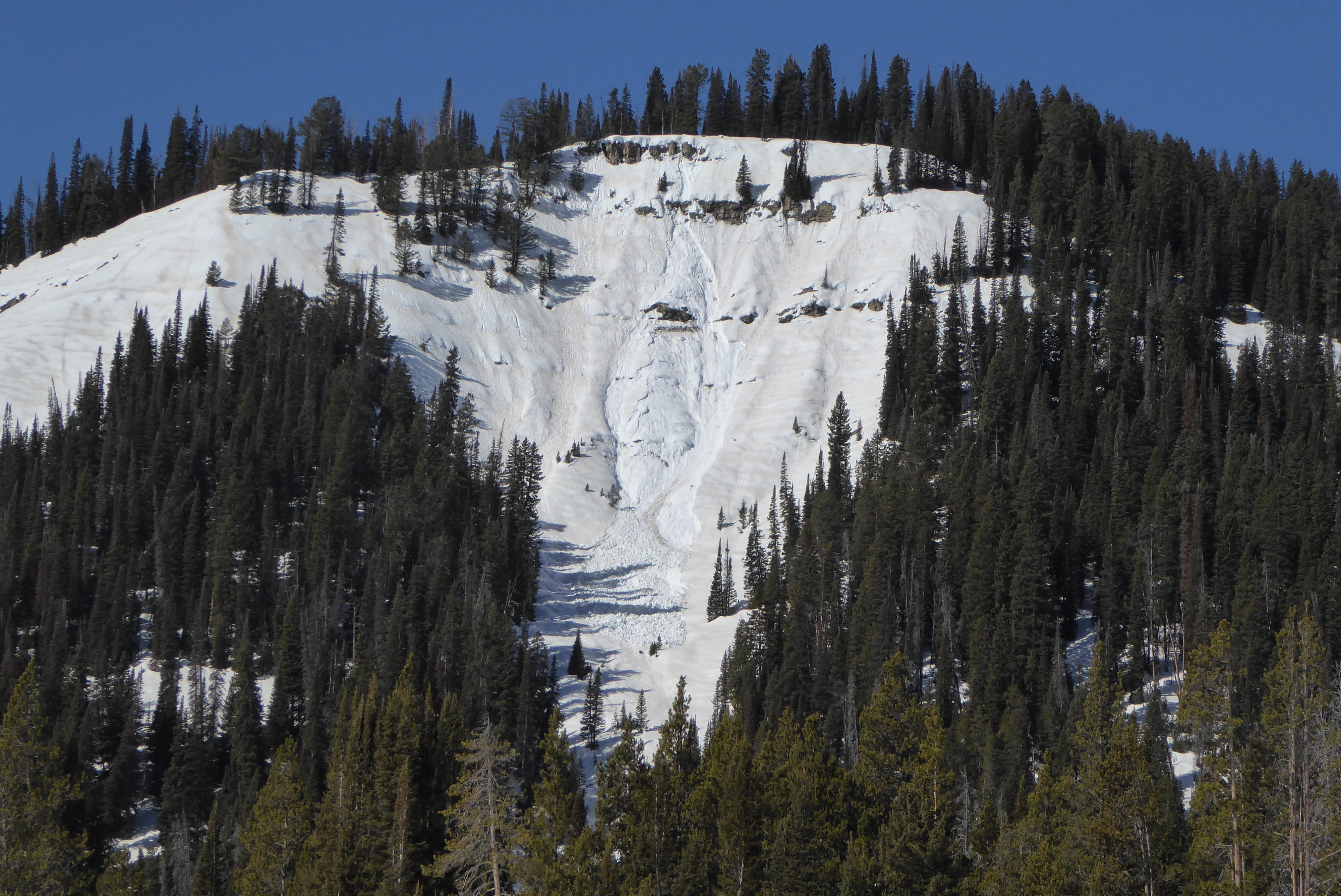
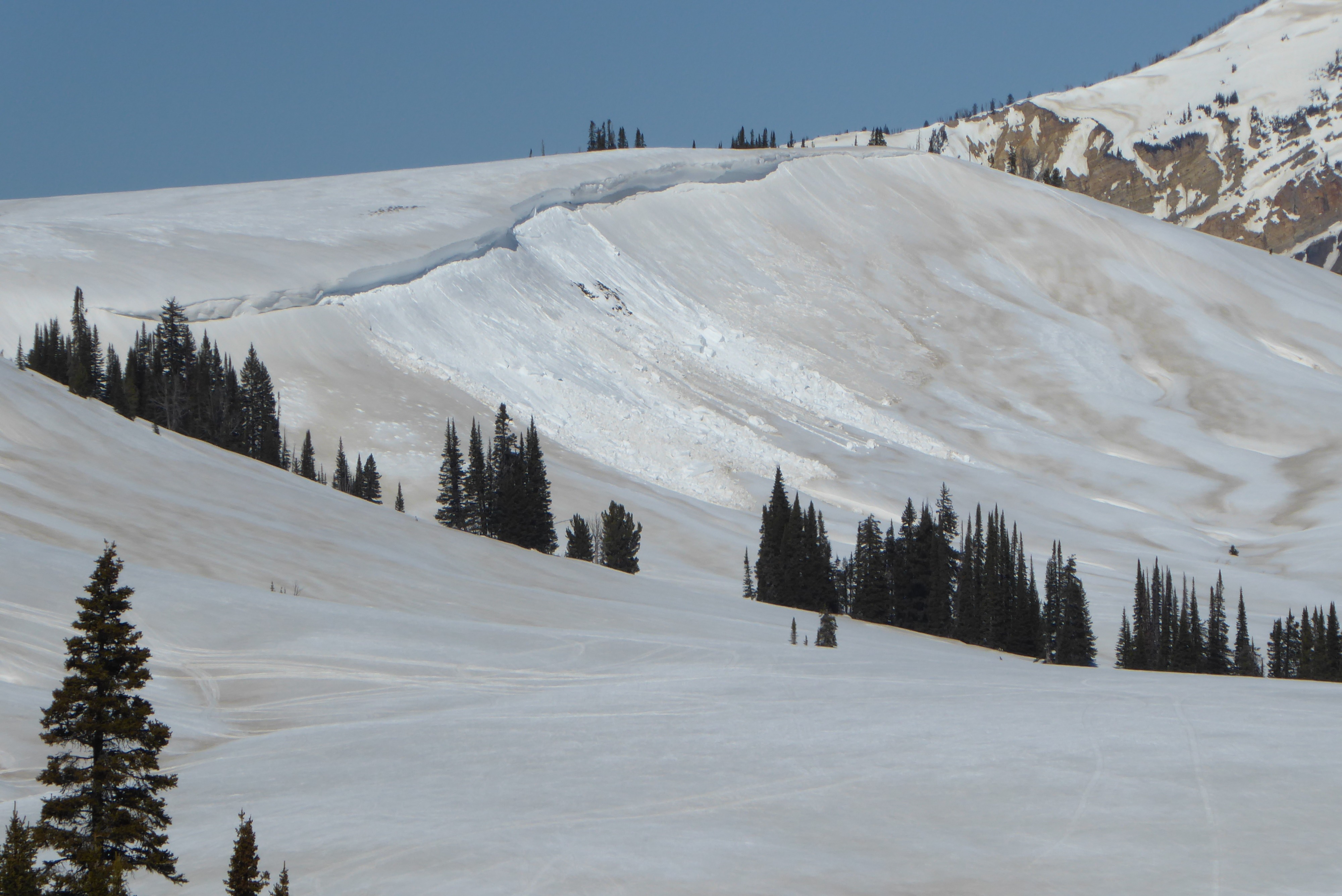
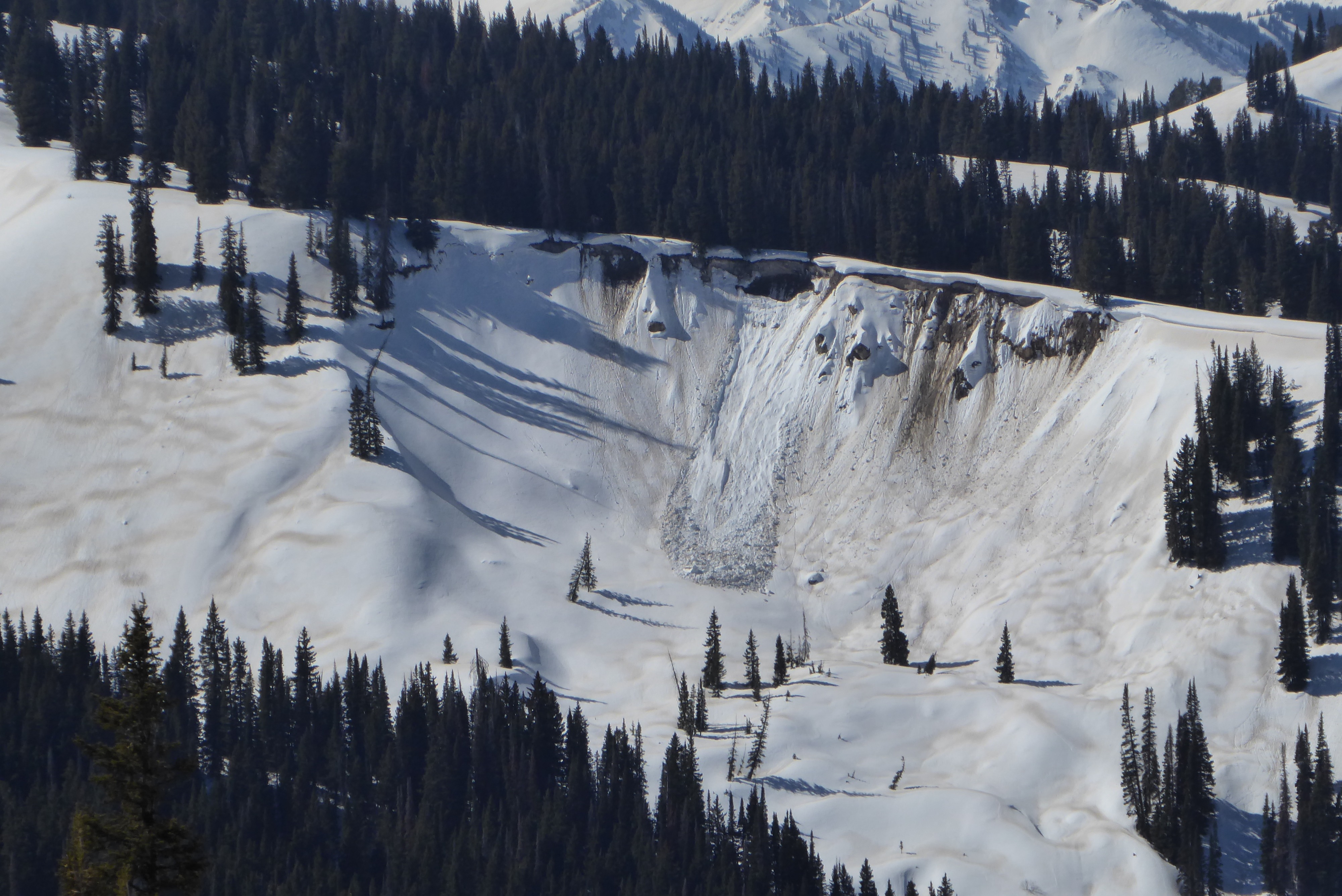
Good visibility allowed us to view a lot of terrain in the Wyoming Range and east side of the Salt Rivers. No wet slab activity was observed as of noon today. We observed one notable wet loose avalanche on an east facing slope at 8,800’ and several cornice falls that entrained wet snow.
Melt water is working its way deeper into the snowpack on solar slopes with each consecutive poor overnight freeze and very warm day. A widespread layer of dust on the surface is also helping to accelerate melt. Determining if/when this area will experience a wet slab cycle is difficult. However, the record breaking warm temperatures for this time of year are a red flag and building some margin into your day to account for the uncertainty is a good call.
Buried weak layers in the top 2-3 feet of the snowpack have gained considerable strength and are shielded by a very strong slab. Stability tests did not produce concerning results.
Weather
- Air Temp
- Downright hot. Near or above 50 degF at 9,000'
- Cloud Cover
- clear
- Wind Loading
- none
- Snow Avail For Transport
- none
Very warm air temperatures. Light to moderate ridgetop winds out of the west at 9,000’.
Snowpack
We dug on a NE facing slope at 9,500’. We found surface hoar from Jan/Feb buried 75cm below the surface. This weak grain has gained strength in the past two weeks. The overlying slab has also become very hard and strong (pencil hardness). Pit tests did not show potential for crack propagation. ECTX