
Quick report
- Cracking
- isolated
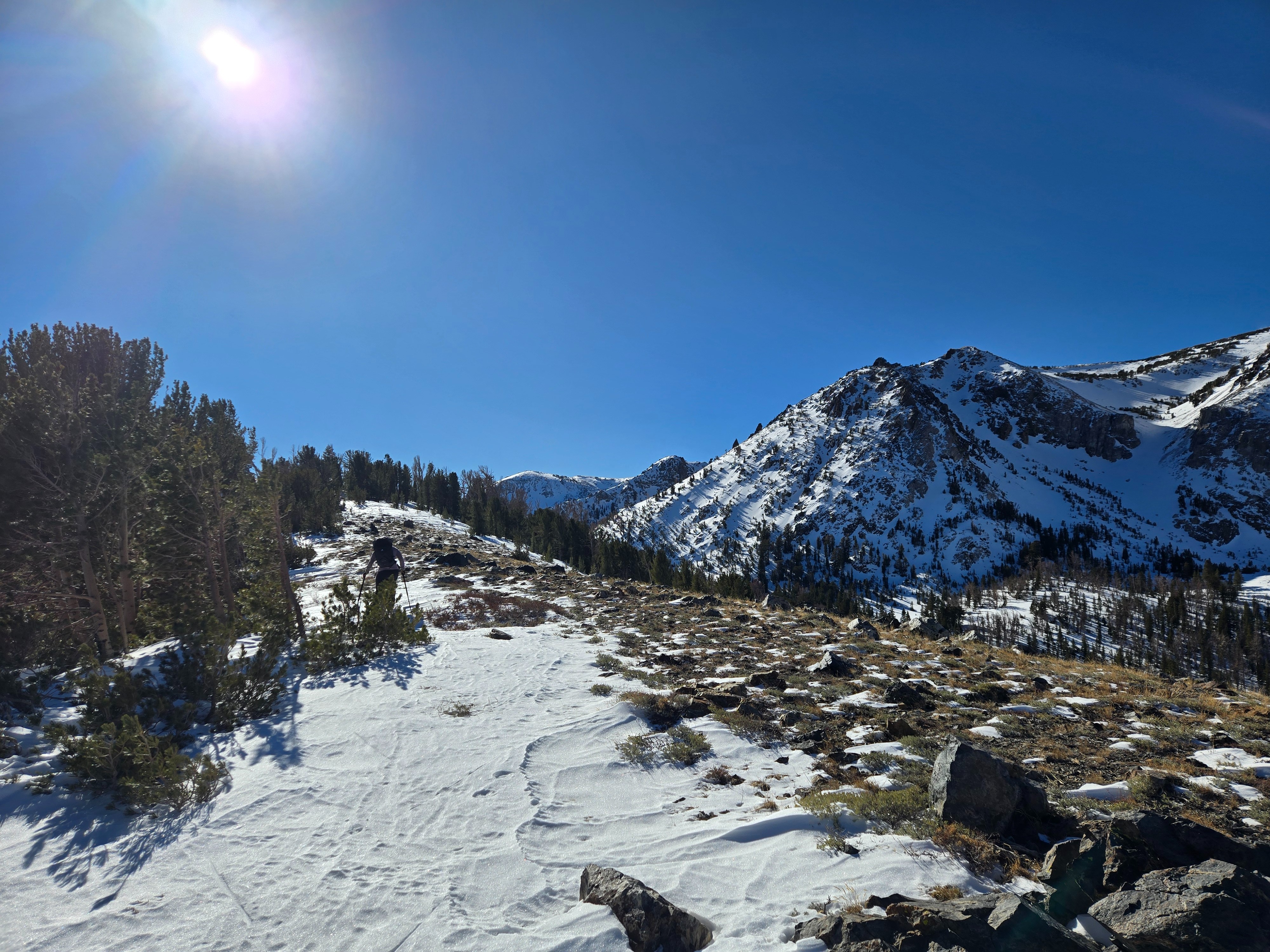
Today, we moved through multiple aspects and elevation bands in the June area to confirm the avalanche forecast.
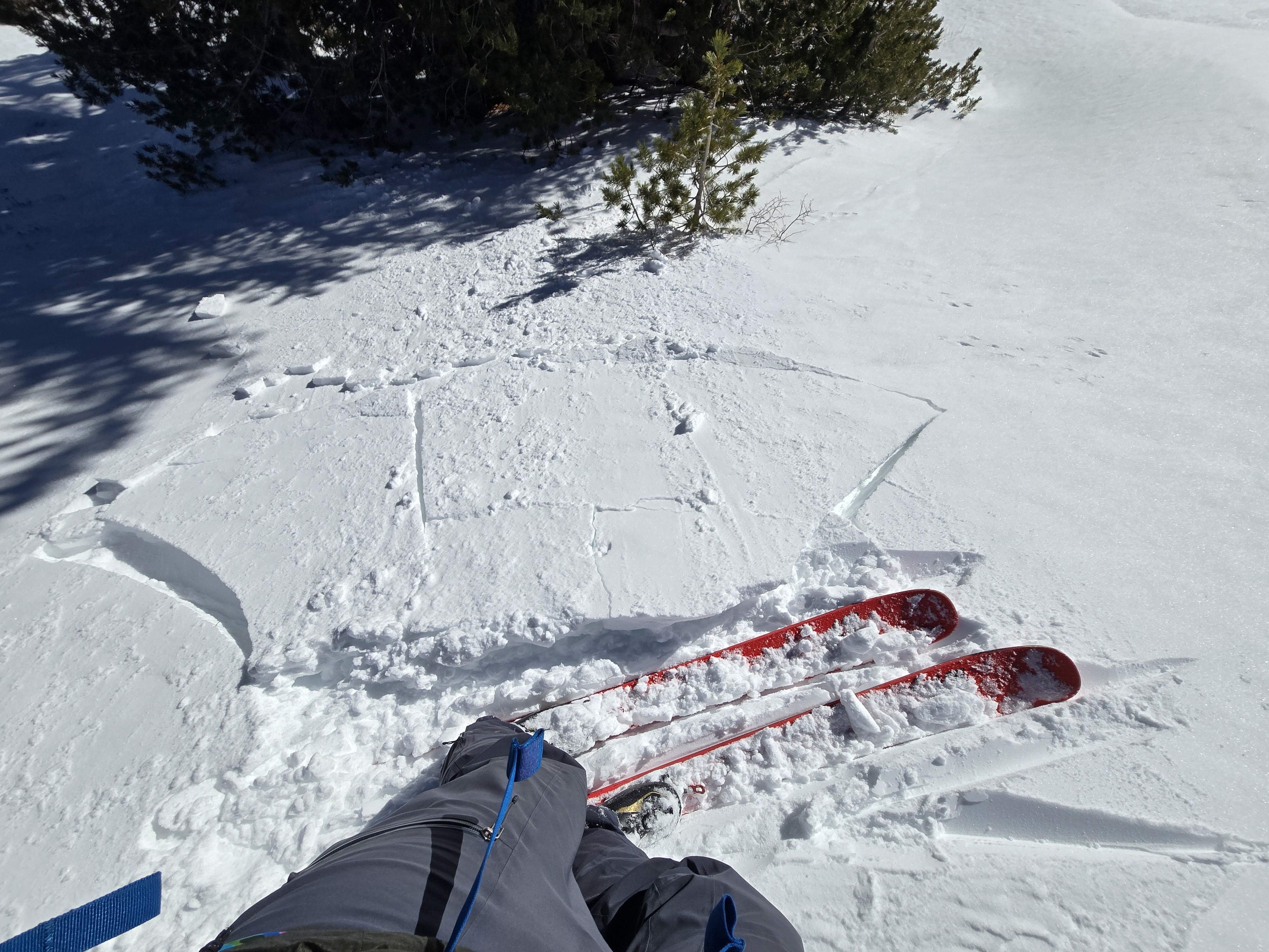
- We experienced very isolated cracking in small wind slabs, which confirms the travel advice from today's low danger rating: wind slabs were not off the table, but they were small and hard to trigger.
- We found that the majority of slopes had been worked over by recent extreme winds.
- Quite weather and warm daytime temps seem to only be further settling the snowpack.
Weather
- Air Temp
- Above Freezing
- Cloud Cover
- few
- Wind Loading
- none
- Recent Snowfall
- 0
- Snow Avail For Transport
- small smounts
It was mostly calm and sunny. A quiet, high pressure Eastside day.
Snowpack
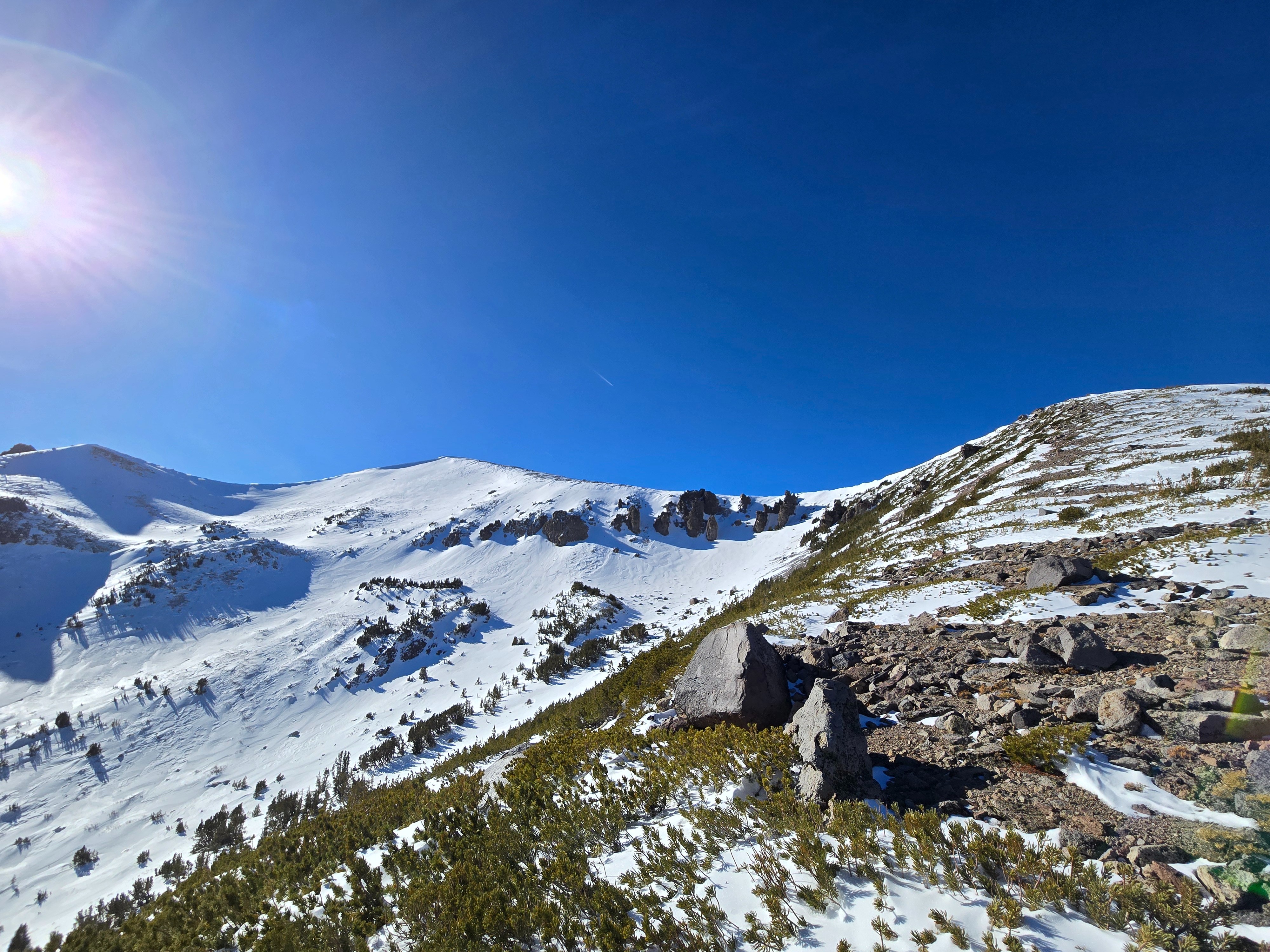
Coverage is limited by high snowlines and multiple extreme wind events over the past week stripping snow from slopes. Following this pattern, snow depth varied across exposed slopes from 0 inches to about 2 feet where we traveled. The most consistent snow coverage was on typically leeward slopes and gullies, and on protected slopes near treeline where snow depth was around 2.5 ft.
Surfaces:
- Windward slopes are scoured to either bare ground or very hard (P-K) wind board.
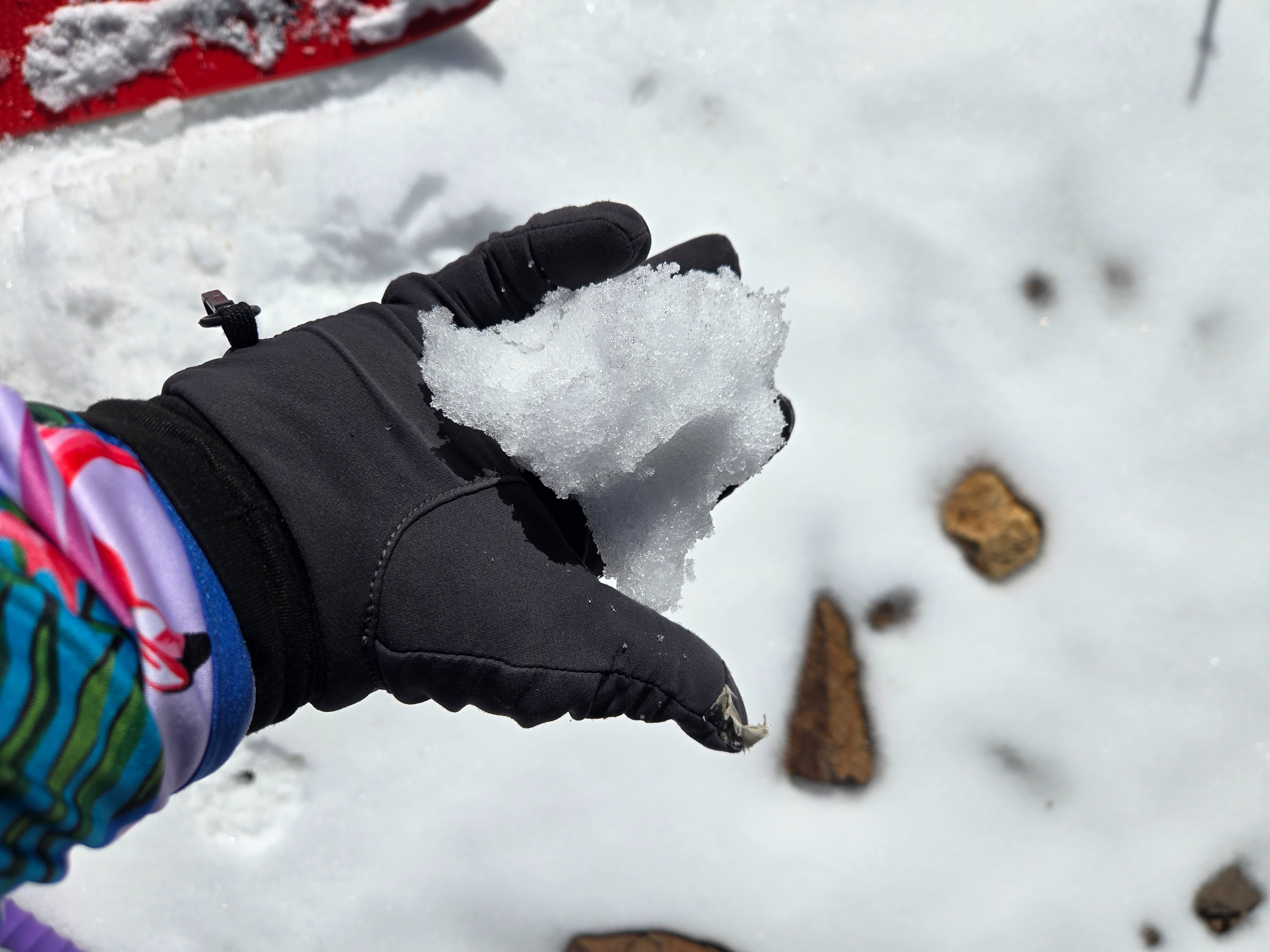
- Solar aspects thawed to melt-freeze snow during the warmest part of the day.
- Near treeline north and east aspects had stubborn to unreactive wind deposits in exposed areas and 2-5 inches of softer, faceting surface snow in protected areas.
- Above treeline exposed slopes are also stripped. Leeward aspects didn't appear to have continuous, consistent wind slabs. Rather, smaller drifts were broken by scoured old crust, wind-sculpeted sastrugi, or exposed rocks.
Structure:
- The wind deposits we found were sitting on a softer (4F) layer of non-persistent fragmented grains. Below that layer was even harder old wind-compacted snow.
- On several of the shaded, northerly slopes where we traveled, we found hard (P) wind board with 1.5-3mm facets underneath.