
Quick report
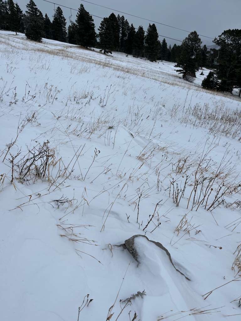
The greates hazard today, as the days before, are still rocks underneath a shallow snowpack. We did not observe signs of instability on the slopes we travelled (mostly low angled and wind sheltered). Certain isolated spots showed wind loading and potential for wind slabs in steep and complex terrain, however, the overall snow depth is still quite shallow in low and mid-elevations. This might change with the snowfall that started during our time in the field.
We did an Extended Column Test with no result (ECTX).Weather
- Air Temp
- 22
- Cloud Cover
- obscured
- Wind Loading
- previous
- Recent Snowfall
- 5
While we were skinning uphill the sky became obscured and new snow started to fall with slowly increasing intensity. The wind was blowing in the base are with gusts up to 25 miles/h. At mid elevations it was generally calmer, but gusts reached up to 40 miles/h over at Schlasman's. When the snow started falling, the wind calmed down.
Snowpack
Our pit profile at 7900 ft does not show signs of a developing persistent weak layer. The old snow from October has formed a 17 cm thick melt-freeze crust mix. The new snow above is soft, when it is not affected by the wind.