
Quick report
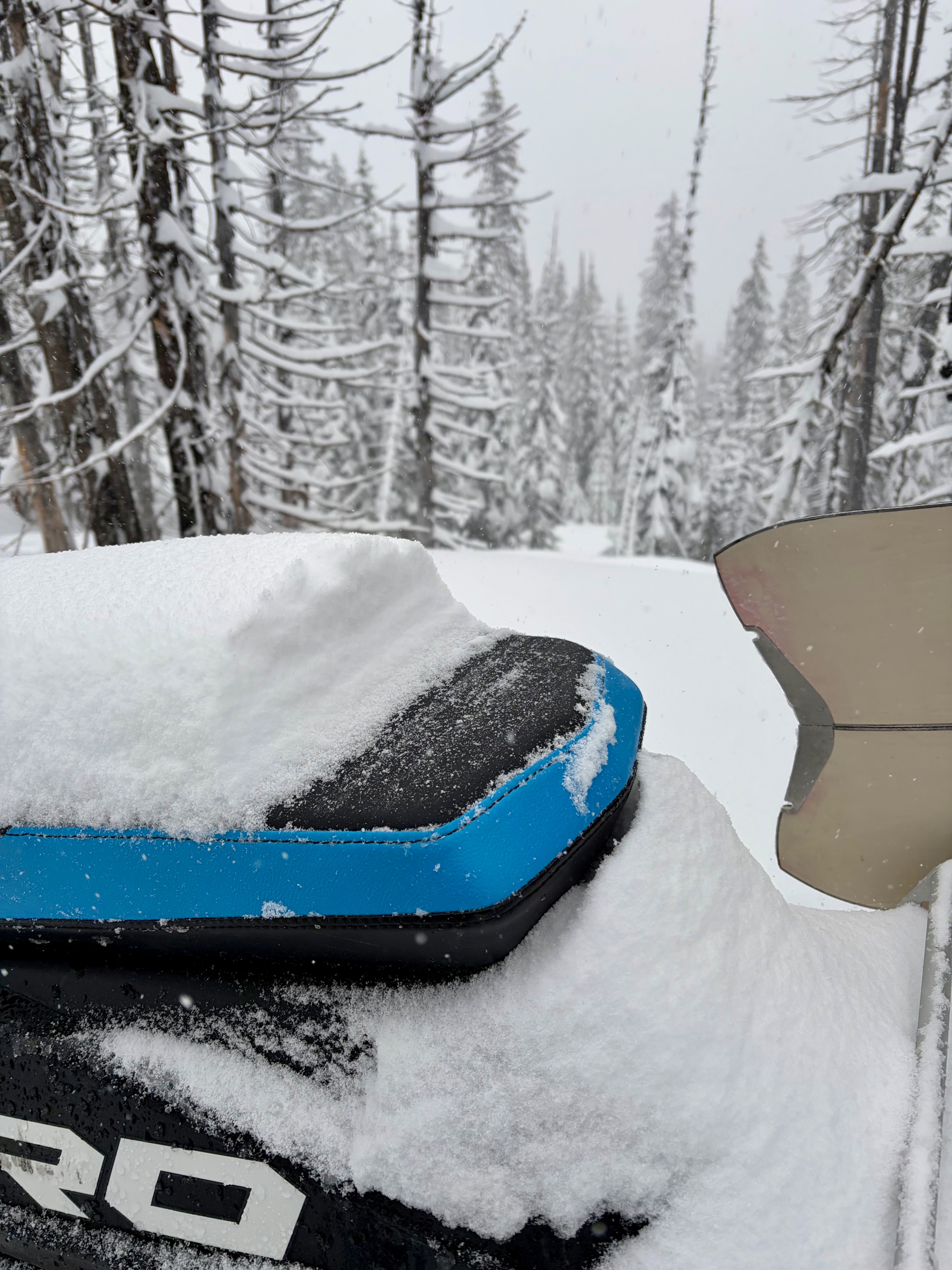
Josh and I snowmobiled/toured to Mt. Marston LO today to assess recent wind loading, storm accumulations, and get an overall idea of the snowpack in the Northern Whitefish Range. No obvious signs of instability or recent avalanche activity observed in the limited visibility we had. There was about 6-8" of new snow resting on a thin crust from the warmup Thursday into Friday. Winds were virtually non-existent until about 3 pm, and as such, we didn't find any evidence of fresh wind slab; the surface snow was largely cohesionless. Substantial snow transport began upon our exit from the upper elevations. Riding/ski quality above about 6000' was excellent.
•We experienced snowfall rates of .5"/hour during the AM hours, which balloned to 2"/hour for two hours in the early afternoon. Around 3pm, a cold front passage caused snowfall rates to slow considerably as SW winds increased (15-35mph), especially along ridgeline.
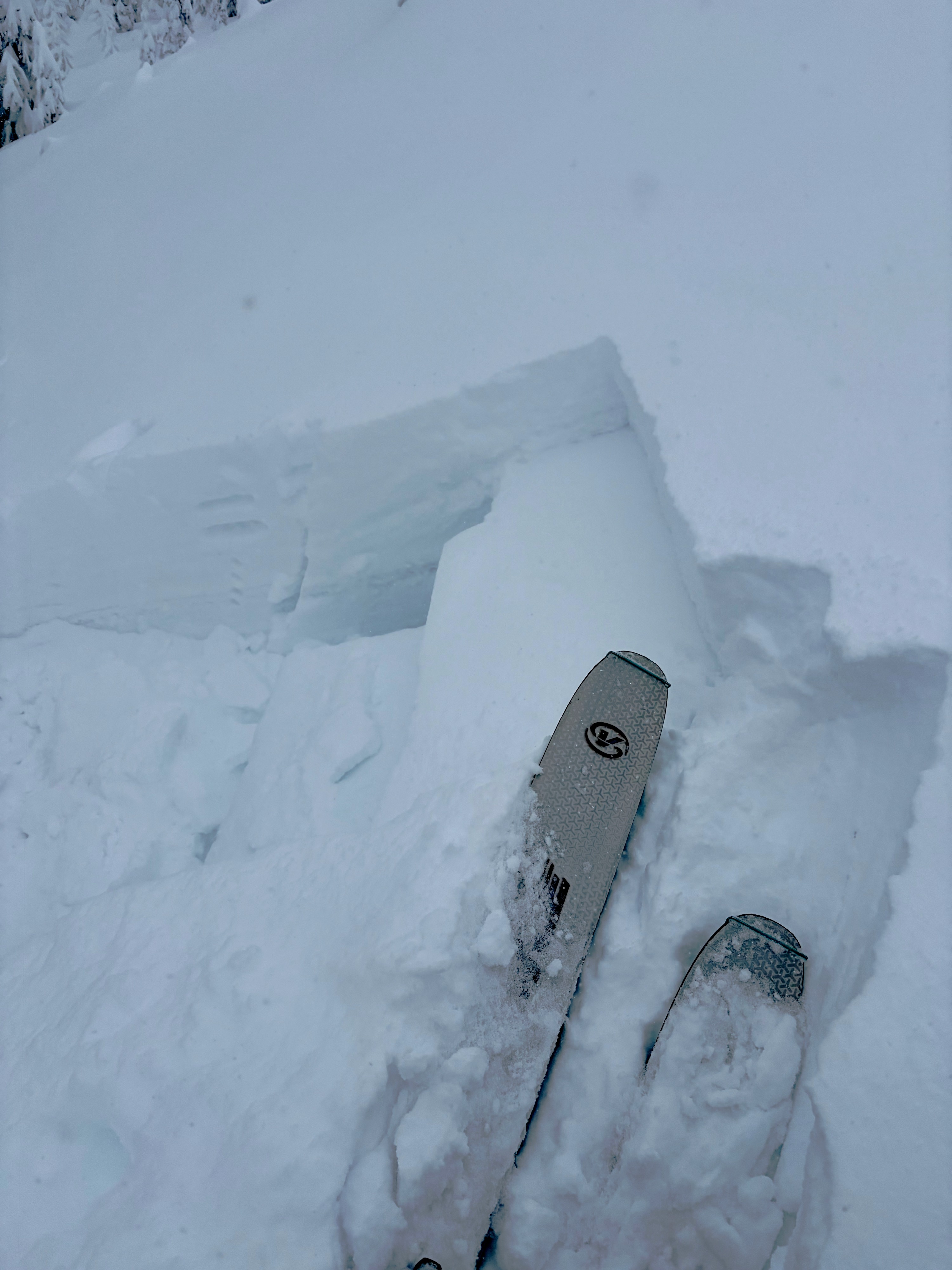
•Some cracking was observed underfoot on leeward aspects (N/E), but very minimal and within the upper 6-10" of the snowpack on a slight density change (see photo).
•The Mt. Marston road had thin snow coverage at low elevations that improved at middle elevations around 5200'. Recent blowdown was consistent for 5-7 miles; big thank you to the good people that cleared the road for snowmobile traffic after the wind storm.
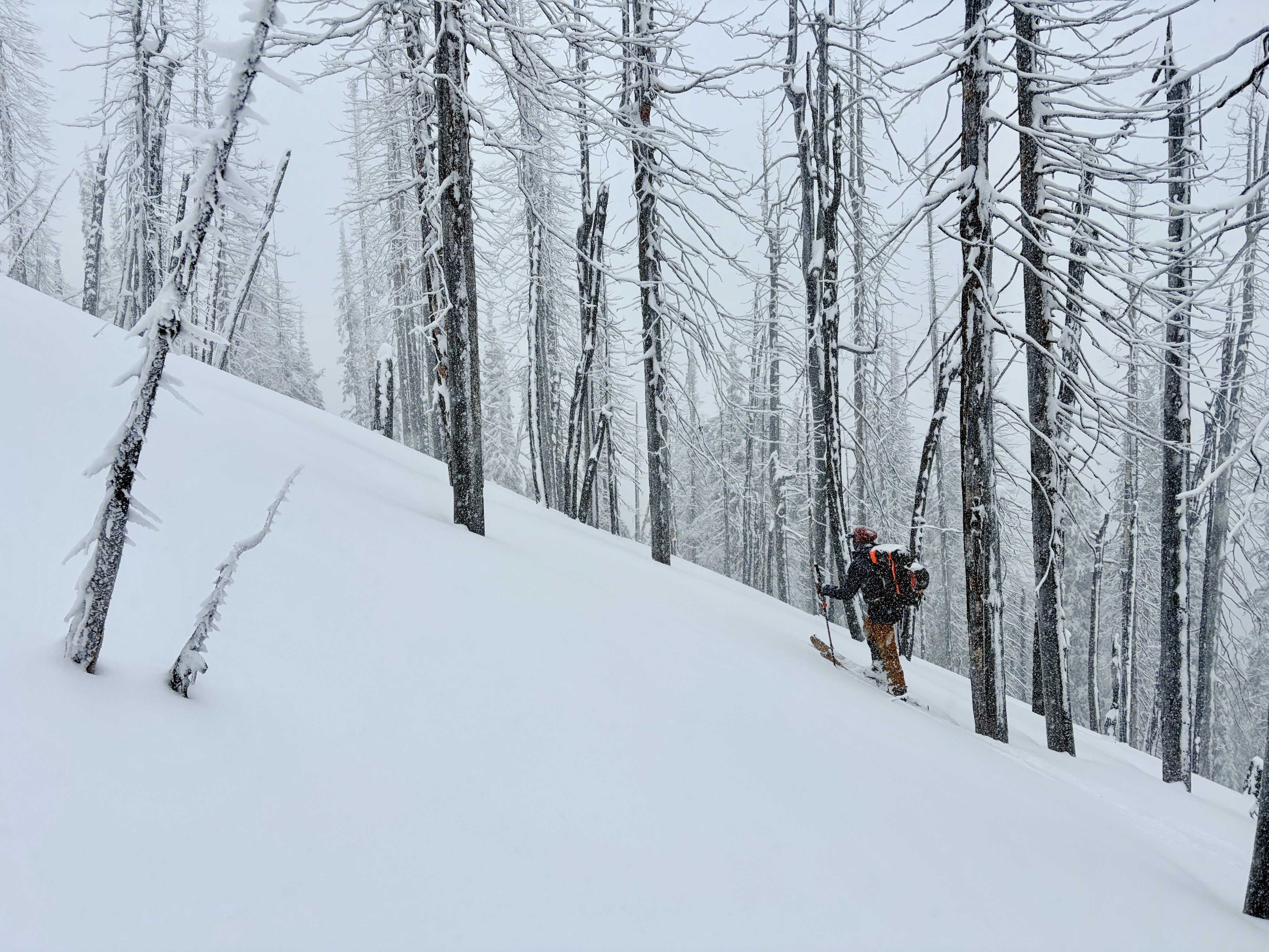
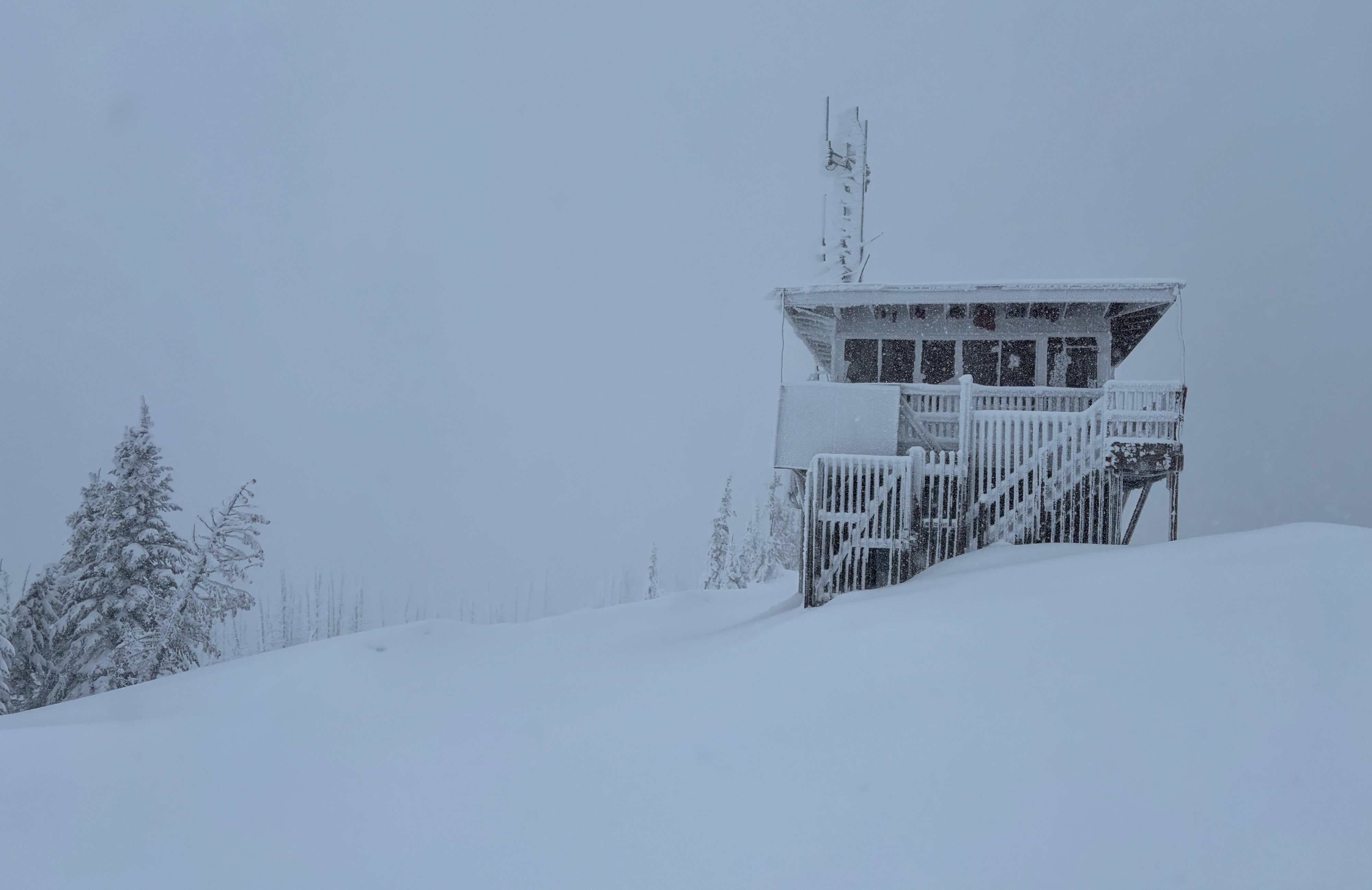
•We skinned from 6800-7350' to Mt Marson L.O. on a NE aspect in low angle, leeward terrain.
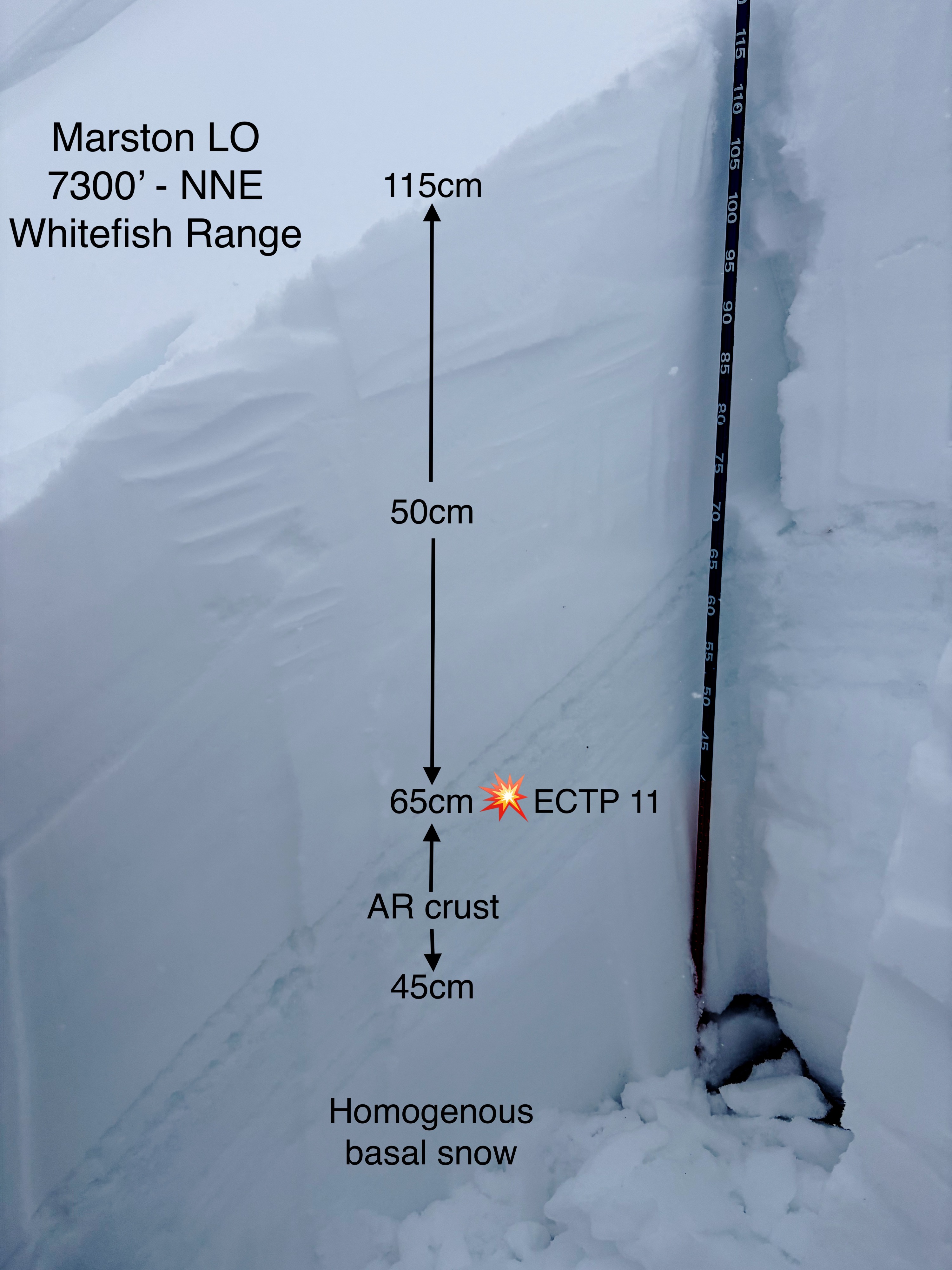
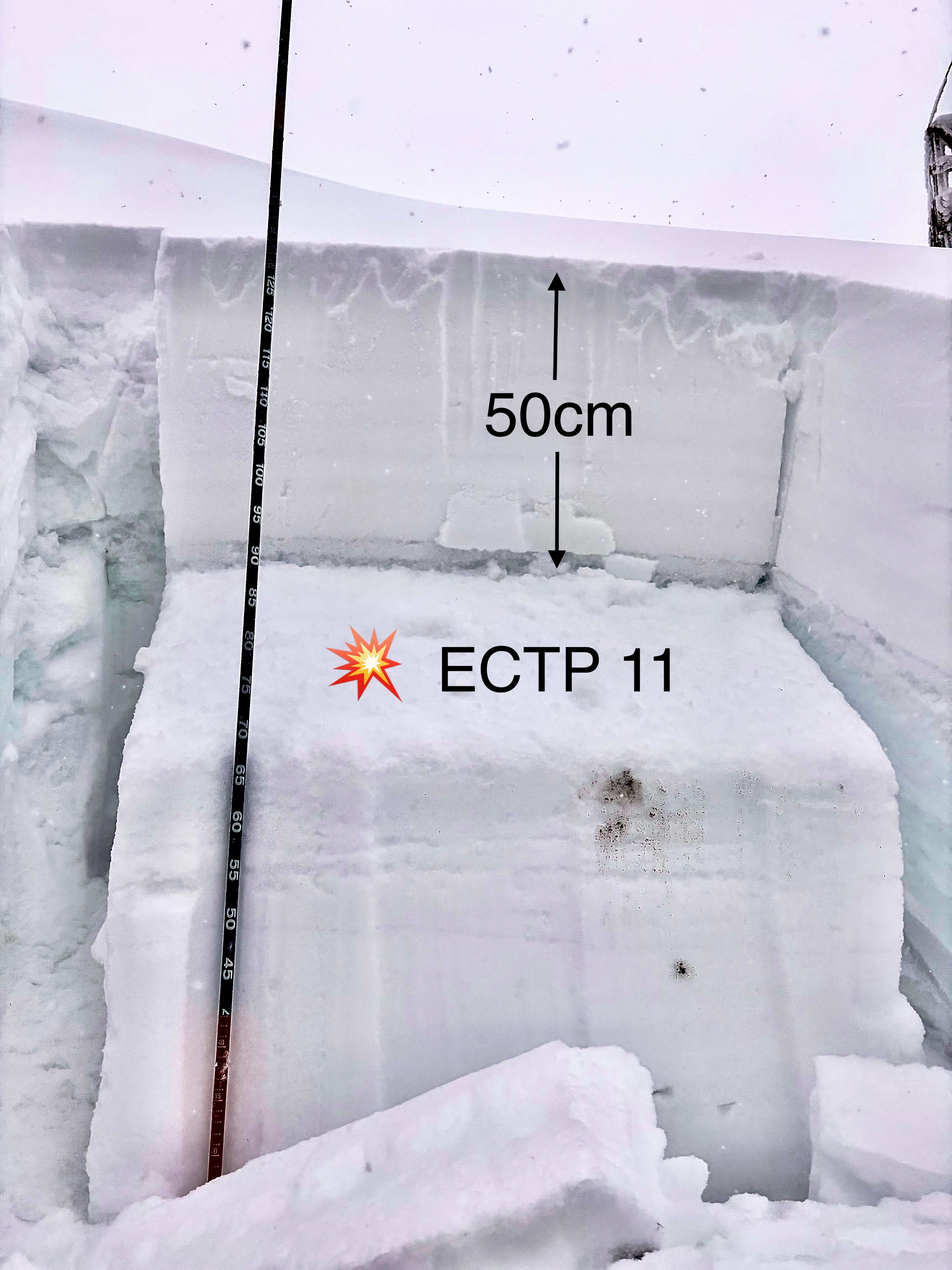
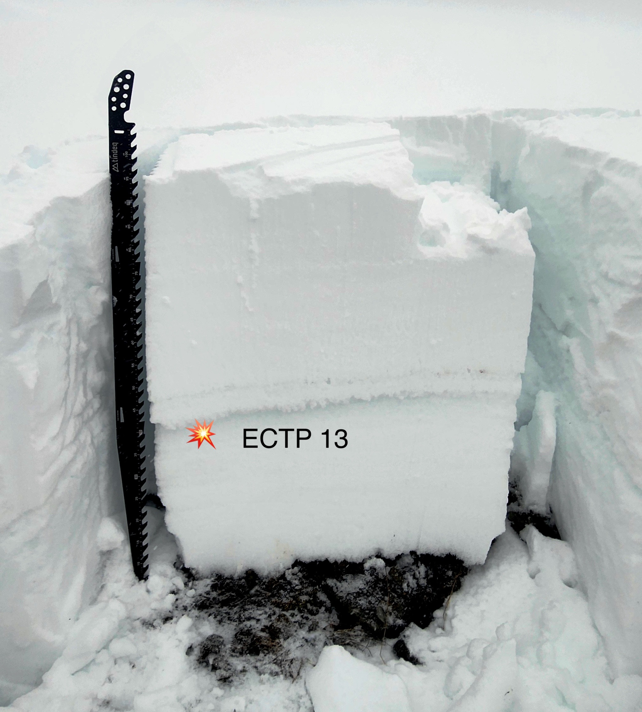
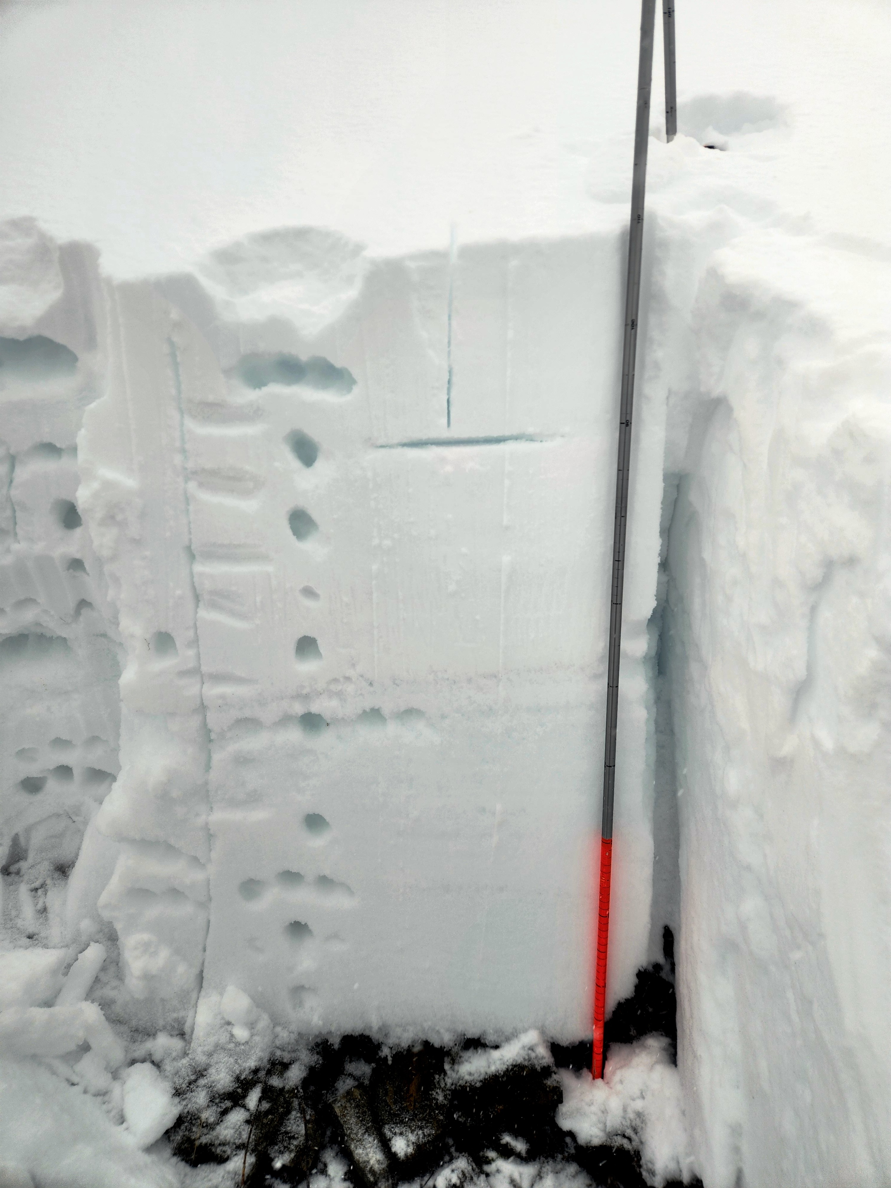
•Extended column tests in two locations at upper elevation leewards (7300' - NNE/NE) produced multiple propagating results on faceted crystals within the "AR Crust Complex", down ~50 cm from the surface. See Snowpack section for more details.
•Quality, consistent riding was found at upper elevation, sheltered/leeward aspects (E) in low angle terrain (<35*).
Take home message...The structure of the AR crust(s) vary with elevation, growing evermore complex the higher you go. In the Northern Whitefish Range at 7300', our ECTs failed with moderate force at upper elevations near the AR crust interface. Safe, quality riding exists in sheltered, low angle terrrain at middle-to-upper elevations in most of the forecast area.
Weather
- Cloud Cover
- overcast
- Wind Loading
- light
- Recent Snowfall
- 20-25
- Snow Avail For Transport
- large amounts
Moderate snowfall rates during the AM hours at all elevations, increased to heavy (S-5 at peak) for a few hours in the early afternoon. Cold front passage around 1400 with snowfall rates decreasing with briefly partly sunny skies near Stryker.
Snowpack
Ski pen down to thin crust ~20 cm.
HST is right-side-up, and very low density on the surface.
Two snow pits above 7300' on a northeast aspect - 38 degree slope angle - previously wind loaded.
HS 110 and HS 140
Multiple propagating results on faceted crystals within the AR Crust Complex. See snow pilot pit image below (results from both pits are in the single snow pilot image).