
Quick report
A few inches of wet snow fell on the road during the Tuesday storm. We observed a melt-freeze crust and the snow was moist, changing to dry above 1800'. In sheltered areas at treeline elevations 12-14 inches of new snow fell over the past 24 hours. Above the treeline, snow depth varies with scouring along ridges and deeper pockets in leeward terrain. We dug a snowpit on Magnum at 2100' on a SW aspect to assess how the new snow was settling, we did not produce any propagating results in our snowpit tests and found generally right-side-up soft snow. We continued to our high point of 3000' and enjoyed our turns on the way out.
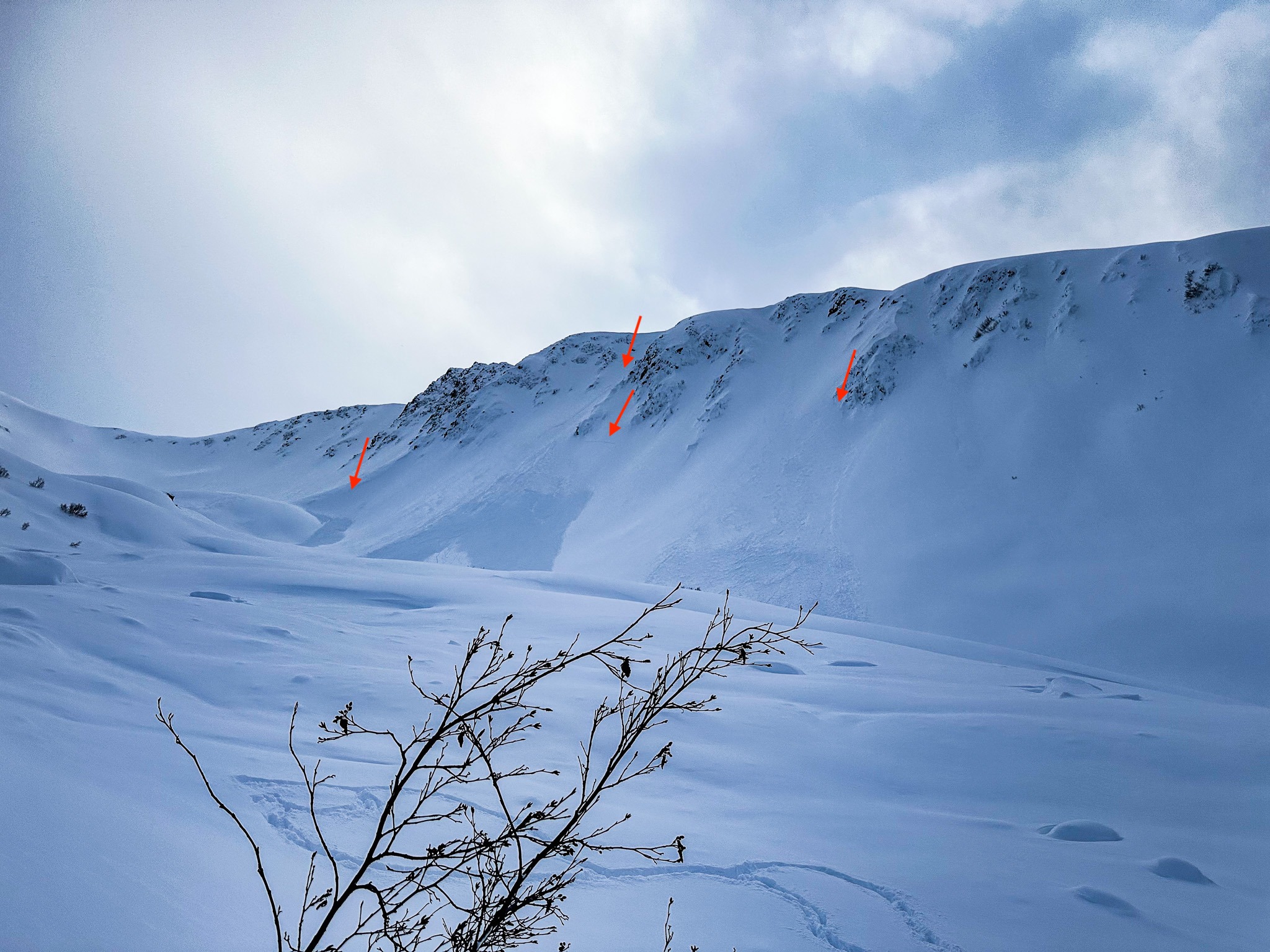
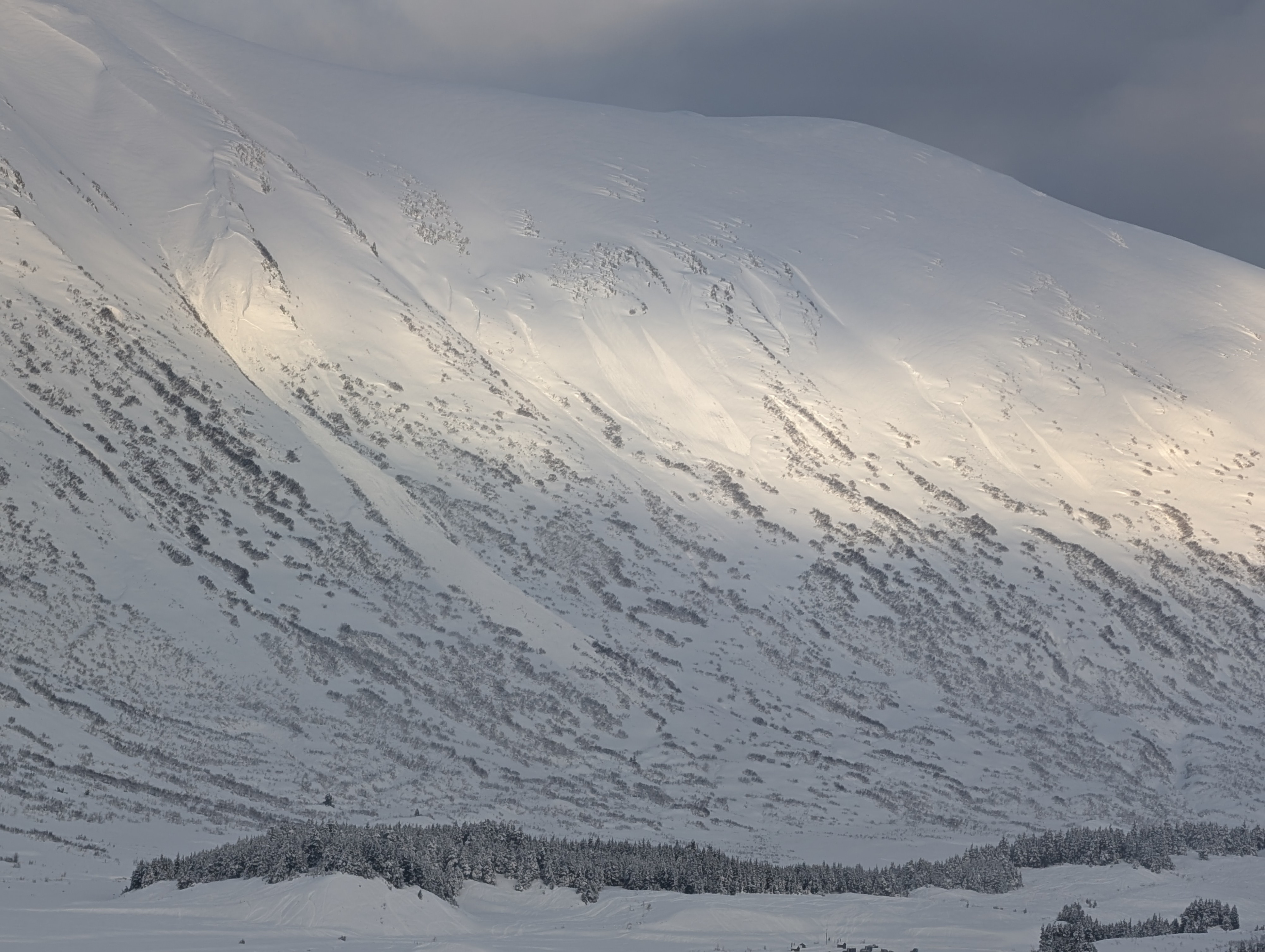
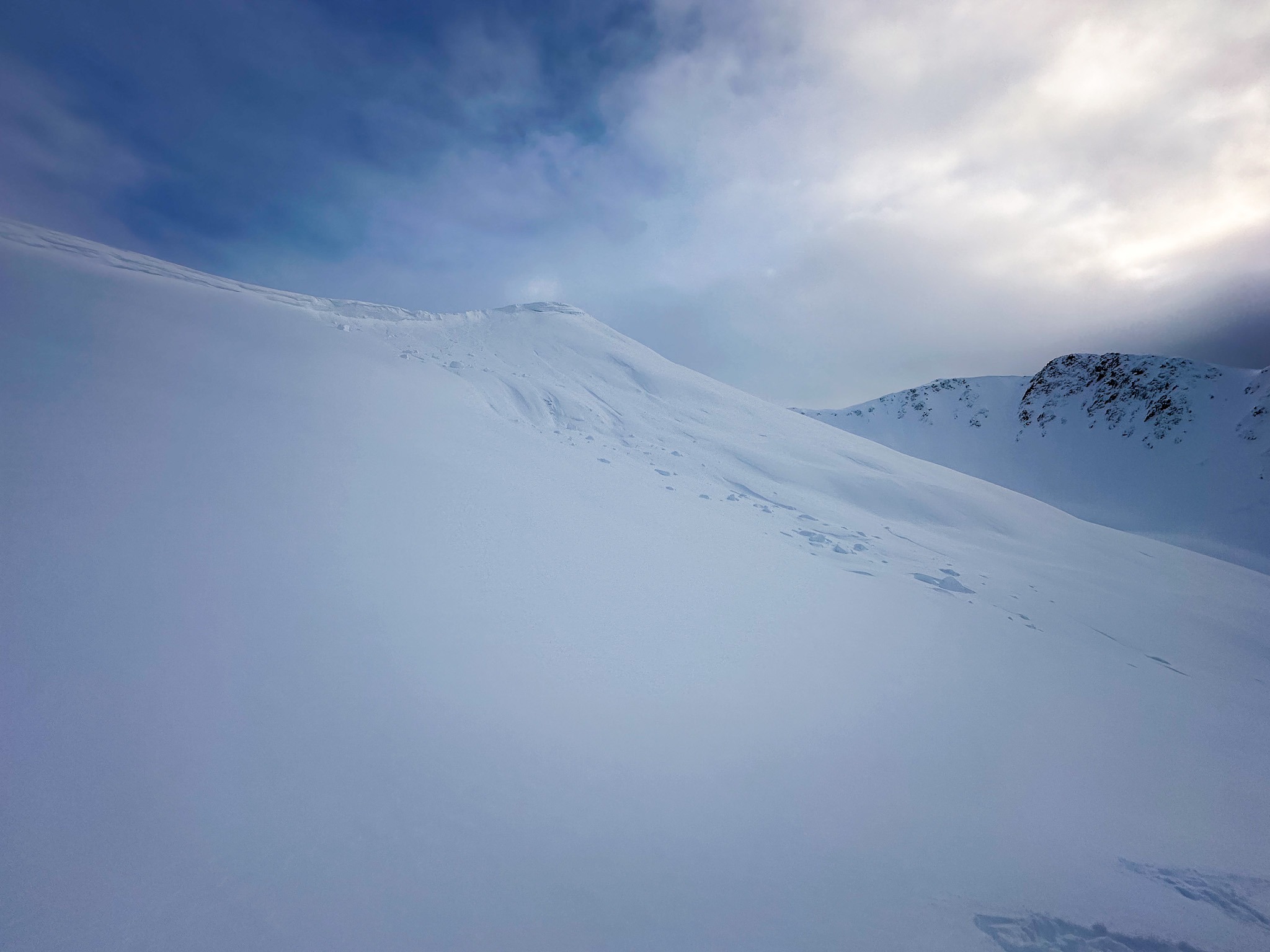
On a test slope, a member of our party was able to trigger a storm slab beneath a leeward feature. We saw evidence of recent avalanches on the north face of Cornbiscuit that released during the most recent storm which began on Tuesday and tapered off late last night.Weather
- Cloud Cover
- broken
- Wind Loading
- none
- Rain Elevation
- 1000
- Recent Snowfall
- 30
- Snow Avail For Transport
- moderate amounts
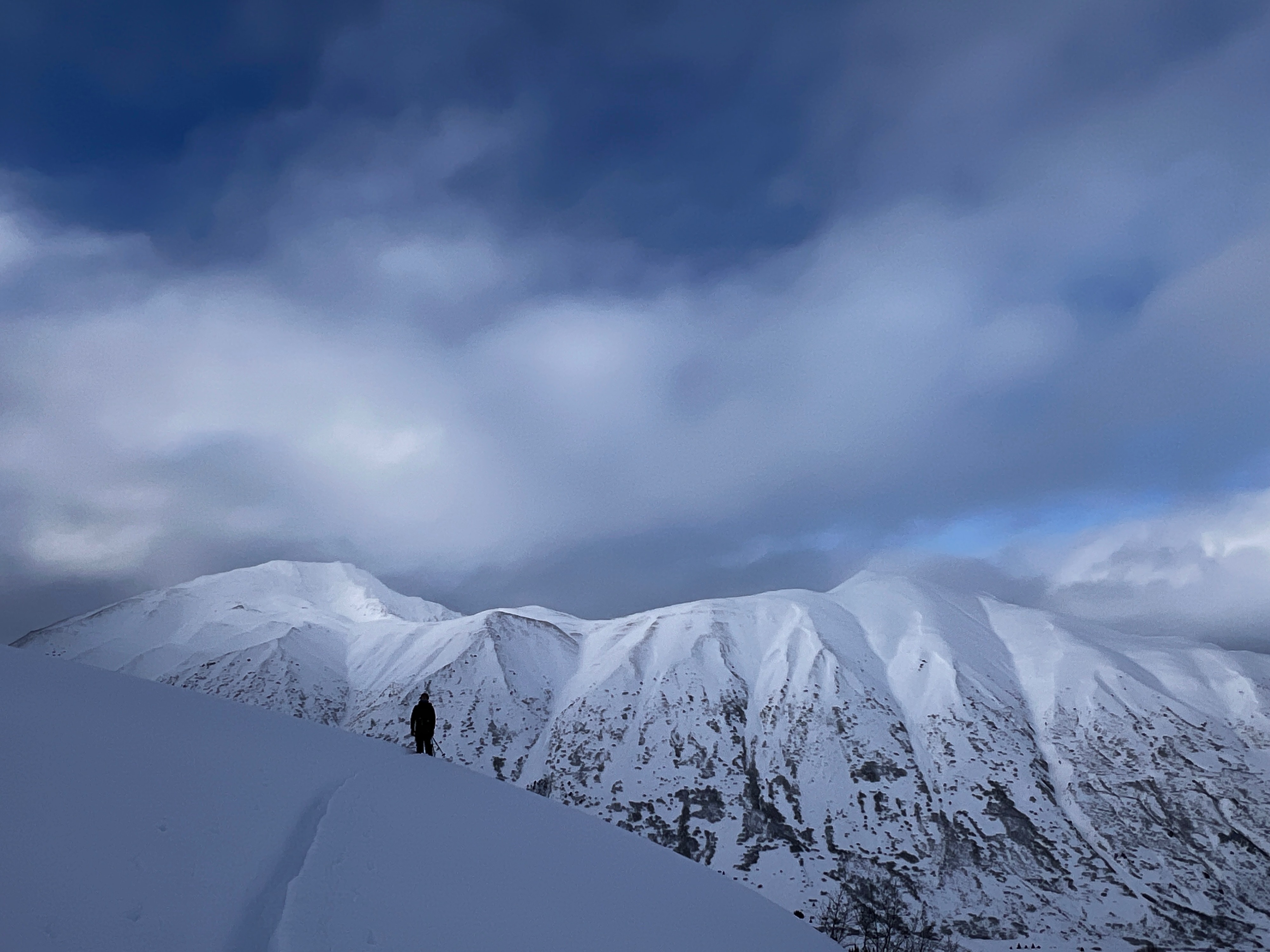
The clouds mostly covered the skies today with periods of poor visibility, light snowfall, and clearing with broken blue skies. Winds remained calm with ridgetop winds picking up in the afternoon.
Snowpack
On a test slope at around 2000 feet, we were able to dislodge a wind-lip which triggered a small storm slab. On the SW facing shoulder of Magnum at 2100' we dug a snowpit to assess the new snow. Our snowpit test results were ECTN17 50cm down and ECTN22 40 cm down, which were distinct hardness changes within the storm snow when the storm got colder and the rain line dropped later yesterday.
Avalanche
Observed multiple D1-D2 avalanches on the north face of Corn Biscuit that were likely released during the Tuesday storm.