
Weather
- Cloud Cover
- few
- Wind Loading
- previous
- Snow Avail For Transport
- small smounts
Mild temperatures today with calm winds.
Snowpack
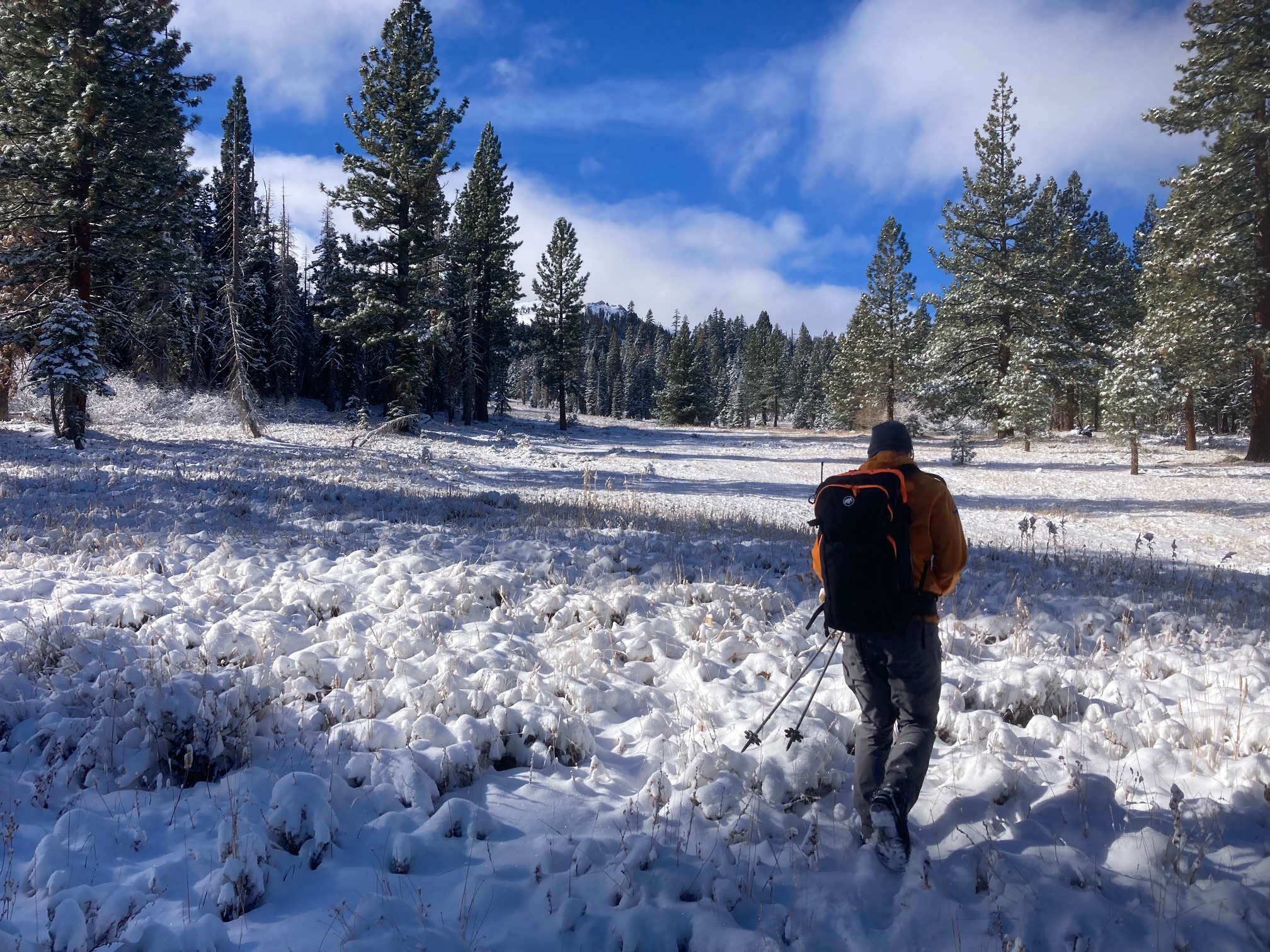
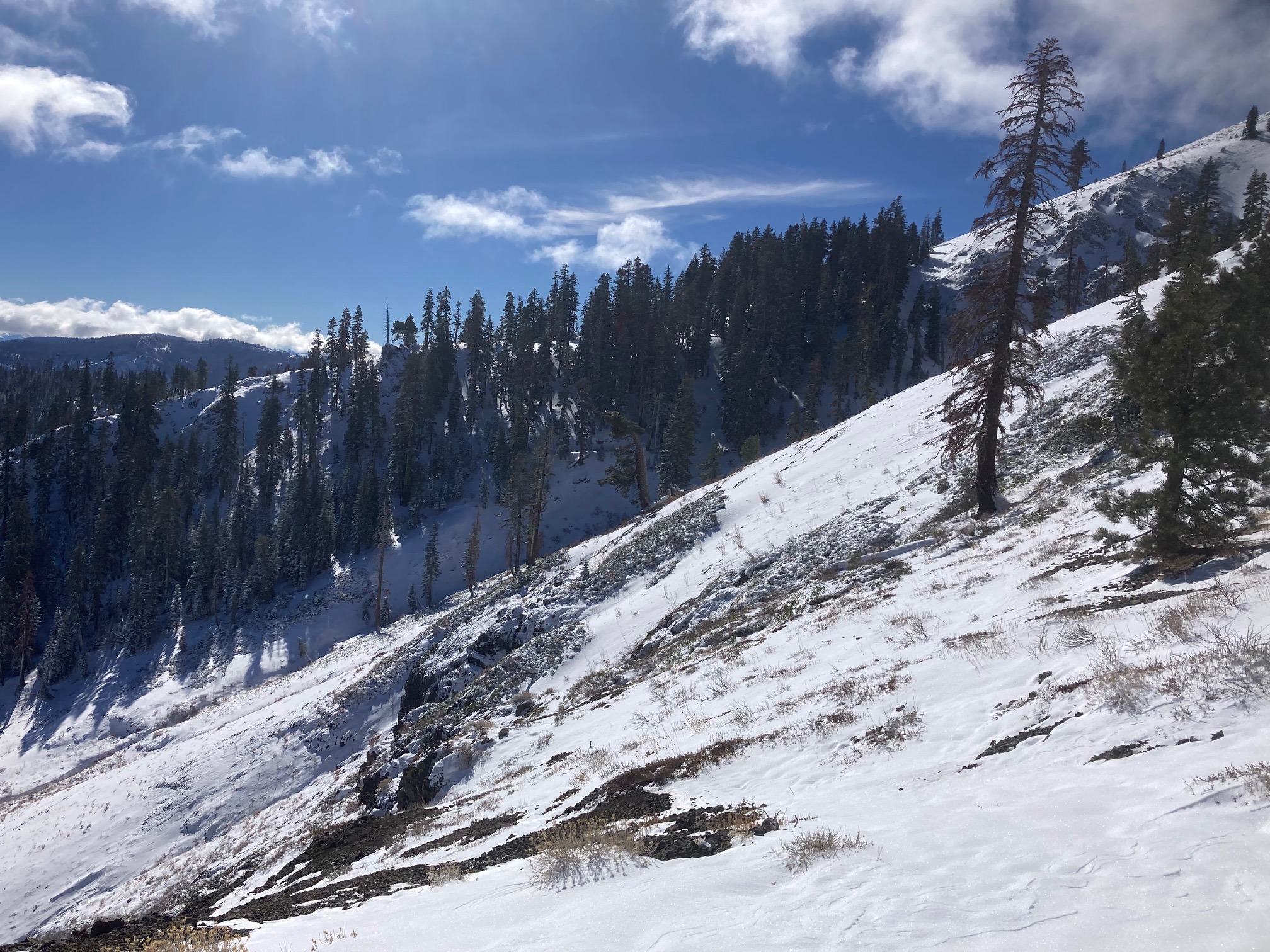
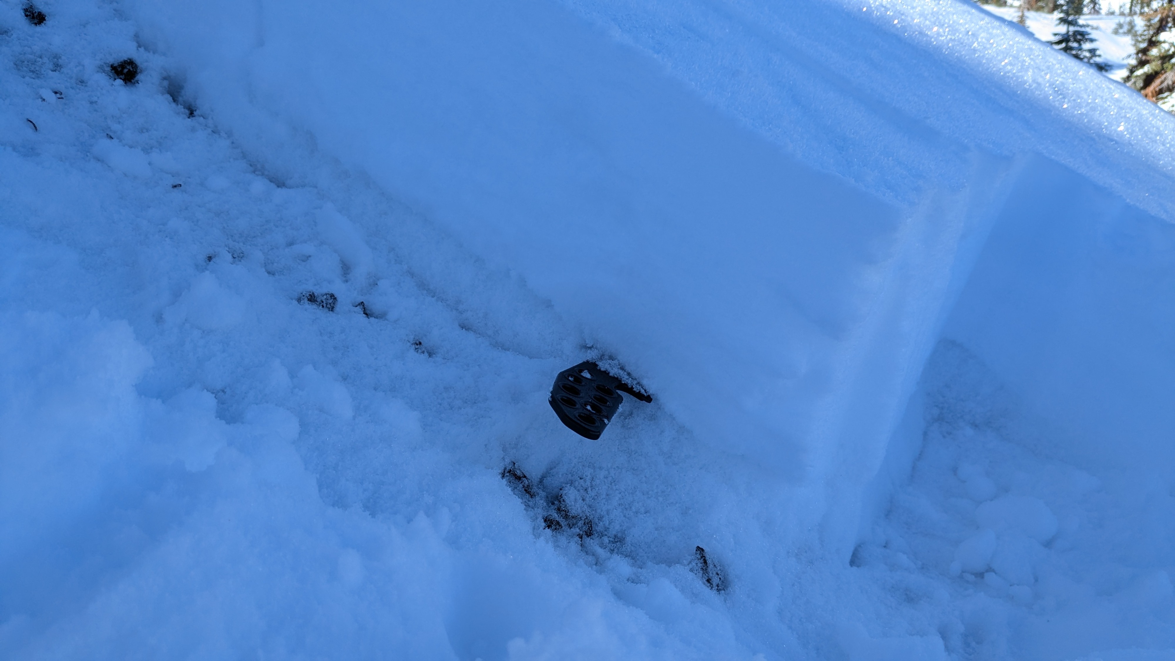
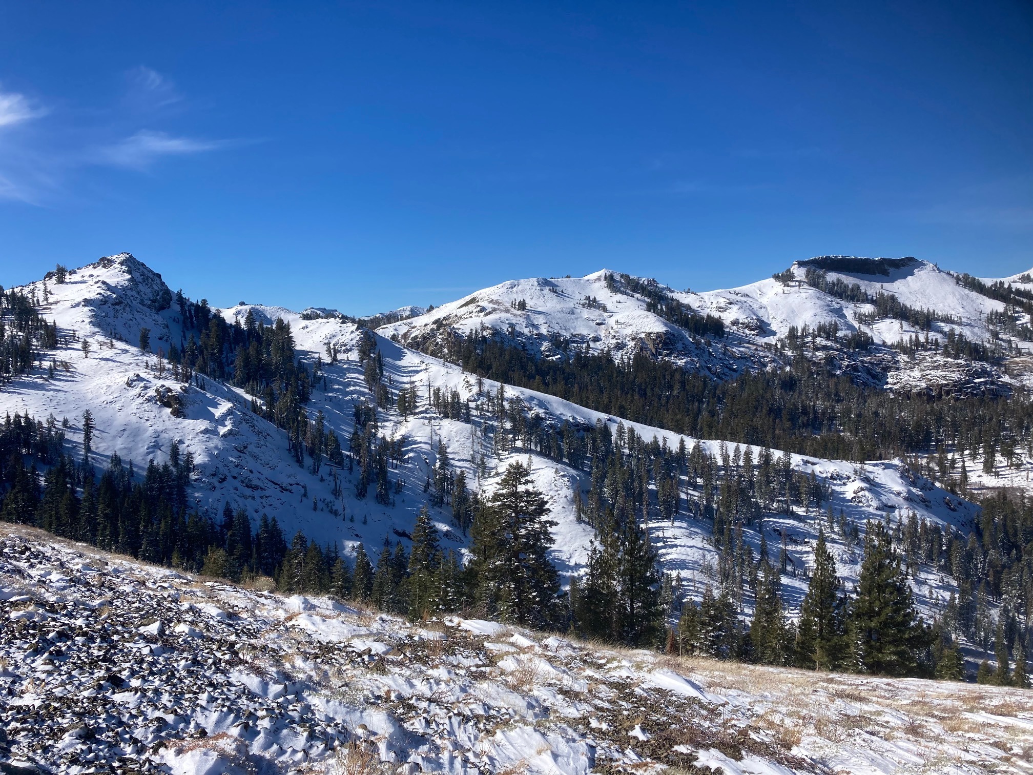
We made observations on Silver Peak today from 6500' to our high point of 8200'. Snow coverage above 7500' ranged from 6 to 12'' of snow on most NW-N-NE aspects in below and near treeline areas. Previous strong winds scoured exposed slopes back down to dirt and rock before being covered by the recent snow received yesterday. In shaded wind protected areas, snow exists from previous storms in late October and early November. This snow is weakening and going through the faceting process with the cold temperatures, long nights, and low sun angles. Most areas we observed today did not have a strong enough slab over this weakening faceted snow to produce an avalanche. Areas where wind blown snow exist on top of this weak snowpack structure will continue to be the concern moving forward.