
Quick report
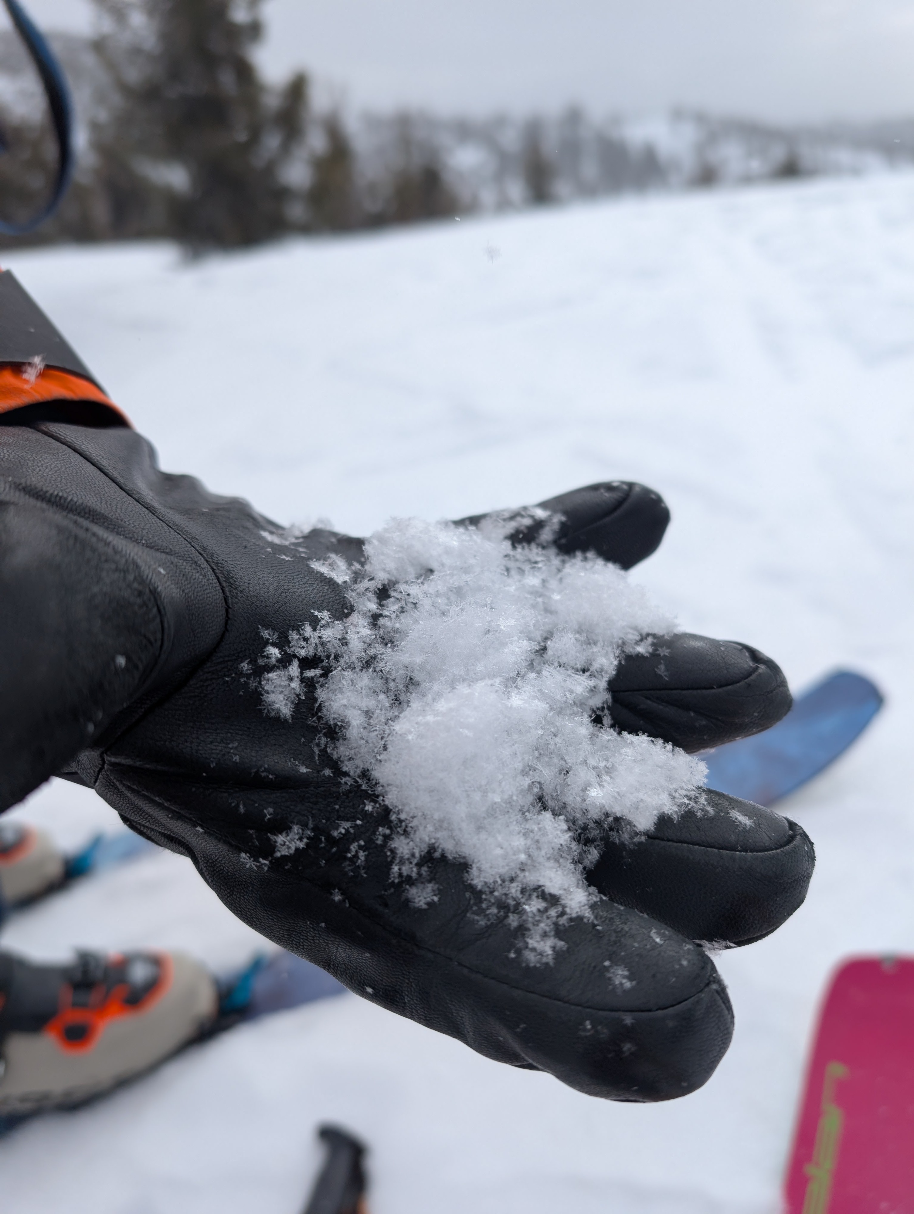
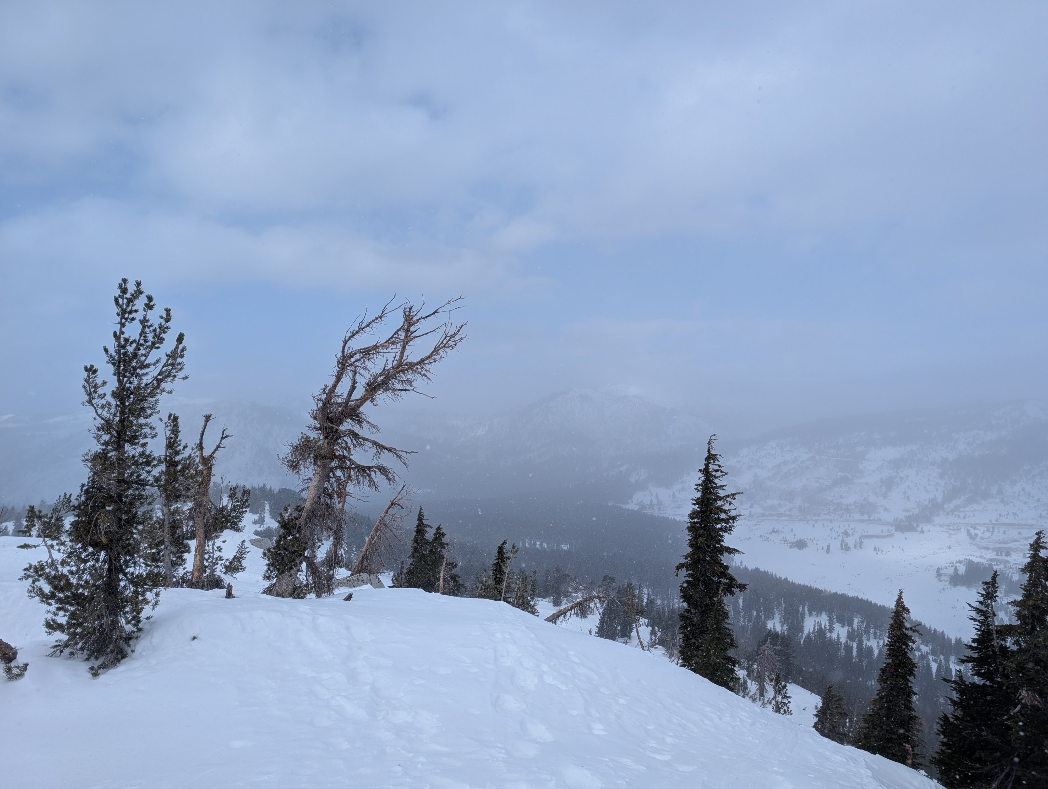
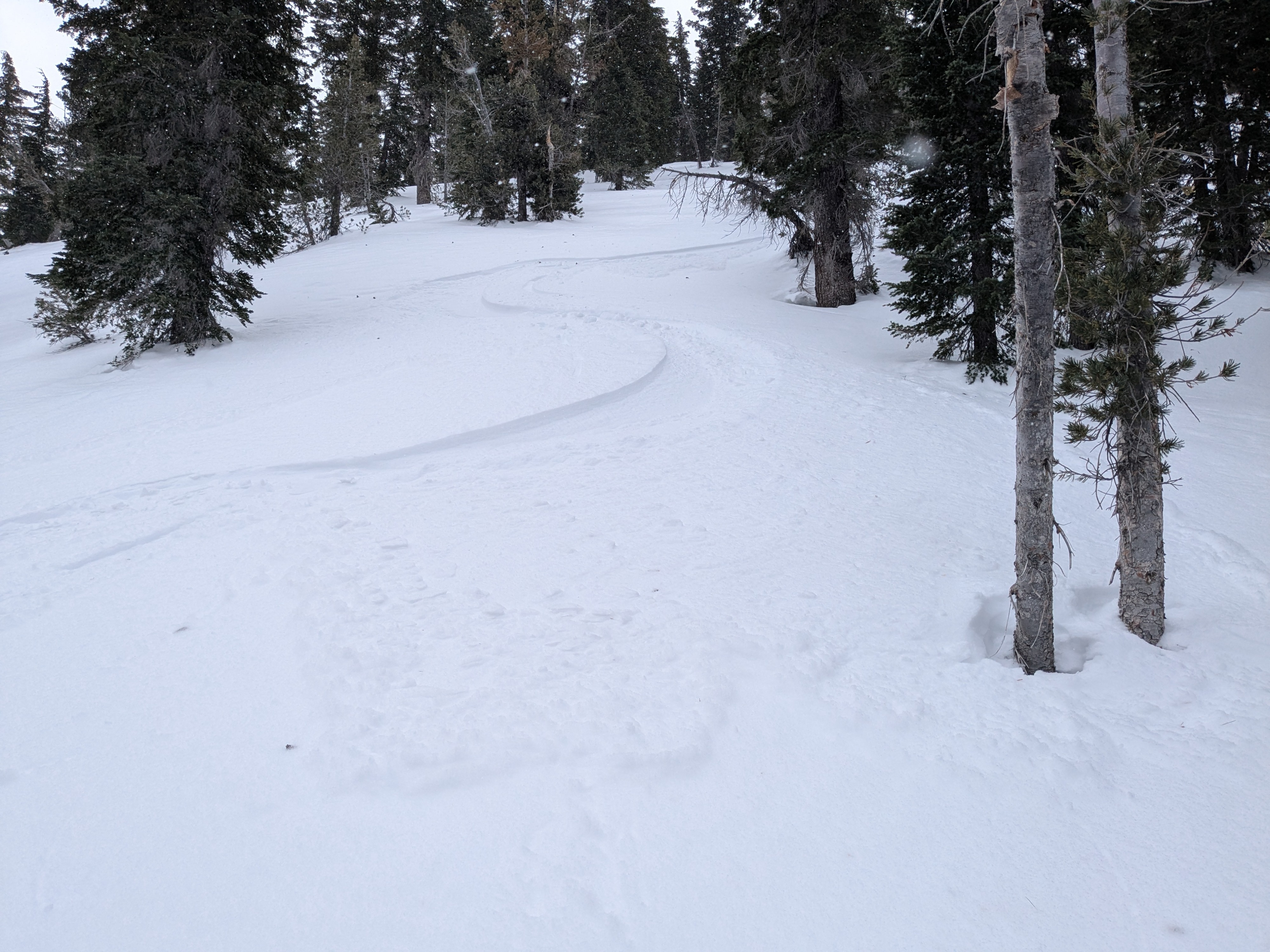
We toured out to the far eastern side of the northern portion of the forecast area this morning. Light snowfall occurred off and on throughout our tour. As in other portions of the forecast area, the top 6 inches of the snowpack was F hard surface facets on wind protected northerly aspect terrain. In steeper terrain, the surface snow had weakened enough to allow for very shallow loose dry sluffs to be triggered by ski turns. We covered N to NE aspect terrain from 9,200' down to 7,600' and found consistent surface facets throughout the area. Down at 7,600' on the far eastern side of the forecast area, the snowpack was 1 foot deep or less but still very ski supportable.
Snowfall rate <S1. Light to moderate speed wind with very little blowing snow observed.
Weather
- Air Temp
- 10
- Cloud Cover
- broken
- Wind Loading
- light
- Recent Snowfall
- 1
- Snow Avail For Transport
- small smounts
Snowpack
Substantial faceting of the top 15 cm of the snowpack. Enough to allow for shallow dry loose sluffs.