
Quick report
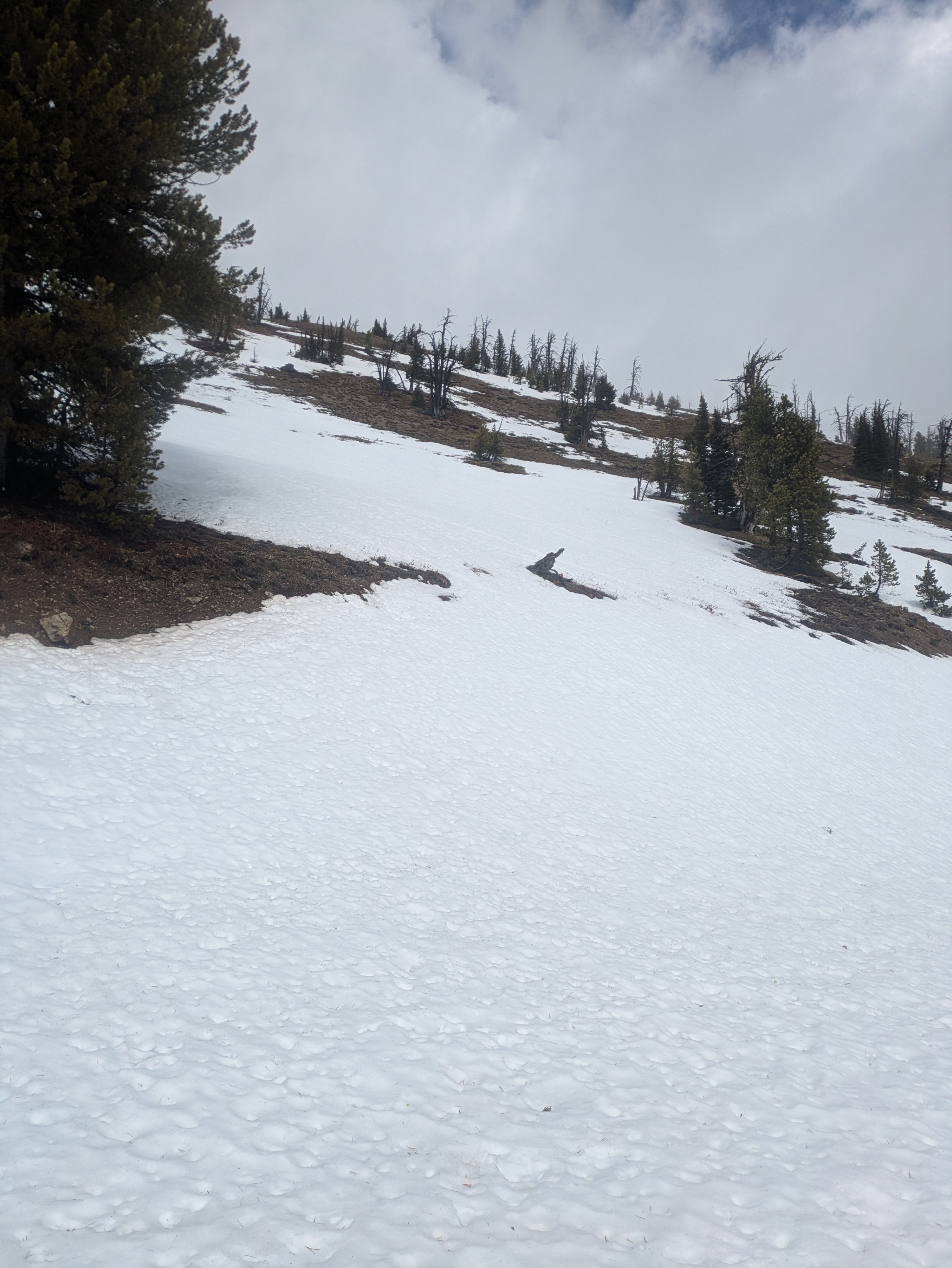
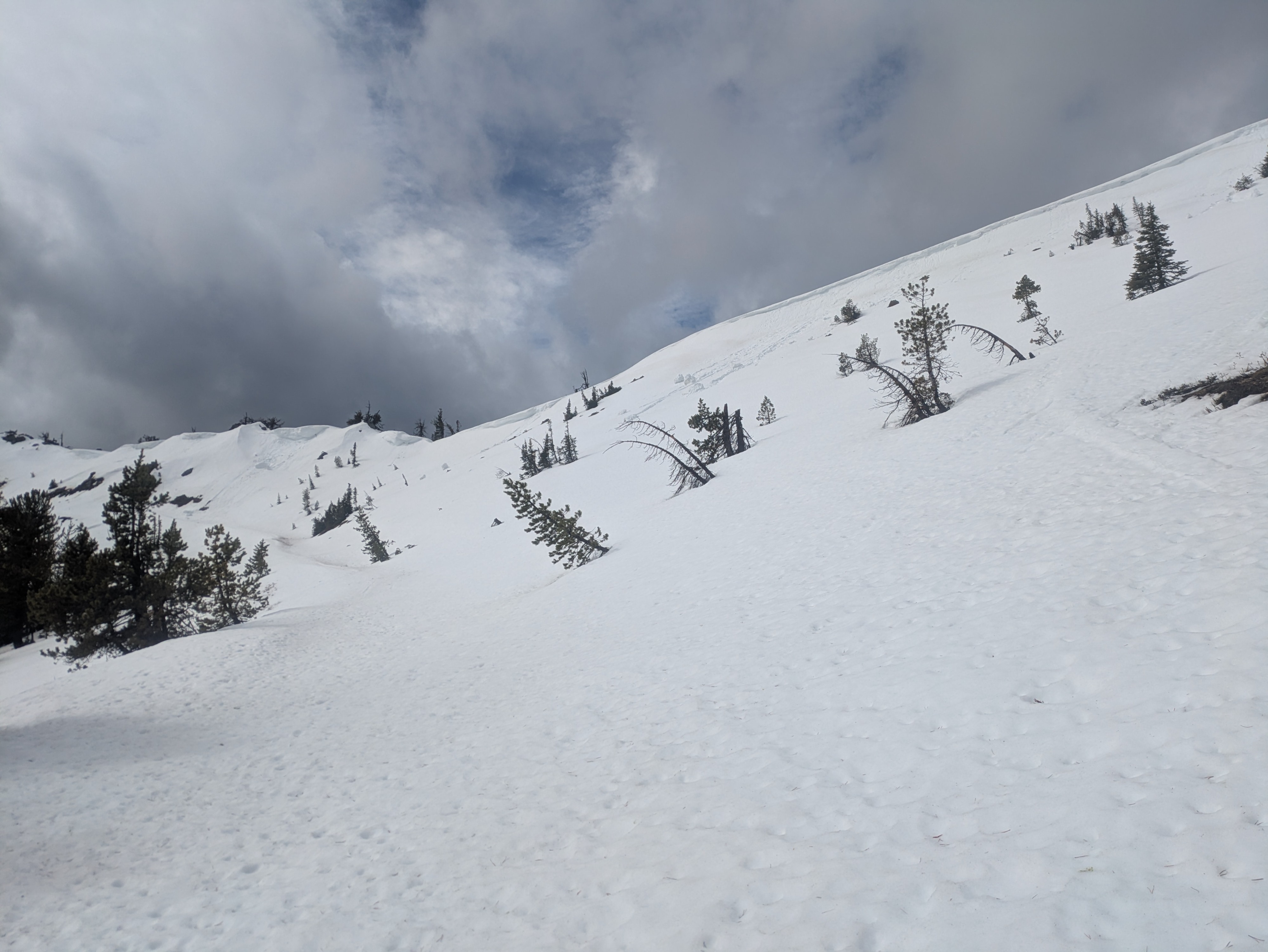
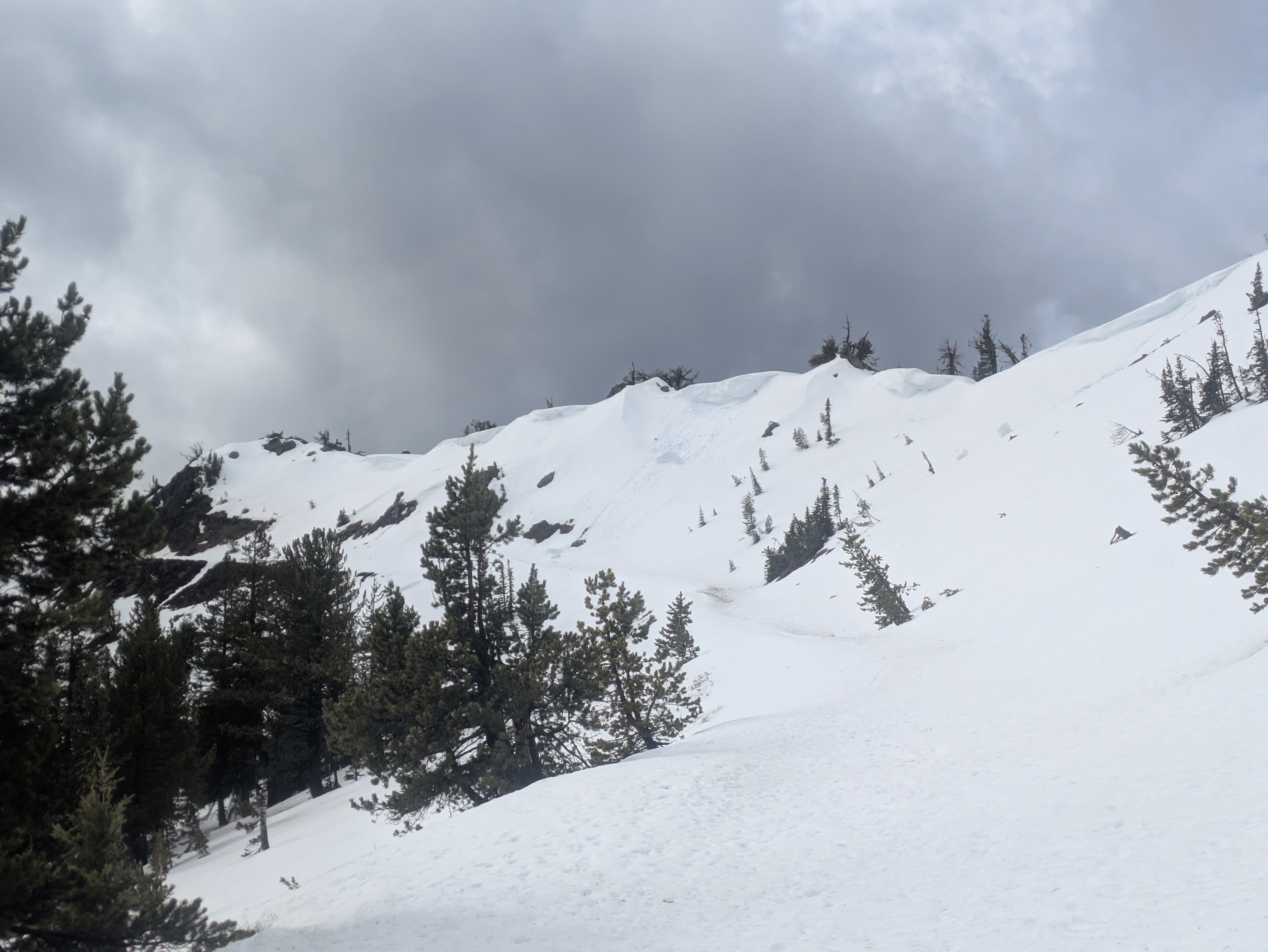
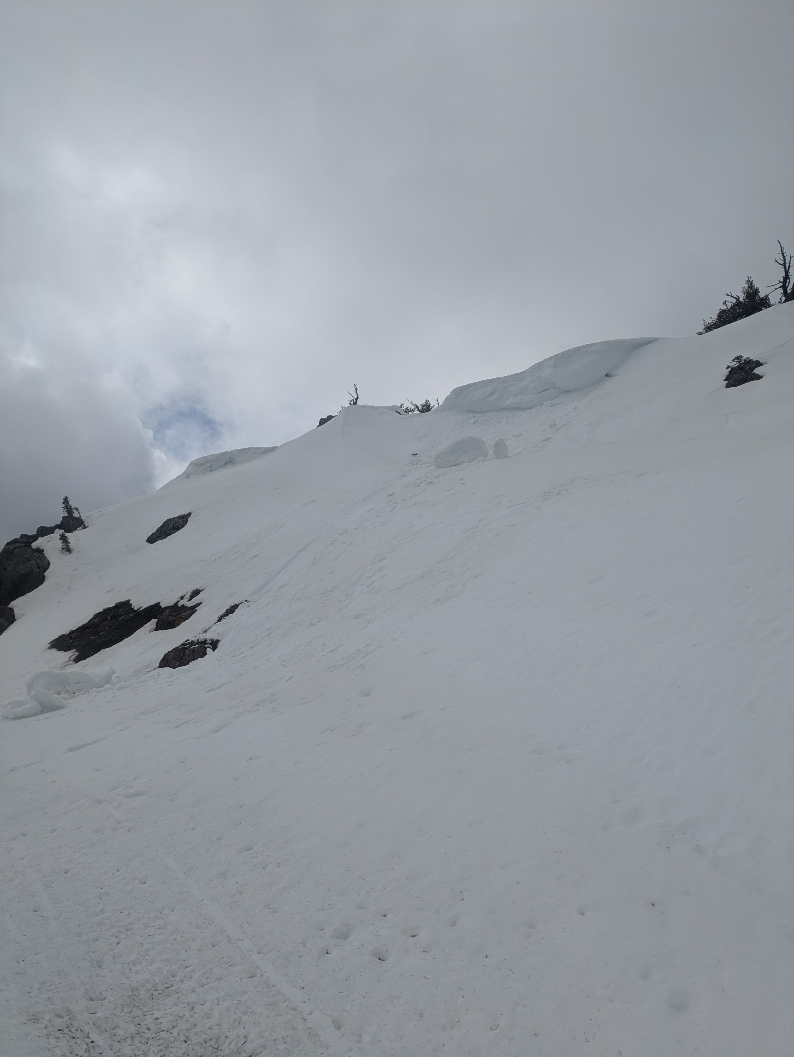
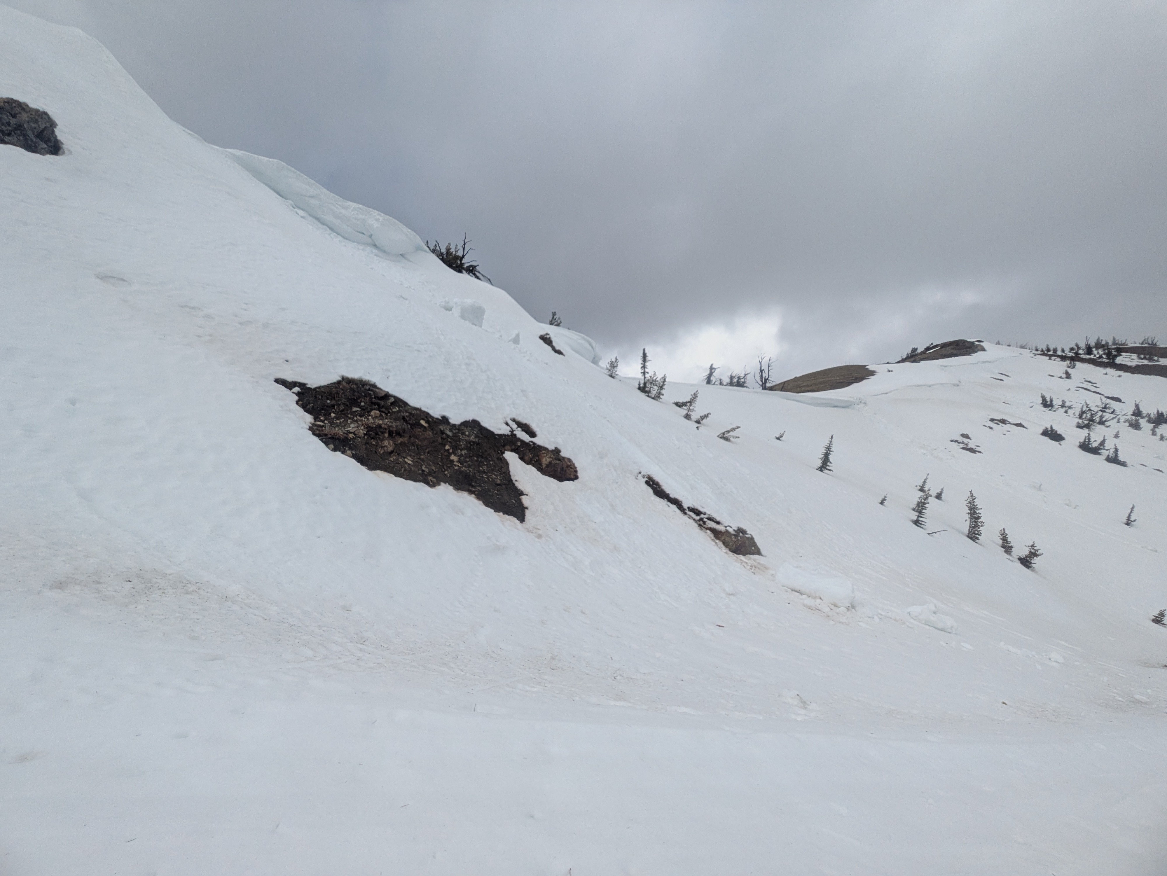
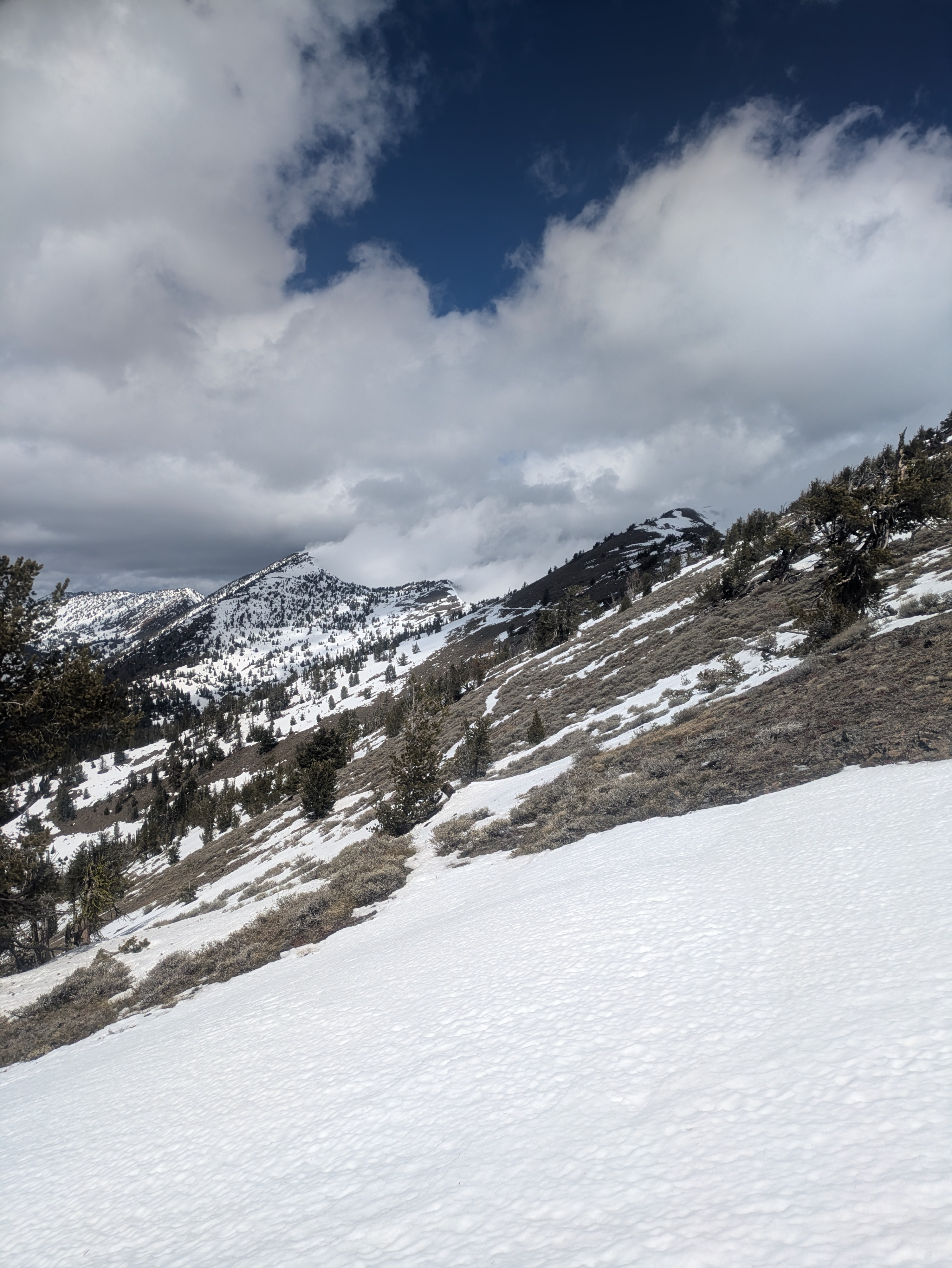
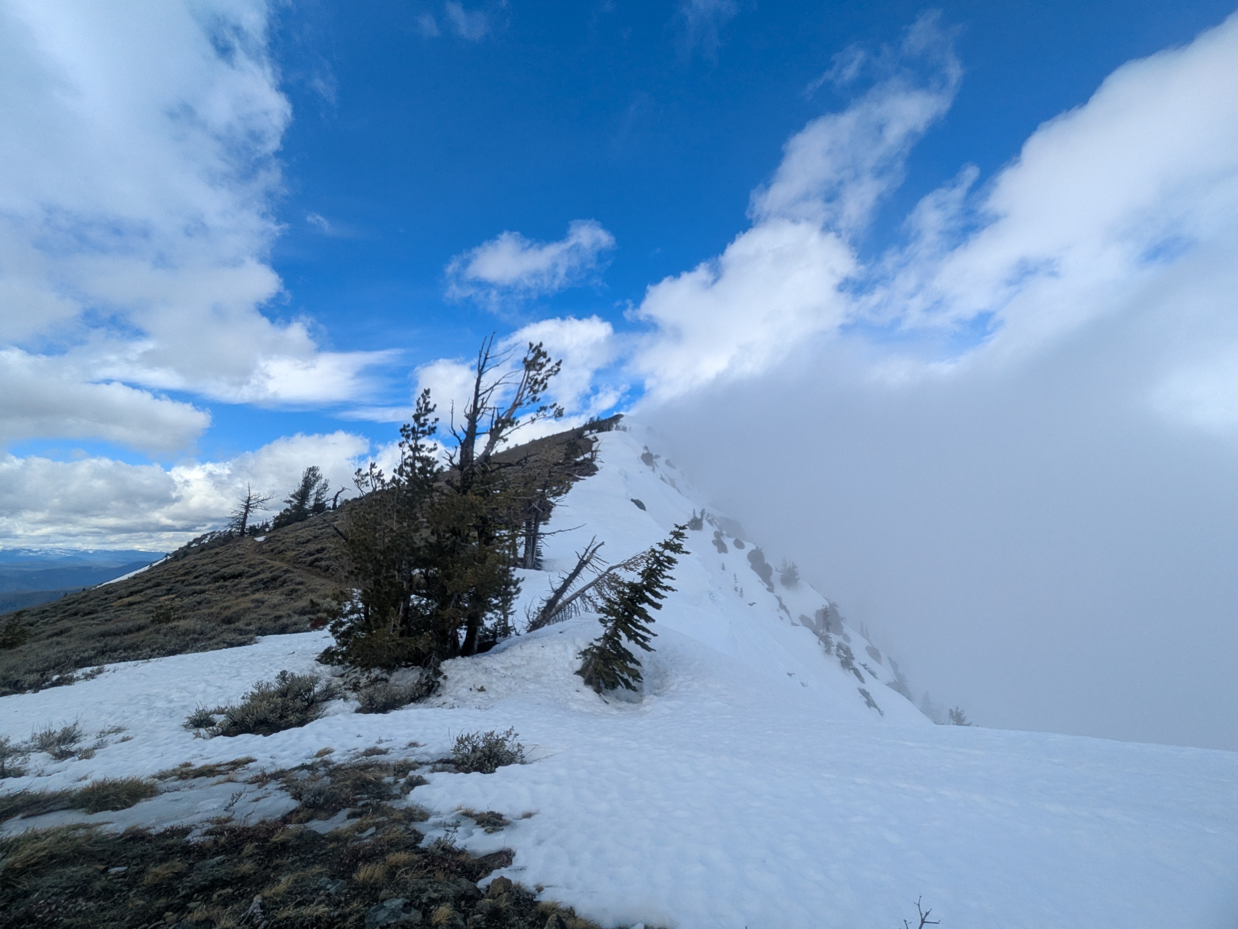
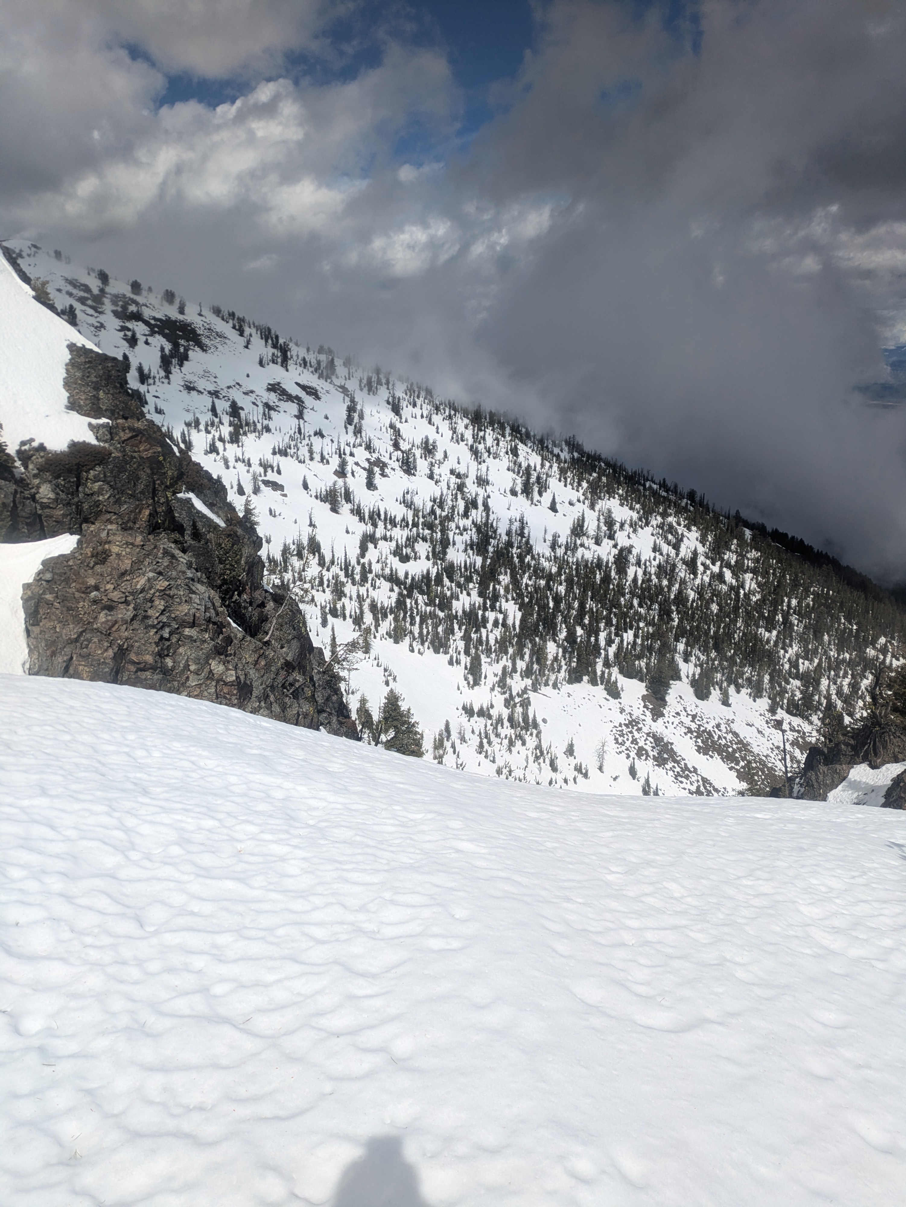
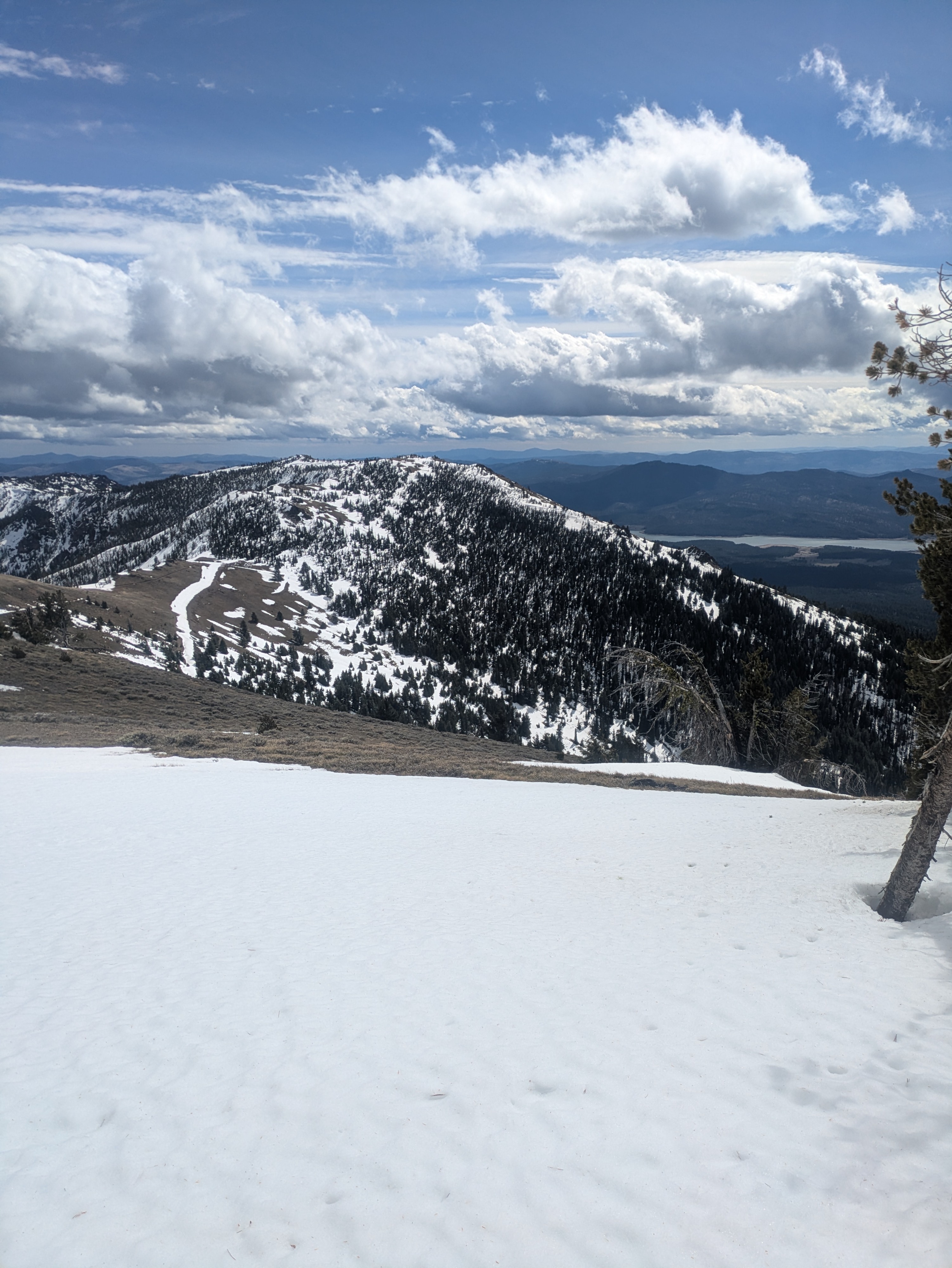
The snowpack is rapidly dwindling in the Southern Elkhorns, and even when travelling between 7000 and 8000 feet, I found most Southern and Western aspects had bare dirt up to about 1 foot of snow. Northern and Eastern aspects above 7000' still had 1-4 feet of snow, but warm temperatures are clearly impacting what is left. I saw the aftermath of several cornice failures at ridgelines that appear to have collapsed in the last couple of days. Additionally, I found the existing snow to have visible water in the snowgrains going down several feet.
I observed several D1 cornice failures on an east aspect at upper elevation. No other signs of instability.Weather
- Air Temp
- 39-43
- Cloud Cover
- broken
- Wind Loading
- none
- Recent Snowfall
- 0
- Snow Avail For Transport
- none
It was raining lightly until about 10am. After that, precip stopped and clouds slowly shifted from overcast to partly cloudy. Temps were above freezing all day, even up to 8000'. At the ridge, winds were consistently moderate from the west and south-west, but lower down, they were calm to light.
Snowpack
Rather unsurprisingly, it appears that the snow is melting. I dug down to the ground at 7300' on a NE aspect in a spot where I found about 4 feet of snow. The top 3 feet of the snow had very wet snow grains with visible moisture in the snowpack. In the bottom foot of the snowpack, grains were less wet but still had moisture in them and I could find the remnants of some weak, faceted grains that have not fully rounded out.
When I took temperature readings of the snowpack, I found the whole profile to be the same temperature, just barely above freezing (+0.2C) from the surface of the snow down to a few inches above the ground. While I did not see any signs of slab avalanches, having the entire snowpack right at or above freezing temperatures can lead to large and unpredictable avalanches.