
Quick report
The mountains remained cold and wintery while we were in the field. However, you could tell the transition was on the way. This helped keep the hazard a bit lower than expected, but overlapping avalanche concerns, complex weather, and lingering persistent weak layers kept our terrain choices reigned in.
Weather
- Cloud Cover
- broken
- Wind Loading
- light
- Snow Avail For Transport
- small smounts
Nice morning in the mountains. A split cloud deck with low clouds/fog to ~4000ft and mid level clouds above ridgeline. Winds were generally light out of the E where we traveled. Just a few drops of rain around noon at 5200ft with sleet at the TH.
Snowpack
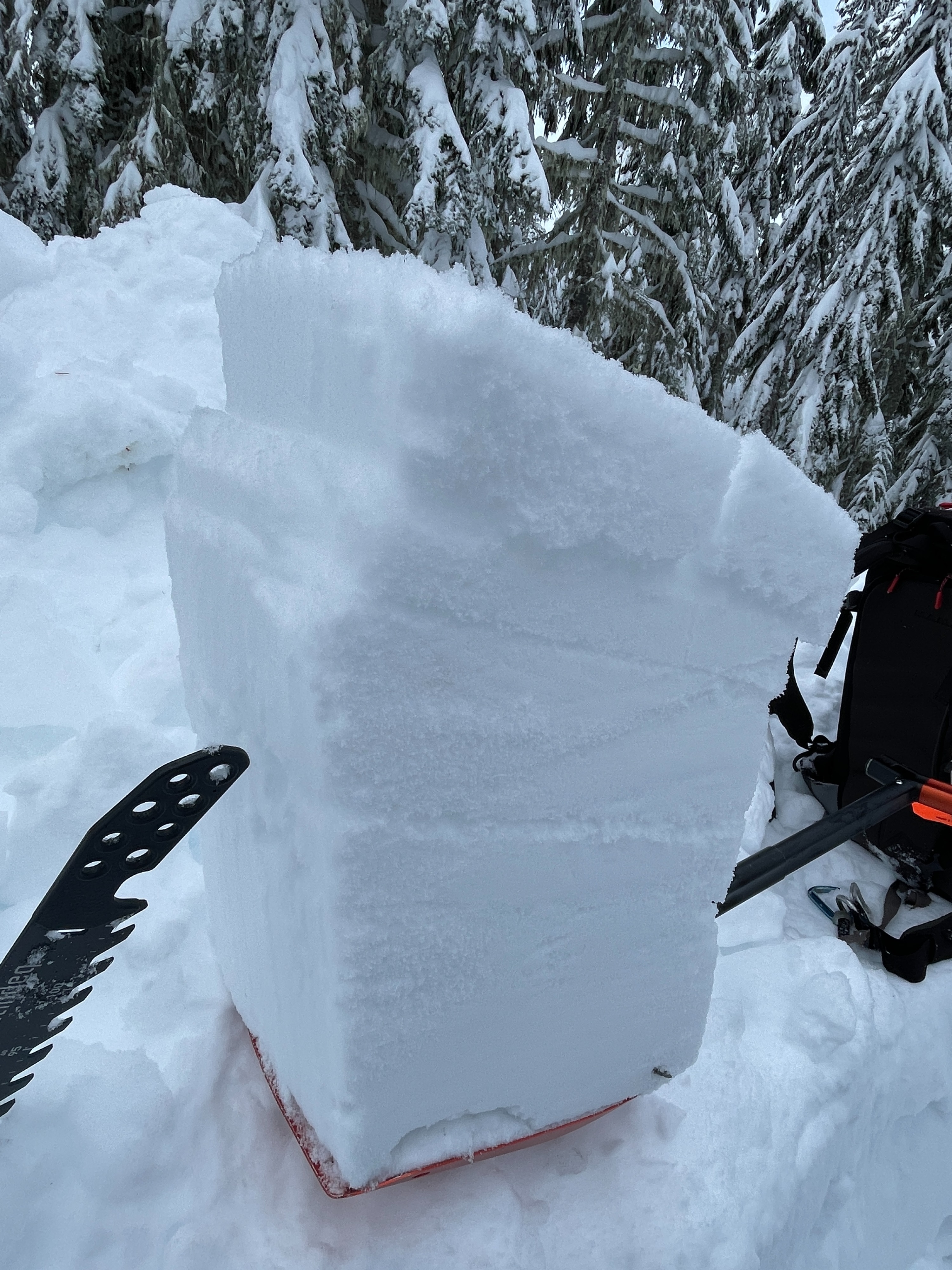
Upper Snowpack About 12-15in (30-45cm) of recent snow sits over the 1/16 interface. Three distinct inter-strom layers were routinely visible, but all in all, the storm snow was right side up and gaining strength. In exposed areas, there were very minor wind effects, but plenty of snow lingered in the trees. Above 4500ft, a thin crust was present at the base of the new snow (1/16).
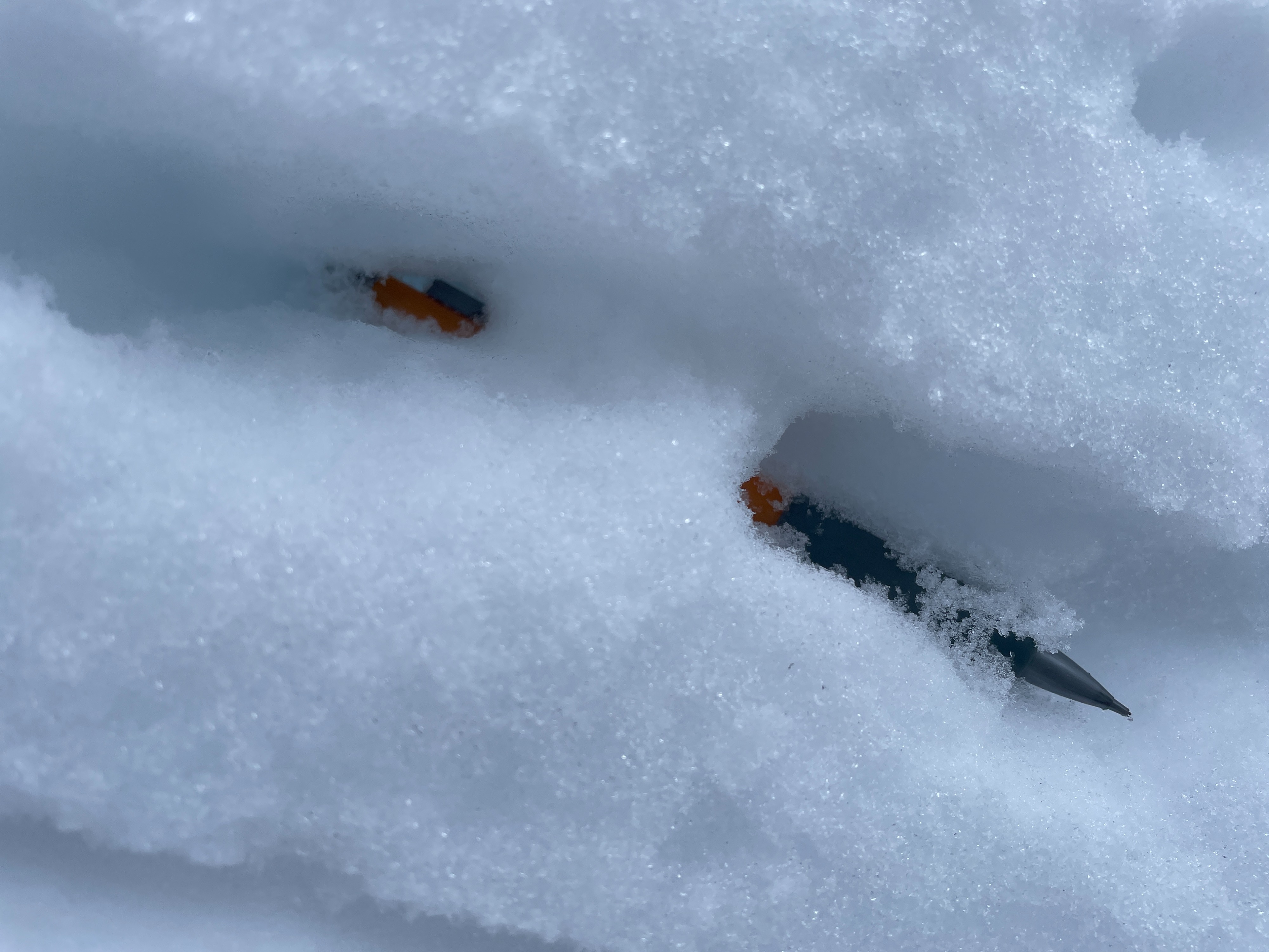
Middle snowpack: You can still see nearly every interface from the past month (1/8, 1/4, 12/30, 12/25, and Solstice). Snowpack tests did not fail on any of these layers. Even targeted deep tap tests on the Solstice Crusts took extra hits to fail. However, they still failed suddenly, and 2mm facets were present. In some places, vertical ice columns (percolation tubes) were found between crusts adding strength to that layers.
Lower Snowpack: Below the Solstice Matrix the snowpack is generally strong.
Avalanche
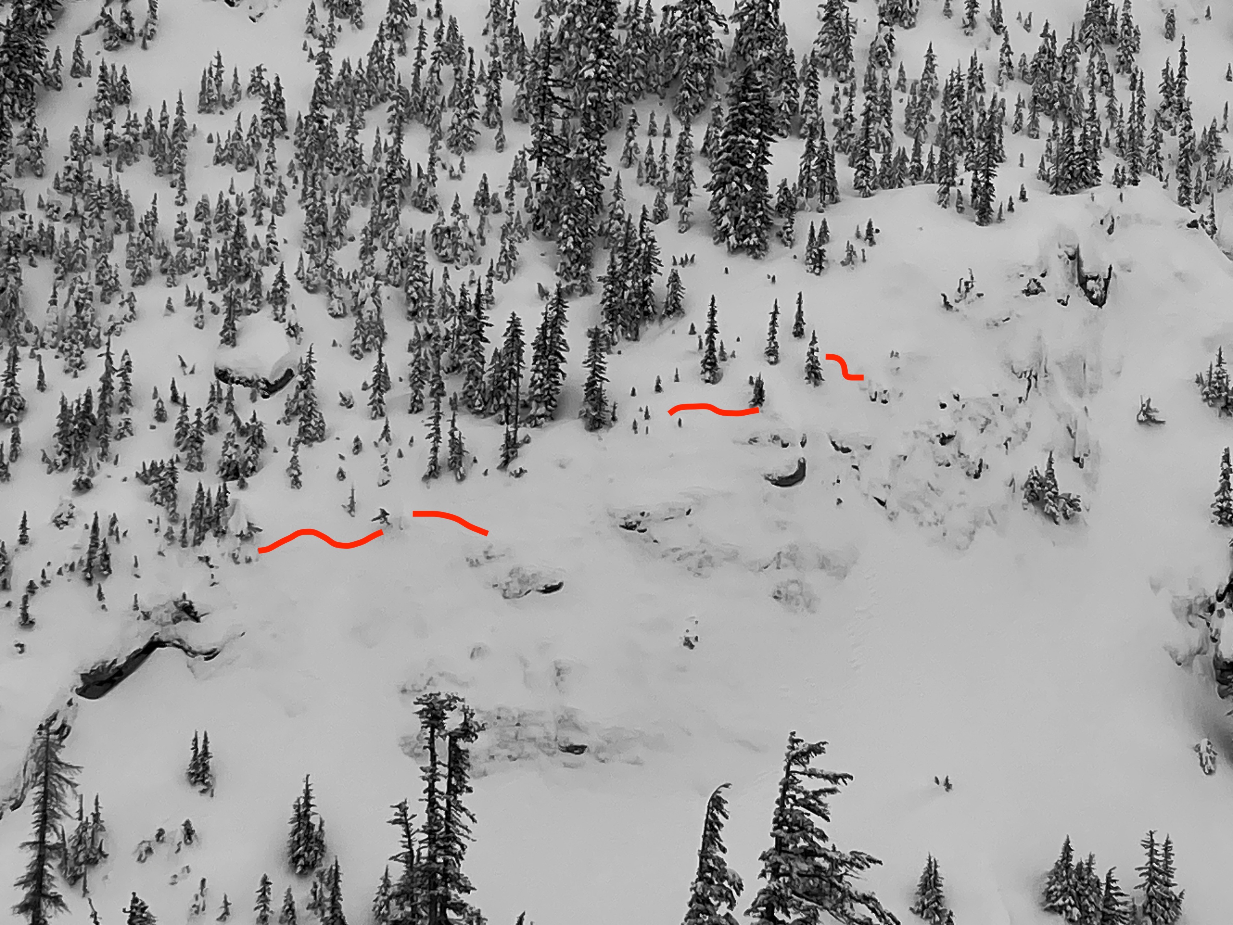
We observed 4 very small shallow storm slabs in unsupported terrain.