
Quick report
- Cracking
- isolated
Who doesn't love cold, well-settled, springtime powder? For the most part, the new snow is well bonded to the crust below, and wind slab layers at mid-elevations would best be described as stubborn, trending toward unreactive, and isolated in distribution. On the other hand, steep, heavily wind-loaded slopes at upper elevations still deserve assessment. The risk of triggering a wind slab should continue to trend downward in the coming days. Wet avalanche activity was limited in size, but there was enough warming to see an uptick in rollers and small avalanches starting at 11 am. Lower elevations in the immediate area - and above 4000 feet - were seeing enough small wet avalanches to not be Low. But low elevation snow cover doesn't seem significant once you get away from the Baker Backcountry.
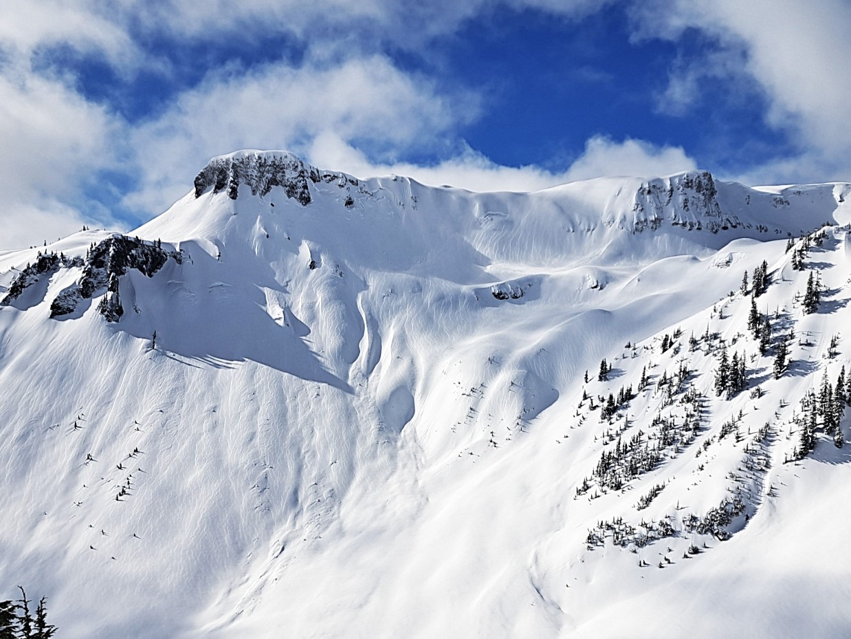
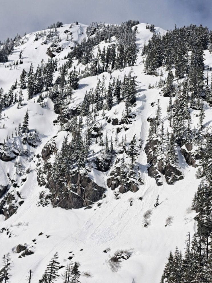
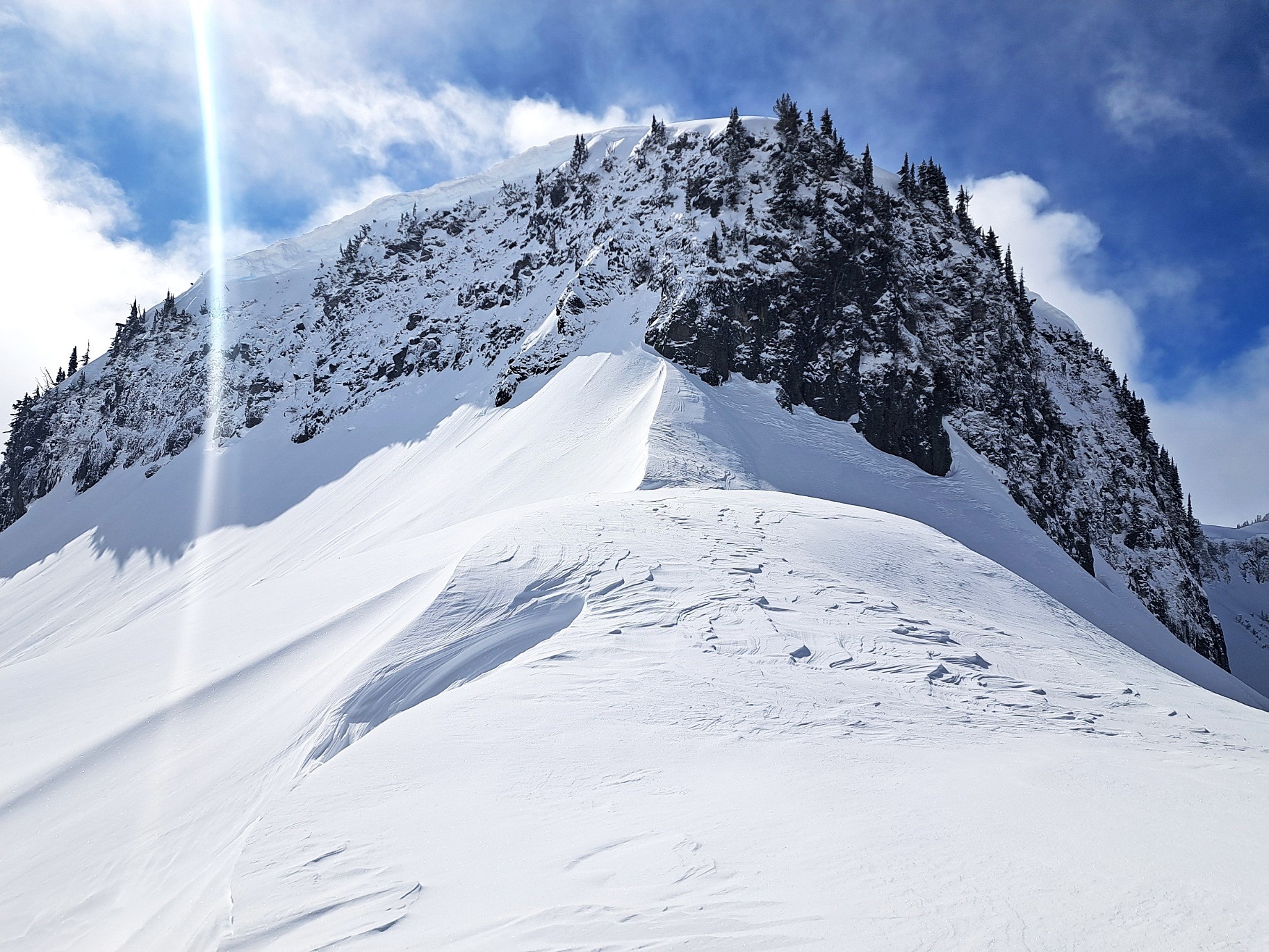
Small, isolated cracks on ridgeline above the slopes that saw the most wind loading. Large natural avalanches in distant terrain at upper elevations from snowfall and wind loading on Wednesday. Many of the go-to steeper lines around Upper Bagley were ridden without incident, but people were generally staying away from the steepest, biggest slopes (>40 deg) around Upper Bagley.
Weather
- Cloud Cover
- broken
- Wind Loading
- previous
- Recent Snowfall
- 25
- Snow Avail For Transport
- small smounts
Enough clouds to keep serious warming on solar aspects in check, but enough sun to make it feel like a sunny spring day. Some features held onto clouds more while Herman was near full sun overhead into mid-afternoon. Calm most areas to light winds east at Herman Saddle and at higher ridgelines. No active wind transport.
Snowpack
25cm of right-side-up new snow (F > 1F) over the crust buried late on the 24th. The rain that helped produce this latest crust also seemed to have wetted out any dry snow in place and melded that snow into the crust that developed with the last atmospheric river. So just one thick, knife-hard crust. Some wind-loaded terrain had up to 50cm over the crust, but this amount was the exception, not the rule. A thin layer of F+ snow was producing resistant shears below a layer of wind-dfifted snow on exposed, easterly start zones. Windward slopes right at ridgeline were often scoured down to crust. Southerlies were warming, becoming moist and dense. Expect some crust on southerlies on Friday. Shaded slopes were staying cold and dry.
Avalanche
- Size
- D2
- Count
- 3
- Aspect
- NE
- Trigger
- AS
- Elevation
- 4900 ft
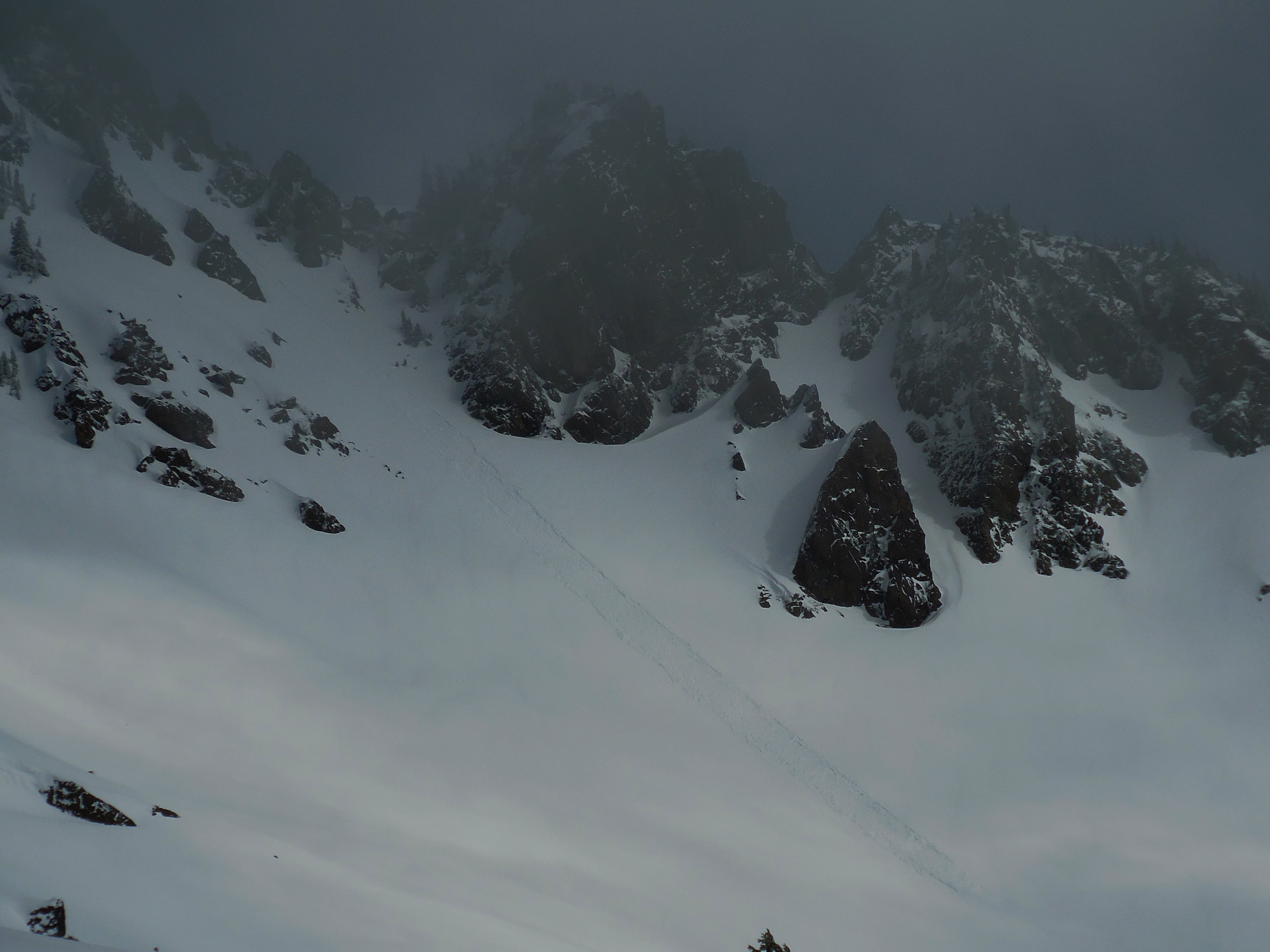
No fresh avalanches observed today, despite a moderate amount of traffic in steep terrain. Observed three D3's in high alpine terrain that likely released with snowfall and intense wind-loading on the 25th. Also, a single skier or rider-triggered slab, also from the 25th, was visible on the north side of Table at mid-elevations.