
Quick report
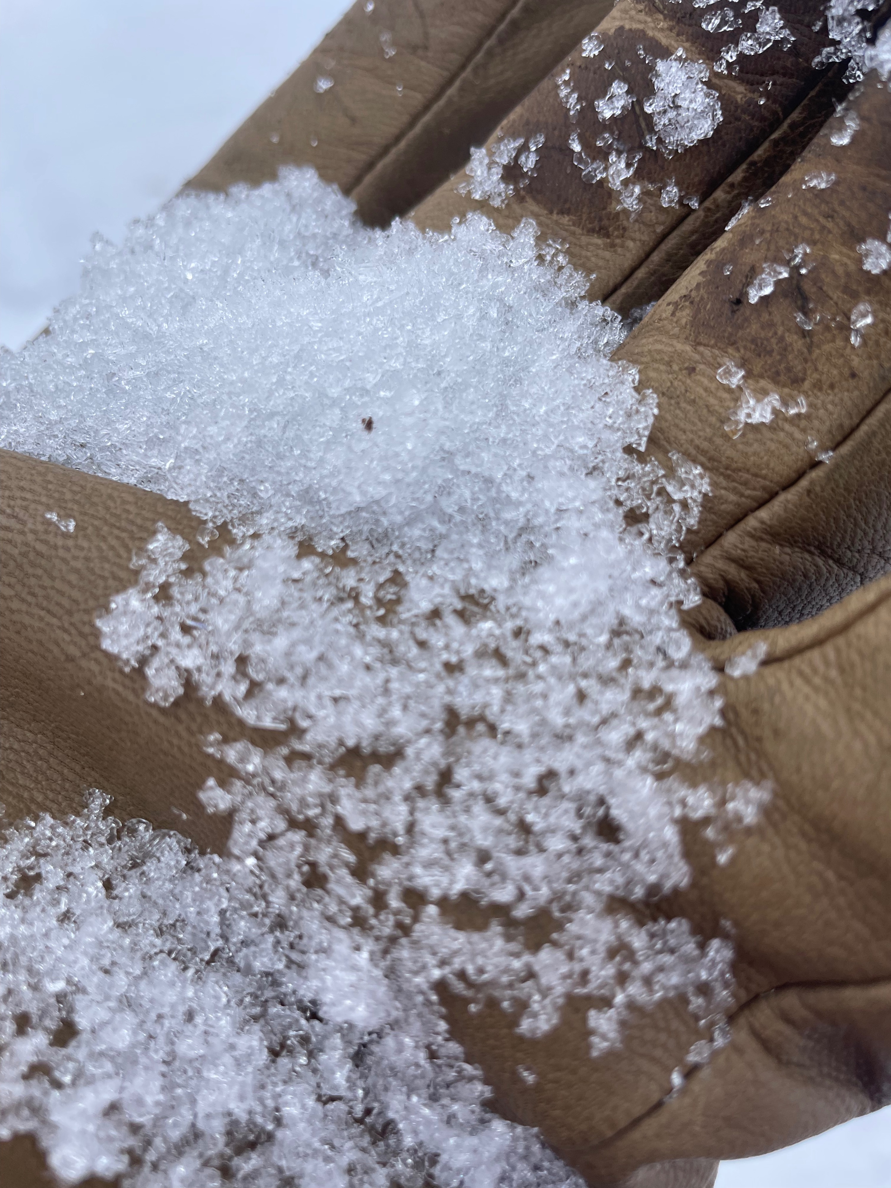
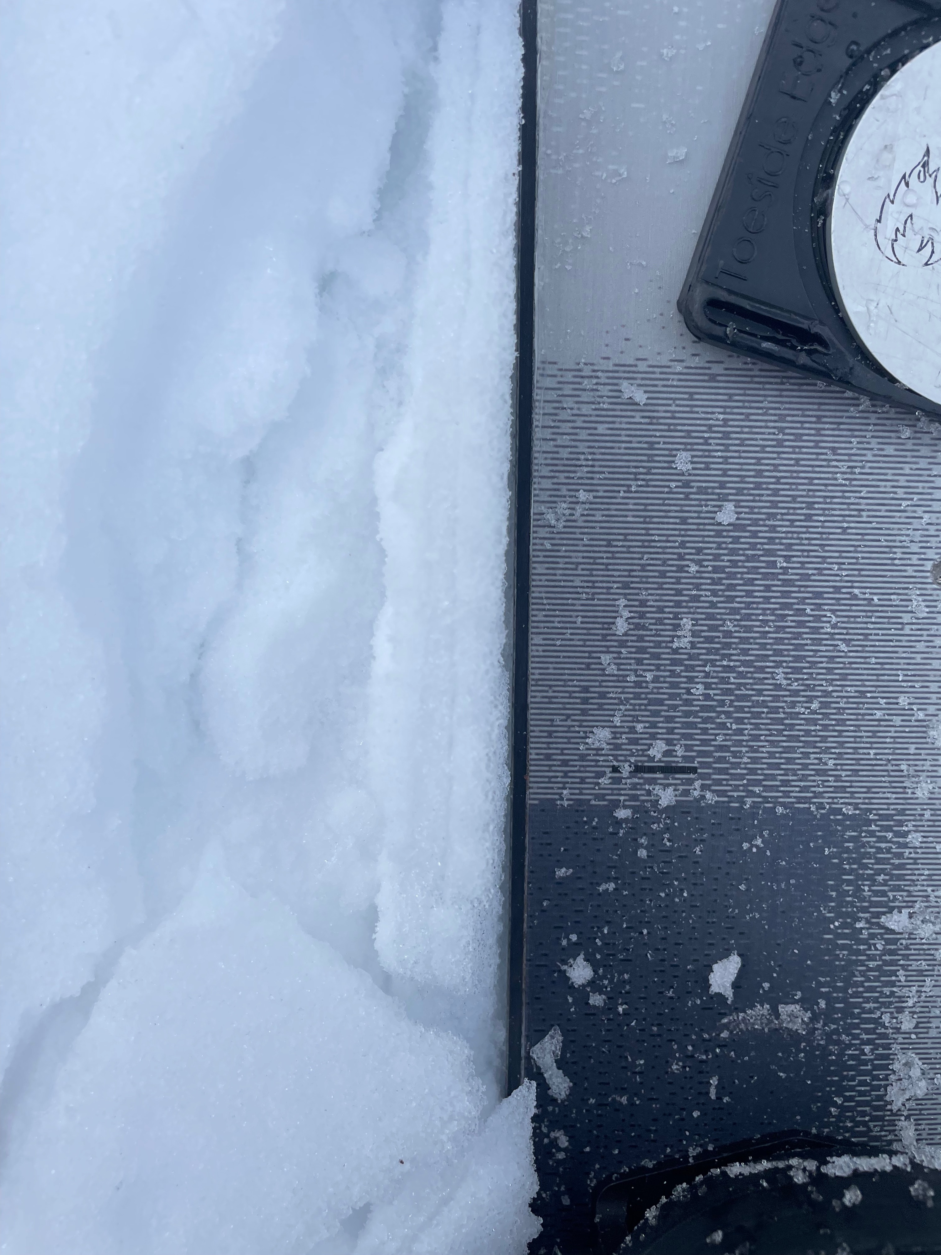
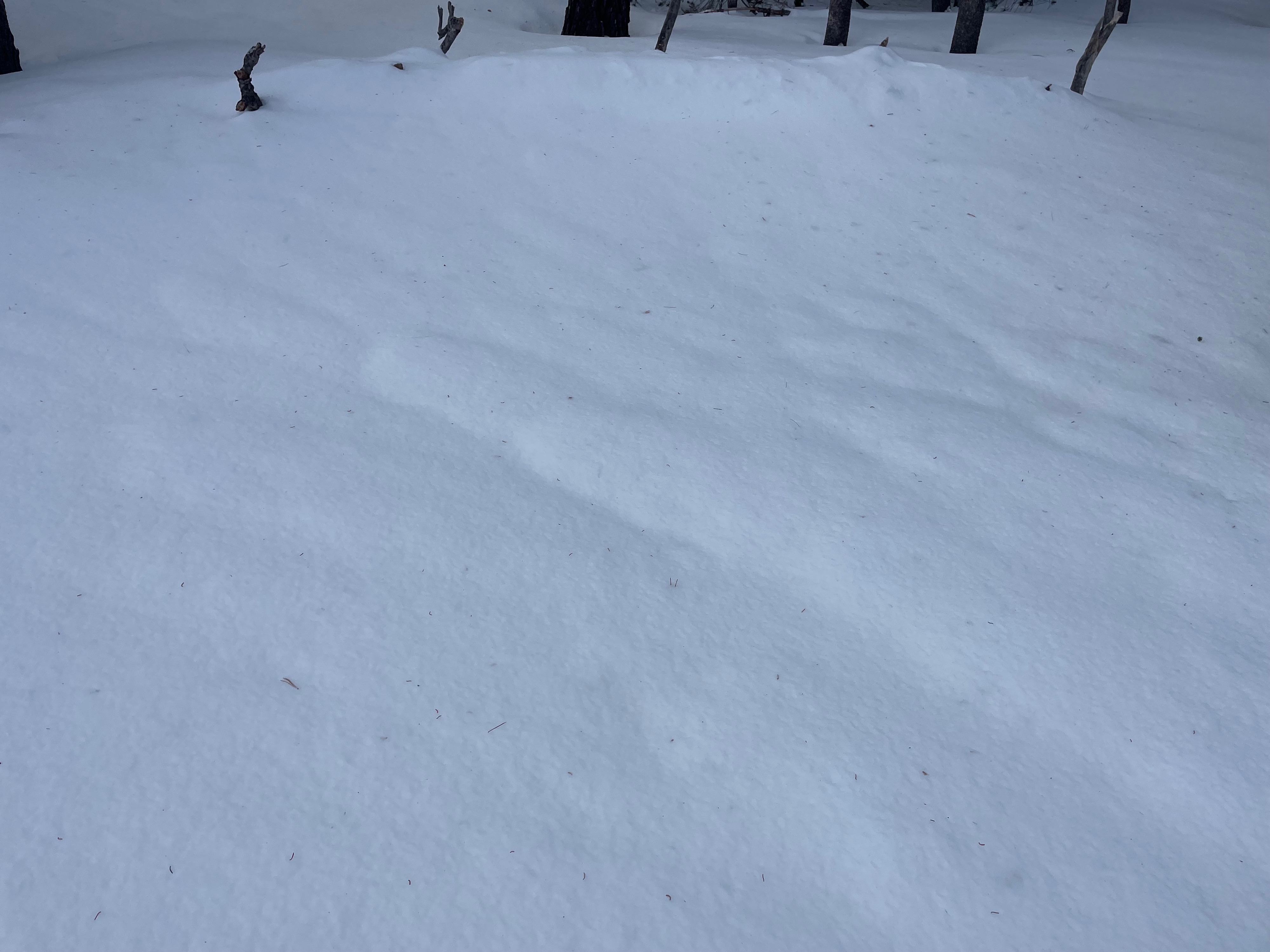
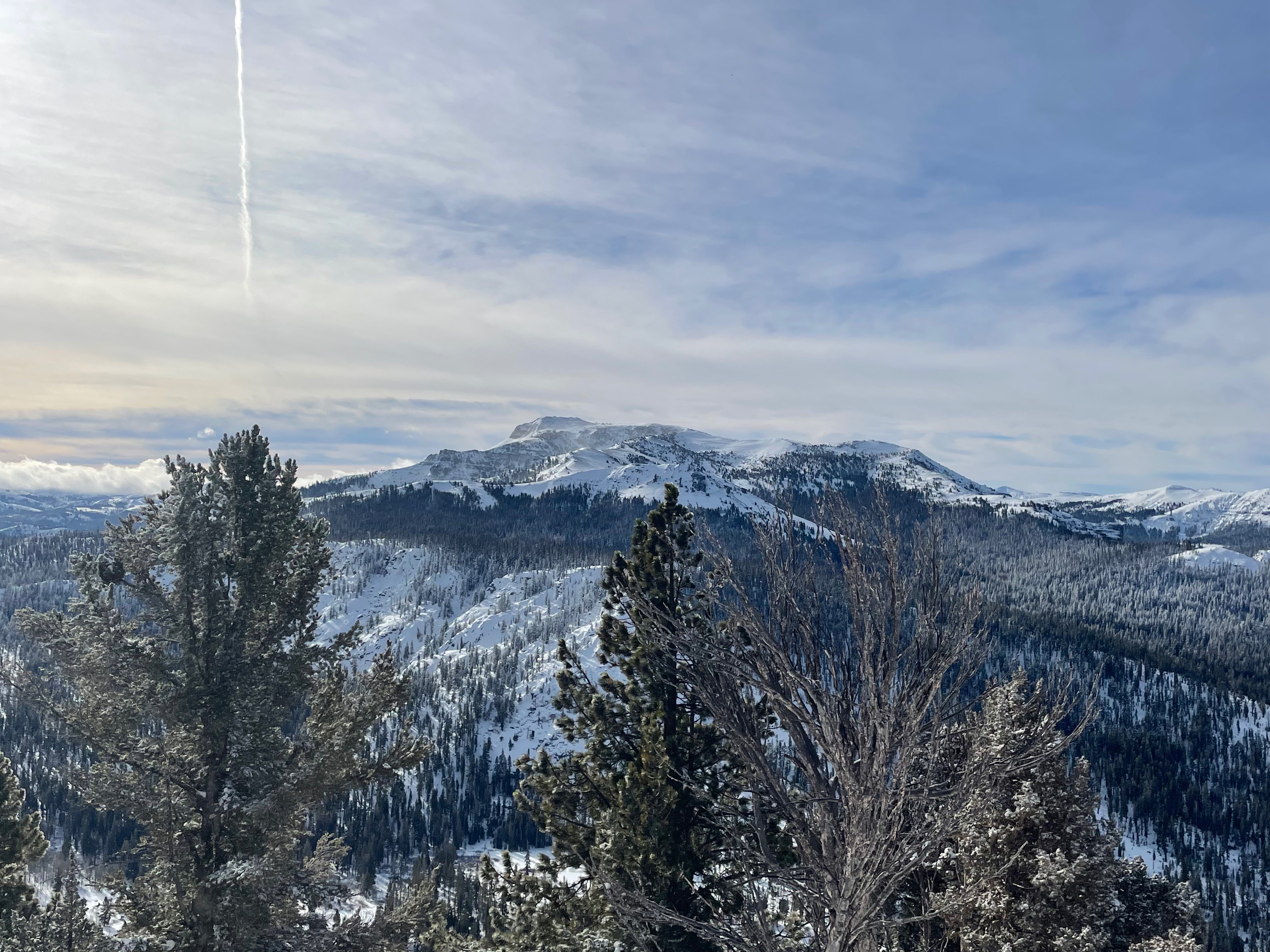
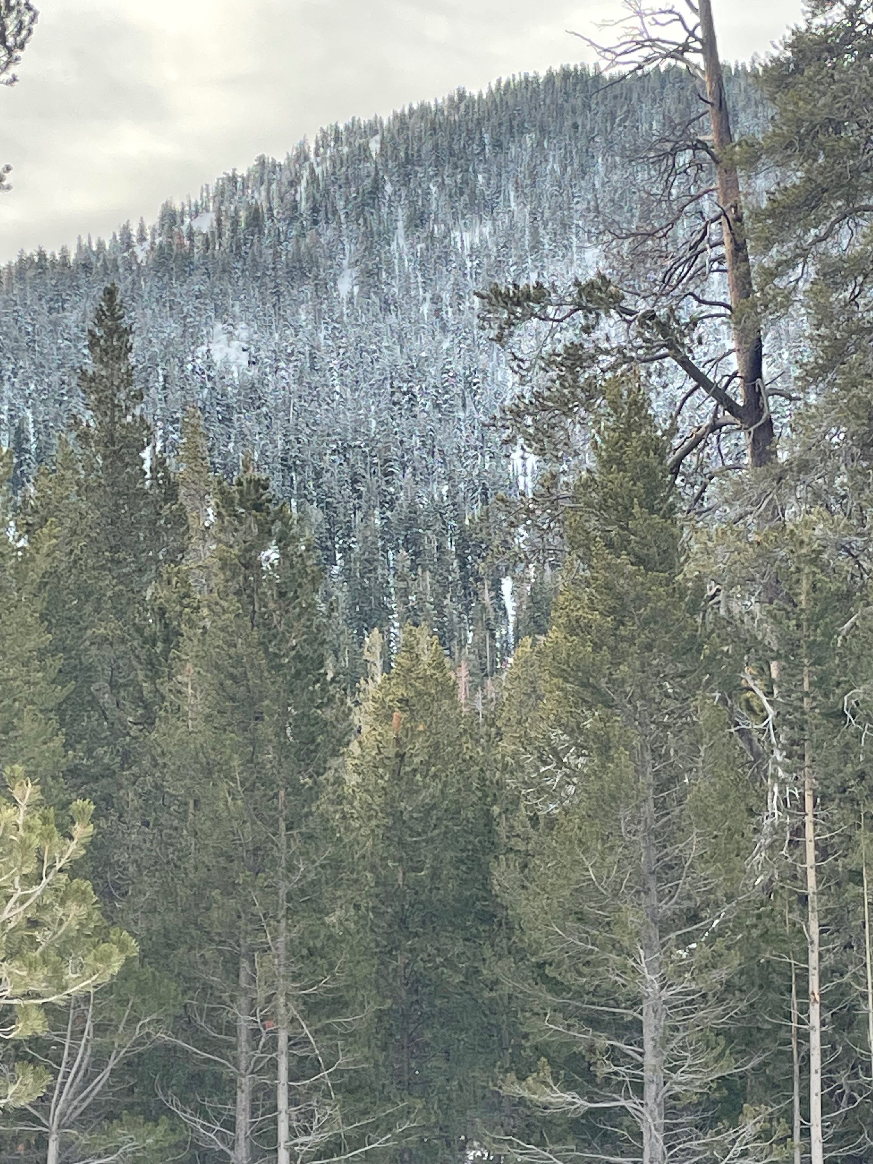
We hiked up Powderhouse peak today. From the parking area one could see the rain/snow line about mid mountian in the distance from the frosted tree line. The surface snow at the bottom was a widespread strong breakable ice crust from yesterdays weather event. As we climbed up there was rain runnels and icicles on the drip edges of the trees. As we continued to climb up the ice crust dissipated around 8500' and new snow was on the surface. Maybe a 1/2" at best at this elevation. As we continued to climb and got to near tree line terrain the wind really started to show itself. We observed blowing snow on the surface all the way to the summit. Once at the top we could see large banners of snow blowing off of Steven's peak and all the surrounding ridgelines connected to it. We were looking but did not observe any recent avalanches in the surrounding terrian within our vision. However, there was some low laying clouds that made areas flat light and slightly obstructed our views. At the summit (9300') there was ~8-10cm of new snow and actually rode better then expected on the way down. We were able to get some good turns in but looked for the end of the frosted trees to inform us when we were getting back into the hard surface crust below that 8500' line. Once we hit that elevation we really slowed down and used controlled turns within the crust to minnimize the potential of falling as the crust was grabby and not great for linking agressive turns in. Neither one of us hit anything below the surface on the way down all the way to the truck.
Weather
- Cloud Cover
- broken
- Wind Loading
- moderate
- Recent Snowfall
- 8-10cm
- Snow Avail For Transport
- moderate amounts
Down at Grass Lake temperatures were hovering right around freezing this morning when we got there at 0800. Winds down low were not present until we reached the ridgeline in near treeline terrain, there was a moderate to strong winds from the W-SW at these upper elevations. The cloud ceiling level dropped to around 9500' and was intermittently blocking the sun for short periods of time.
Snowpack
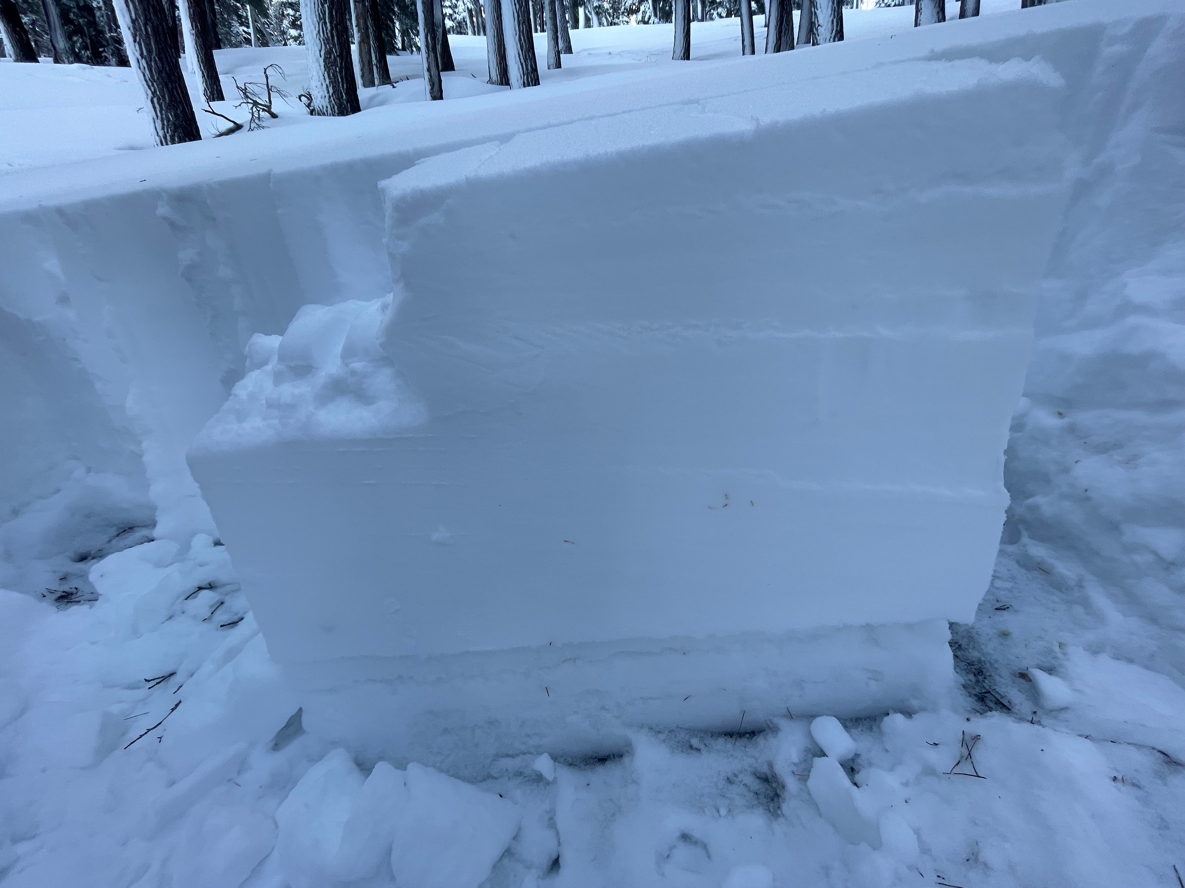
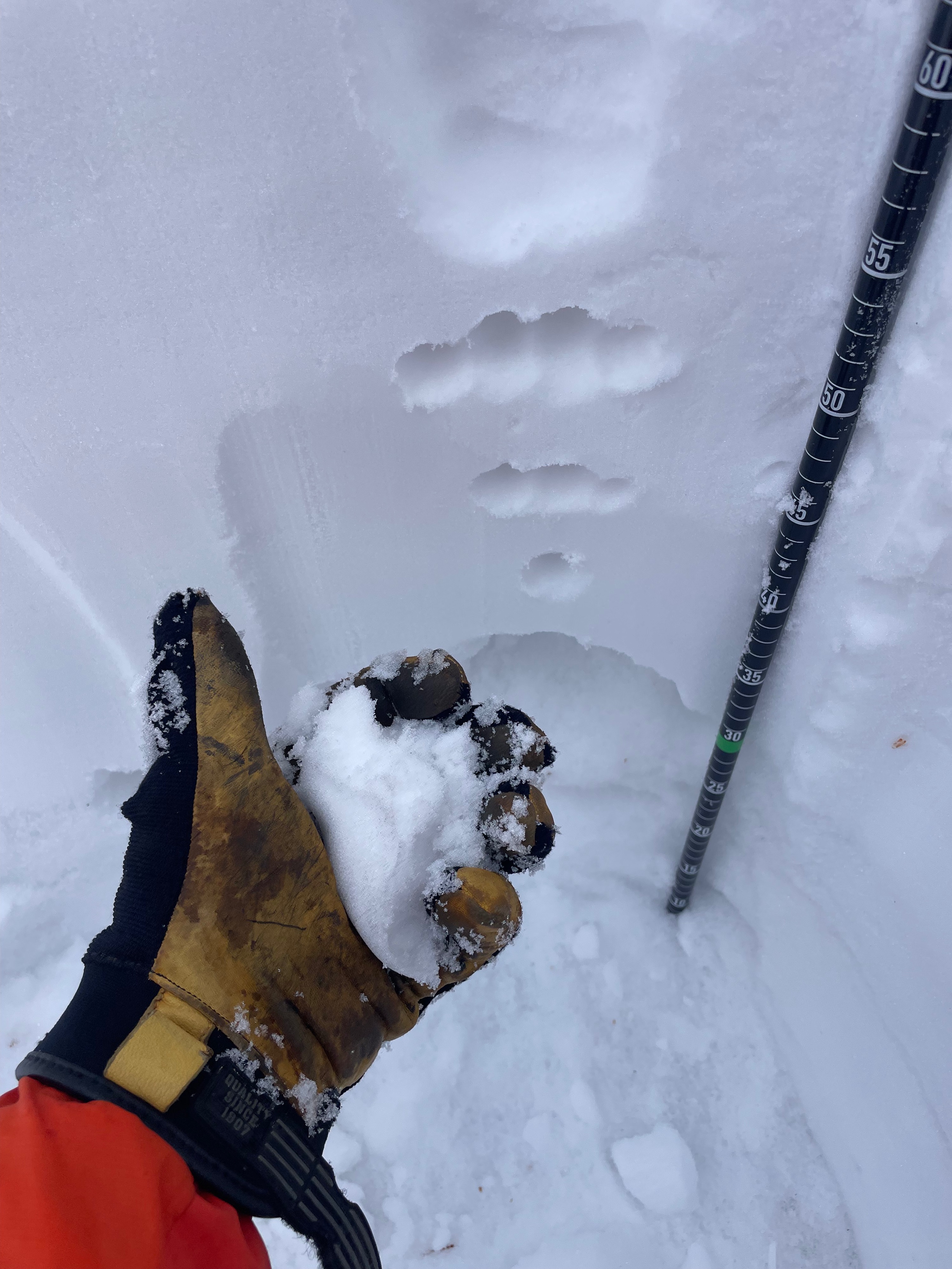
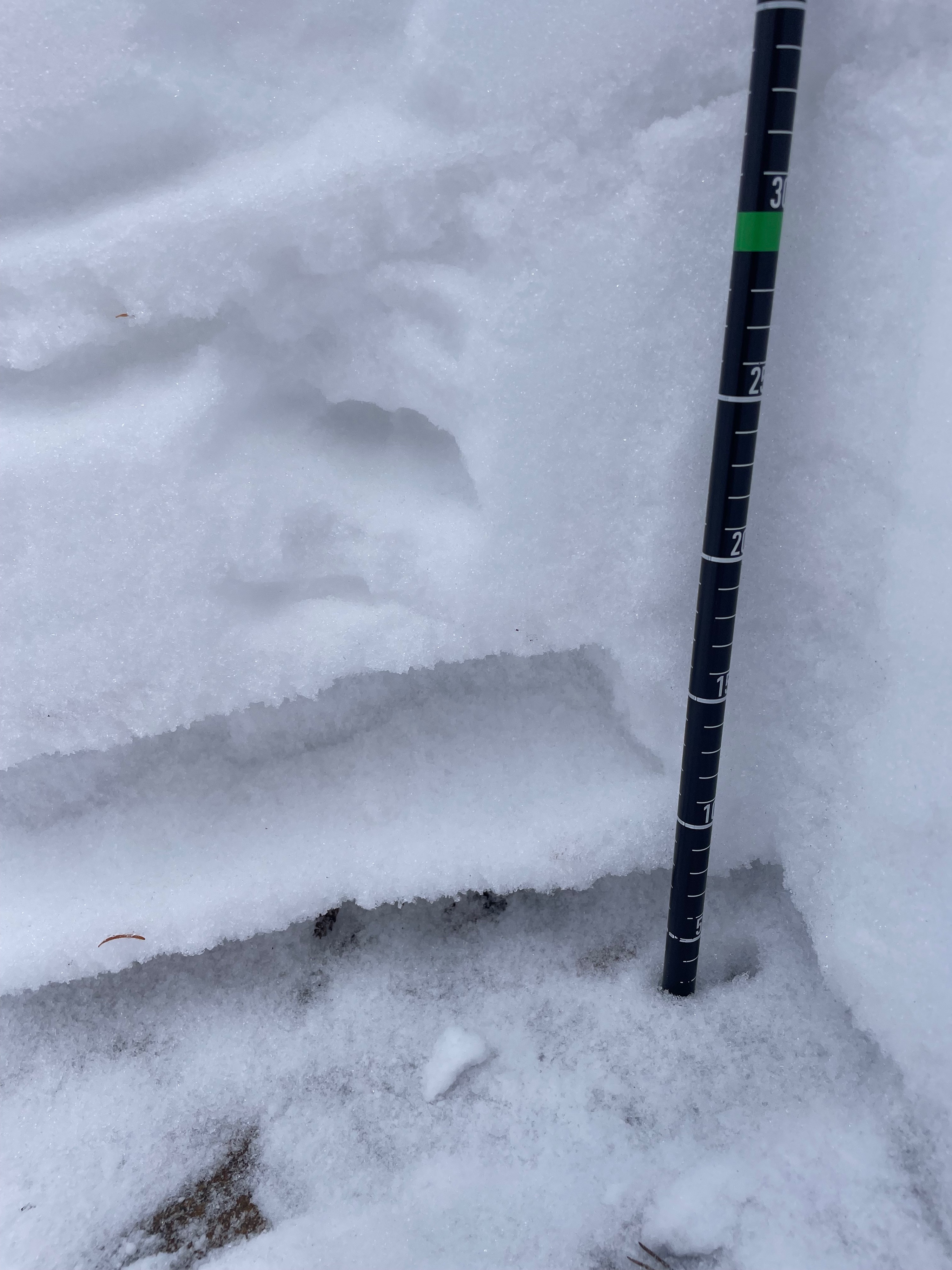
I dug three pits today intentionally looking at the PWLs within the snowpack. The first one was at 7800' on a NW aspect, HS was 70cm. On the surface was a strong but breakable rain crust 2-3cm thick. Below the surface crust the PWLs above and below the Mid-December rain crust has received water and is showing signs of gaining strength as both layers had wet compressible snow at this elevation. We climbed up until 8500', were the rain crust had faded away and new snow was now on the surface. We stopped and dug our pit on a NW aspect with an HS of 75cm. The PWLs had not received as much moisture and in fact the snow above the December rain crust was still weak not compressing in the hand. I performed a CT and got pretty clear results above the December rain crust. I moved to the ECT and did not get propagation within the normal test taps but it did fail with a few more hard taps after #30, still showing signs of weakness within the Jan.2 layer. Moving on up to 9000' we stopped on a NW aspect, HS was 115cm. The PWLs in this pit were still very weak and non-compressible. The basal facets were still large and very sugary. I decided to try a ECT despite pushing the maxium height for the test and got no propagation at all so, I decided to do a deep tap test on the basal facet layer. The test failed on tap 21 with clear collapse on this layer.