
Quick report
- Cracking
- isolated
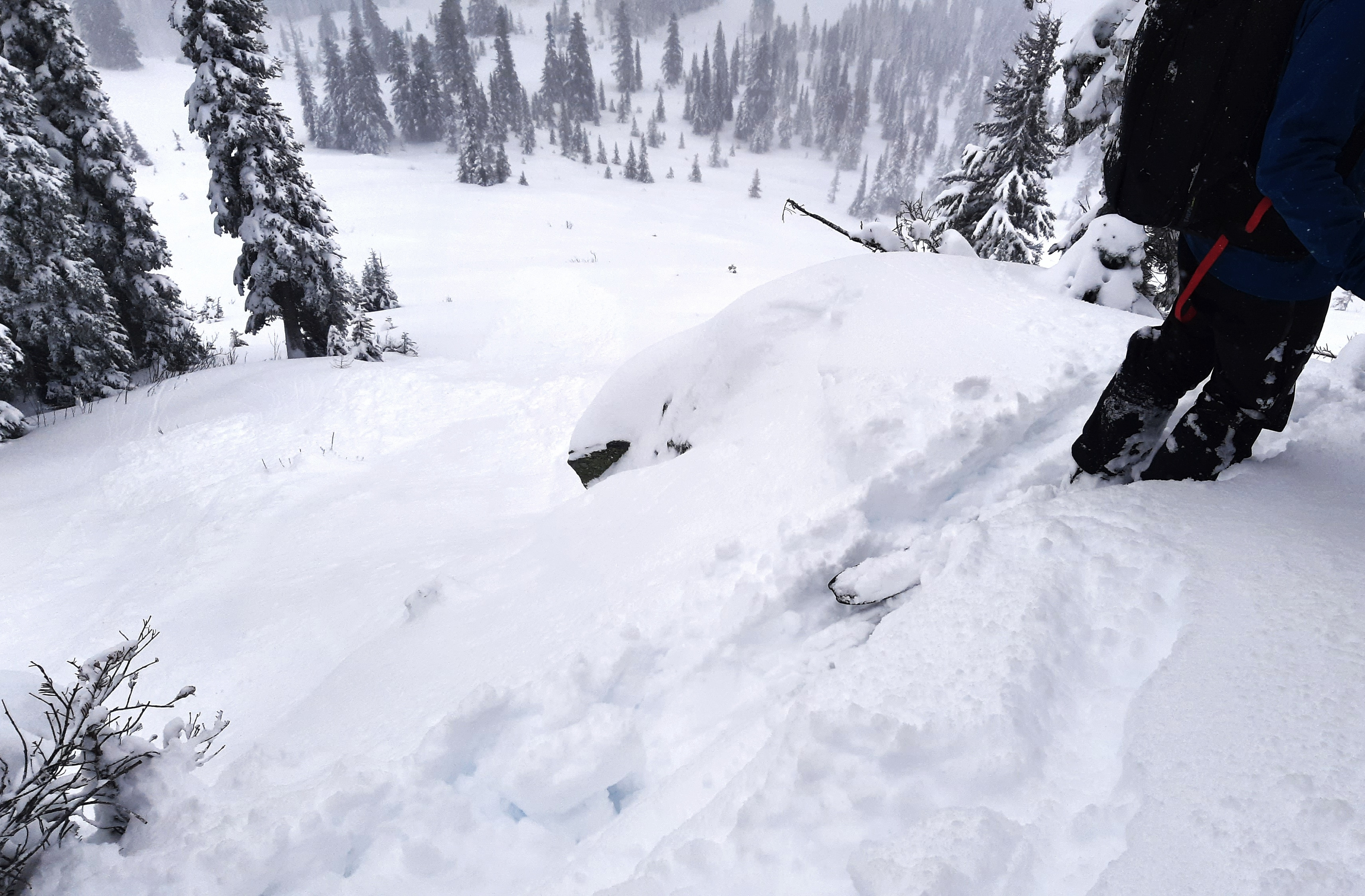
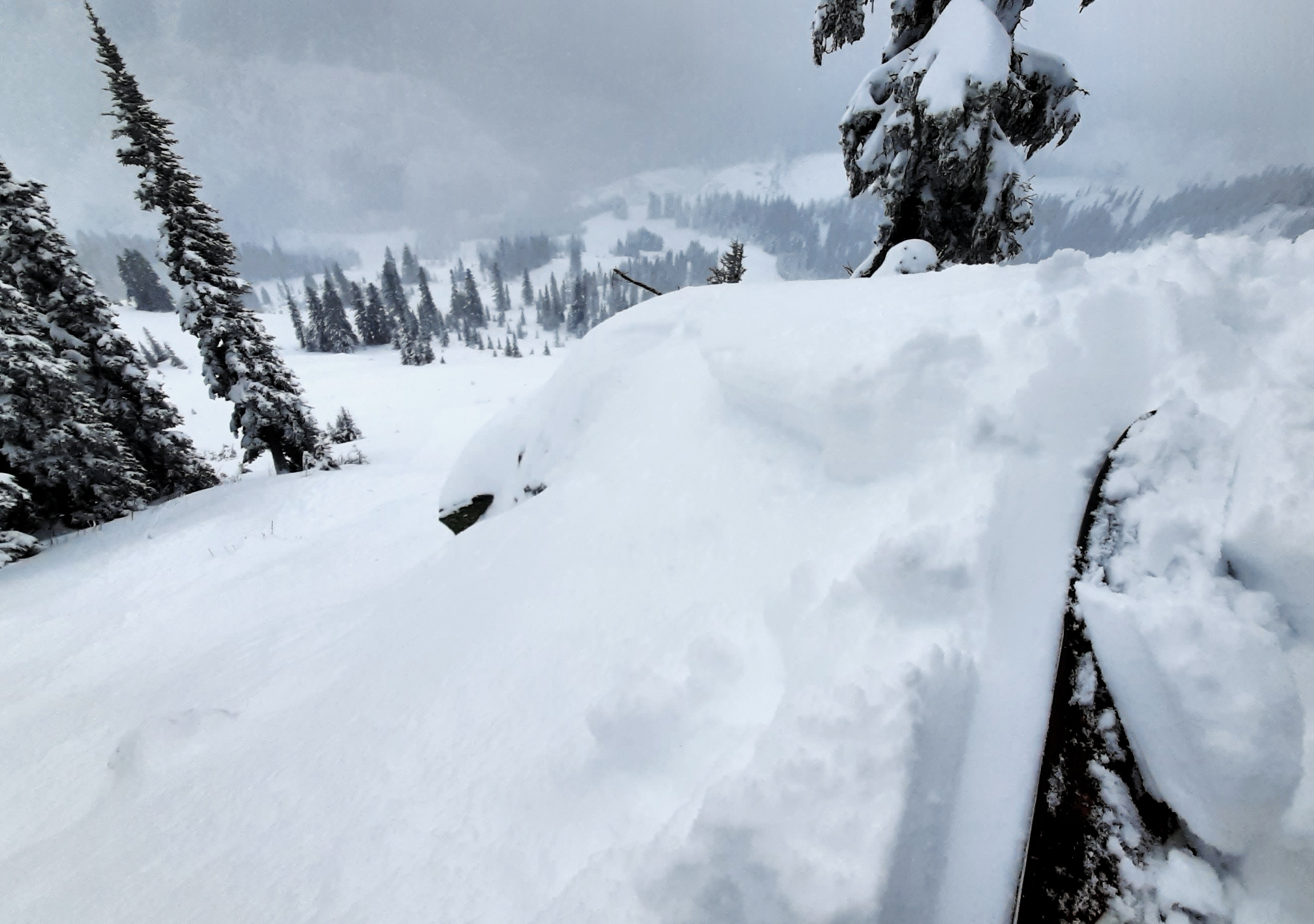
Instability was only in wind-loaded areas. On sheltered slopes, the storm snow was unreactive.
Weather
- Cloud Cover
- broken
- Wind Loading
- moderate
- Recent Snowfall
- 45
- Snow Avail For Transport
- moderate amounts
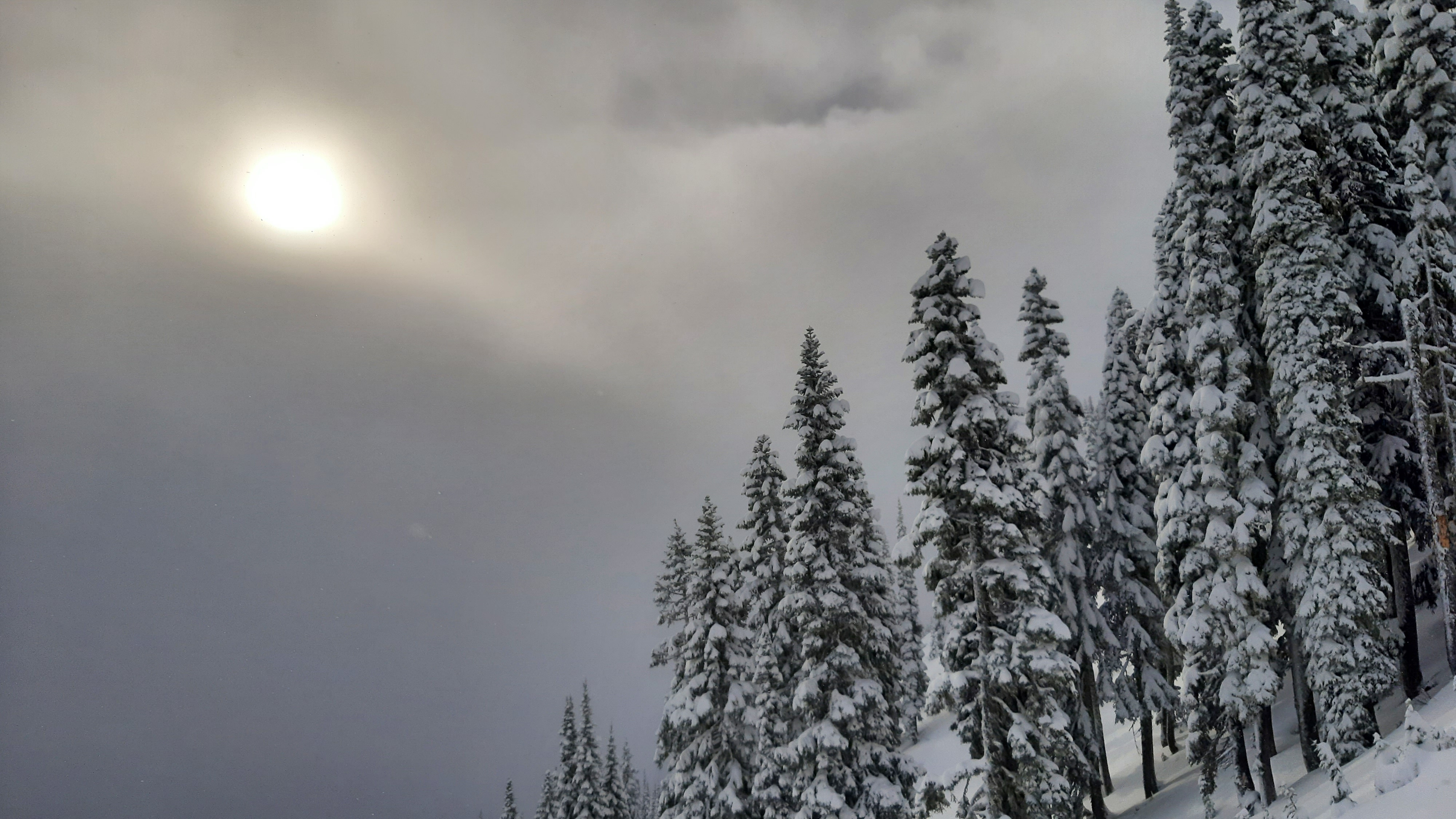
In the AM: Moderate S2 snowfall becoming light, S1. Obscured skies with low clouds. Light west winds with moderate to strong gusts. Moderate wind loading. 12p: No precip. Broken, thin clouds. Moderate west winds with strong gusts. Temperatures remained below freezing at 5,000ft.
Snowpack
Storm snow was well-bonded ton old (12/7) interface. Storm snow (HST) varied with elevation and exposure to wind. At 5,550ft HST ~50cm with more in deeper drifts. Below 4,700ft, the lower part of the storm snow was moist.
At 5480ft: HST 52cm. ↓0-32 F hard, dry storm snow. ↓32-52cm F+ hard, dry storm snow. 52-53cm: 12/7 interface, K hard, frozen crust. 53-58cm 1F+ hard moist melt forms.
At 4,620ft, SE: HST 46cm. ↓0-10cm: F hard, dry storm snow, ↓10-11cm: 4F hard, dry snow, 11-30cm: F hard, dry snow. ↓30cm: very thin, P hard crust. ↓31-46cm: 4F-1F progressively hard, moist 12/7 storm snow. ↓46-47cm: P hard, 12/7 crust, semi-frozen. ↓47-55cm: 1F+ hard, Moist to wet, unfrozen snow
Avalanche
- Size
- D1
- Type
- SS
- Aspect
- SE
- Trigger
- AS
- Elevation
- 5400 ft
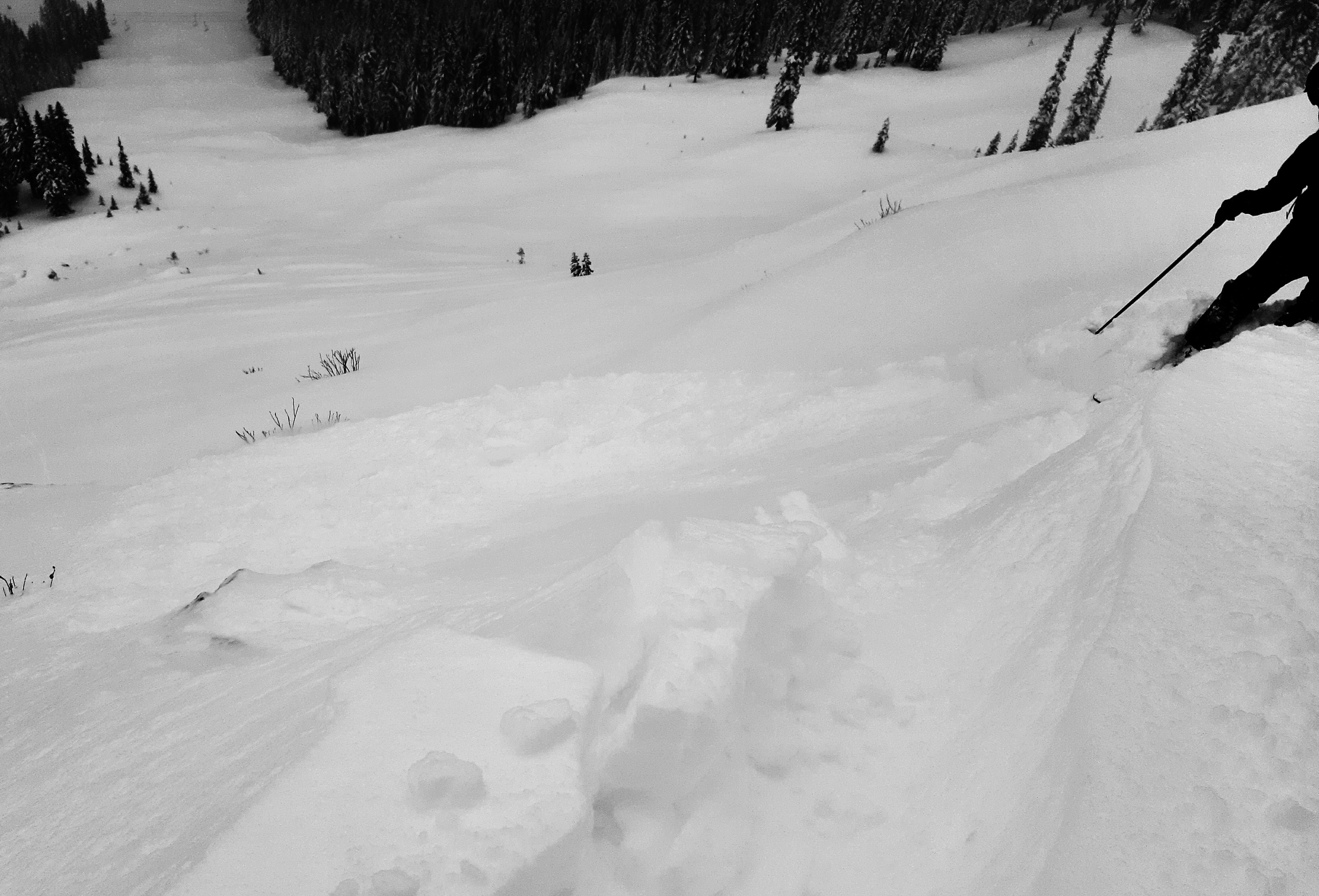
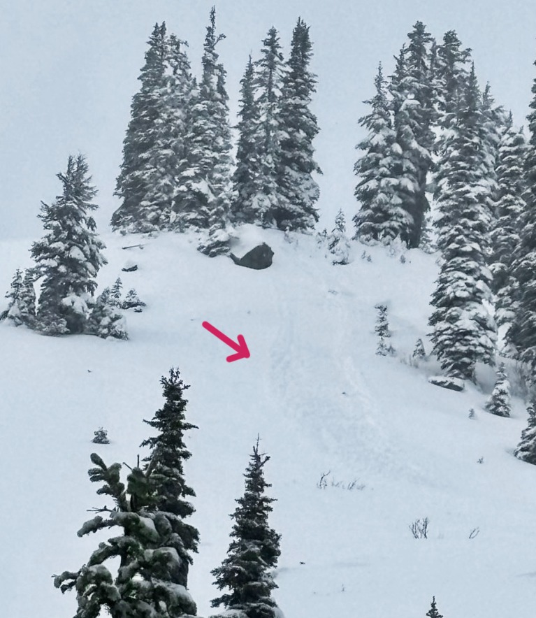
D1 skier triggered wind slab avalanches x2. 5,400ft, SE