
Quick report
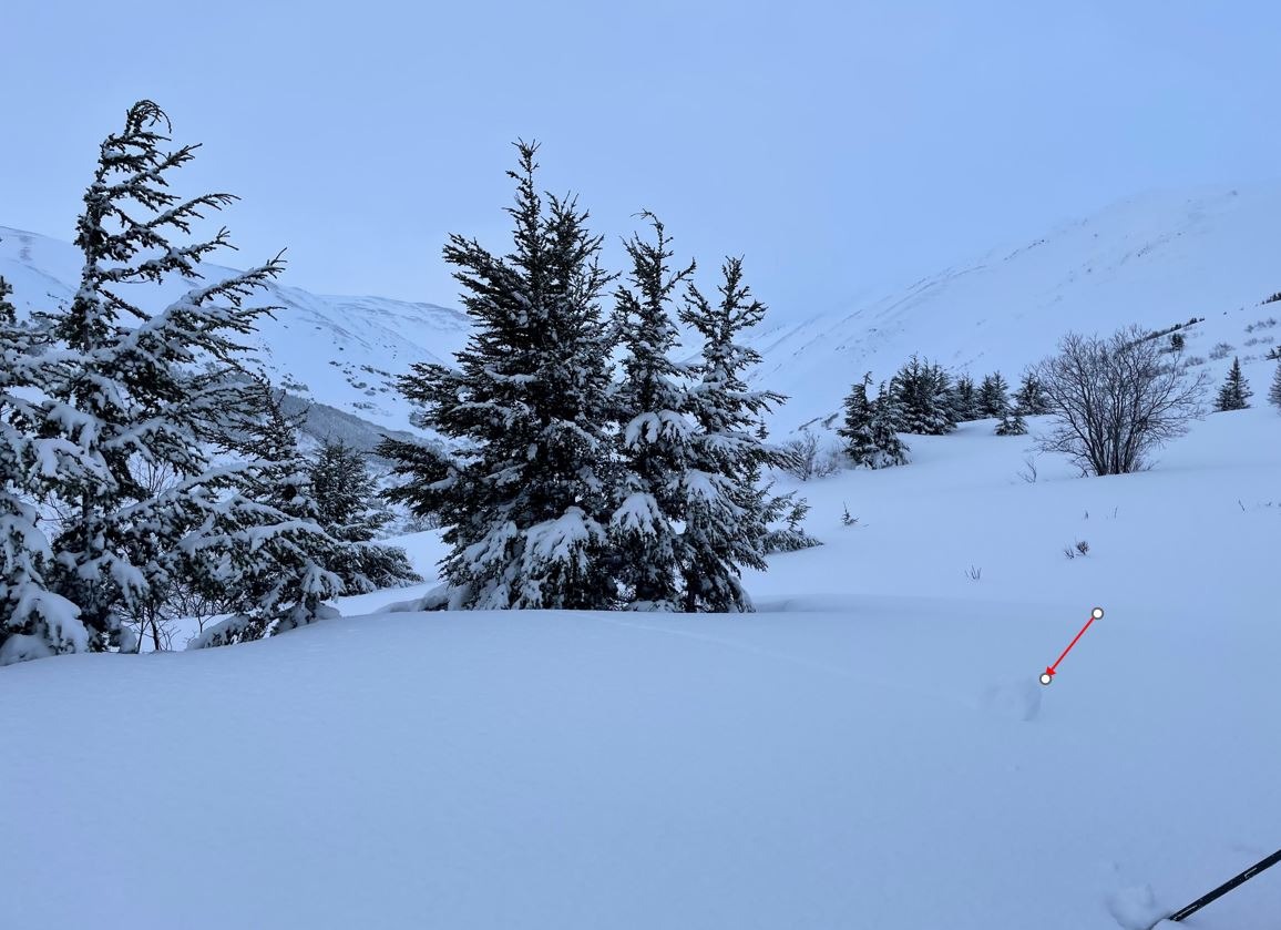
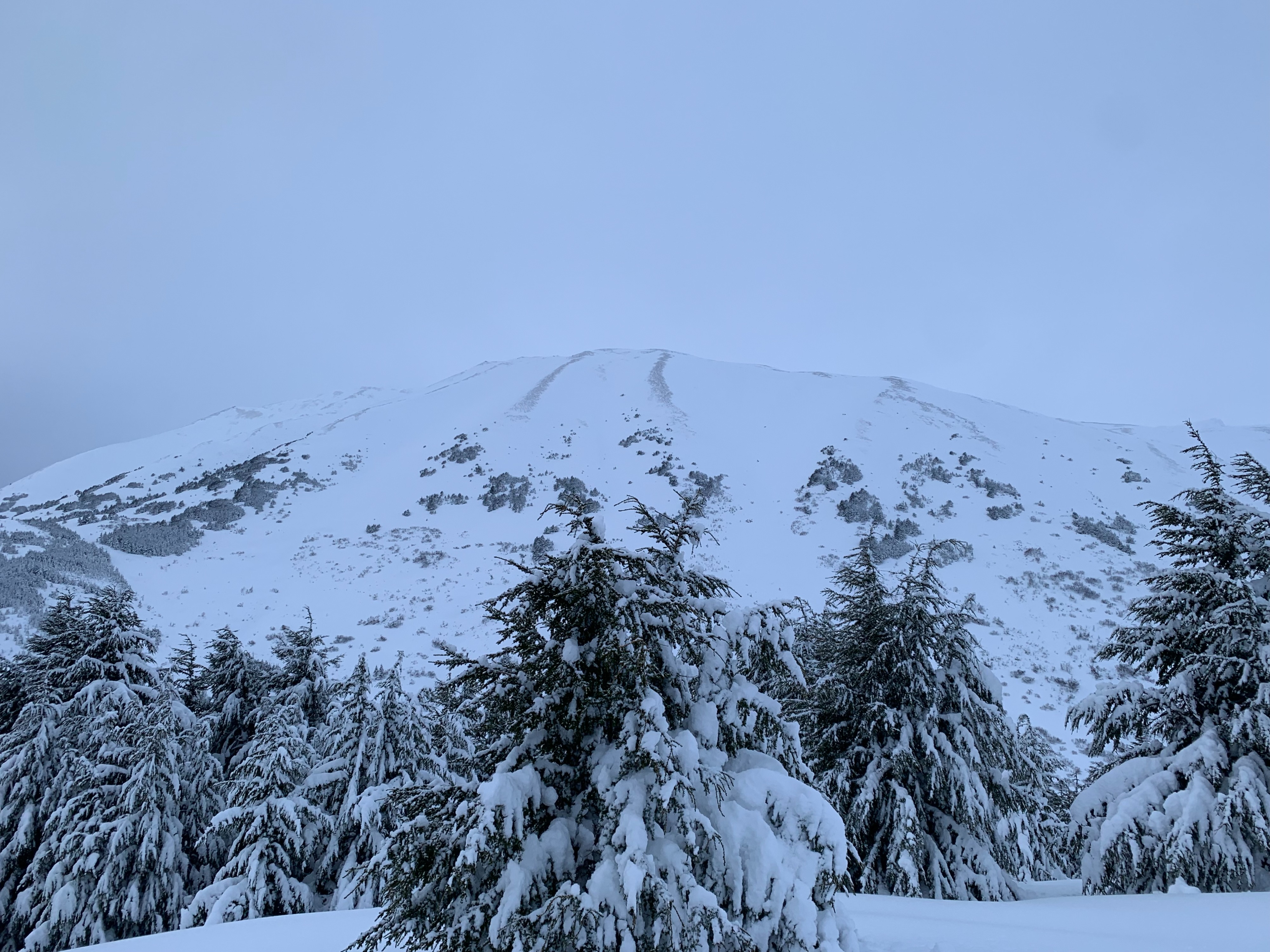
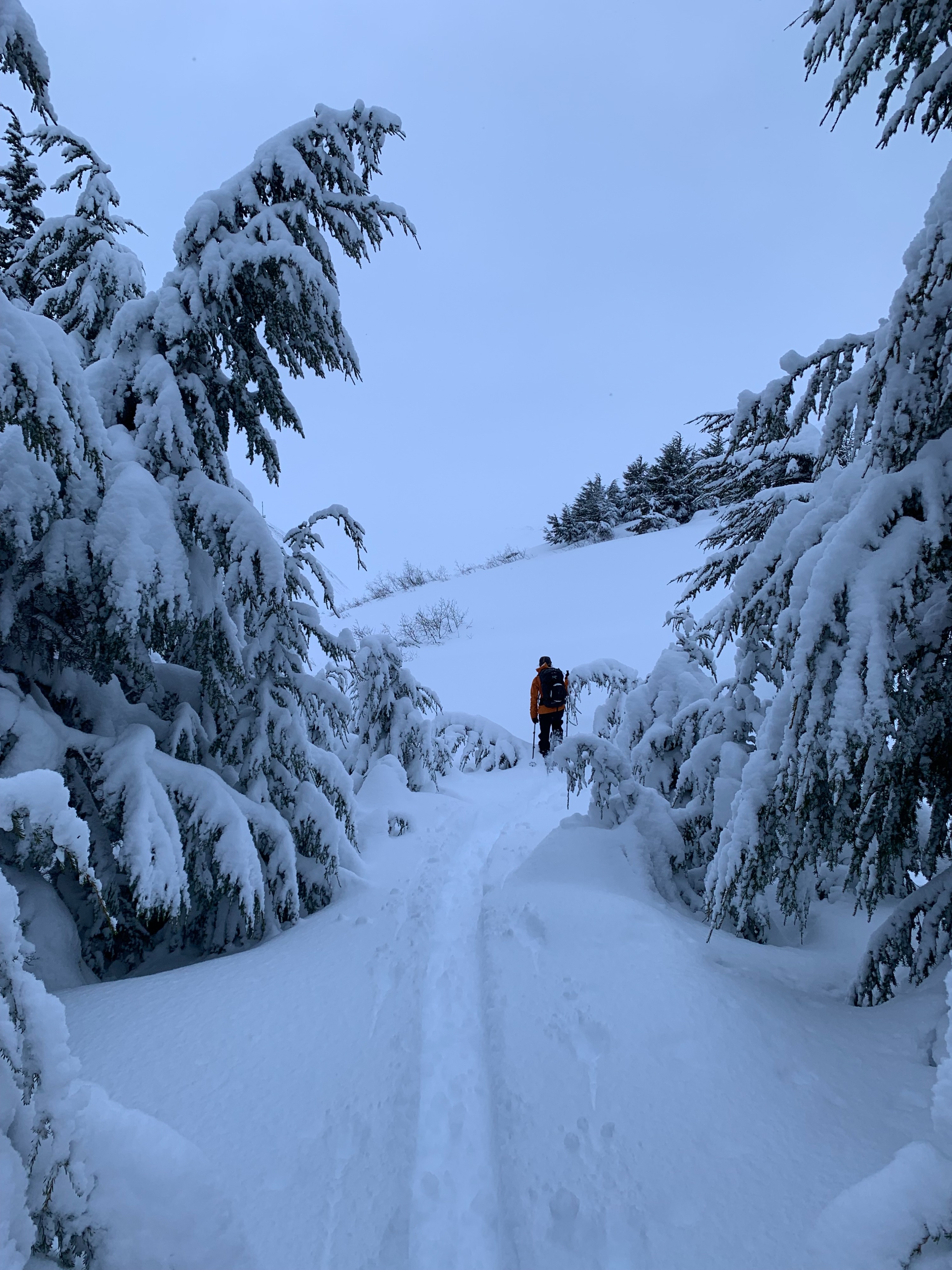
We toured up Fresno with the plan of assessing how the mountains in the Summit Lake zone are adjusting to the 3ft+ of new snow and very strong (160mph gust at the AK railroad Mile 43 station!) winds that occured yesterday. We found sticky powder at low elevations and greatly improving coverage up higher with 3-4ft of new snow between the two large storms in the last week. We dug a pit at 2300' on a SE aspect where we found concerning structure which we believe to be the culprit in many of the large and very large avalanches that have occured over the past few days. We found great skiing in elevations above 1800' and sticky powder with a surface crust below 1800' to the car.
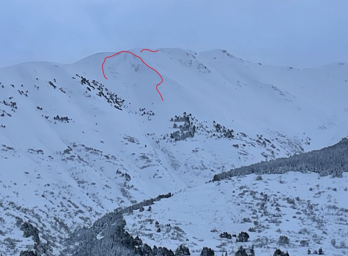
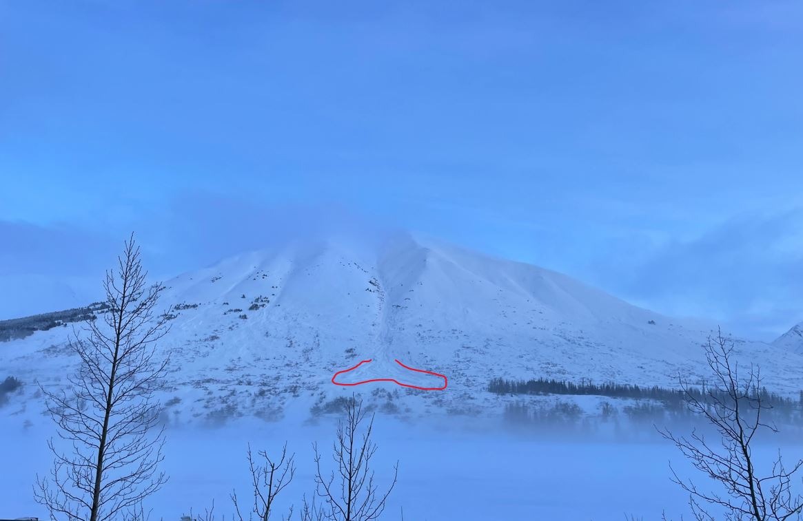
Observed evidence of large to very large avalanches that occured during the Sunday storm bonanza on most mountains along the road between Anchorage and Summit. Many ran to or near to valley bottoms.Weather
- Air Temp
- 32
- Cloud Cover
- overcast
- Wind Loading
- previous
- Snow Avail For Transport
- moderate amounts
On and off light snowfall through the late morning into the afternoon where clouds began to break around 3:30pm. Winds were calm and temps were warm.
Snowpack
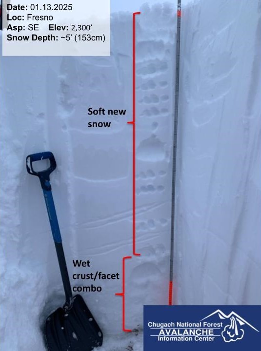
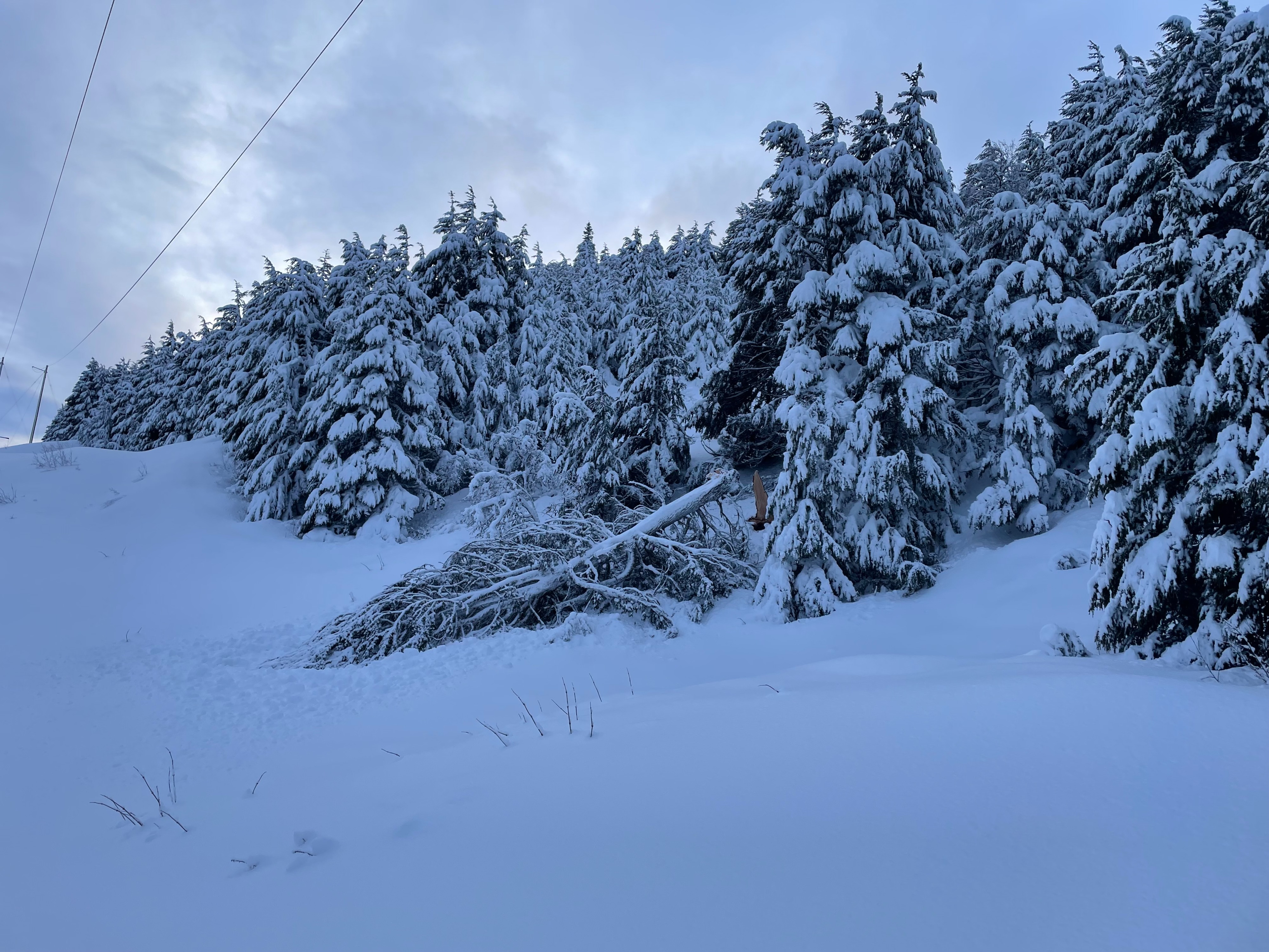
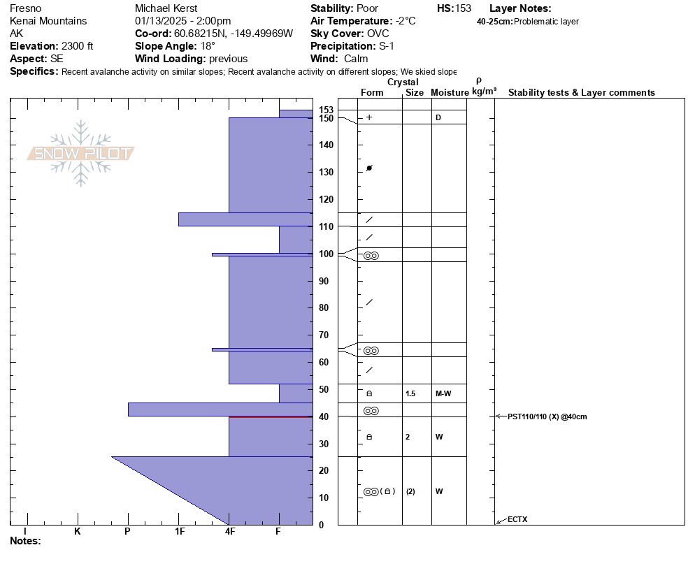
We were excited to find 1-1.5ft of fresh snow at lower elevations, and 2+ above 1800' from yesterdays storm. The new snow was overall moist with a breakable crust on the surface below 1800'. The new snow dried out a bit more above 2000'. In more exposed areas the snow surface was wind affected and firmer. We dug a pit at 2300' on a SE aspect where we found a snowpack with ~4ft of new snow (this includes the storm snow from 1/6) on top of a crust facet sandwich. Though we did not find concerning results in our pit, the massive load of new snow on top of the weaker snow from earlier in the season is a concerning setup that we are seeing produce large natural avalanches. The mountains have experienced a lot of change quickly over this past week and need time to adjust.
The good news is the weak layers in the snowpack at this elevation (2300') were moist-wet and slowly gaining strength, yet this is a long process.
Avalanche
- Size
- D2.5
- Count
- 2
- Aspect
- E
- Trigger
- N
- Elevation
- 3500 ft
Many large to very large avalanches on Summit Peak X3 (east facing), Templeton (west facing), Fresno (east facing), Raven's Ridge X2 (sw facing). Visibility was in and out so difficult to see start zones. These all started in the 3,500'-4,000' elevation band.