
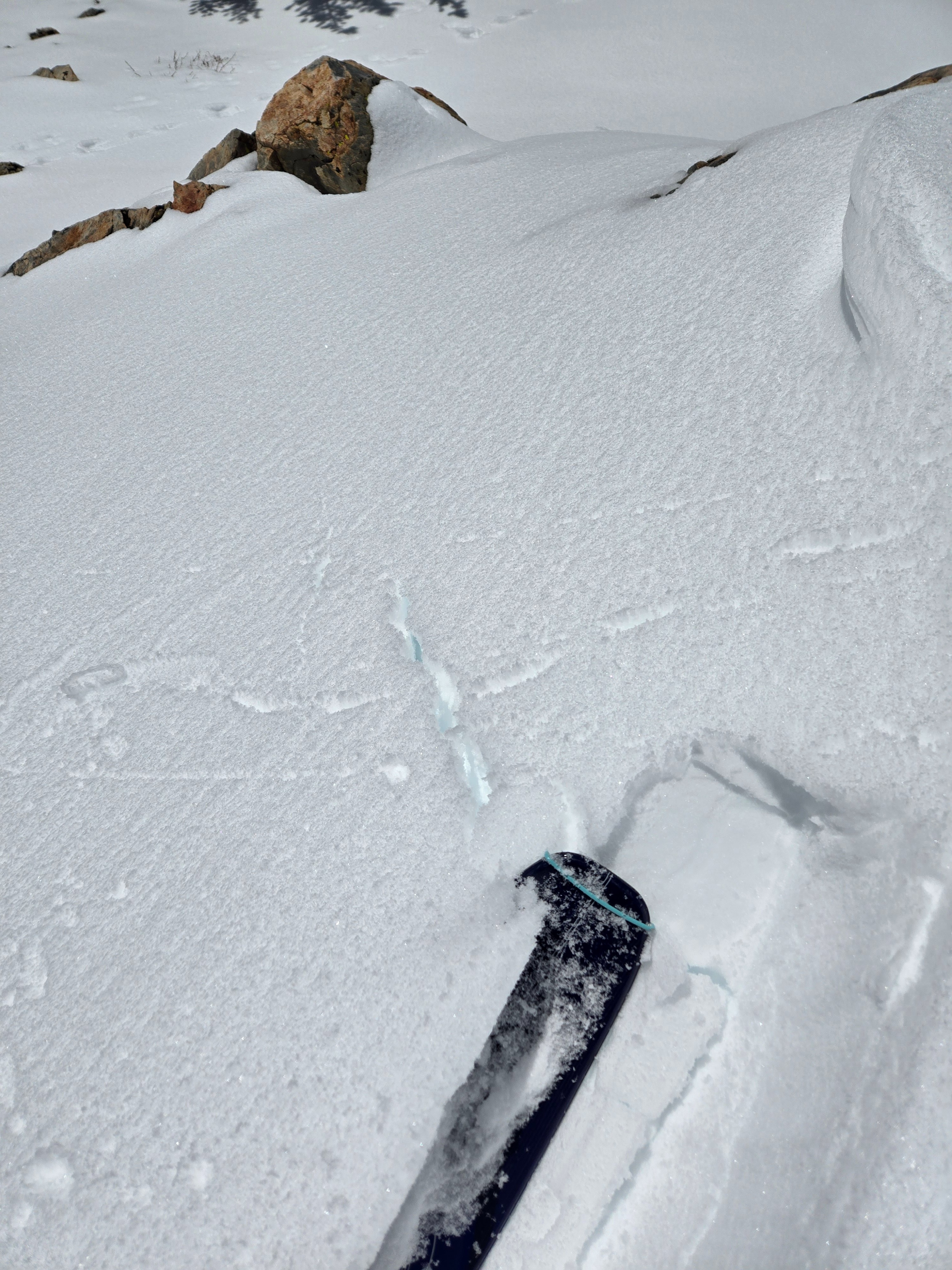
Quick report
- Cracking
- isolated
We traversed multiple aspects in the June Backcountry to track warming and test wind slabs.
Stability:
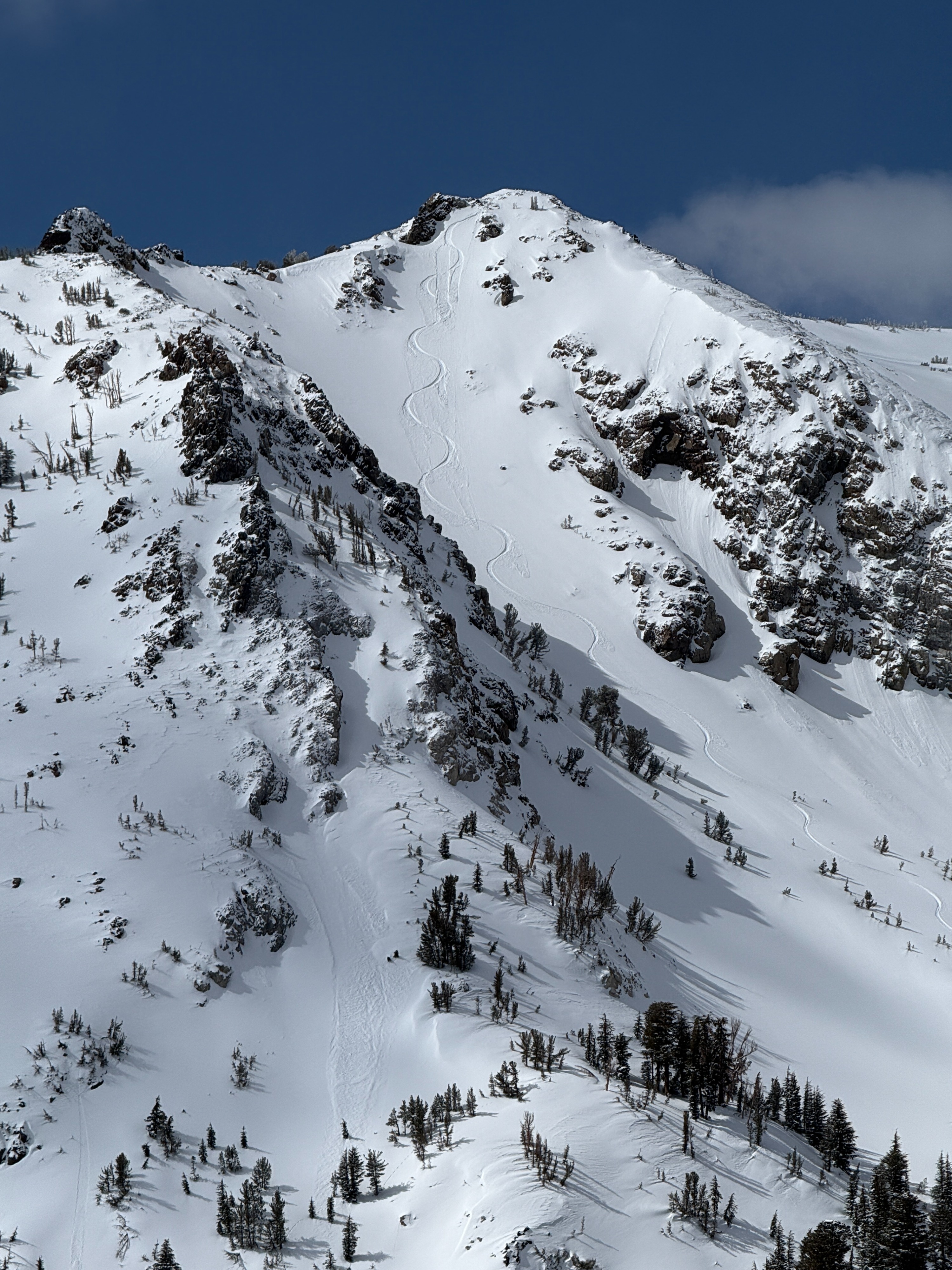
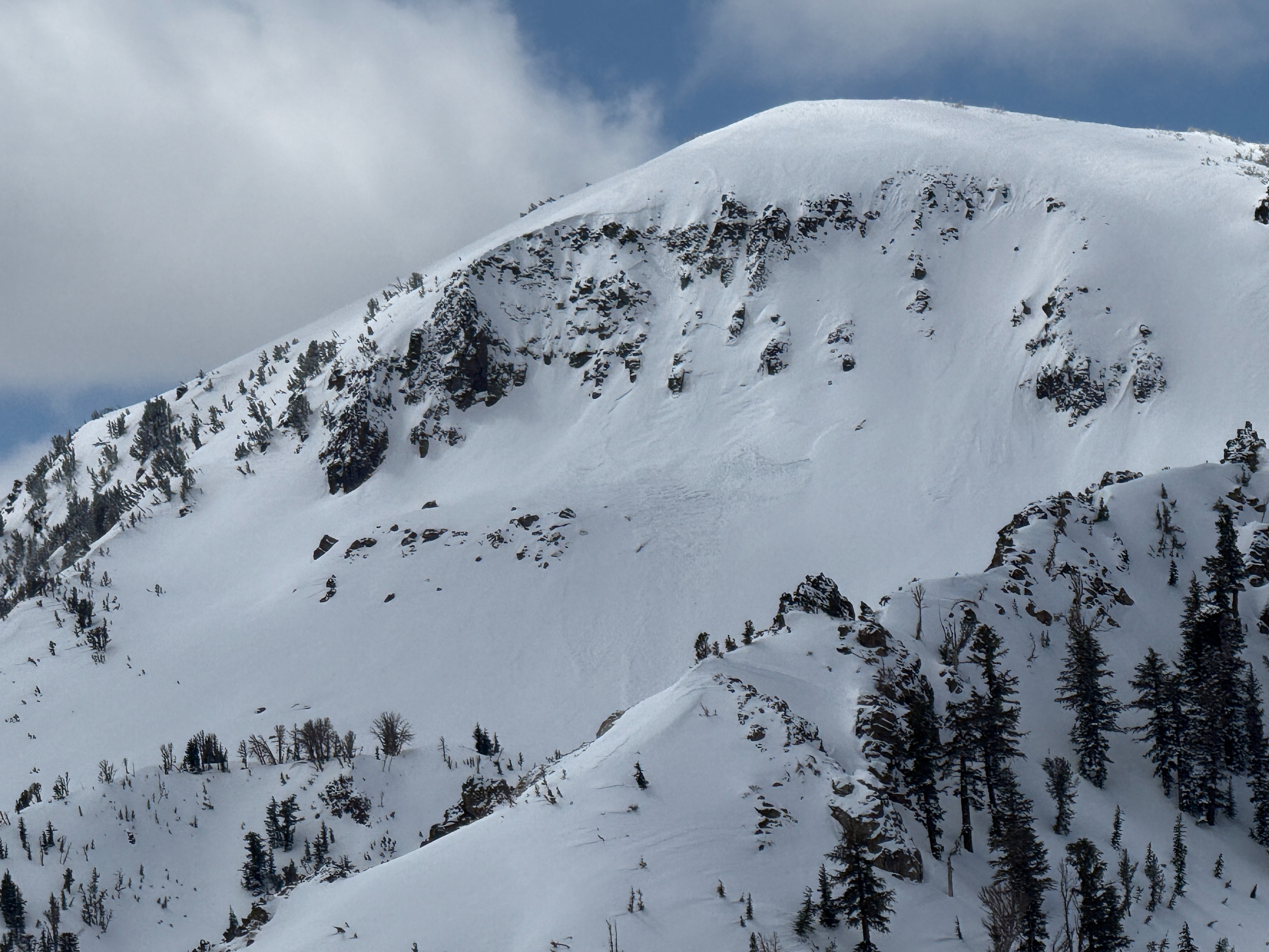
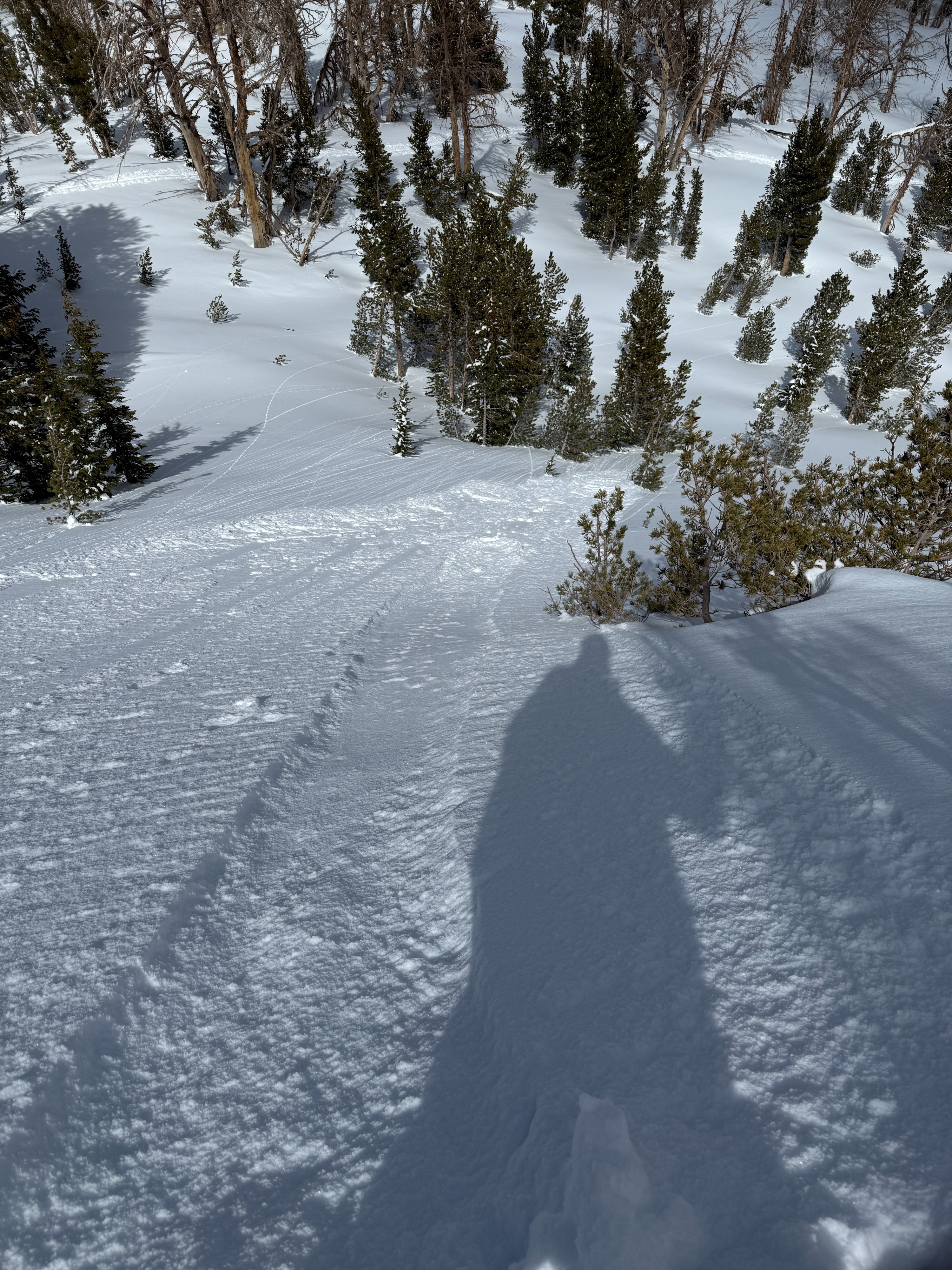
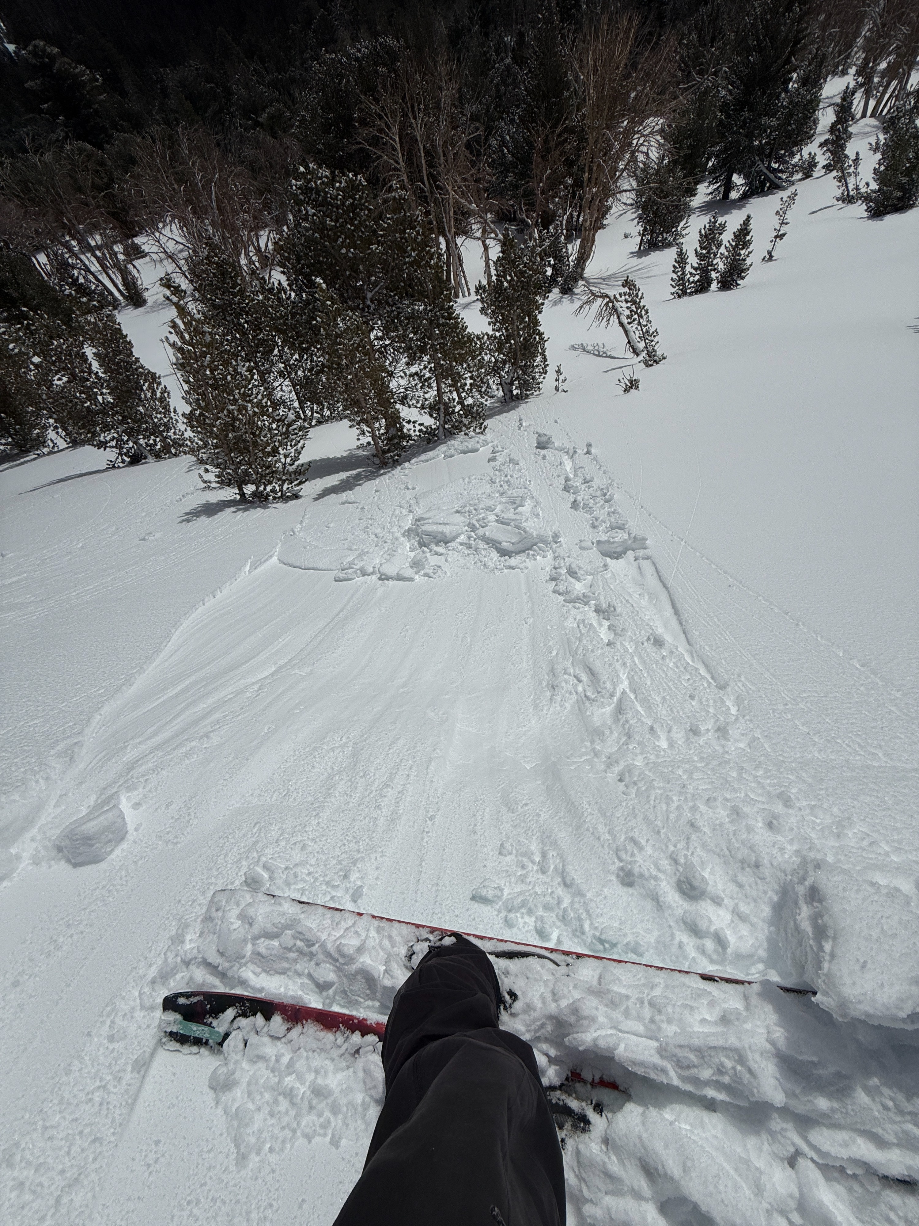
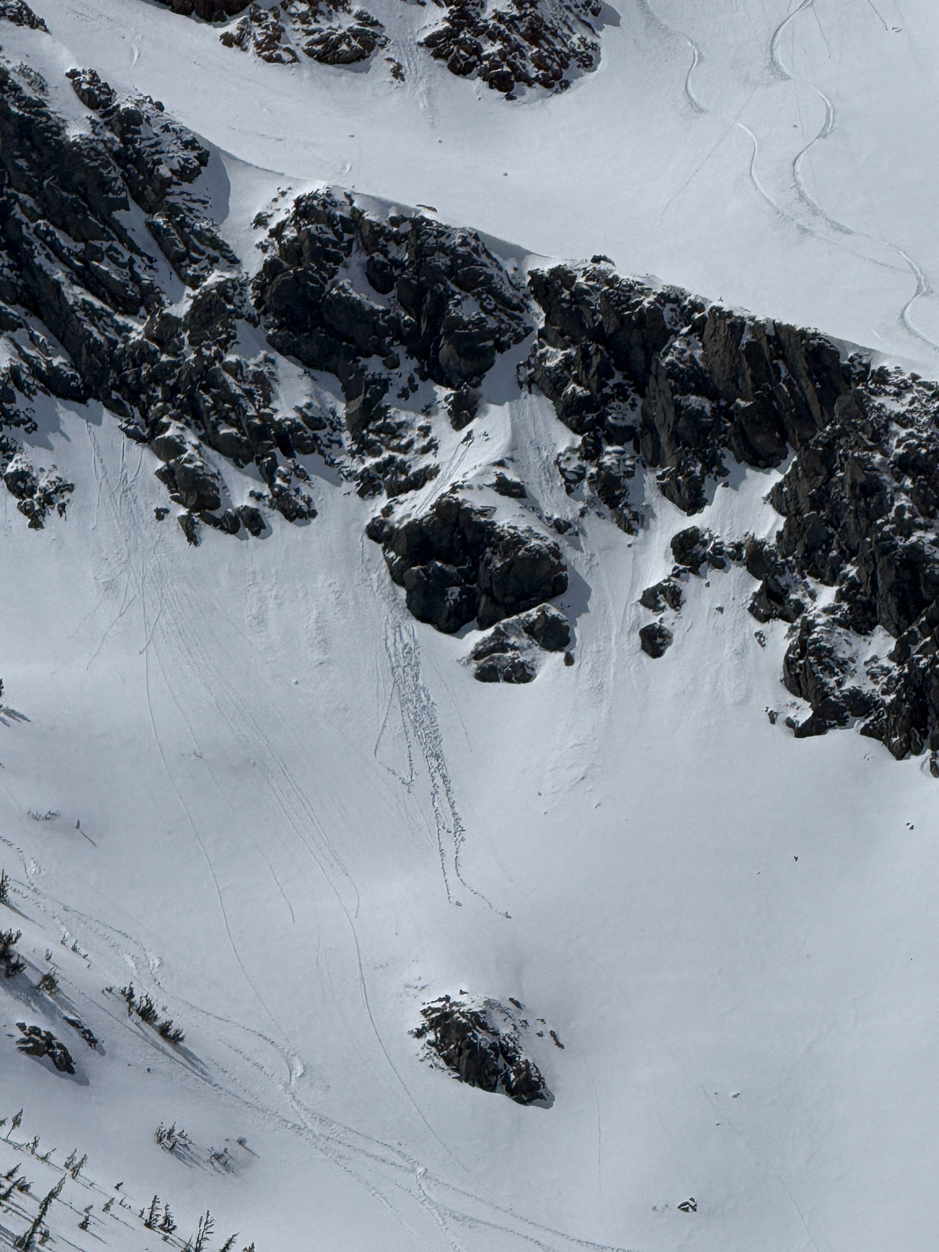
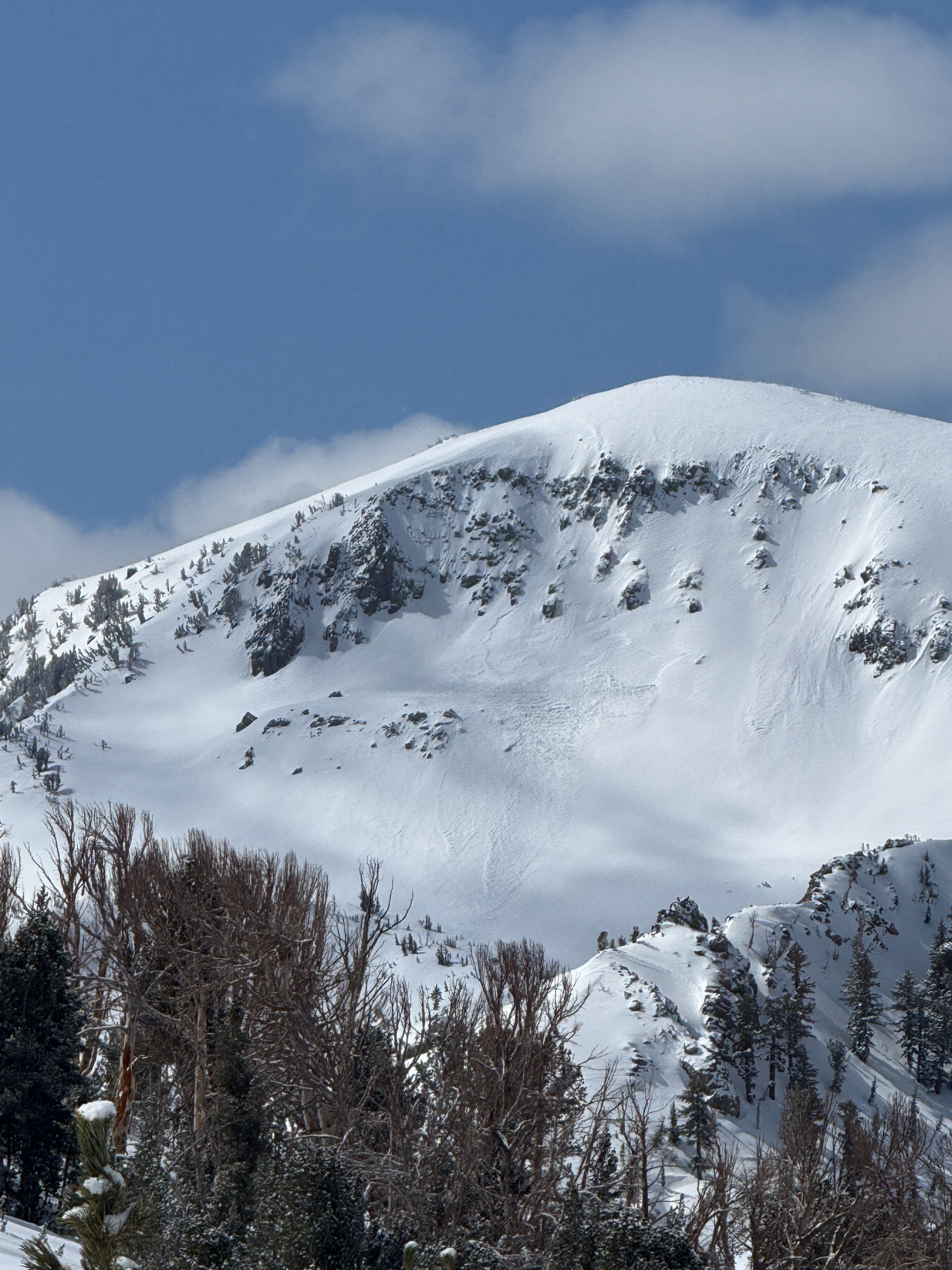
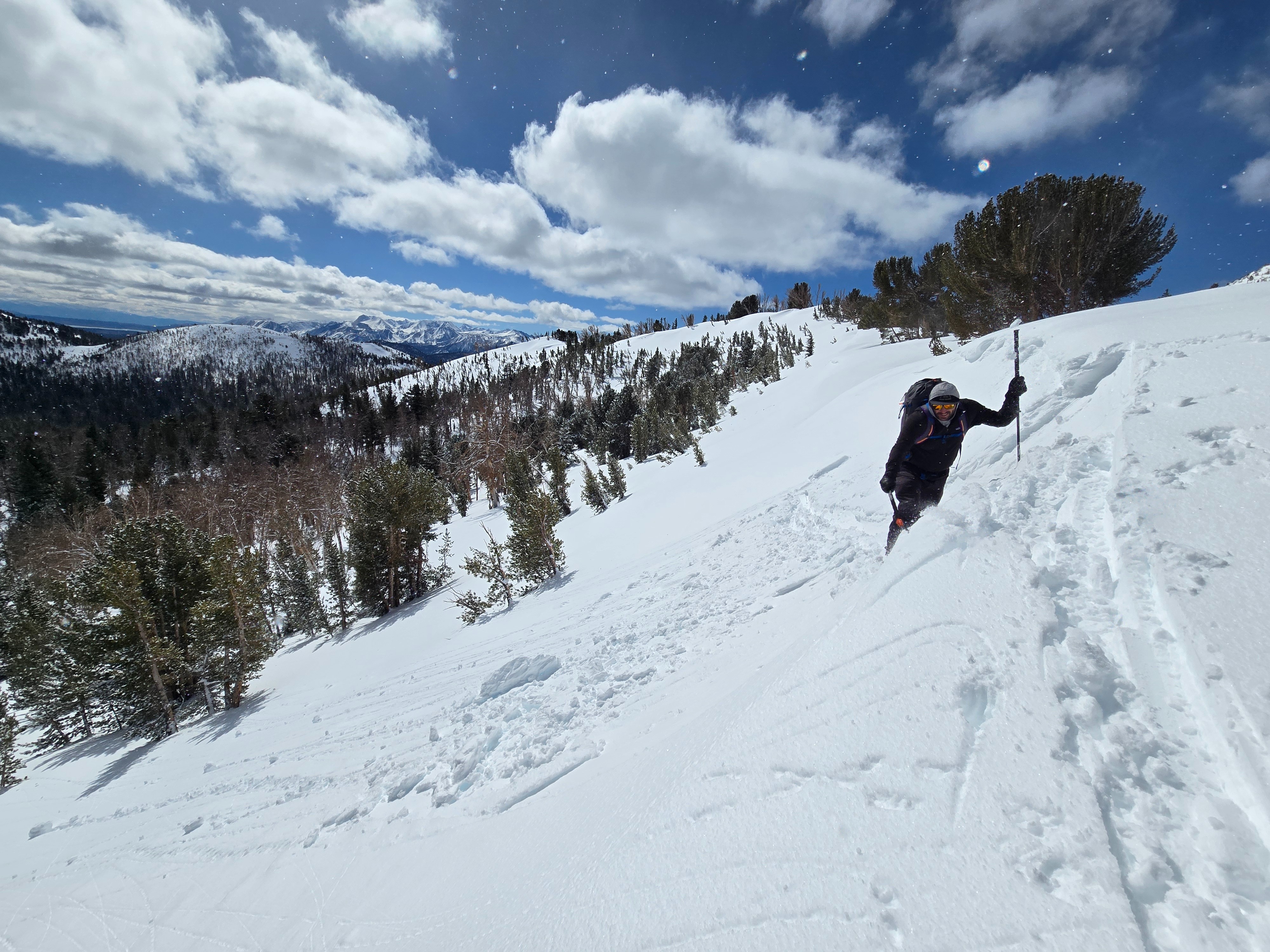
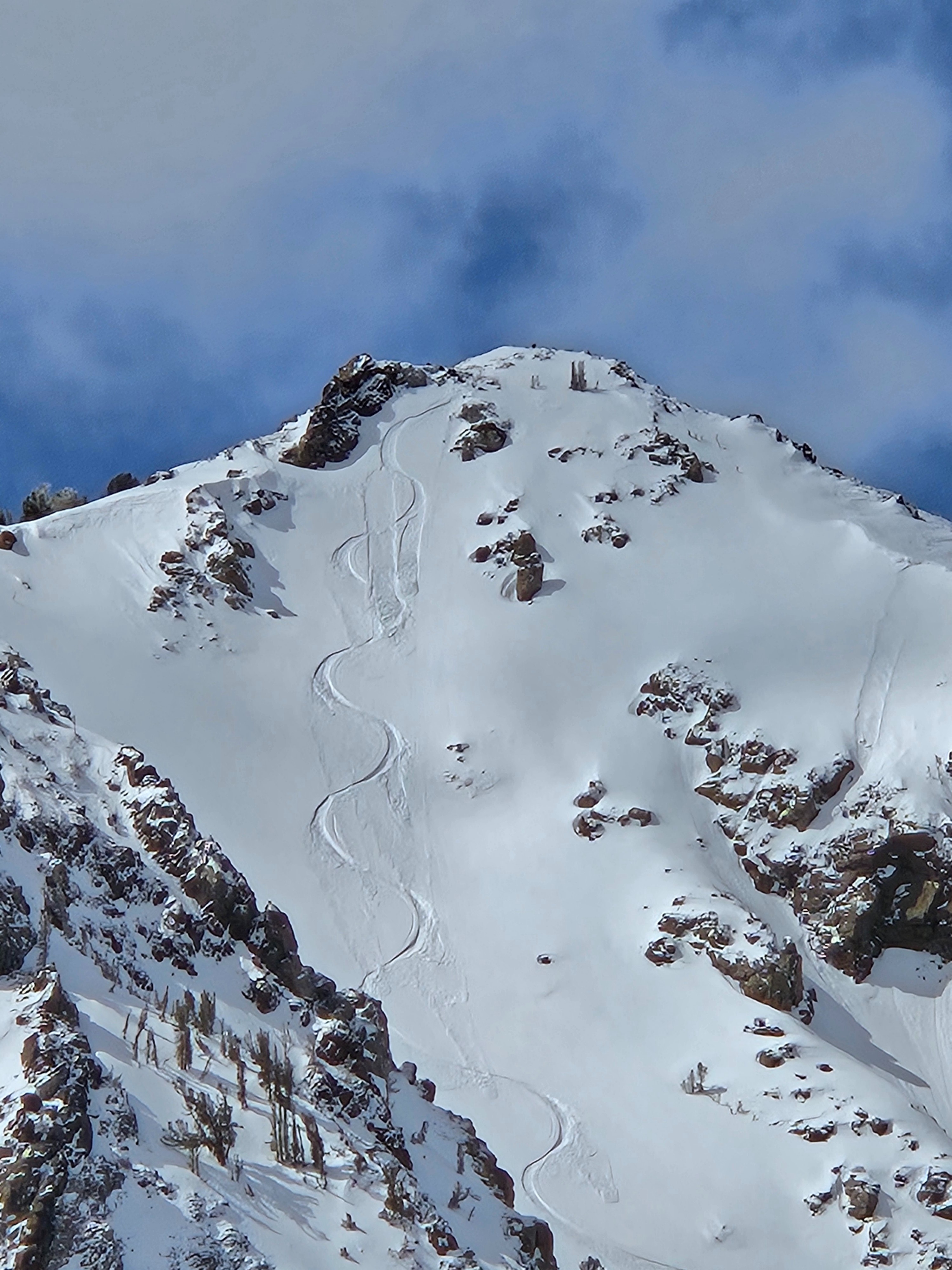
- We saw small natural rollerballs near and below treeline on east and southeast slopes. We intentionally triggered three small wet loose avalanches on an east aspect at 9700 before 11 am. We got isolated, local cracking in wind slabs. We saw very small natural and skier-triggered dry loose sluffs on northerly slopes near and above treeline. There were many tracks on north, northeast, east, and southeast aspects at all elevations, with not much more than small and isolated sluffs as the only signs of instability.
Snowpack:
- Wind slabs were up to 50 cm thick soft slabs not propagating in ECTs (see snowpack photo). The top 5 cm transitioned from dry snow to moist on solar aspects near and below treeline. There was a short window before the surface refroze into a 1 cm thick crust. There is a thick, hard melt-freeze crust under most recent storm snow down 5-15 cm on windward aspects, down 30-55 cm on east to north aspects.
Weather
- Air Temp
- 20s to 30s
- Cloud Cover
- scattered
- Wind Loading
- none
- Recent Snowfall
- 5-50
- Snow Avail For Transport
- large amounts
Partly cloudy skies, light northeast wind, and below-freezing temps (at least NTL/ATL). Clouds increasing over the crest to the west in the afternoon with isolated showers.