
Quick report
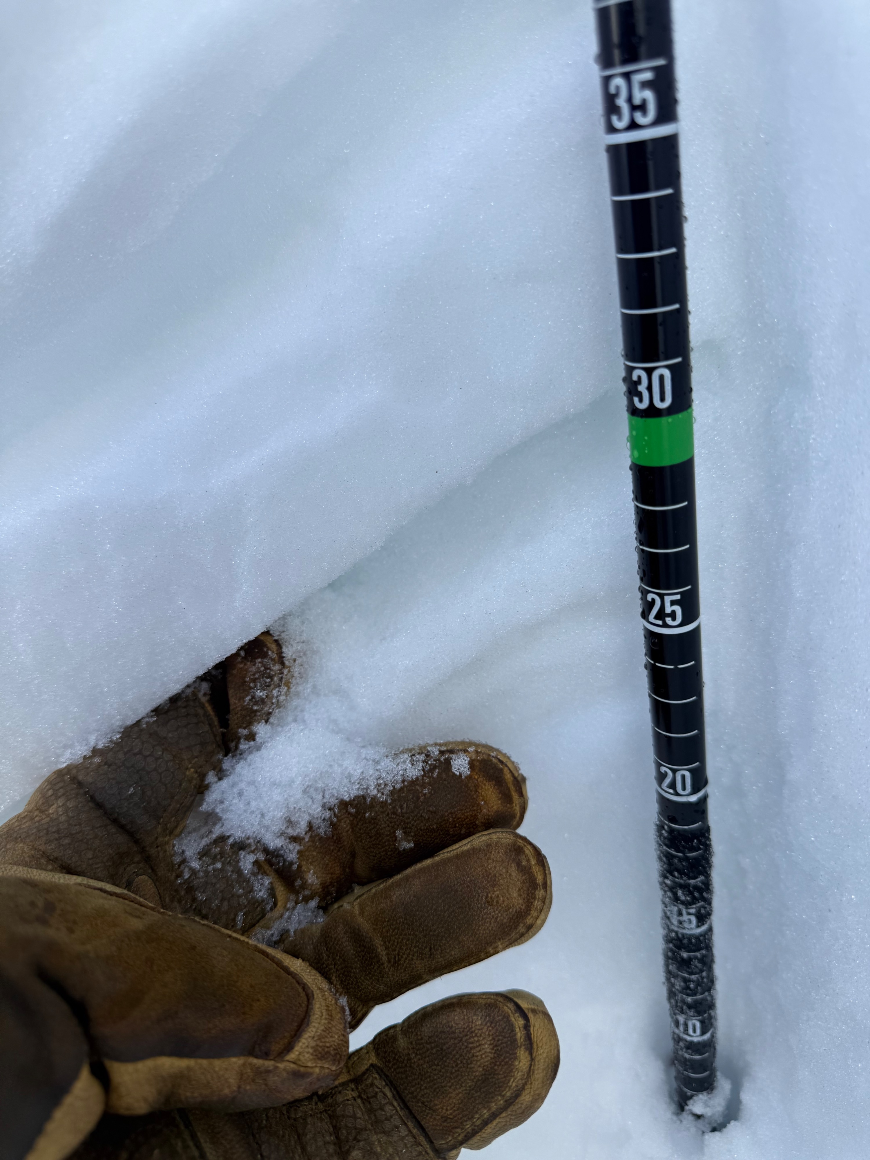
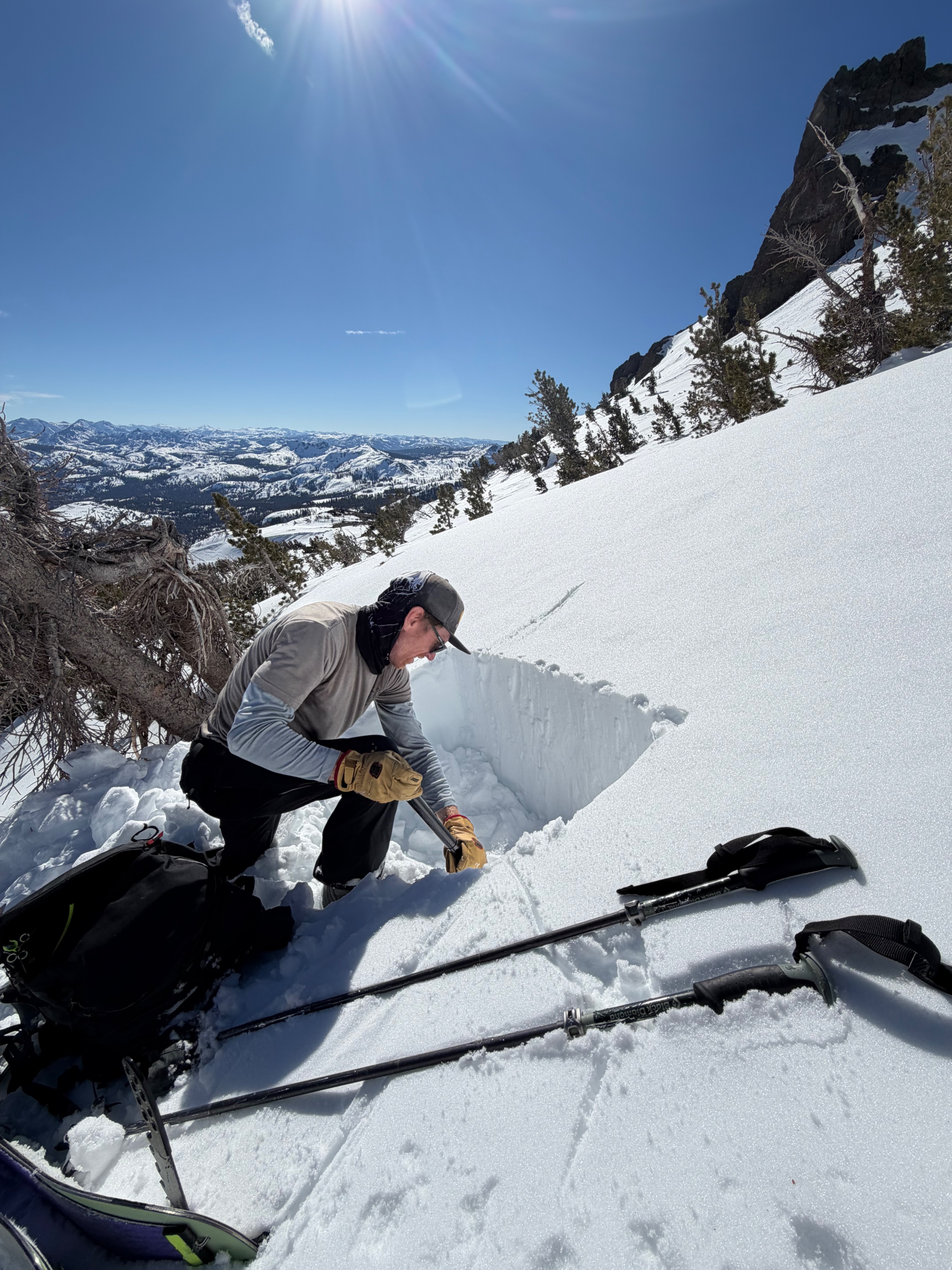
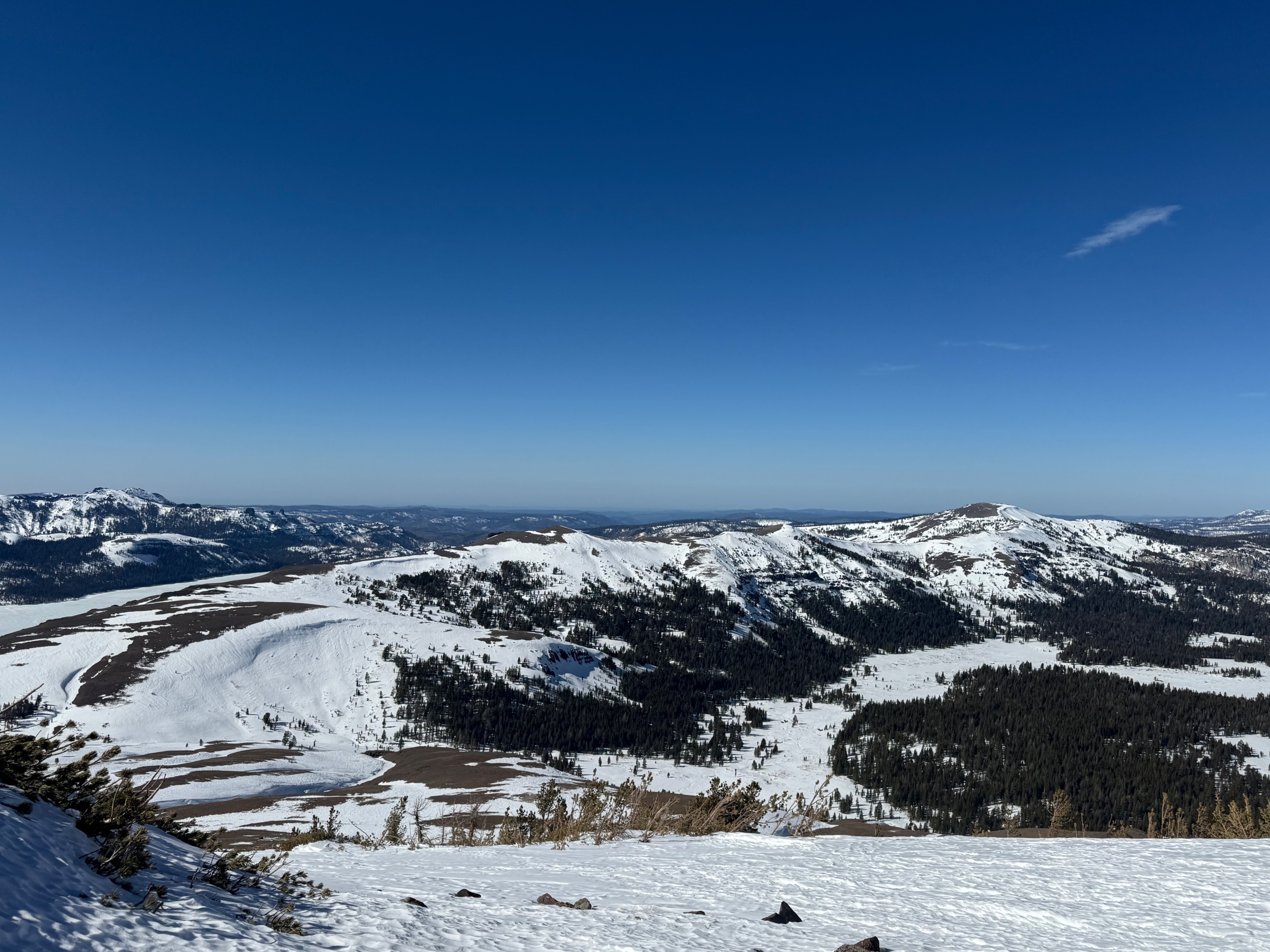
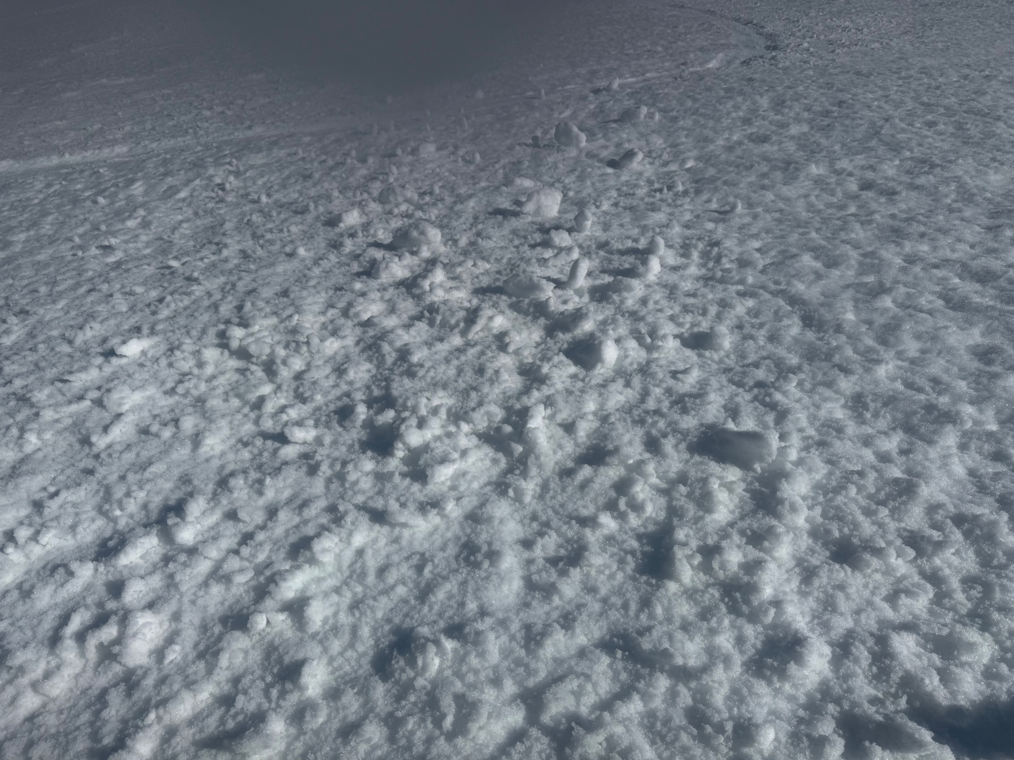
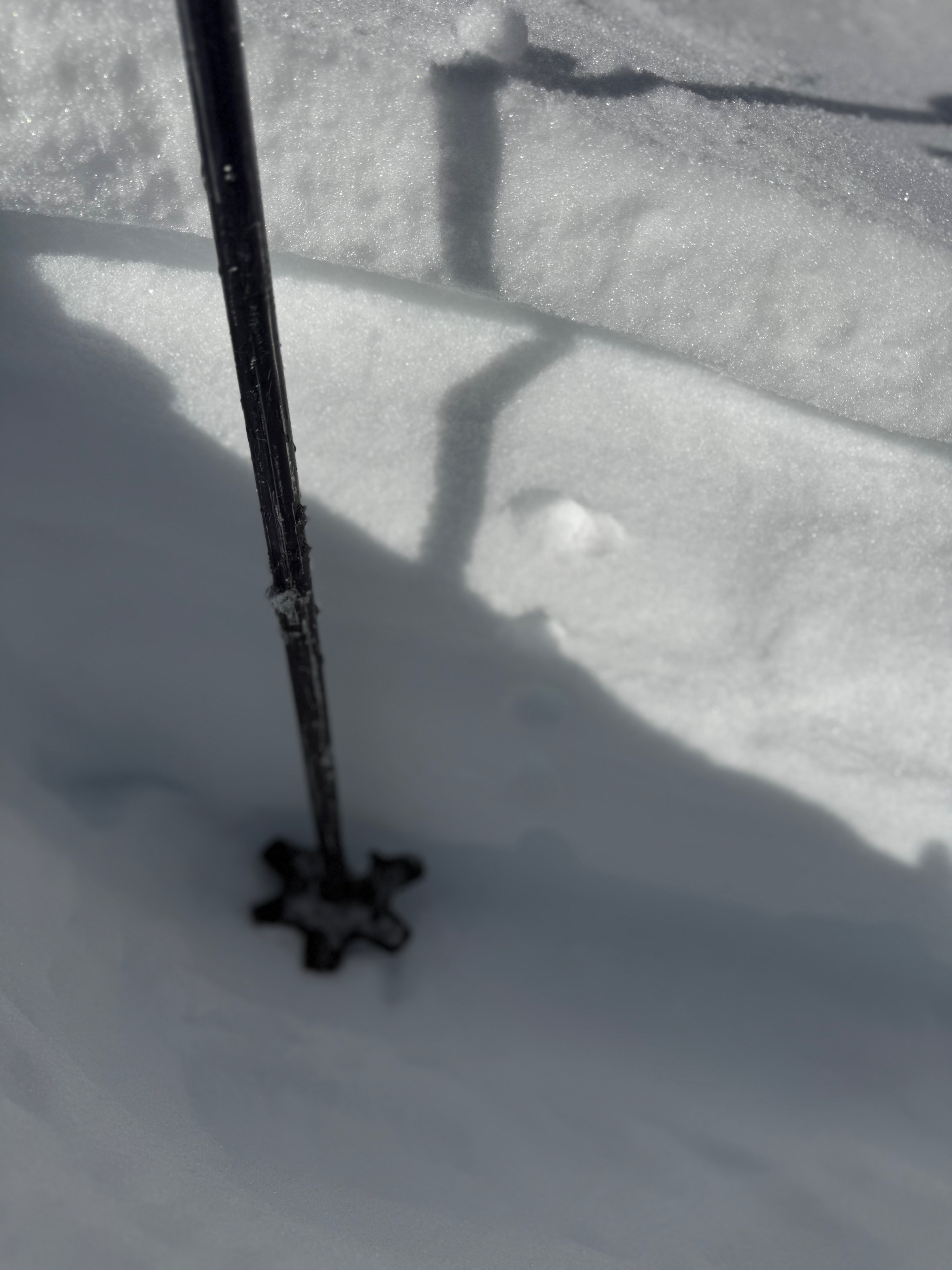
We headed out to the Red Lake Peak area today to check the conditions and coverage throughout the area. When we arrived @ 0945 the snow had just started to slightly softened at 8100'. There was patches of high gray clouds, but nothing to disrupt the good solar input with no winds to mention. As we climbed up, I stopped in a few areas checking north aspects to look at the faceting occurring there. I dug a hasty pit at 9300 feet. I chose a spot with a obvious old wind slab that was about two or 3 inches thick. Below that wind slab, 1F near surface facets were preserved and about 12 inches thick to the next layer below. When we got higher, I dug my next pit on a N aspect at 9800'. Similar structure with 12" of near surface facets just below the surface. About 55 cm down is the Jan. 1 raincrust and it had well developed facets sitting on top of it. My compression test showed clear results at this layer scoring CT 20 SP showing signs of initiation. I decided to do an extended column test based on those results, but nothing remarkable came from it. As we reached the summit around 1130, East and southeast aspects had softened up and made for good corn skiing. We did a second lap and similar conditions existed with no signs of pinwheel formation or any other instability.
Weather
- Cloud Cover
- few
- Wind Loading
- none
- Snow Avail For Transport
- none
Mostly clear skies with some patches of high gray. Winds at the ridgeline out of the W-SW.