
Quick report
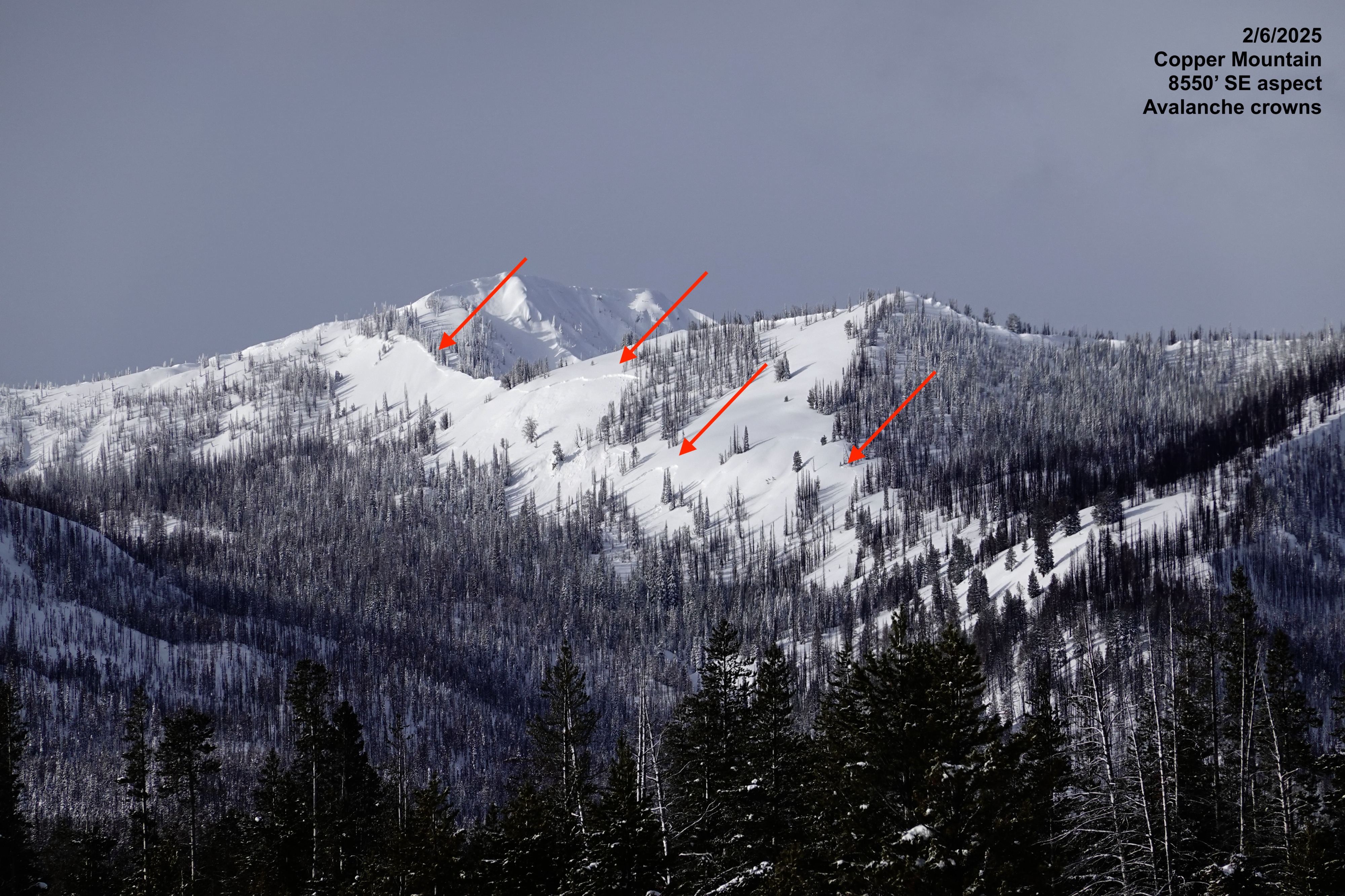
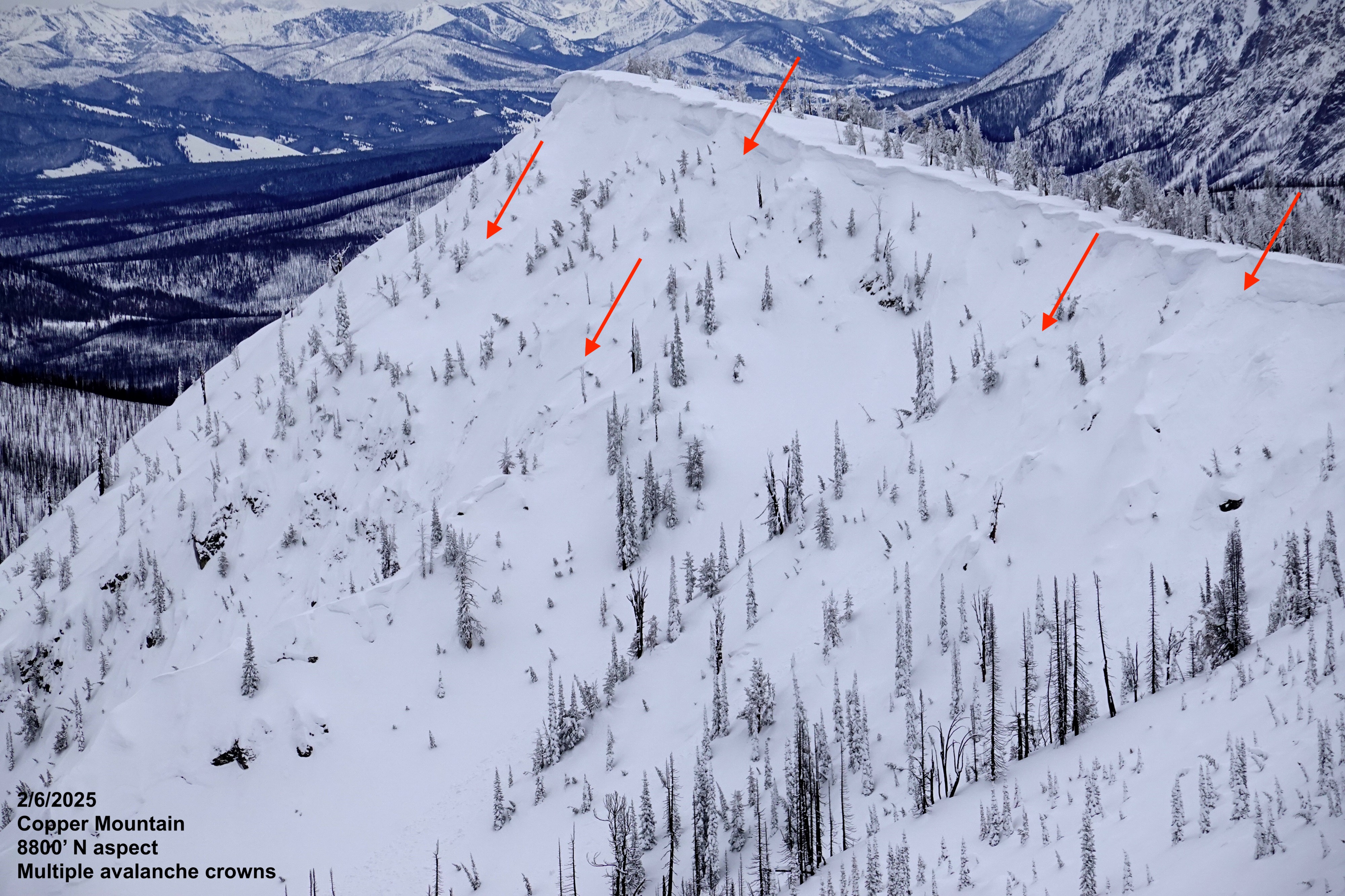
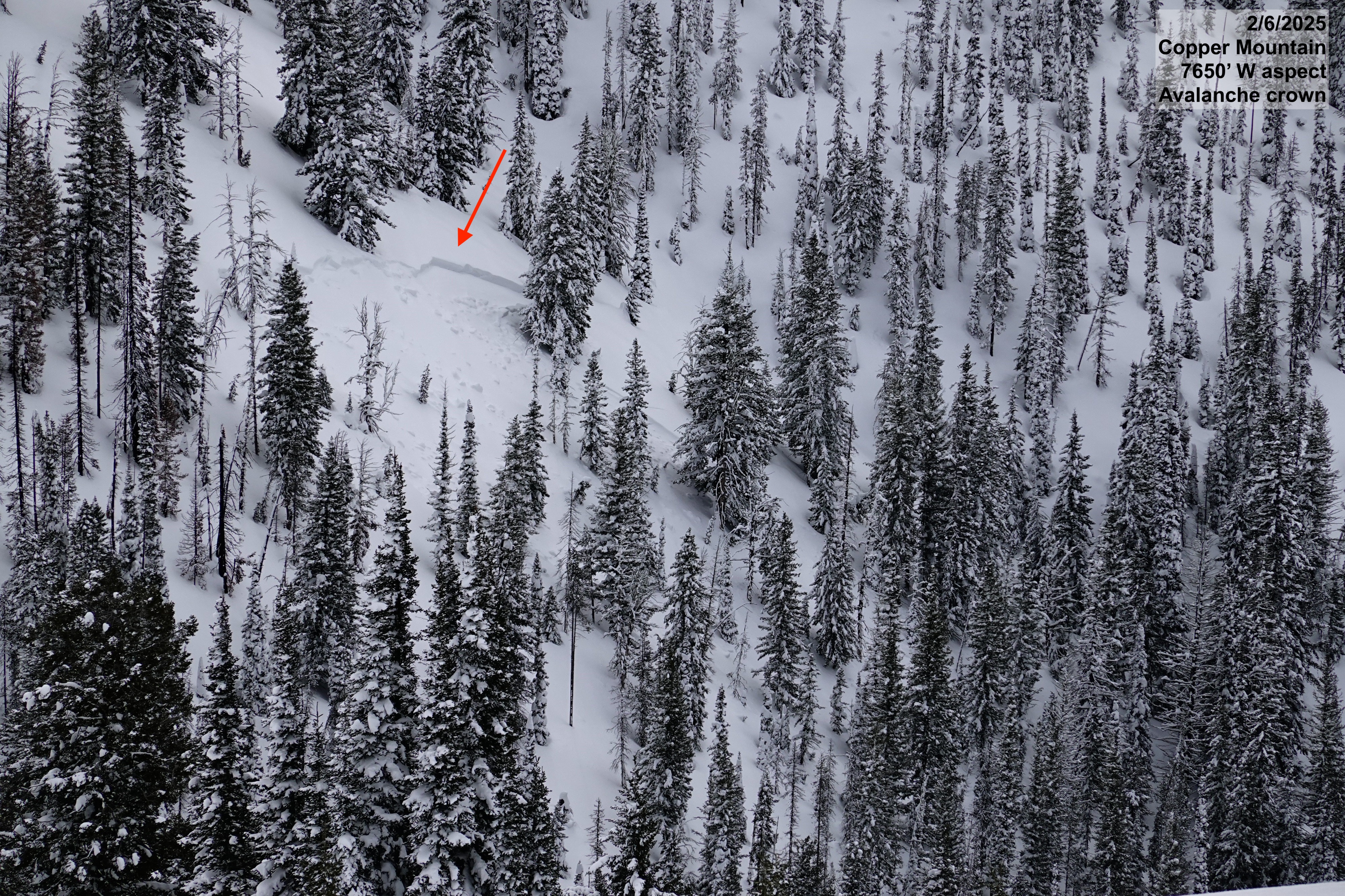
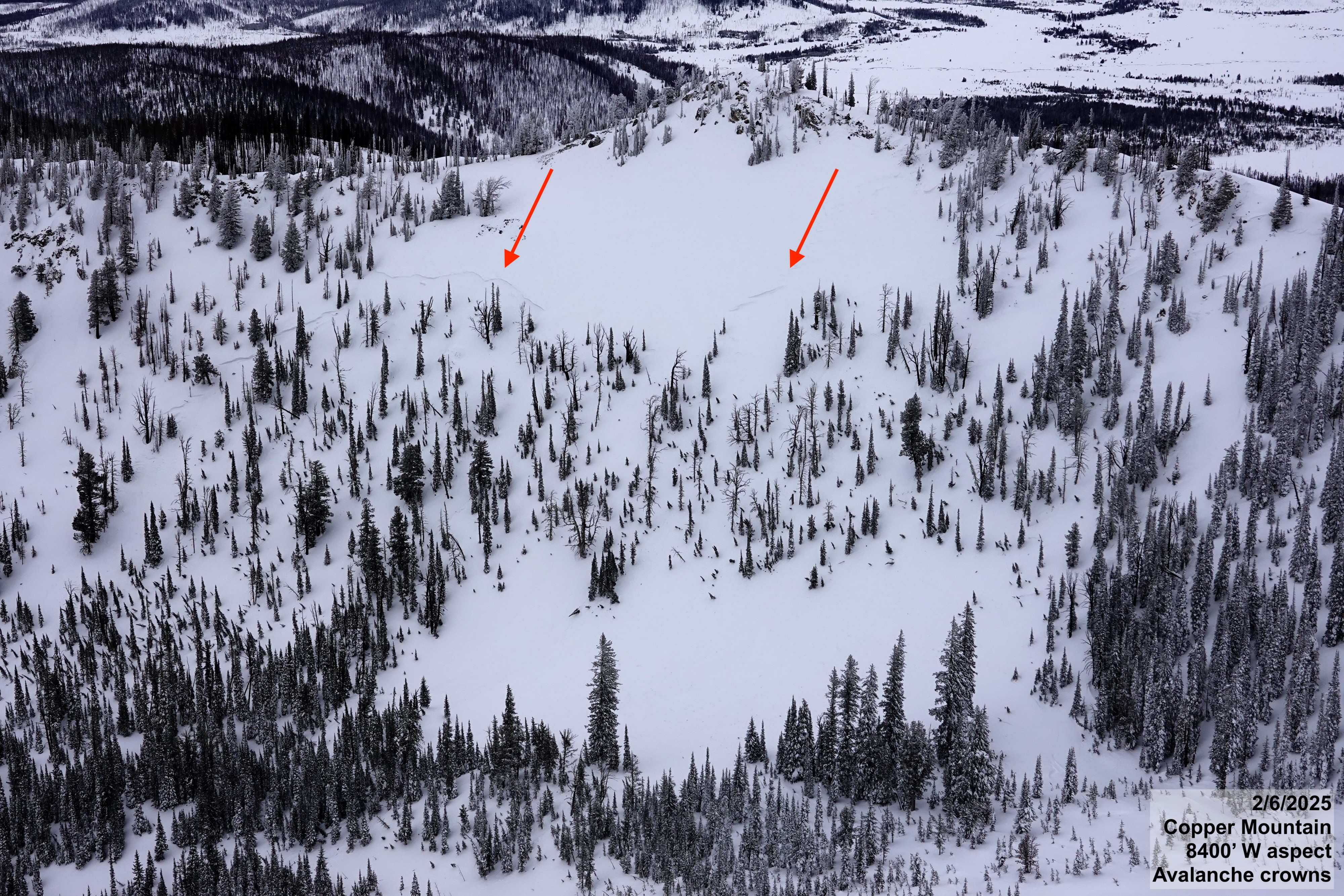
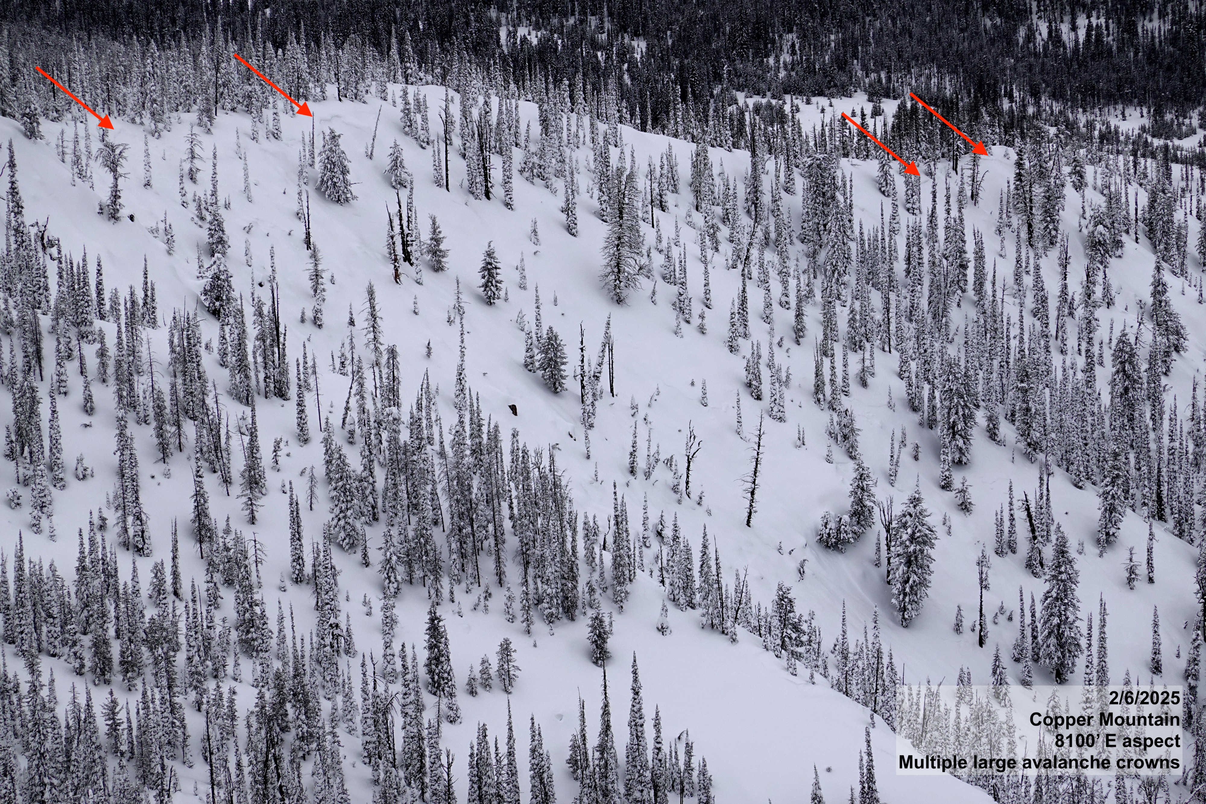
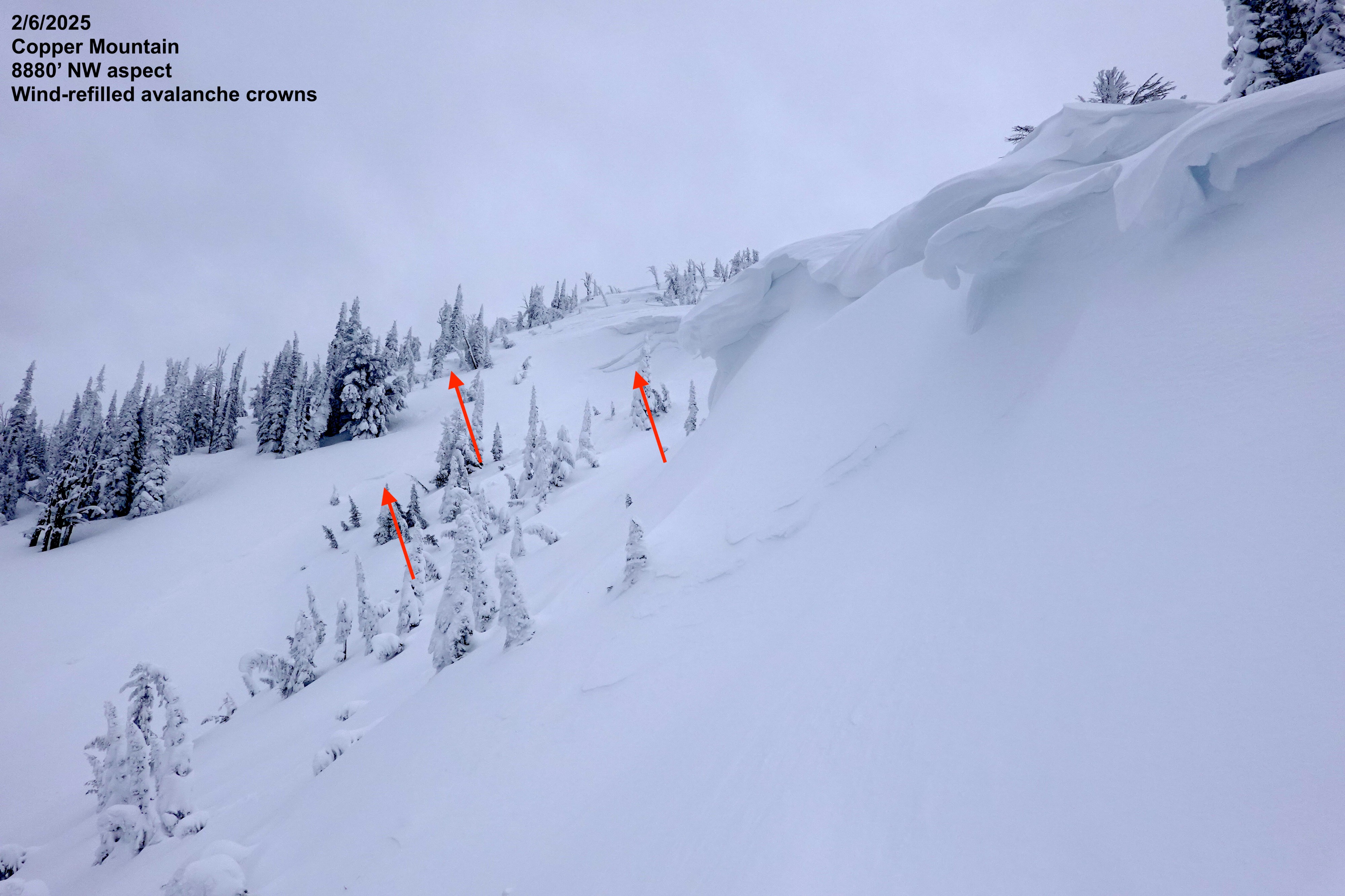
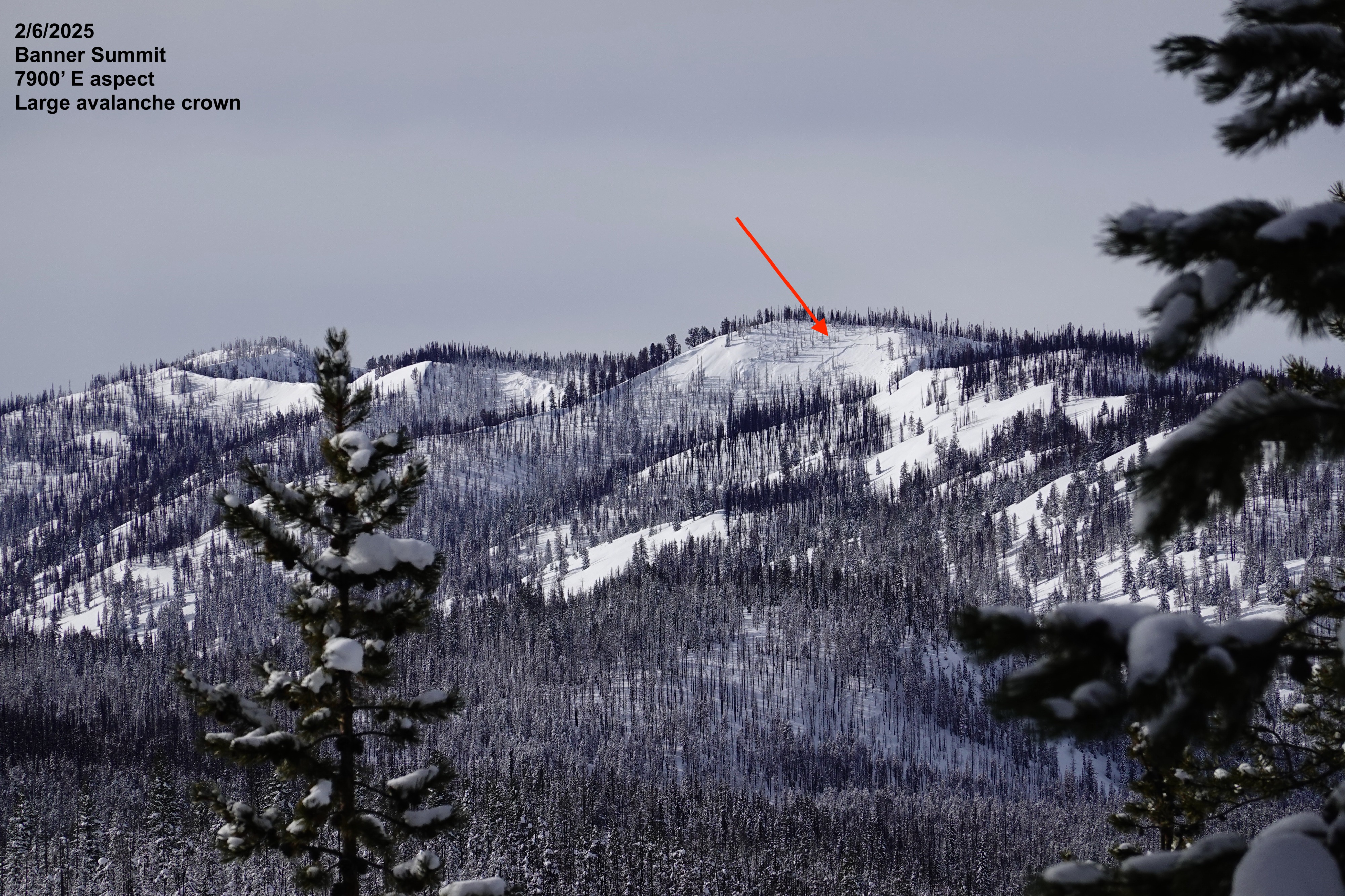
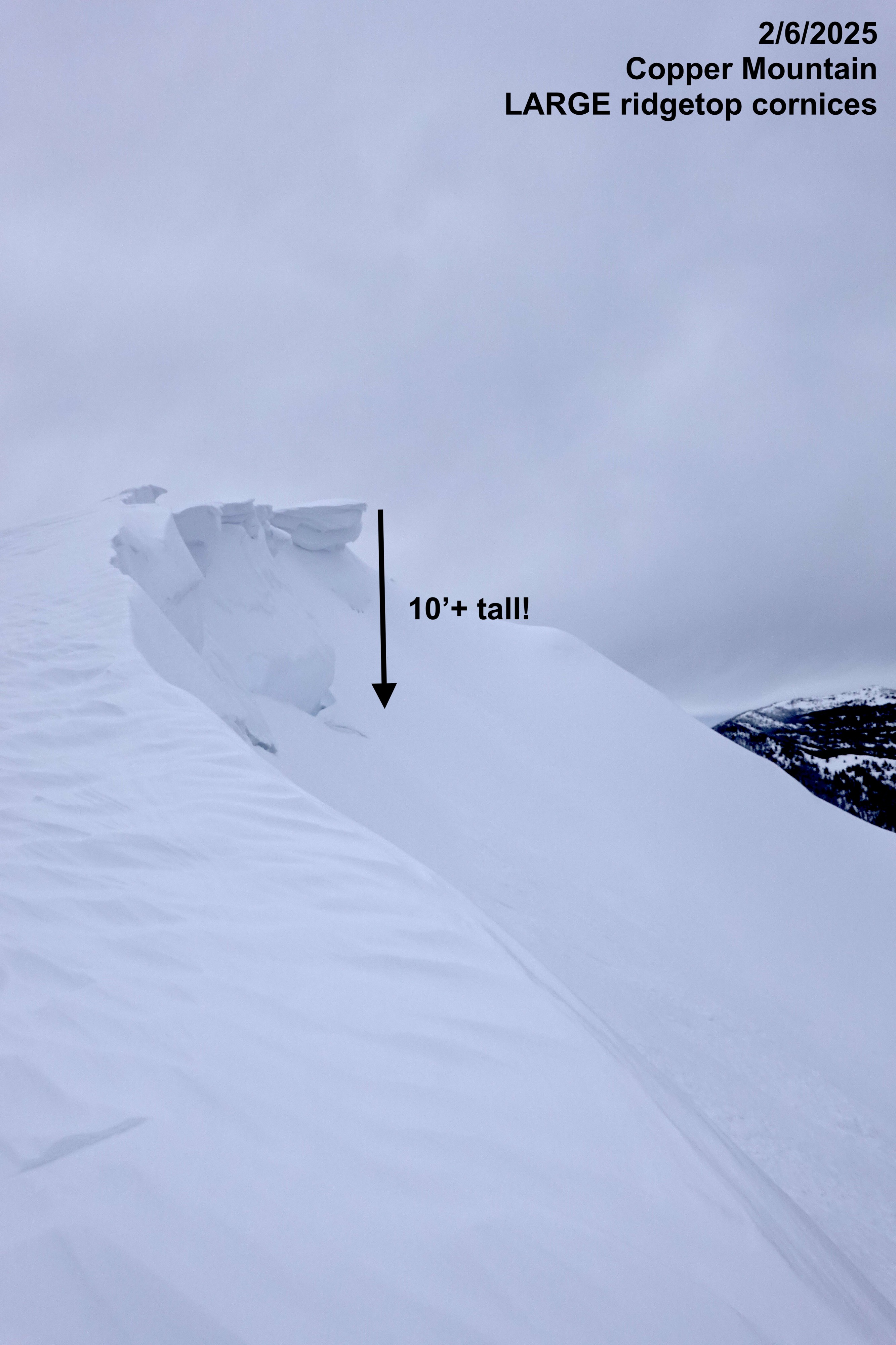
We observed widespread recent avalanche activity around Copper Mountain. Although we did not experience any additional signs of instability, the numerous avalanche crowns from the last 48 hours and propagating results in stability tests kept us on our toes and out of avalanche terrain. There is still considerable uncertainty with the sensitivity of the massive atmospheric-river driven snow load given the variety of weak surfaces that it fell on.
Observed evidence of widespread persistent slab avalanche cycle.Weather
- Air Temp
- 19
- Cloud Cover
- overcast
- Wind Loading
- previous
- Recent Snowfall
- 10-20
- Snow Avail For Transport
- large amounts
Calm winds, increasing cloud cover and dropping cloud deck throughout the day.
Snowpack
We found ~3.4 feet (110cm) of settled storm snow above the old snow surface in protected areas around Copper Mountain. In wind exposed areas, shallower total storm depths were found as well as firm wind-pressed snow buried 10-20cm below the surface.
We dug a quick pit at 8450' on a W 27* slope part way up Copper Mountain and found that the storm snow was settling quickly into a 4F+ hard slab (at the bottom of the new snow). All this new snow was resting on a thin crust with small facets above and large weak facets below (pictured). ECT results were inconclusive, with non-propagating results on mid-storm subtle density interfaces (probably from intermittent temperature fluctuations during the storm). Given the thickness of the slab, we also conducted a PST with unstable results (PST 15/110 END) on weak facets just below the crust (pictured). What does that mean? We're not out of the woods yet... Harder to trigger due to the slab's thickness - but very large avalanches if triggered.
Avalanche
We observed 15 persistent slab avalanche crowns in the Banner zone today on W, NW, N, E, and SE aspects and suspect there were more that have since be refilled by yesterday's ripping winds. We included photos of the avalanches in the summary above and will add them to the database in the next couple of days.