
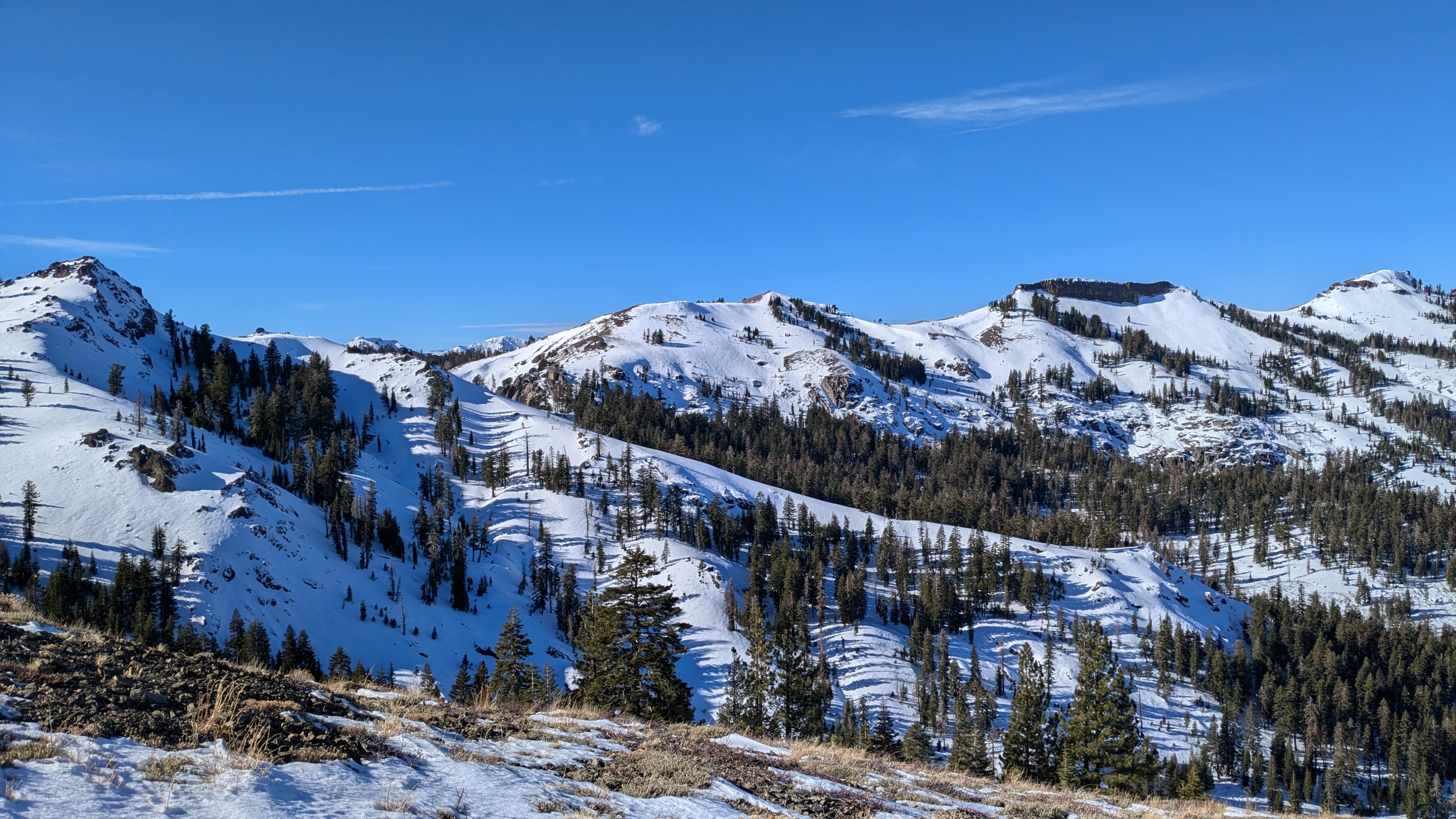
Quick report
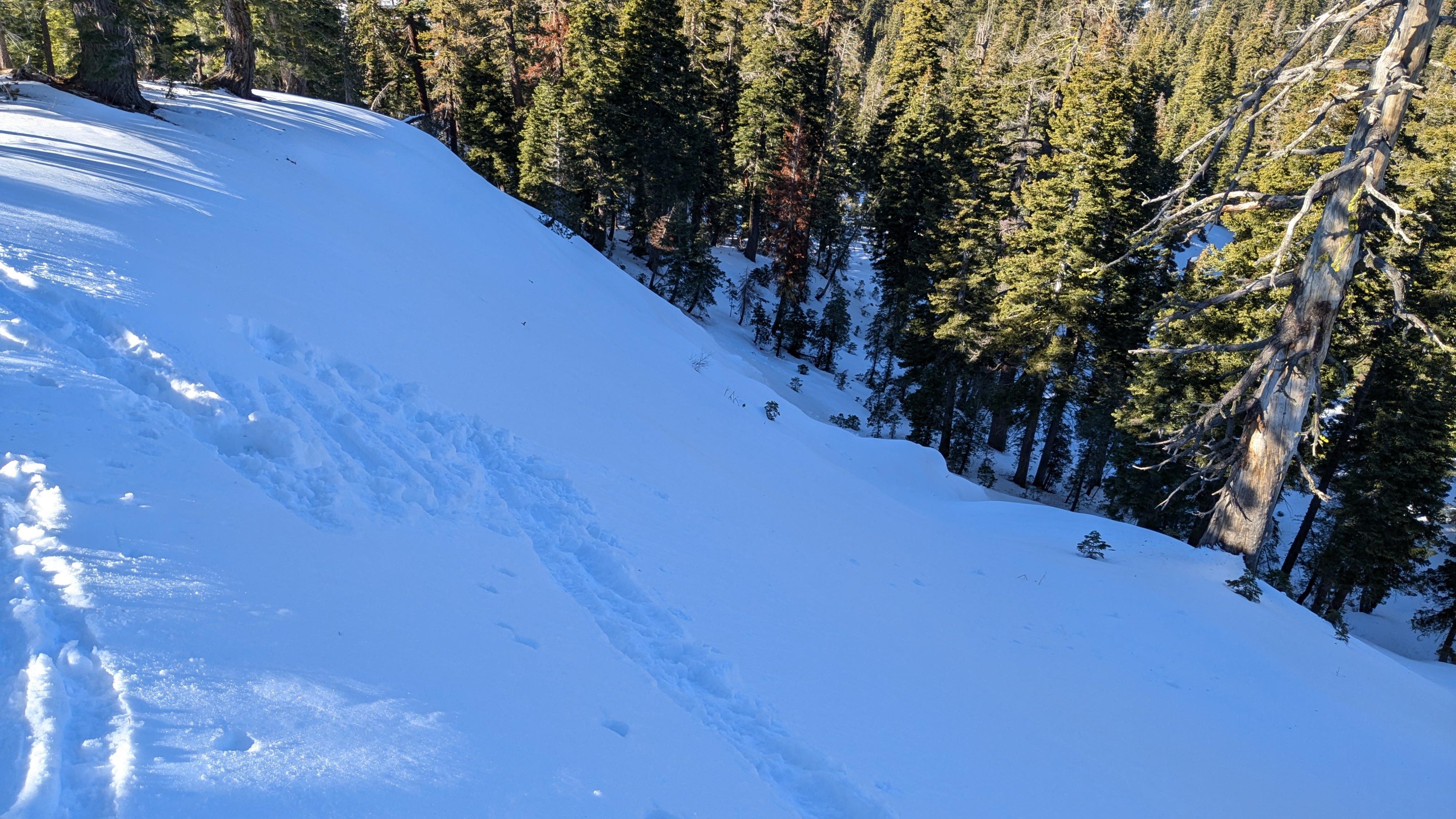
We toured into Silver Peak today. We were able to travel on skis across N aspect terrain starting around 6,700' on a thin but supportable snowpack. The snowpack gained better depth as we ascended between 7,000' and 8,000'. Sun vs shade dictated snow surface conditions. As expected, crust and eventually melt was encountered in sun exposed area. Faceted surface snow existed in shaded areas. The overall snowpack structure matched with other northern Sierra Crest locations of similar elevation. At 8,000' we encountered the expected 3 foot deep snowpack with a strong mid pack and fairly strong, previously rained on layers at the bottom of the snowpack.
The weakest snow we encountered was at the mid to lower elevations of our tour. The areas in the 7,000' to 7,500' elevation range were weak and in poor condition to handle future new snow loading. This highlighted future concerns for mid elevation BTL avalanche terrain that is currently receiving very little traffic due to the thinner snowpack encountered there.
Weather
- Air Temp
- 50
- Cloud Cover
- clear
- Wind Loading
- none
- Recent Snowfall
- 0
- Snow Avail For Transport
- none
Clear skies, warm temps, calm wind.
Snowpack
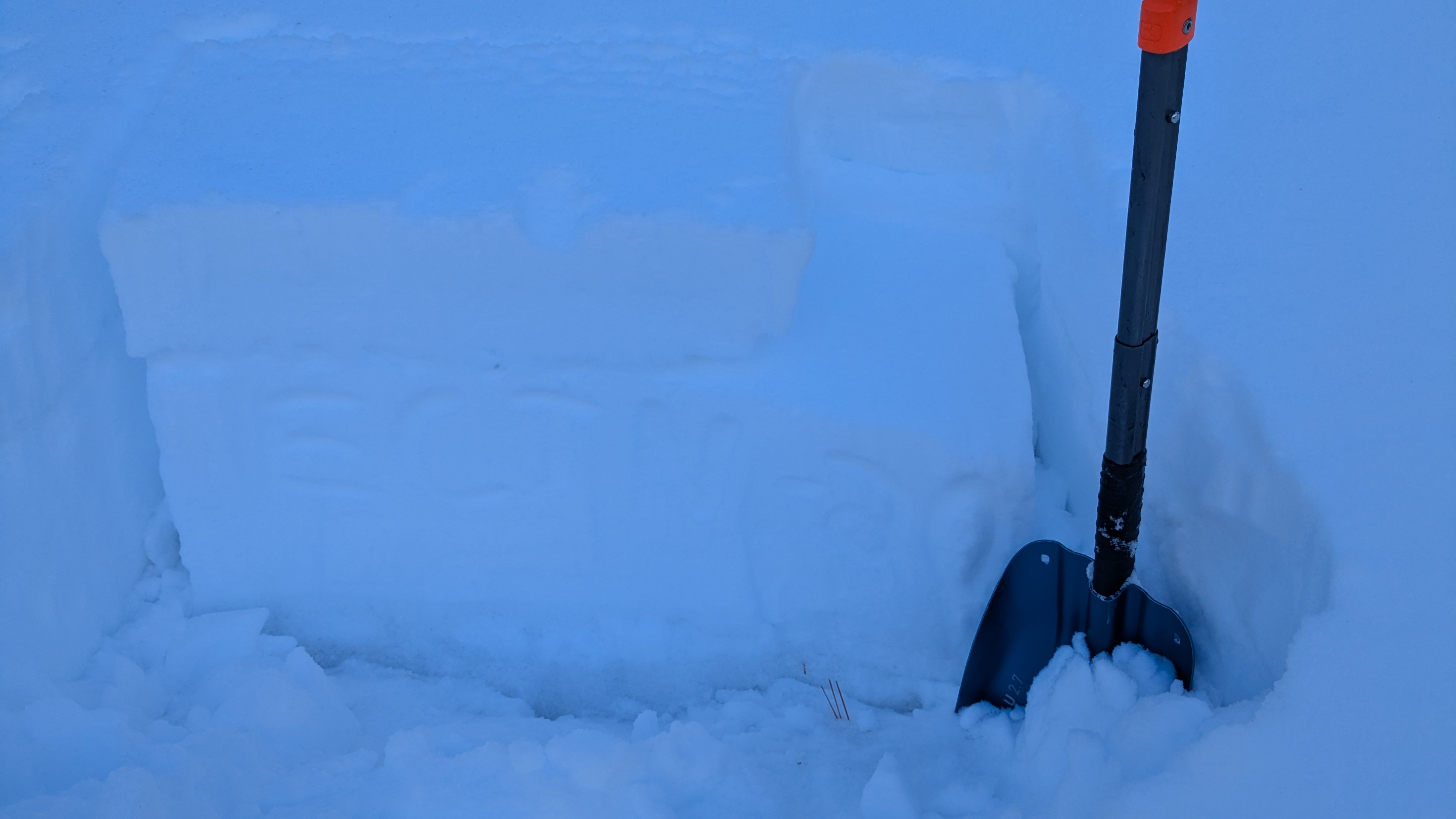
The weakest snow we encountered was in the 7,000' to 7,500' elevation range. Here there was more surface faceting due to colder overnight air temperatures under the recent inversion conditions. The HS in this elevation range was generally 30 to 45 cm. The lower half of the snowpack was firm rain crust and rounded polycrystals following the late Nov rain on snow event at this elevation. There is only a thin slab on top of facets and rain crust in this elevation range, but it could easily become problematic with new snow loading. Facets were falling out of the pit wall around the upper rain crust during excavation.
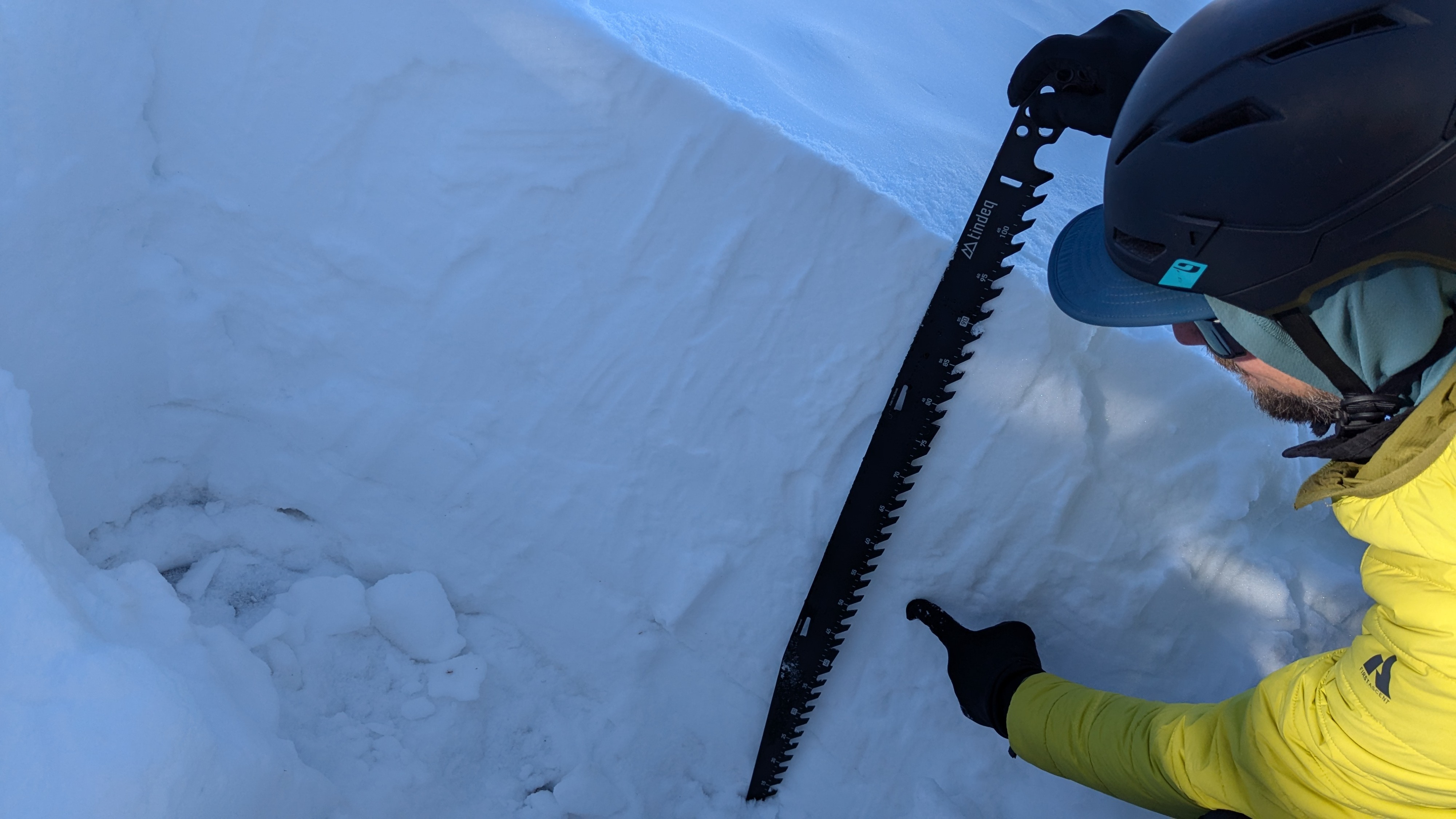
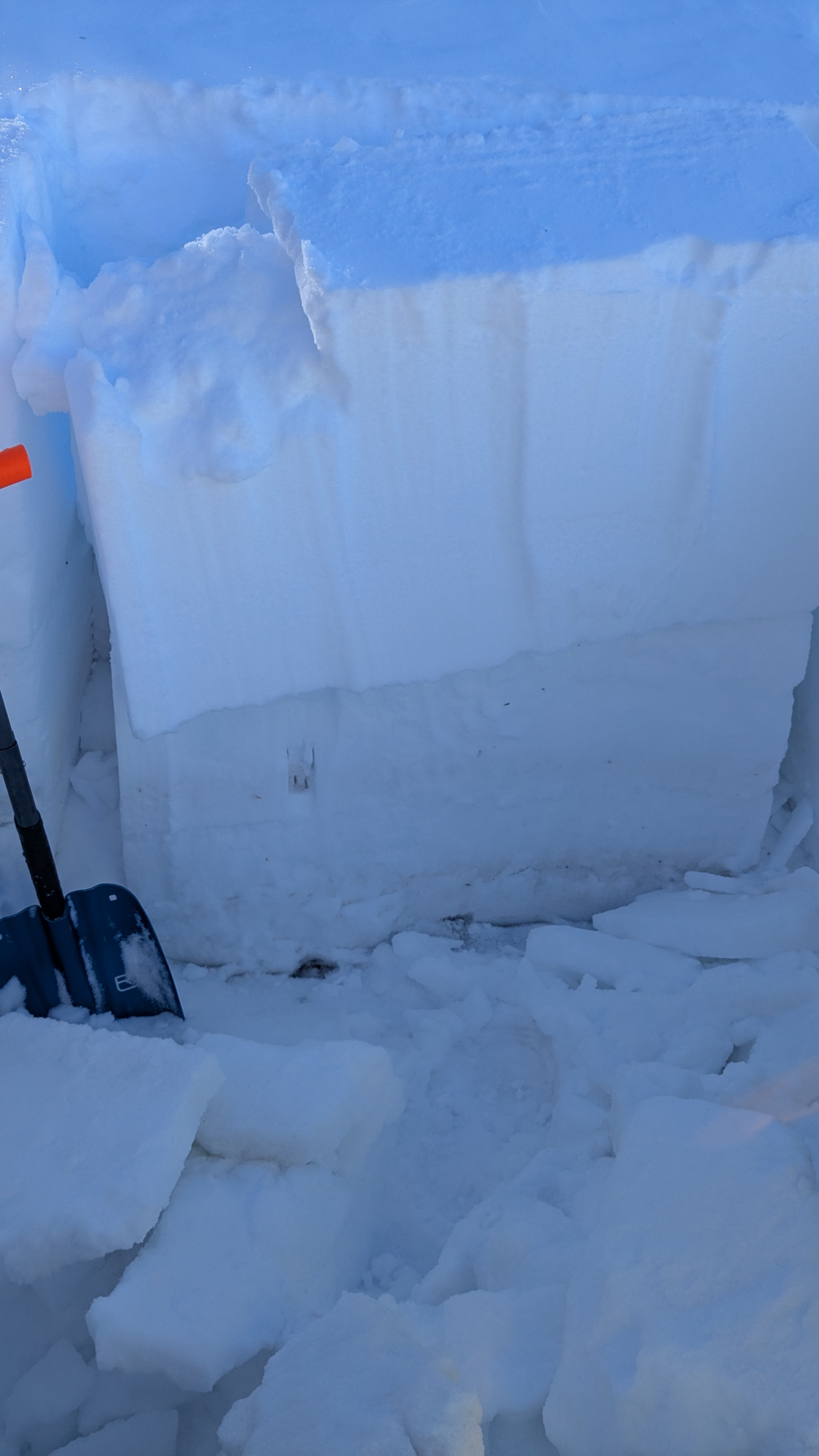
In the 7,500' to 8,200' elevation range we encountered a deeper snowpack with HS around 1m. The upper pack had minor amounts of surface faceting. The mid pack was very strong and took a bit of work to dig through. The lower pack was fairly strong rain crust and rounded polycrystals, again having received substantial rain on snow in late Nov. We noted a rain crust of interest at mid height in the snowpack (see photos). CT produced SC results on this layer. The PST gave cut lengths in excess of 65%. The ECT failed with propagation when going past the standard loading steps. It seems like it would take a substantial load for this layer to fail, but it's there.