
Quick report
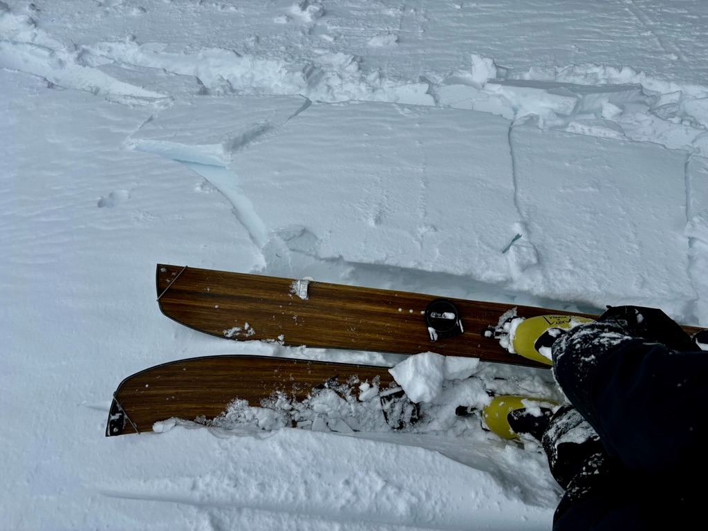
- Cracking
- isolated
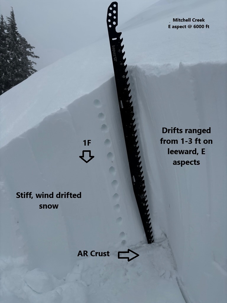
7-9 inches of new snow and very strong winds left widespread wind-affected surfaces, even below treeline. A patchwork of thick drifts and scoured, icy surfaces made up much of the travel over 5,500 ft. While I stuck to more sheltered terrain, I still managed to find stubborn, stiff drifts ranging from 1-3 ft.
Instability was confined to wind-loaded terrain.Weather
- Air Temp
- 20s
- Cloud Cover
- obscured
- Wind Loading
- intense
- Rain Elevation
- 4000
- Recent Snowfall
- 22
- Snow Avail For Transport
- moderate amounts
The day started stormy with very strong winds. Sometime around noon, clouds started to thin out and a few short-lived sun-breaks occurred.
Snowpack
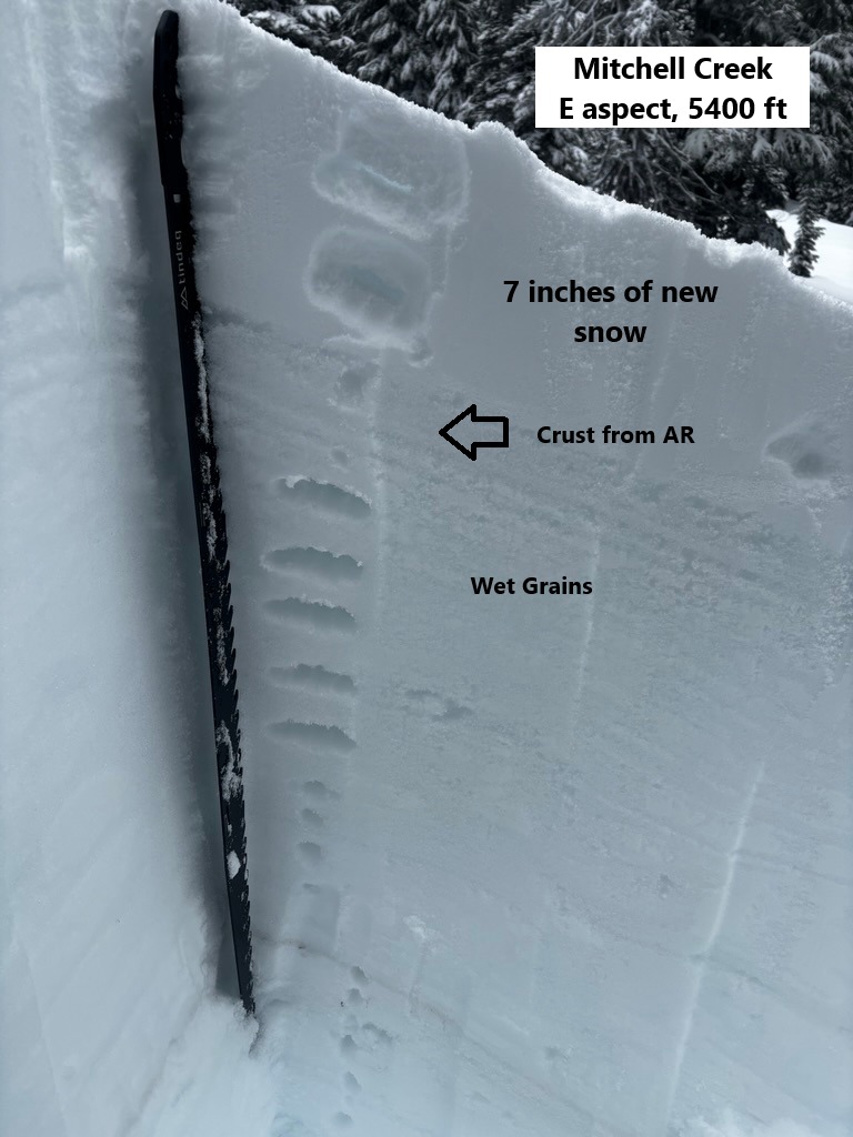
7-9 inches of new snow fell over the AR interface. At lower elevations, this AR interface was in the form of wet snow grains. Somewhere around 6000 ft, this interface crusted up and became boot supportable underneath the new snow.
Wind-affected snow was widespread in this area, even in more sheltered trees thanks to our average wind speeds in 40-50 mph range.
Outside of wind-loaded terrain, the new snow appeared well bonded to the underlying crust. That said, snowpack tests did produce a couple of SC results with CT's on a layer weaker, wet snow roughly 1.5 below the surface. This layer failed to propagate with ECTs.