
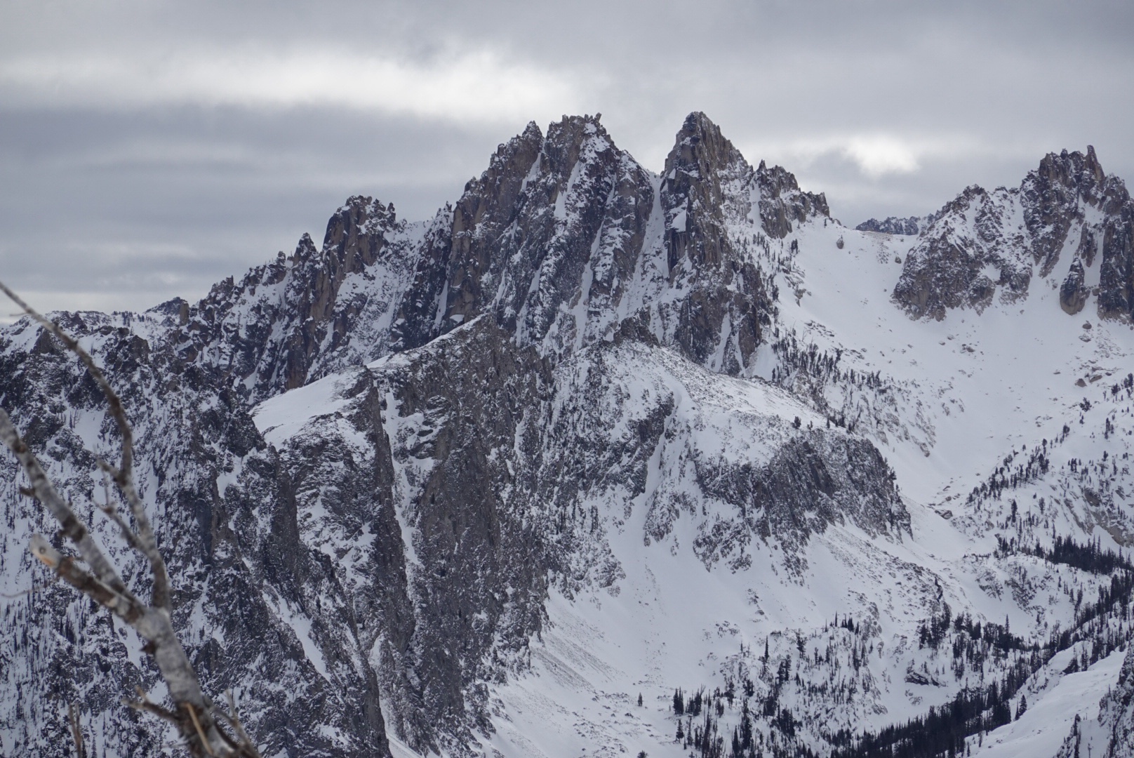
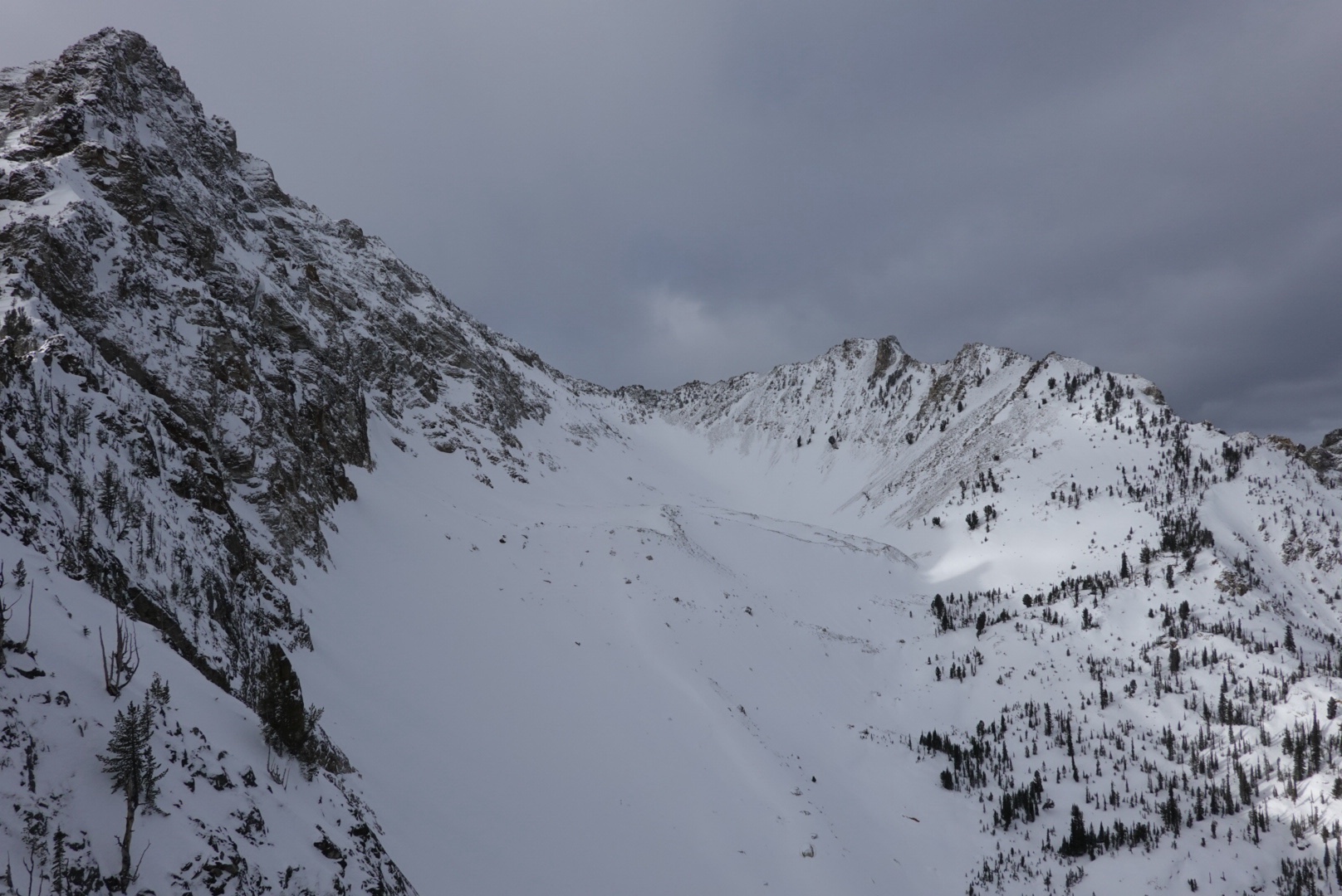
Quick report
We observed no obvious signs of instability during our overnighter. It snowed 5~10cm by Monday morning at 8k’ with intermittent S-1 snowfall throughout both Sunday and Monday, with broken and overcast skies, calm winds, and generally dropping temperatures (~10F overnight and warming to ~20F midday at 7500’).
Weather
- Air Temp
- 10-20
- Cloud Cover
- broken
- Wind Loading
- none
- Recent Snowfall
- 5-10
- Snow Avail For Transport
- moderate amounts
Snowpack
Snow depths were variable and largely aspect and elevation dependent: ranging from <50cm below 7500’ and/or on solar aspects to 100-150cm on shaded aspects above 7500’. We found widespread faceting above a recent breakable crust and evidence of buried surface hoar below 7500’ (but not as much as we suspected given the conditions observed last week) freshly buried under the new snow.
Stout supportable crusts developed over the past week+ of high pressure on SW, S, SE, and E aspects all the way up to 9300’ where we topped out, but is not present on NE aspects. The fresh snow improved surface skiing conditions and is quite light (easily wind transportable).
We dug one quick pit at 8k’ on a 25* E aspect with a total snow depth of 140cm and a stability test result of ECTN 28@100cm on a density change within the consolidated old snow. In this particular location, the new snow seemed to be bonding well to the old surface and we didn’t observe any buried surface hoar or larger grained near surface facets. We did find ~5cm of 4F+ moist rounding facets at the base of the snowpack.