

Quick report
The hazard appears to be trending towards more stable as the new snow settles and a thick 10cm rain crust from the last wet storm cycle helps bridge lower instabilties.
Weather
- Air Temp
- 22
- Cloud Cover
- few
- Wind Loading
- light
- Snow Avail For Transport
- small smounts
Very sunny day, with dark blue skies. Temps started below freezing at all elevations in the morning. By the end of the day, mid and low elevations warmed up pretty significantly. Moderate wind gusts from the NE all day.
Snowpack
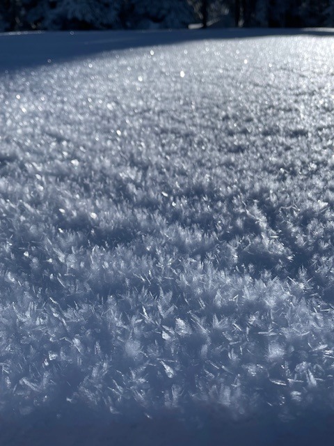
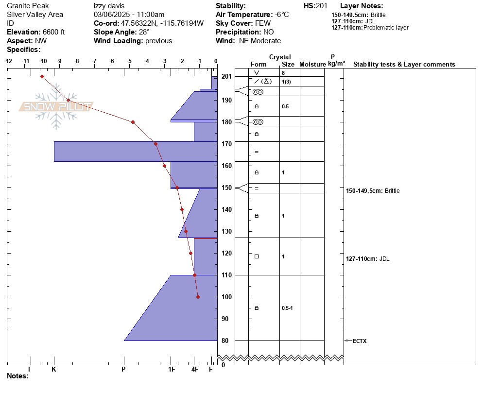
In the morning, a breakable melt freeze crust could be felt at all elevations. By the end of the day, mid and low elevations had softened up enough to be a bit mushy, but not enough for any wet loose to release. The melt freeze crust was supportable enough for the weight of a skier, and the weight of a snowmobile. New surface hoar 6-12mm was seen at upper elevations, with the largest feathers in sheltered and shaded areas on the slope. A pit dug at 6600' on a NW aspect revealed a pretty different snowpack than what has been observed at mid and low elevations. With a surface temperature of -10c, the overall snowpack was much colder and drier than obserevd even just 300 feet lower. A thick 10cm K hard rain crust was sitting 30cm below the surface, and acting as a bridge to the weaker faceted grains lower in the snowpack. The JDL layer was 70cm down from the surface, with facets that are still 4F hard and well developed.
Avalanche
- Size
- D2
- Aspect
- W
- Trigger
- N
- Elevation
- 6300 ft
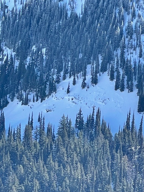
Did not see any recent avalanche activity. Old wet loose debris could be seen around steep and rocky features across the terrain. One old crown line could be seen on a steep west facing slope around a rock band.