
Quick report
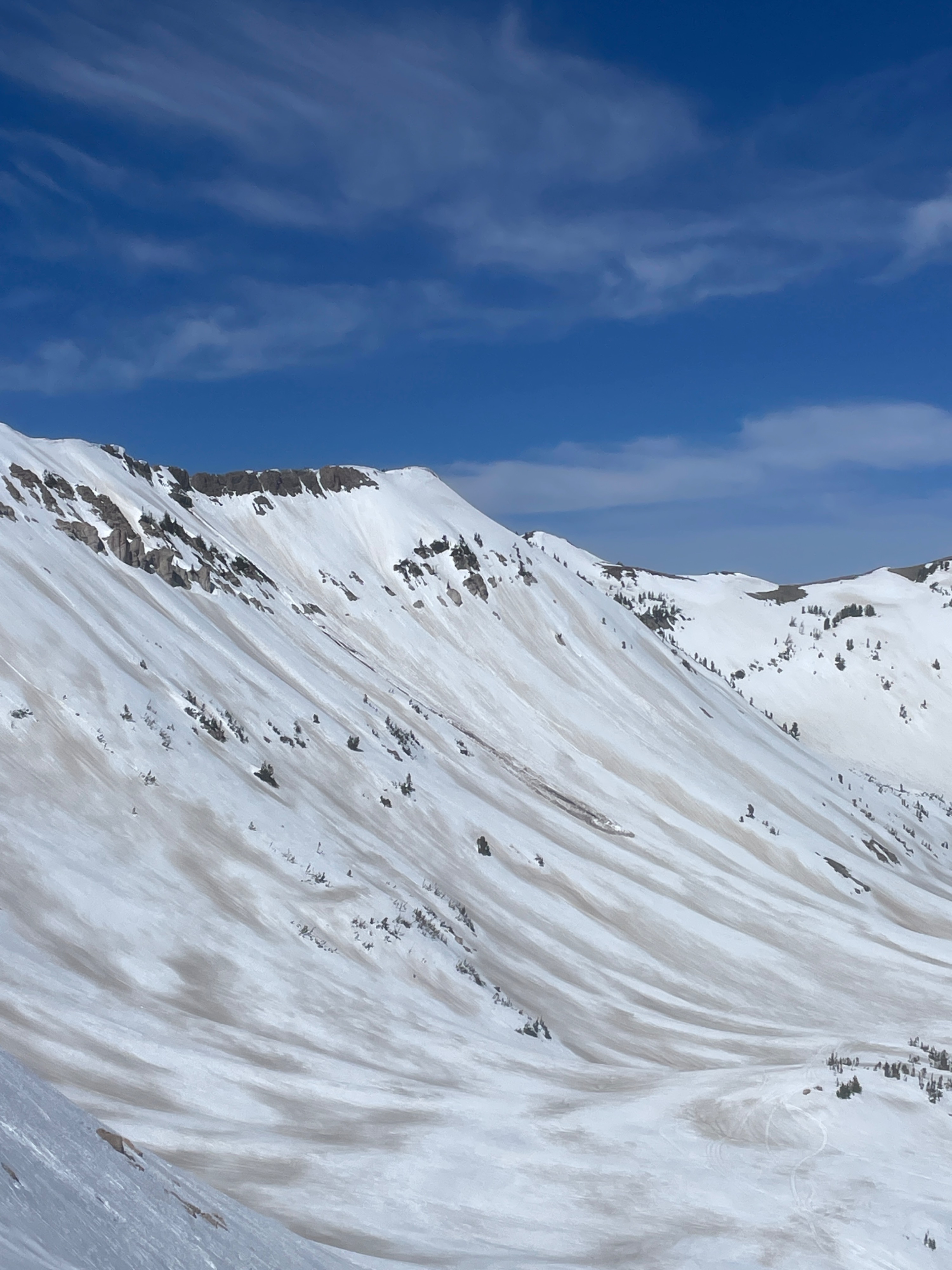
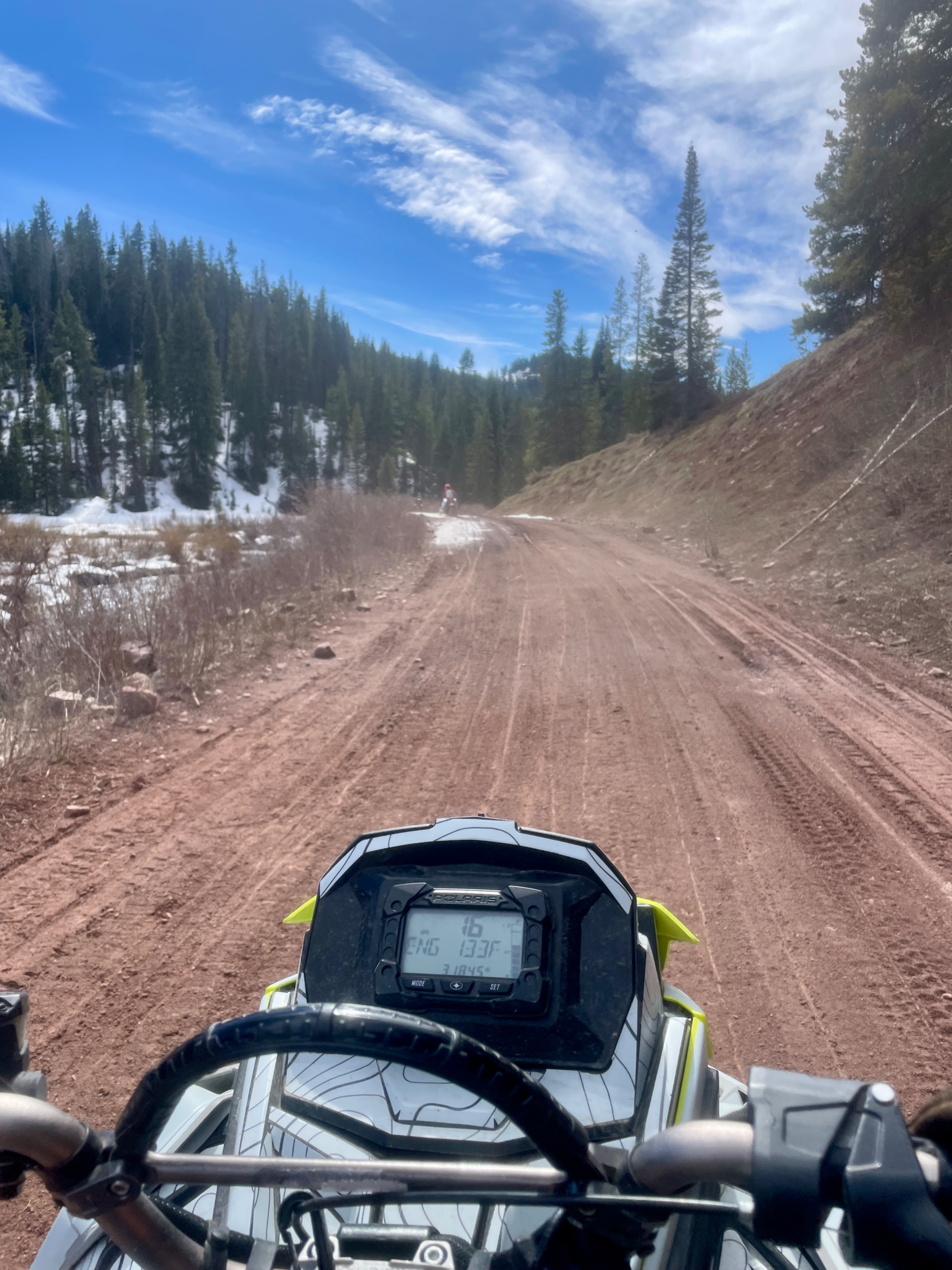
Travels in the Smiths Fork area began with a few miles of patchy dirt and snow, with difficult snowmobile travel. Up higher, with deeper snowpack made for smoother travel, and excellent avalanche viewership. Surfaces on southeast softened by noon, and south facing terrain began losing some supportability around 1300 hour. Around this time, boot packing became unsupportable, with footsteps punching in up to the waist, and thinner areas couldn’t support the weight of a ski or a snowmobile.
Weather
- Cloud Cover
- few
- Wind Loading
- none
- Snow Avail For Transport
- none
Winds were light gusting moderate at the highest observed ridge tops, and calm otherwise, down lower.
Avalanche
- Size
- D1 R1
- Type
- WL
- Count
- 9
- Aspect
- E
- Trigger
- N
- Elevation
- 9300 ft
A significant wet avalanche cycle from the past 10 days of heat could be observed throughout travels. Most of the activity was on east facing terrain, with the best connected wet slab avalanches observed in mid elevation terrain, around 9500’. A few of the wet slabs and wet loose gouged down to dirt, though no glide avalanches were observed.