
Quick report
The December 7 rain-snow mix has saturated and solidified the formerly concerning surface hoar into a supportable crust up to about 6,500 feet where we traveled. However, we easily punched through the crust when stepping off our boards and machines. Despite the plethora of faceting and breakable crust in the upper snowpack, there were no sings of unstable snow outside of our snowpack test results. The snowpack will likely become more reactive and problematic if the next round of snowfall is not accompanied by a rain-on-snow event to add another crust to help hold the snowpack together.
Weather
- Air Temp
- 28
- Cloud Cover
- few
- Wind Loading
- moderate
- Recent Snowfall
- 0
- Snow Avail For Transport
- small smounts
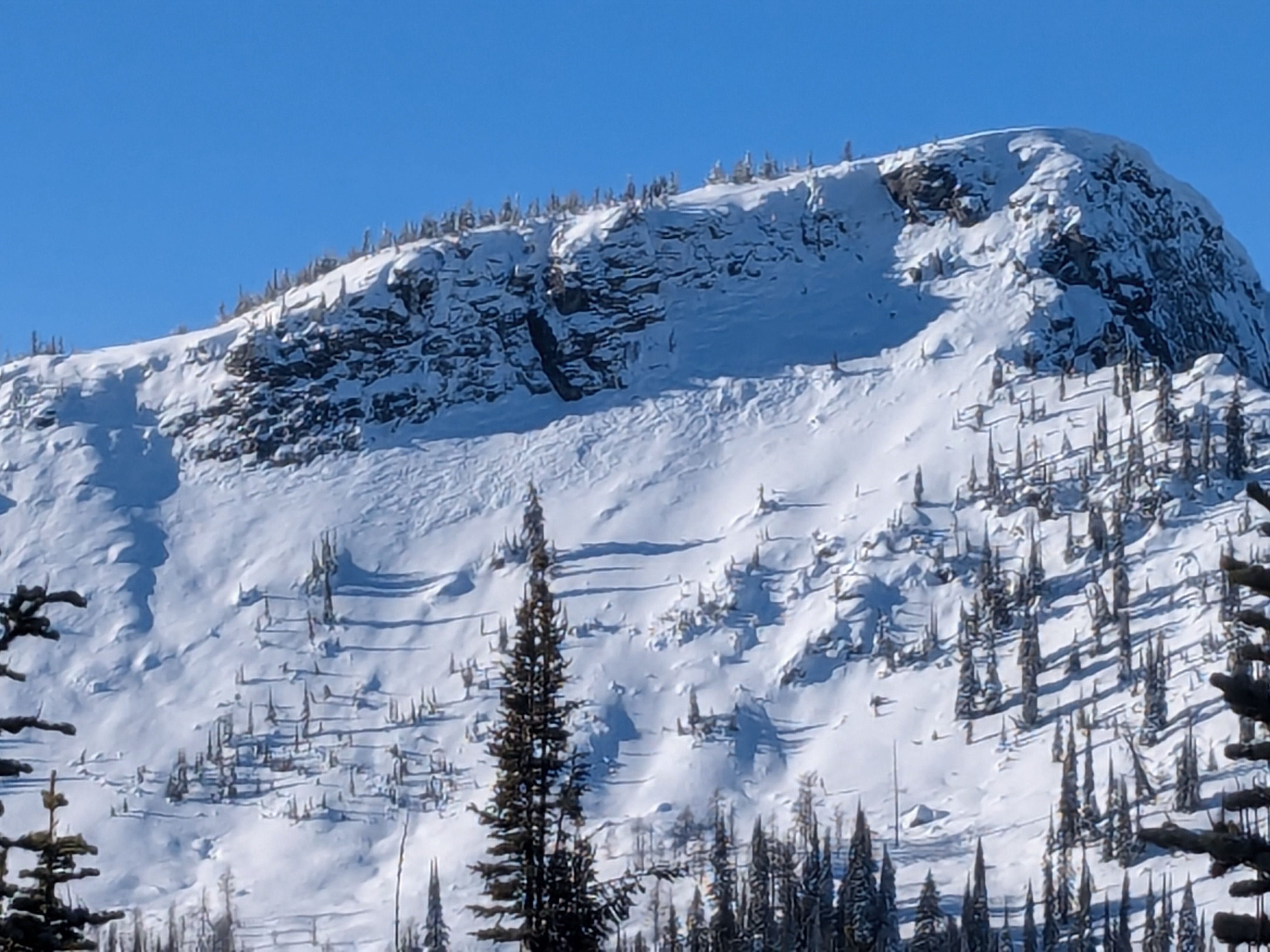
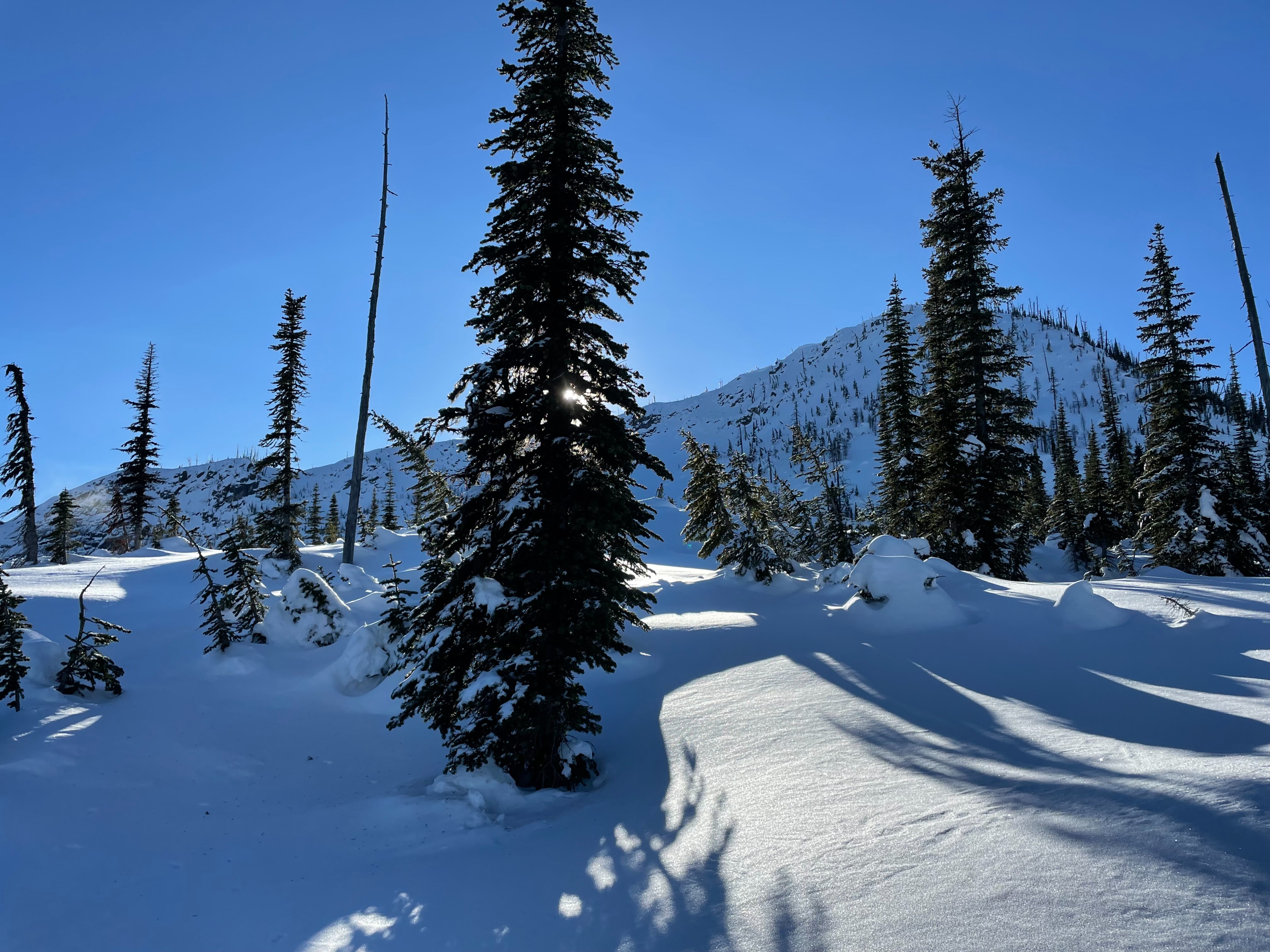
Overcast skies + fog up to around 5,000 feet. Clear and sunny above the clouds. Westerly winds increased in the afternoon with snow plumes visible off peaks and high ridgelines.
Snowpack
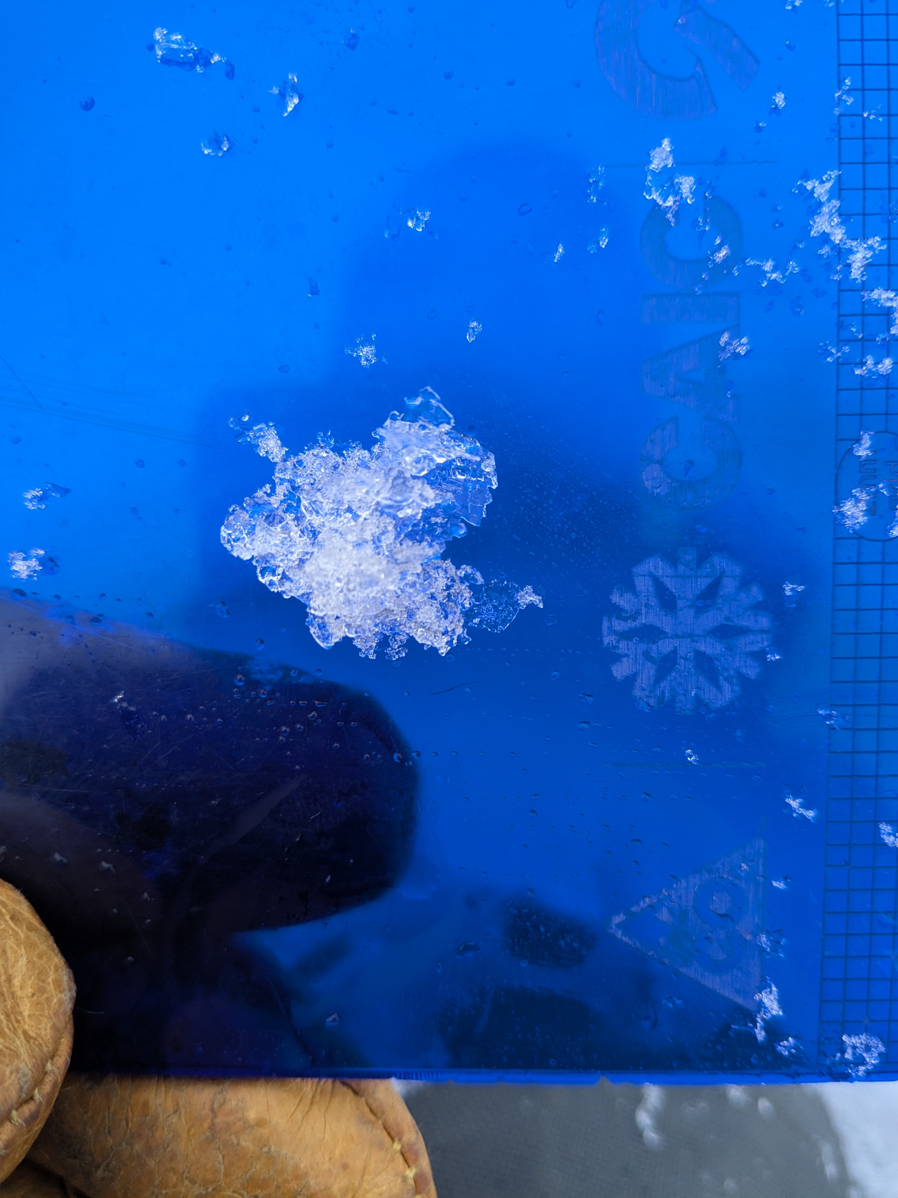
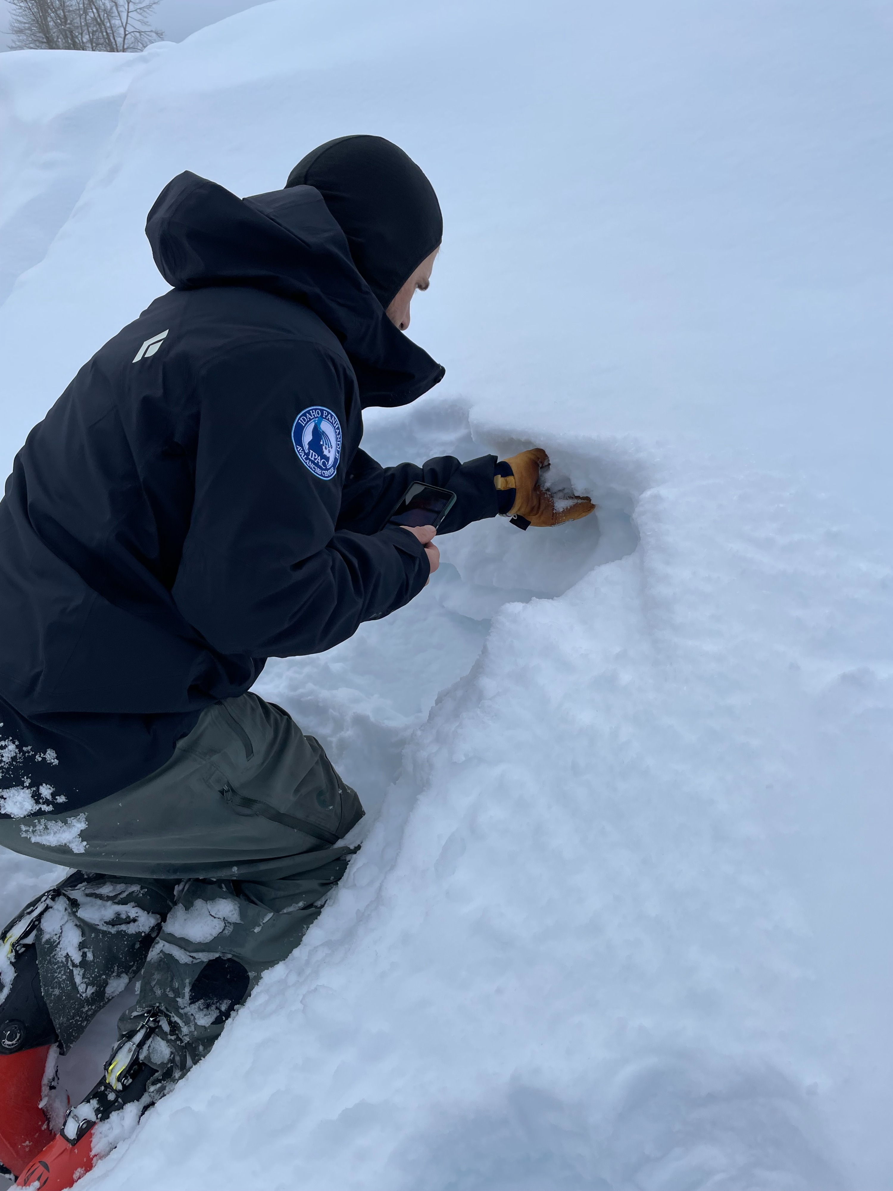
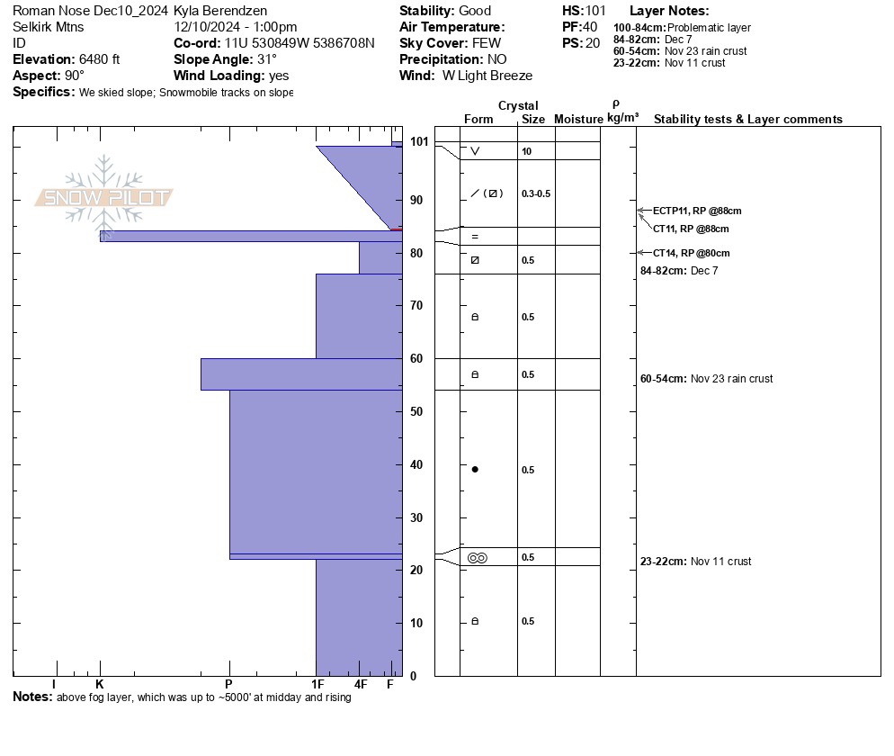
The snowpack around 6,500 feet was just north of a meter deep. Surface conditions were mixed bag that ranged from soft storm snow below treeline, wind-stiffened on easterly-facing slopes near the treeline, and westerly-facing slopes were scoured down to the December 7 rain crust. The upper snowpack above and below the December 7 rain crust-surface hoar sandwich continues to facet under clear skies and cold temperatures. Throughout our travels, the new rain crust ranged 1 to 1.5 cm thick. In some locations, the surface hoar feathers wer refrozen in place and visible with a loupe. This was visible in multiple snowpits at mid and lower elevations. The new snow seems to have bonded well above the December 7 rain crust, but faceting below demonstrated potential to fracture and propagate with additional snow load. We observed propagating failures in Extended Column Tests (ECTP 11 and CTSC 11 about 4 cm above the crust, and CTSC 14 about 2 cm below the crust. The lower two prominent rain crust from November 11 and 23 respectively have begun to degrade and we found a mixture of faceted grains and those rounding around these crust. The majority of lower snowpack layers is hard and consolidated and a significant load is likely required for failure in one of the rounding faceted crust from earlier in the season. Just like the saying..."another rain crust"...we found "another Surface Hoar layer" growing like weeds on the snow surface. Only time will tell if this one survives to cause us more headache. These feathers were even holding up in more wind-exposed spots not scoured from recent strong winds.