


Quick report
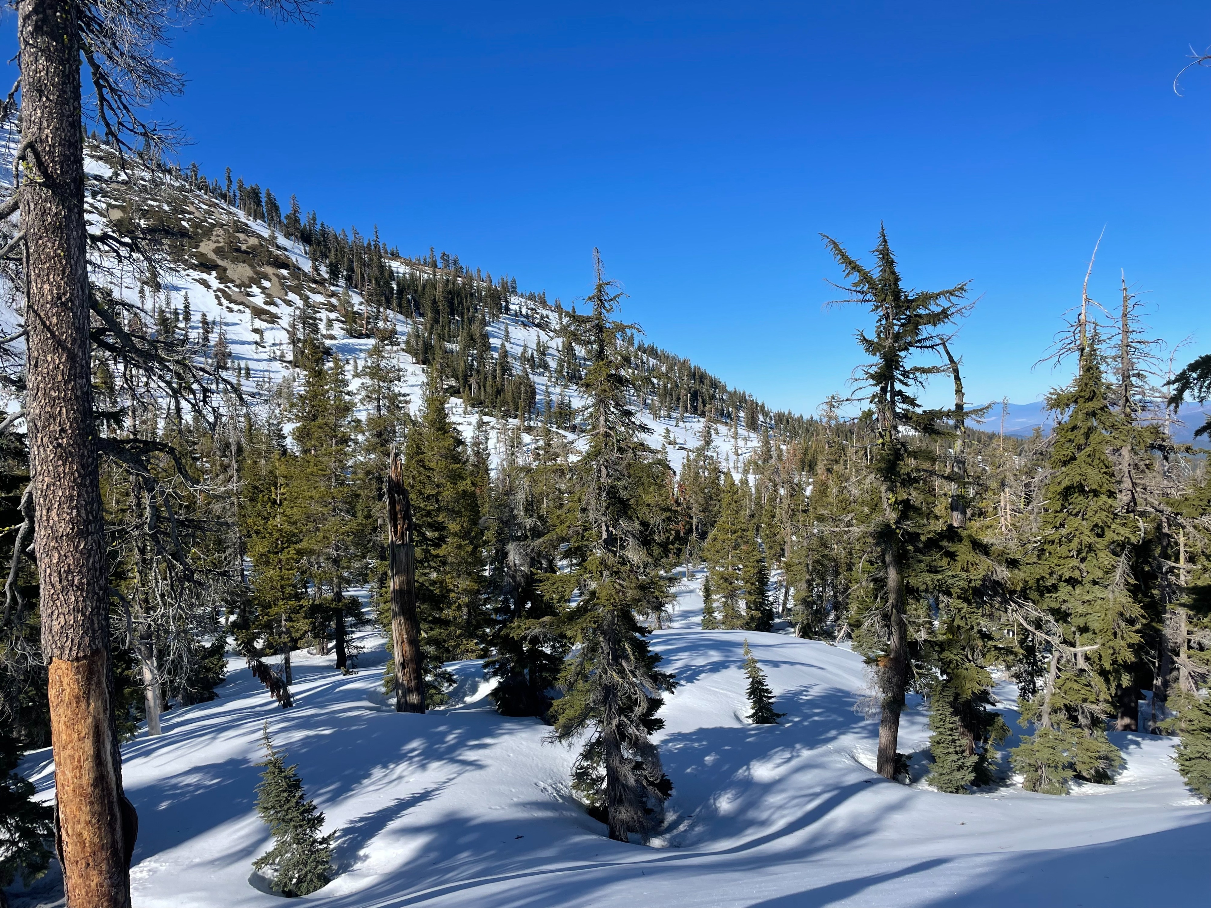
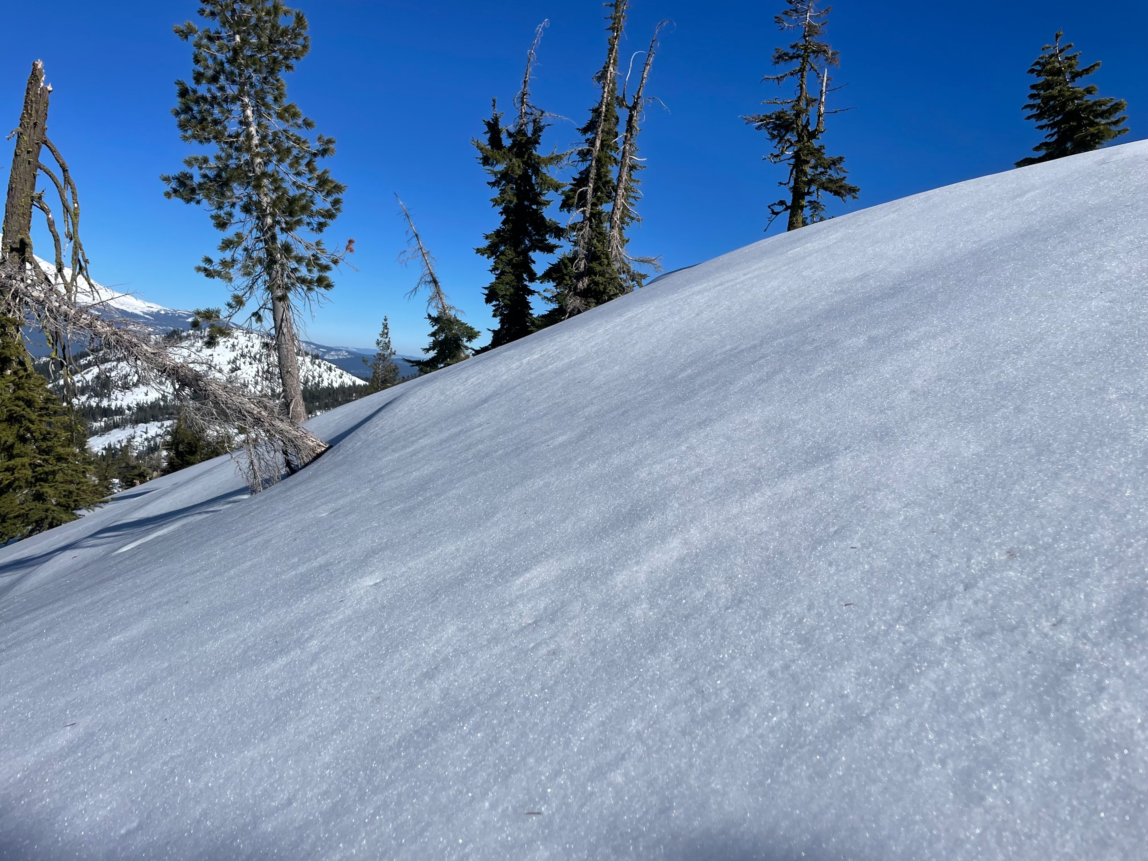
Today, Eric and I made our way to the Scott Lake area, near Grey Rock Lakes, to conduct monthly Snow Survey data collection. On approach, all surfaces were frozen solid, providing difficult travel conditions. Around 6,000 feet and above, surfaces softened with Near-surface Facets (NSF's) prevalent in many areas. The NSF's appear to have a patchy distribution, existing in gullies, meadows, open slopes, treed areas, but not consistently in any of these areas.
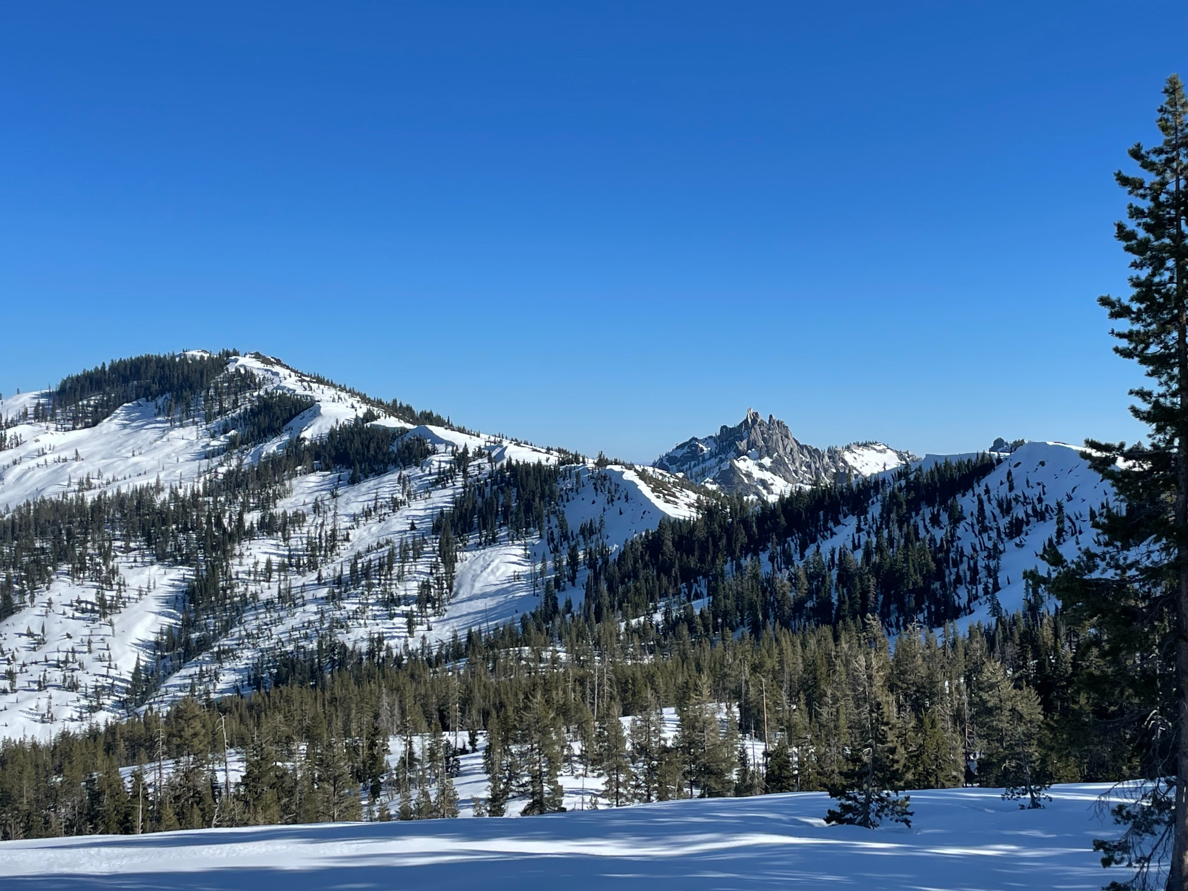
At 6,200 feet, we found a 62 inch (160 cm) snow depth. Northerly aspects are still holding great snow coverage, while southerly slopes continue to melt. Through the day, temperatures warmed immensely, reaching over 50 degrees F at 6,000 feet. Upon return, southerly aspects softened considerably for a better ski out.
No instabilities were observed.Weather
- Air Temp
- 50
- Cloud Cover
- clear
- Wind Loading
- none
- Rain Elevation
- N/A
- Recent Snowfall
- 0
- Snow Avail For Transport
- none
Blue skies, calm wind, and warm temperatures. Temperatures climbed to 50 degrees F at 6,000 feet.
Snowpack
Above 6,000 feet, Near-surface Facets (NSF's) were found with a patchy, inconsistent distribution across NW-N-NE-E-SE aspects. Grain size averaged 2-3 mm. Striations and cups could be easily identified. NSF's were nonexistent on solar slopes. This weak layer sits on top of a very firm ice crust.
Compared to personal observations last Saturday, these facets have grown in size. This layer will likely be a concern in the coming days as precipitation returns to the forecast area.