
Quick report
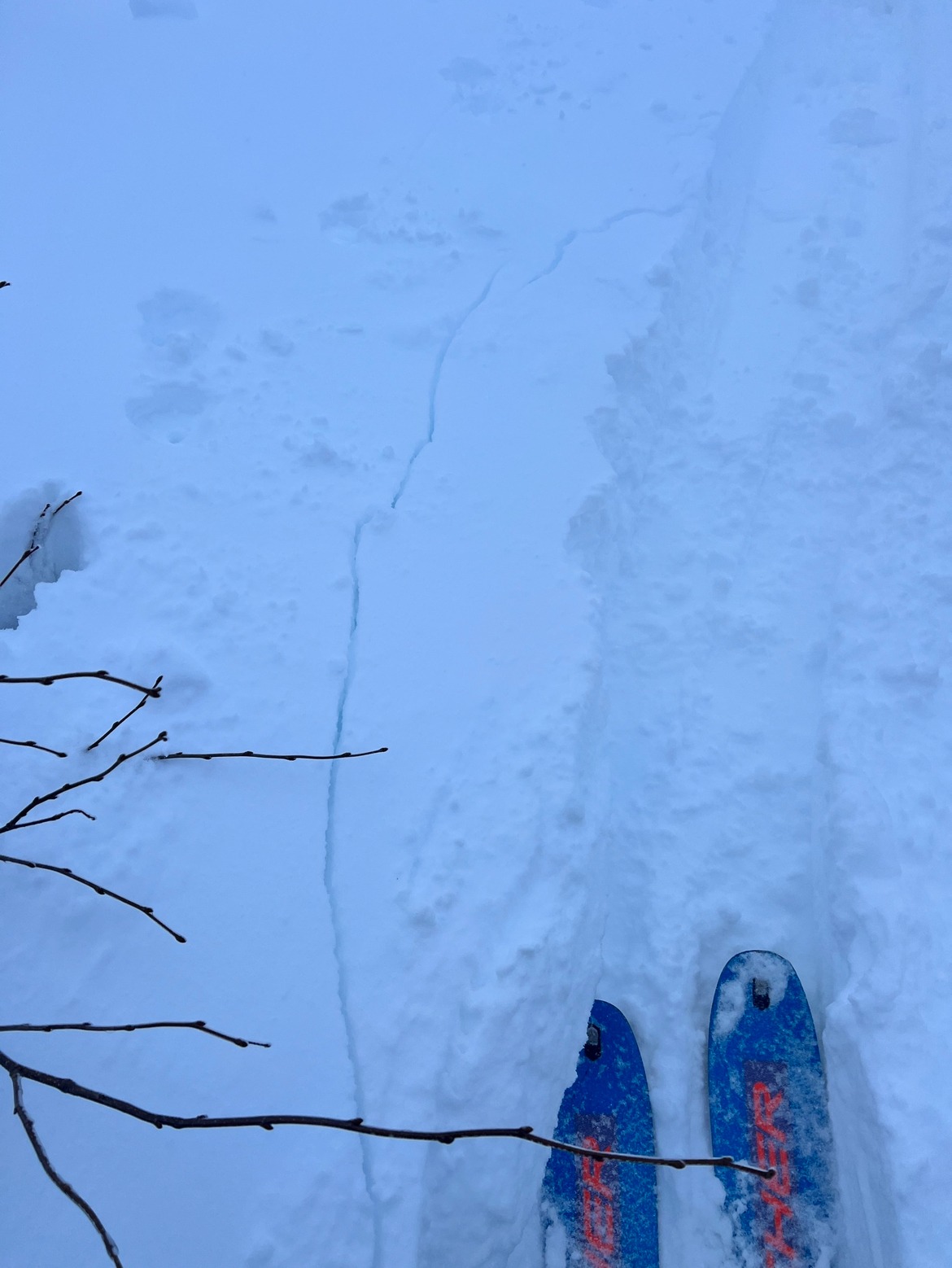
- Cracking
- isolated
Fresh snow veils the ground,
Rare in December's embrace,
Empress' whoosh echoes.
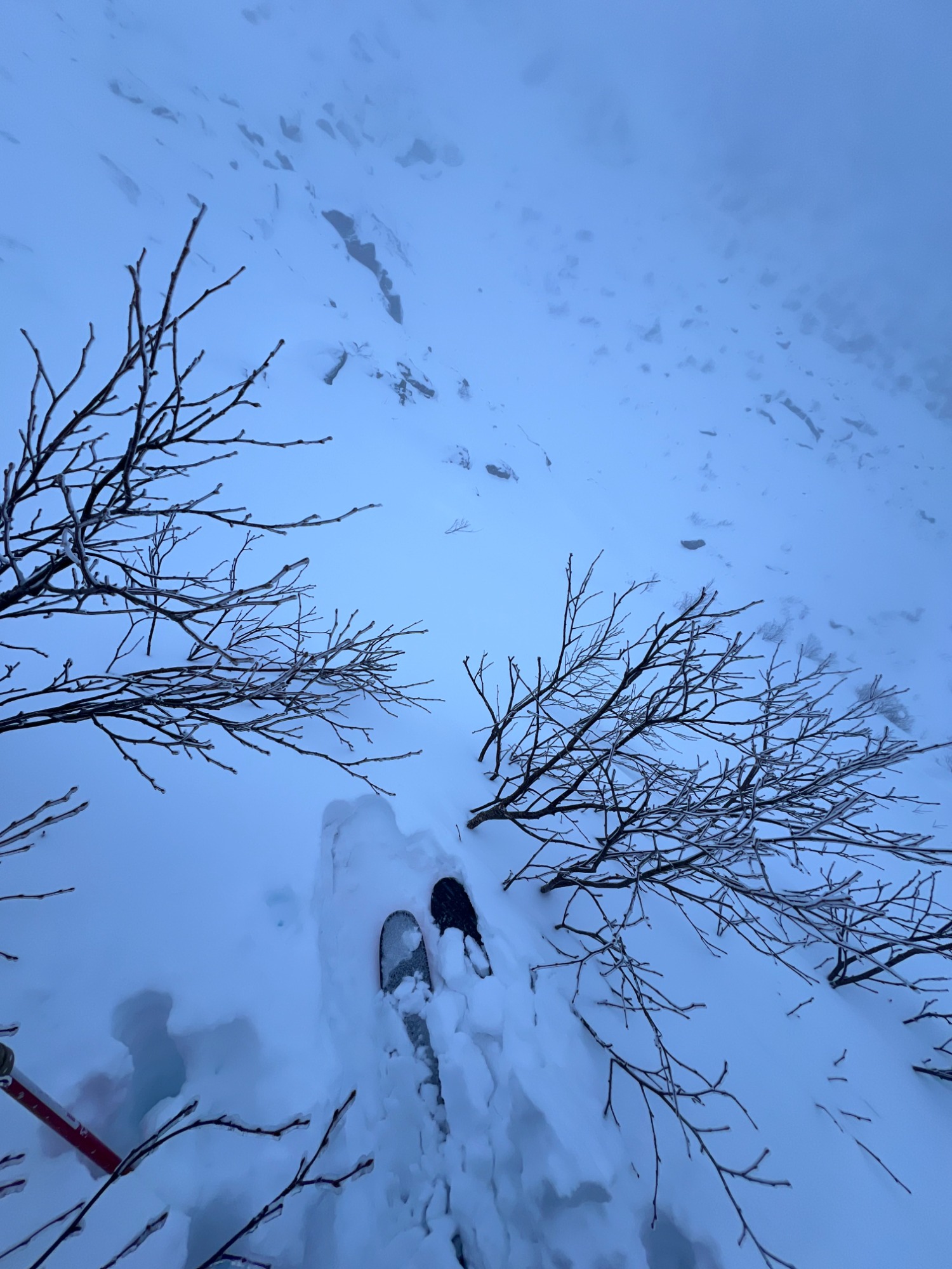
Morning discussion consisted of a conversation and consensus that if there was a 5 scale forecast that likely the hazard for middle and upper elevations would have been considerable as natural avalanches seemed possible with the reported 15 inches of snow from the summit that morning. We discussed that storm slabs were likely the primary problem, with the potential for wind slabs in the afternoon and into the evening as winds shifted back west and increased in speed. Upon entering Tuckerman Ravine at around 1400 winds had shifted from their early direction of S/SE/S/SW to a direct west wind and speeds had increased enough to begin transporting snow around the ravine. Blowing snow was moderate which correlated with moderate wind speeds. Wind effect on the snow was becoming somewhat noticeable and some larger drifts had started to form. Yet to form large consolidated & connected wind slabs, but the process of forming said slabs was becoming apparent. The new snow was largely uniform, with isolated pockets that were deeper. These were typically under steeper, slightly convex features within the trees. The shallowest place observed was 6-8 inches where deeper locations were well above boot top at 2 feet. Most locations observed were 1.5 feet in depth. With limited visibility in the Ravine, it was hard to discern much about start zones. In Chute above the choke, we observed more visible rocks than photos from previous observations and days indicated. As strong western wind continues the soft slabs and loose snow problems will start to transition to hard slab and wind slab problems, caution should be taken in terrain, even a small avalanche taking you off your feet will pull you into unforgiving terrain and obstacles.
Hand shears in isolated pockets of this wind affected snow showed not much energy, but gave the impression that the uppermost layer of the snowpack was beginning to consolidate, this consolidated layer that is beginning to form is sitting on top of a layer of loose unconsolidated storm snow that fell overnight on light winds.Weather
- Air Temp
- 28
- Cloud Cover
- obscured
- Wind Loading
- moderate
- Recent Snowfall
- 43
- Snow Avail For Transport
- moderate amounts
Avalanche
- Size
- D1 R1
- Type
- L
- Aspect
- E
- Trigger
- N
- Elevation
- 5000 ft
We discussed the potential for small natural loose snow avalanches to be responsible and knew that Left Gully had slid naturally and observed more definition within the runout. Our group was also able to observe Empress as it sent down a loose snow avalanche resulting in a large and impressive powder cloud.