
Quick report
Afternoon outing to check access in the Swan Lake area. Seems like we're losing snow..
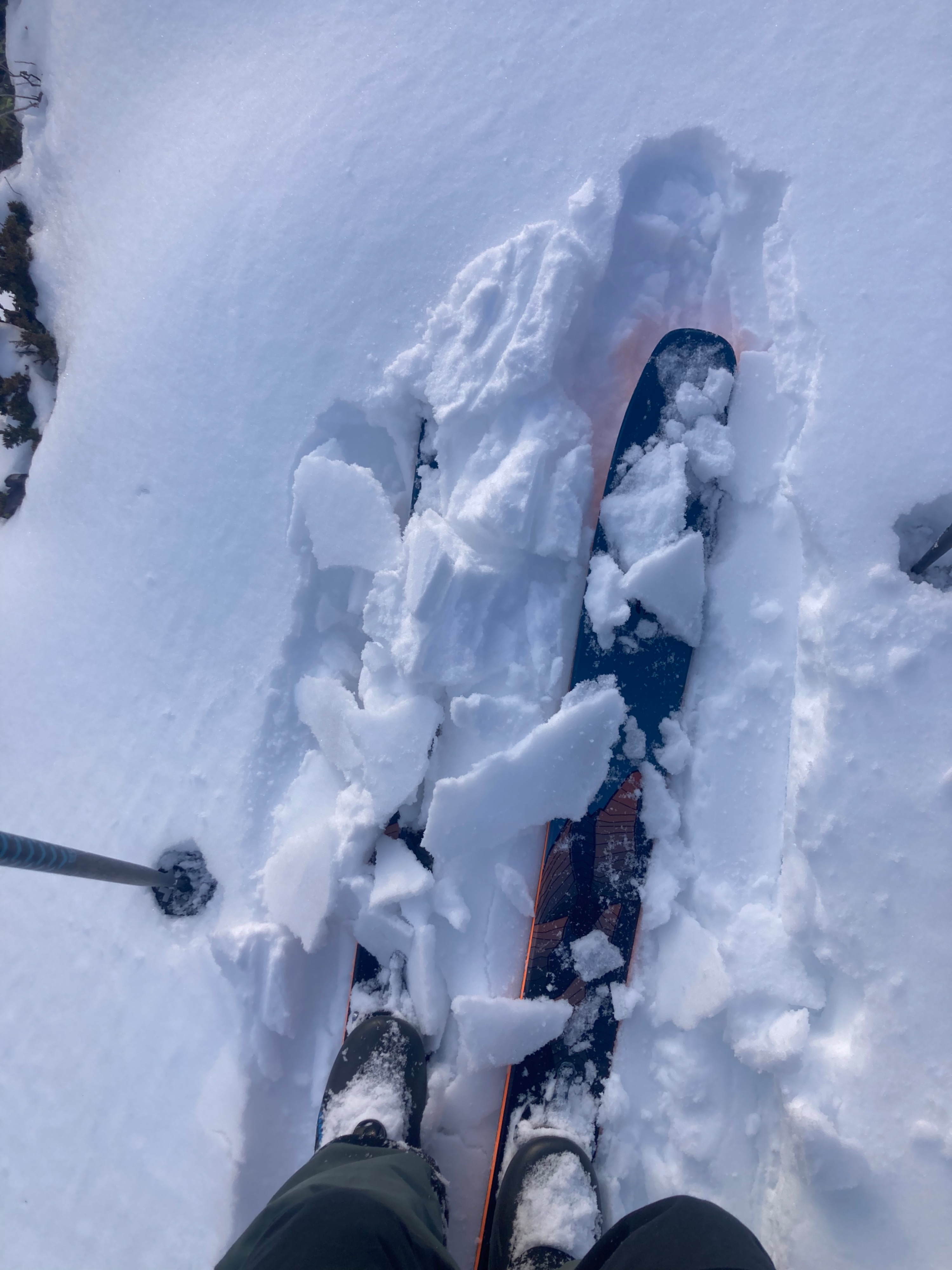
- 2-4 inches of "recent" snow above the 12/22 crust
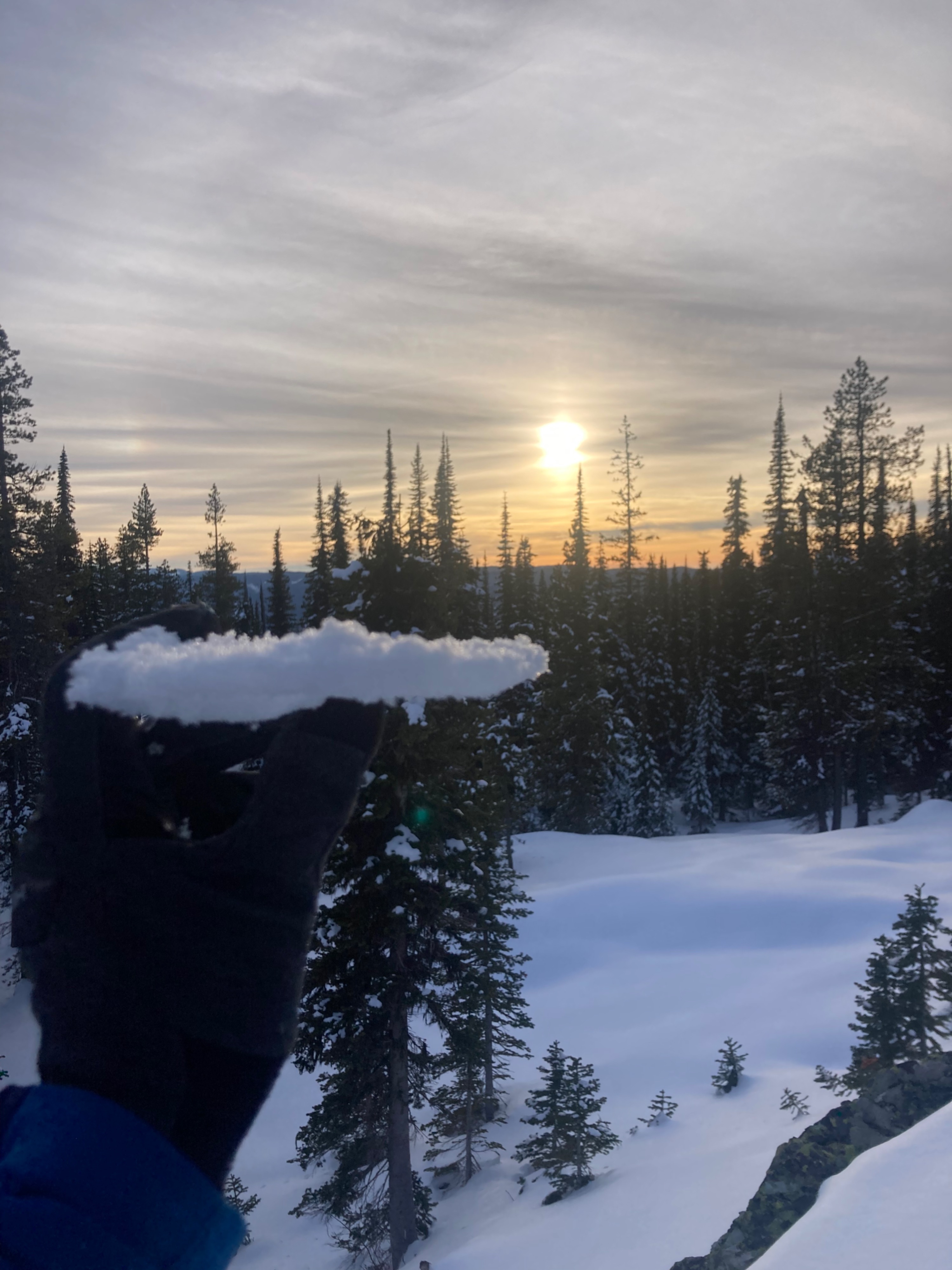
- Snow was wet on sunny slopes up to 6000', and moist to 6200' (high point)
- Shaded slopes were moist up to 5500' and dry above
- Noticed a handful of natural rollerballs
- Winds were calm to light with no sign of blowing snow
- A thin, breakable crust was refreezing on SE slopes by 3:00pm
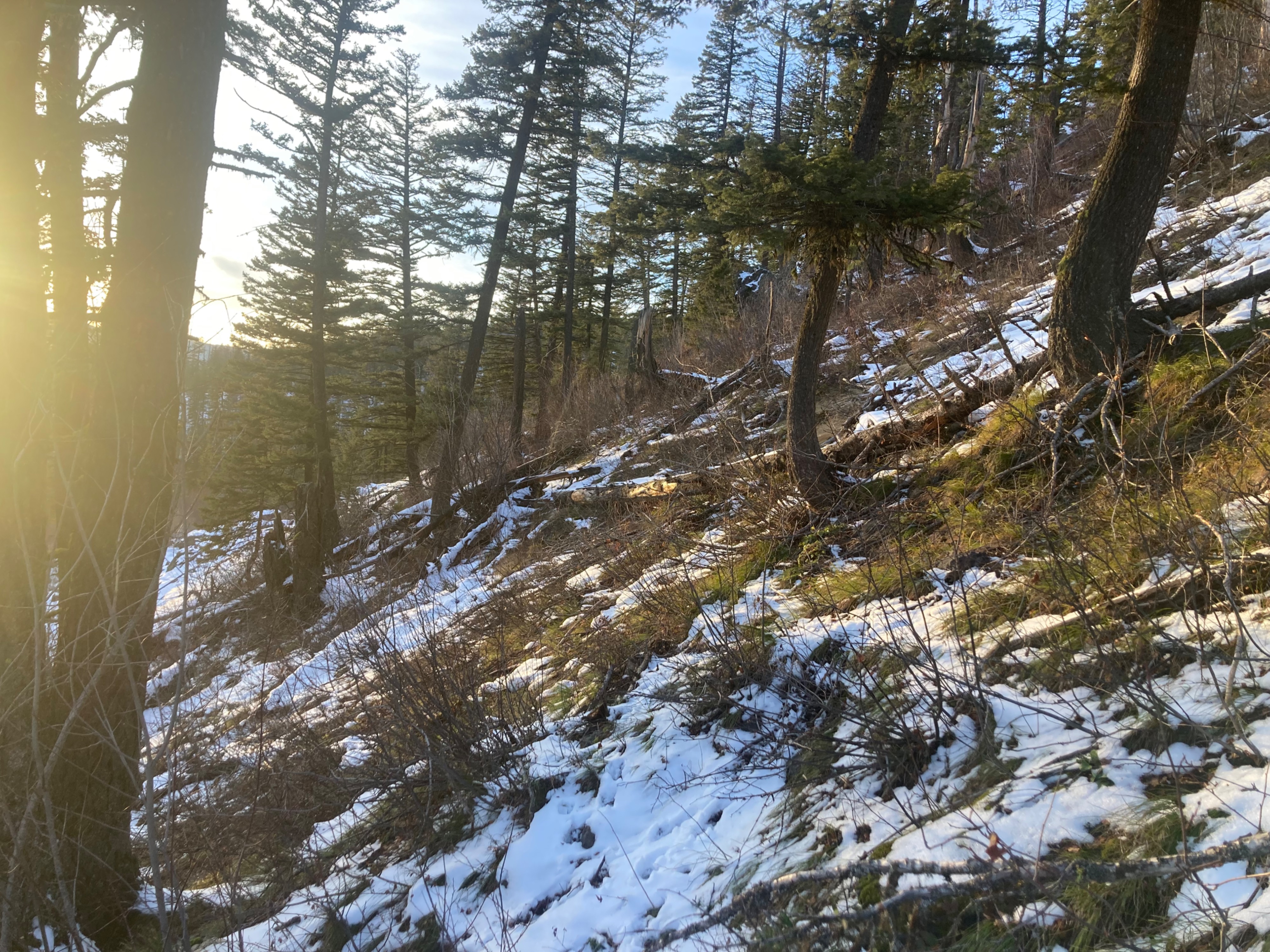
Ran out of snow at 5000' on my descent.
Weather
- Air Temp
- Above freezing
- Cloud Cover
- scattered
- Wind Loading
- none
- Recent Snowfall
- 10
- Snow Avail For Transport
- small smounts
Light SW wind. Increasing cloud cover throughout afternoon.
Snowpack
5-10cm snow from 12/22-12/23. Wet on sunny slopes up to 6000', moist above. Shaded slopes were moist to transitioning to dry above 5500'. By 1500 hrs SE aspects were forming a thin, breakable crust.