
Quick report
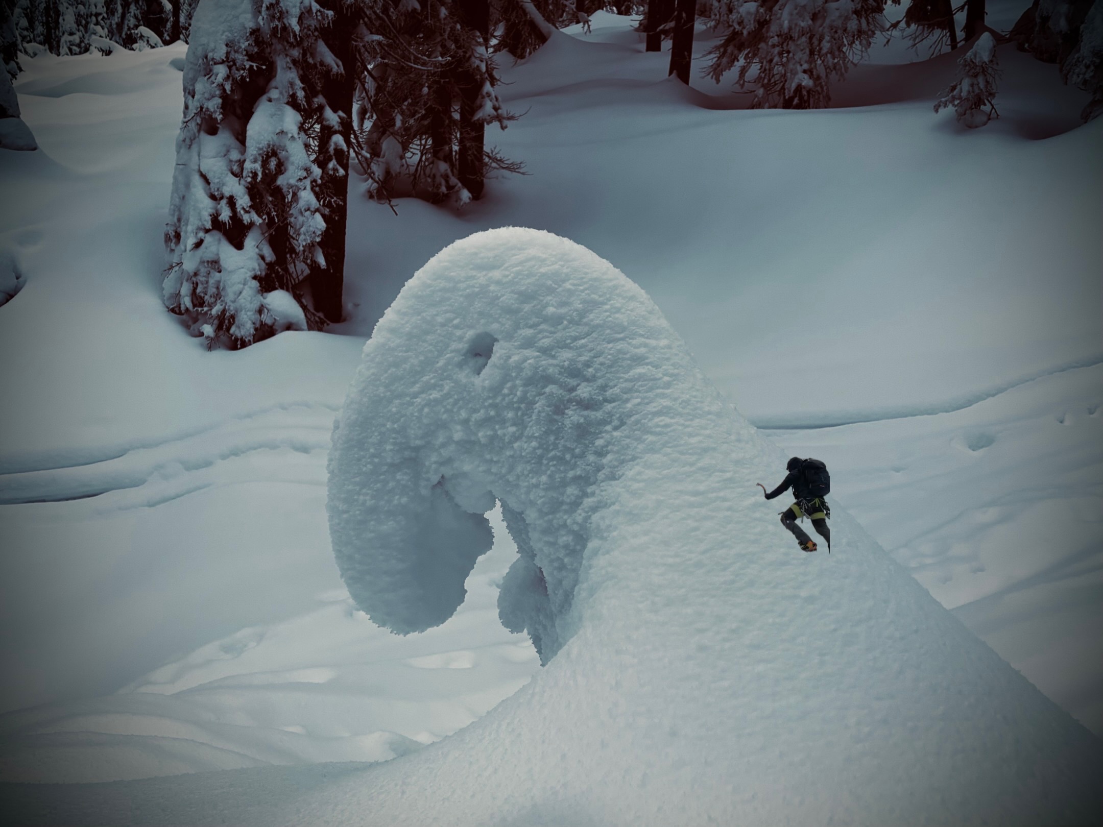
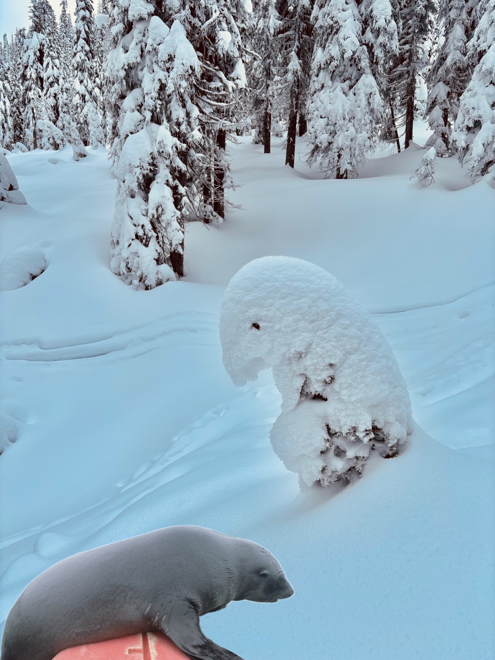
East Bound and down, loaded up and truckin’… Headed east to check out various aspects and look for slab formation above the buried SH layer from early December. We’ve got a long way to go and a short time to get there… -2-3 cm of new snow helped to refresh the upper snowpack, however, a strong temperature gradient between 15 and 50 cm has begun to form a slab on top of the SH and AR layers. There was no signs of failure within or below the slab in areas I traveled through. -Nice to see stumps, down logs and alder starting to be buried over the last week. Ran into a few friends who are waiting for more snow (see attached images). No signs of instability were observed today. Limited travel to slopes under 35 degrees.
Weather
- Air Temp
- 21
- Cloud Cover
- obscured
- Wind Loading
- none
- Rain Elevation
- n/a
- Recent Snowfall
- 2-3
- Snow Avail For Transport
- small smounts
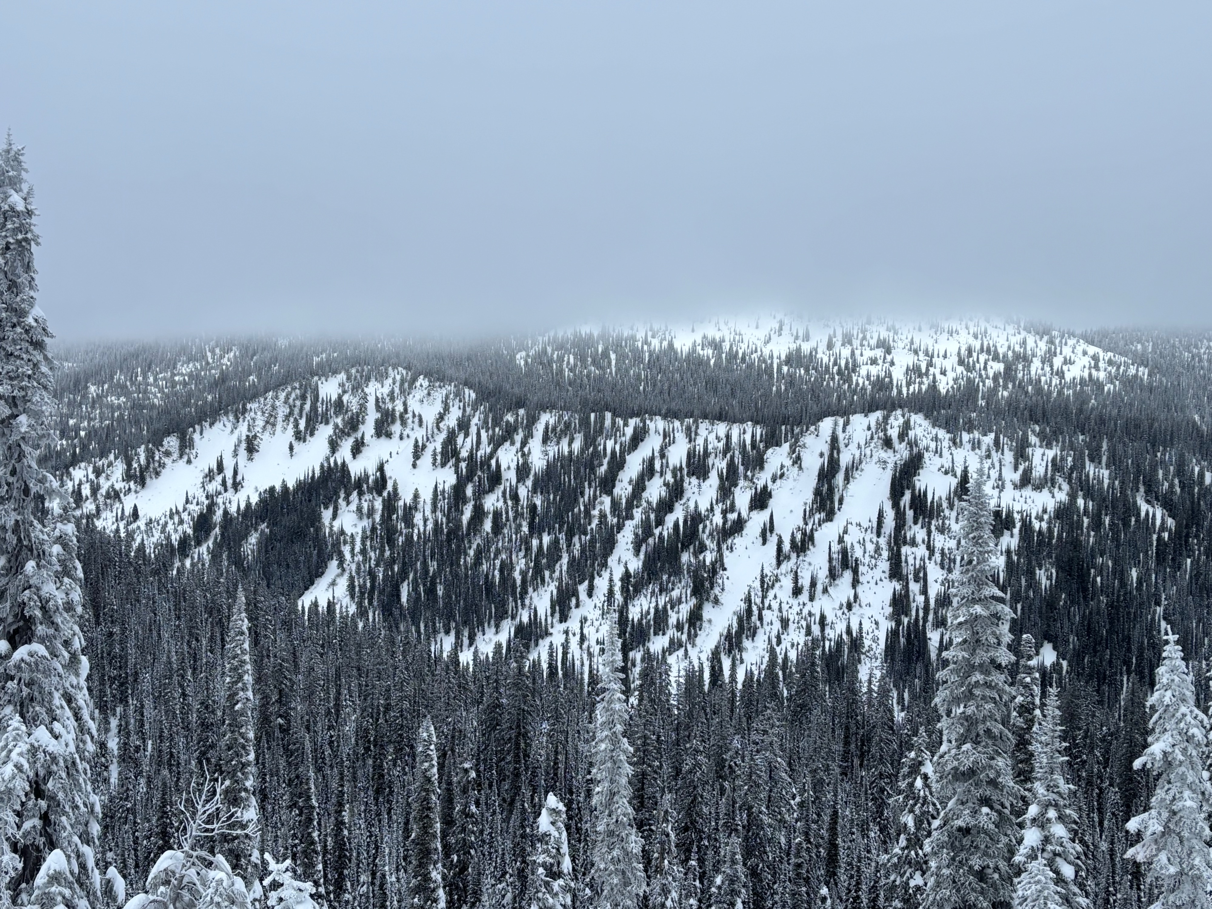
Cloud deck hovered between 6500-6900’ allowing for short glimpses into the canyon and valley floor before visibility became reduced.
Snowpack
Poked around various aspects ahead of the storm system that will hopefully hit later tonight… -2-3cm new snow overnight -Easterly aspects at 6800’ -snow depth: 105cm -SH and AR layers still obvious with a strong temperature gradient below to just above the SH layer. Crystals trending toward rounding and forming a cohesive slab. -Instability Results: ECTN27, PST 89/100 END down 25 cm on early December SH, PST 98/100 END down 45cm on AR crust. -Snow depths on various aspects ranged from 100 to 130cm. -SH was still standing in most sheltered areas, however, slab was beginning to form just above SH layer on E-S-W aspects.