
Quick report
Cold temps have kept new snow soft and enjoyable. With no screaming red flags and around a dozen sleds jumping on test slopes with no activity. For now, stability seems to be fair to good without a true slab over the crust/facet combo layer. However, with forecasted cold temps for the long term, that weak layer will continue to lose strength. Take it one day at a time and keep looking at this layer of concern.
Weather
- Air Temp
- 20
- Cloud Cover
- few
- Wind Loading
- none
- Rain Elevation
- None
- Recent Snowfall
- ~30 cm
- Snow Avail For Transport
- large amounts
Broken skies in am to full blue by pm. Calm N winds and cool temps.
Snowpack
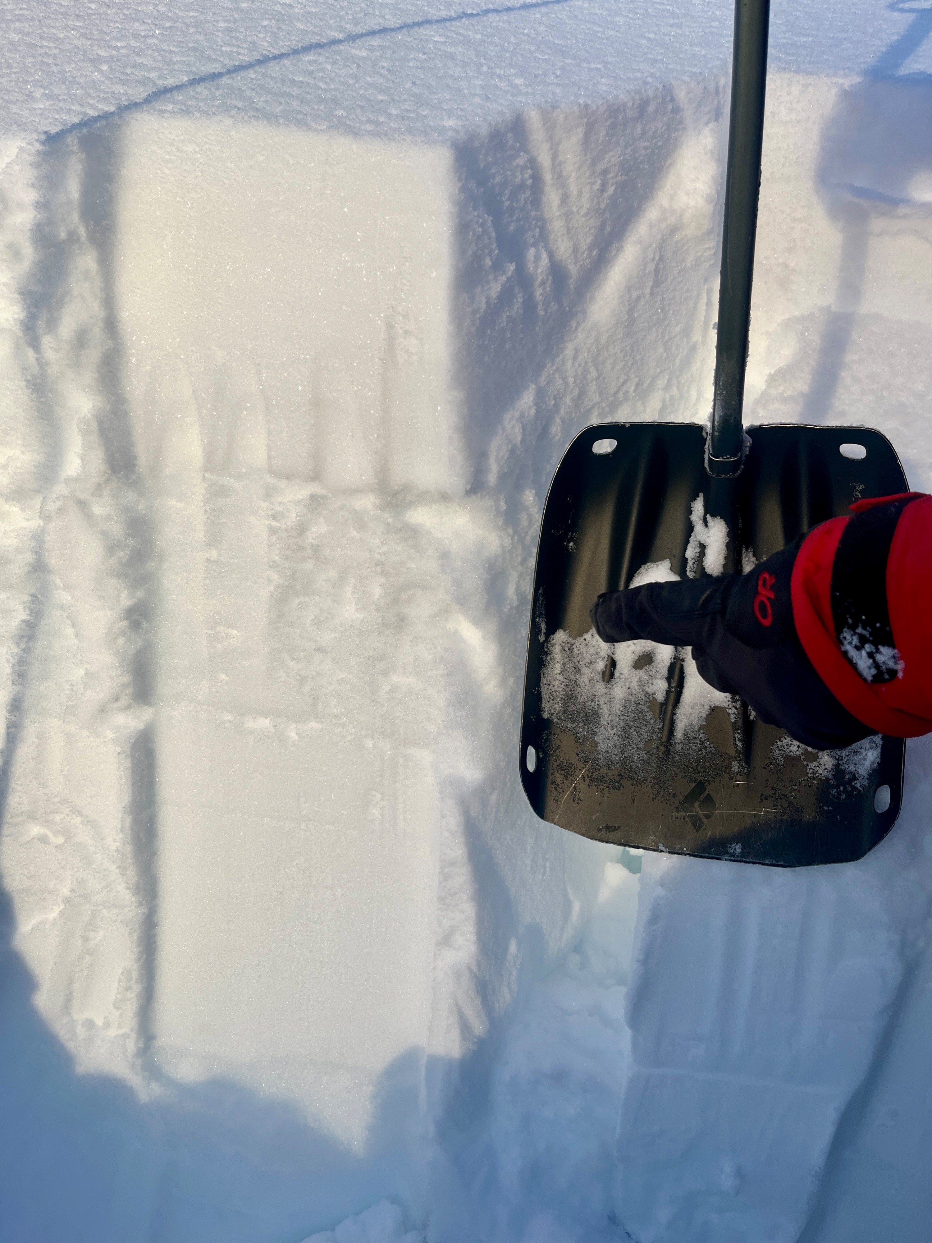
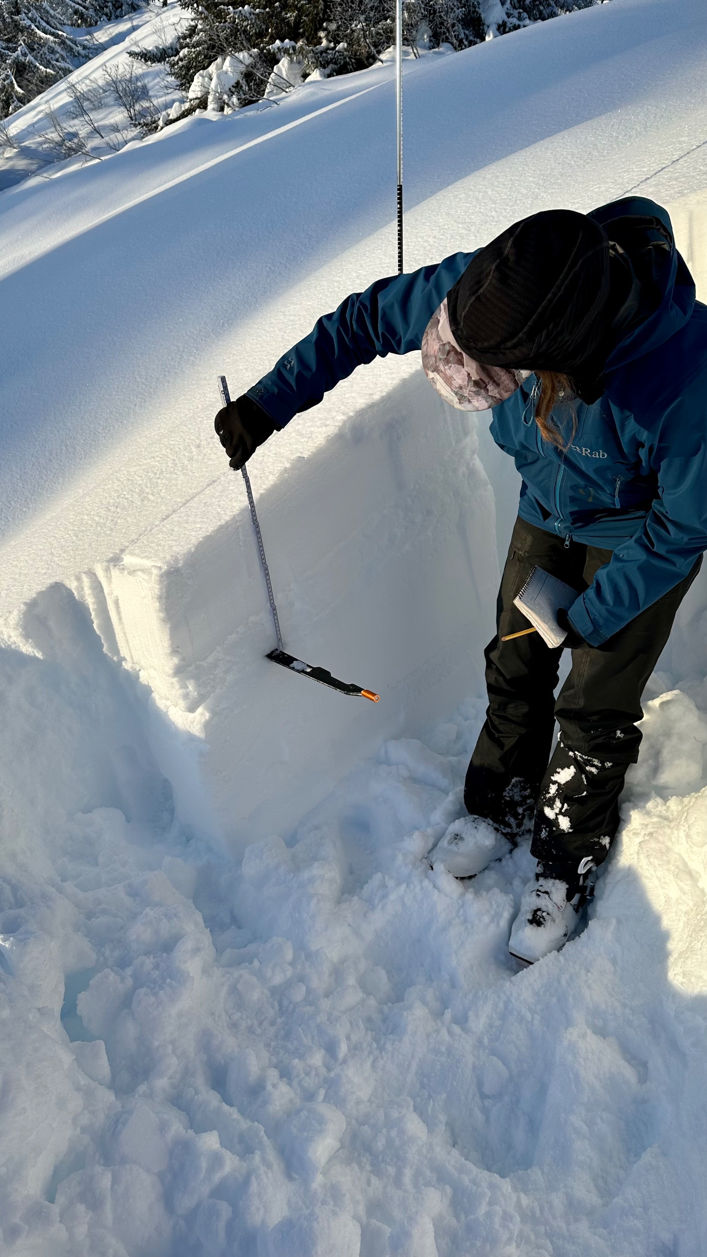
Top of the pack has around 1 foot of soft snow that has near surface facets (NSF) growing . Under that is the EYO crust/facet combo, which is 10-15 cm (4-6 ") thick and has poor structure. The facets on the bottom of this layer showed high likelihood for propagation with a PST 24/100 End down 36Cm (12"). Mid pack is strong and right side up, but a melt freeze (MF) layer from the Xmas storm is present down 60-90 cm (2-3').