
Quick report
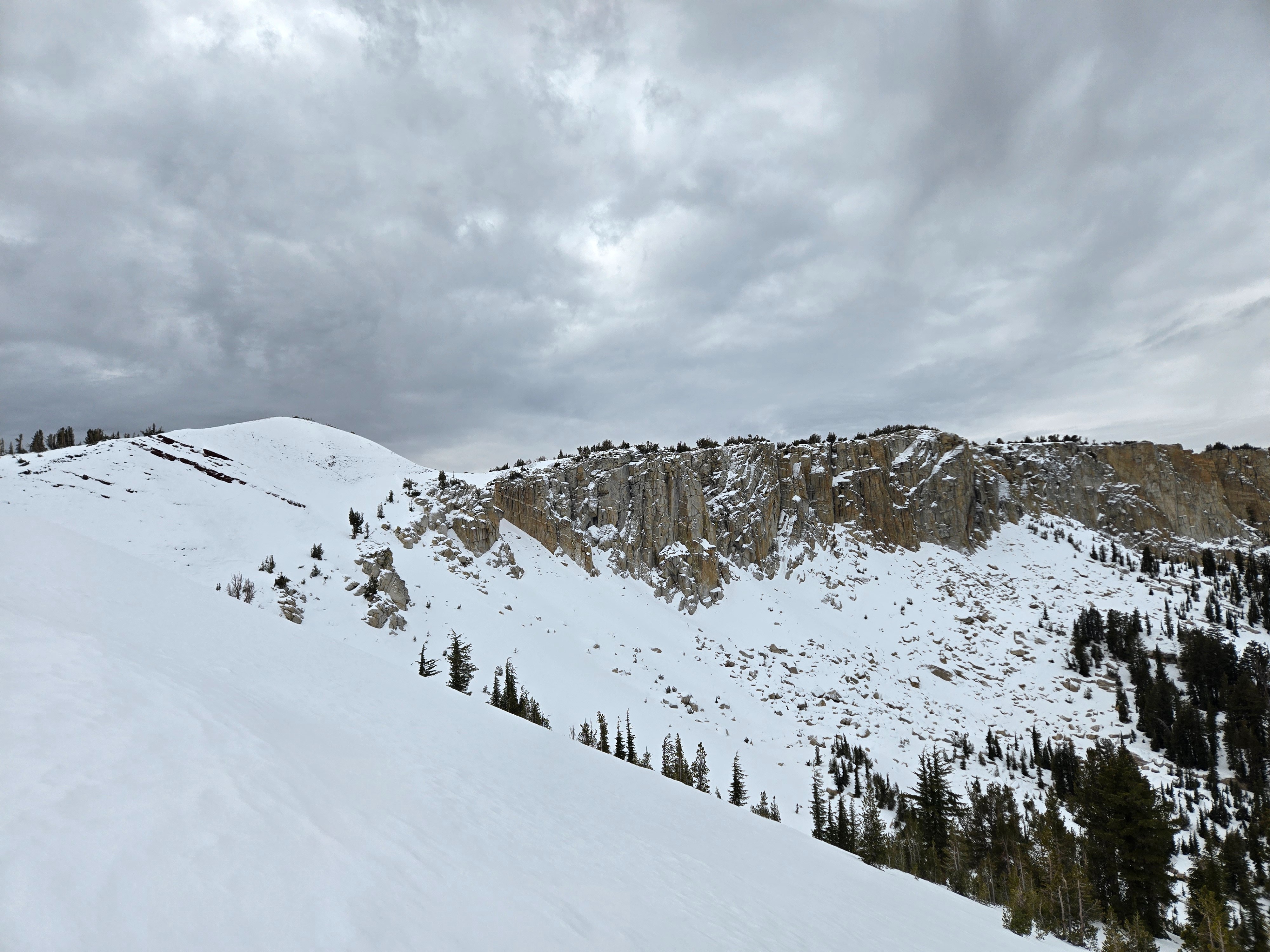
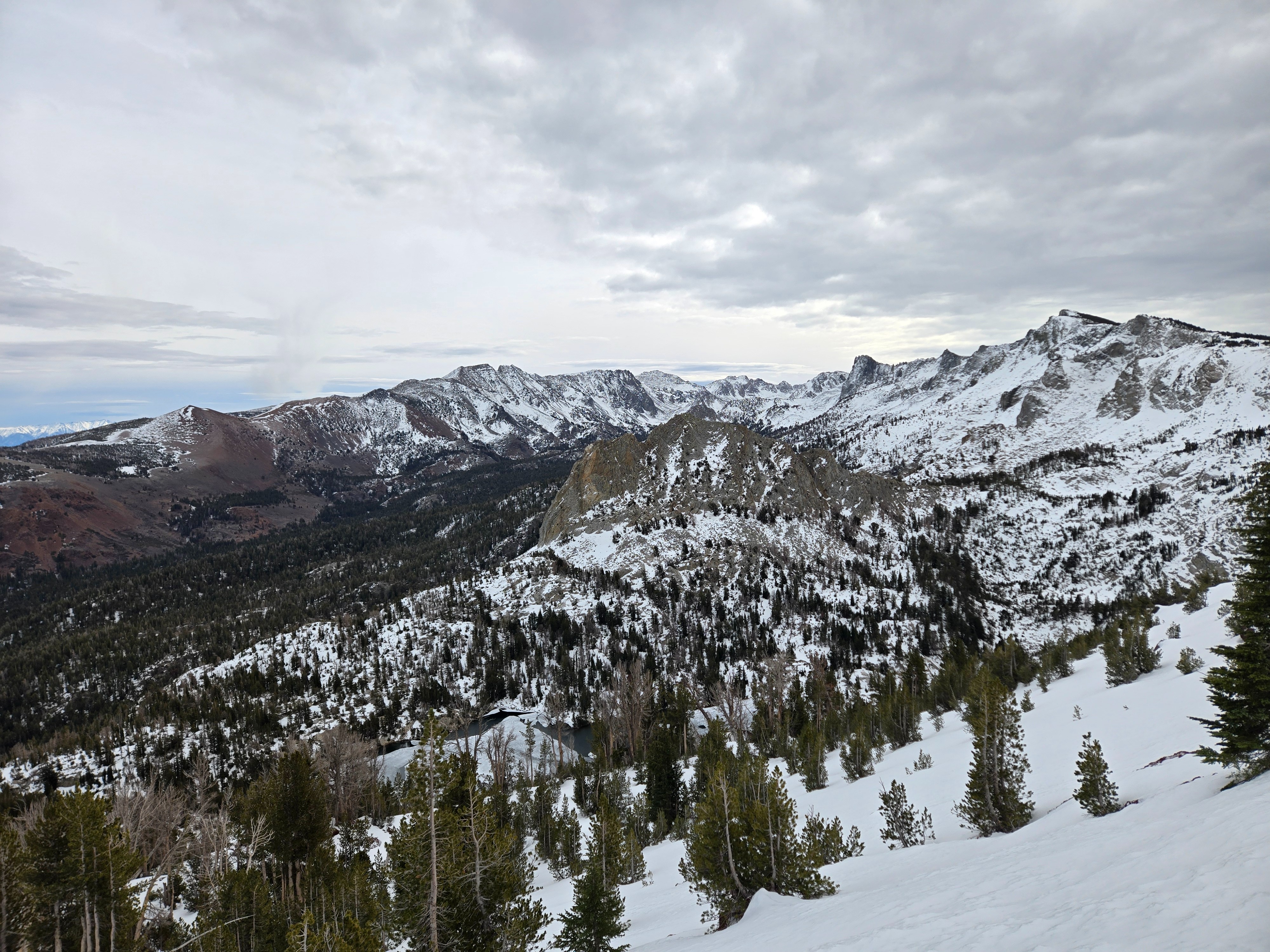
I crust-busted and got busted by crust on the Mammoth Crest to see what new snow from the upcoming storm will fall onto.
- The snowpack is shallow, and most coverage is confined to north-facing terrain above about 9,000 feet in the Lakes Basin.
- Almost all surfaces consist of a rain crust that gets icier and harder the higher you go.
- Under the crust, the snowpack is weak and faceted.
Weather
- Air Temp
- Above Freezing
- Cloud Cover
- broken
- Wind Loading
- none
- Rain Elevation
- Below 8500 ft.
- Recent Snowfall
- Trace
- Snow Avail For Transport
- small smounts
Gusty winds out of the southwest were not blowing much snow around. Skies were mostly cloudy throughout the day, with a period of clearing late morning. Temps were near or above freezing.
Snowpack
- A rain crust is now at the surface of all the snow I traveled on. The crust gets icier and harder the higher you go (from 1F and breakable to K and impenetrable).
- Below ~9,000 feet: little snow cover.
- 9,000 feet-10,000 feet: patchy coverage confined to northerly, sheltered slopes. Snow depths up to 8 inches. The whole snowpack I saw was dry facets under the surface crust.
- Above 10: snow depths from 1-2.5 feet. Weak faceted snow under the surface crust. The whole snowpack is dry. The most continuous coverage is on slopes tilted towards the northern half of the compass.