
Quick report
Our goals for today were to go up into McGee Creek and look at a variety of aspects, as well as compare snowpack depth and structure to areas both north and south.
We found that there is more snow than Rock Creek and south, but less snow than Mammoth and June. McGee seems to be the current transition zone from north to south, and the depths and structure are similar to what I saw in Lee Vining yesterday.
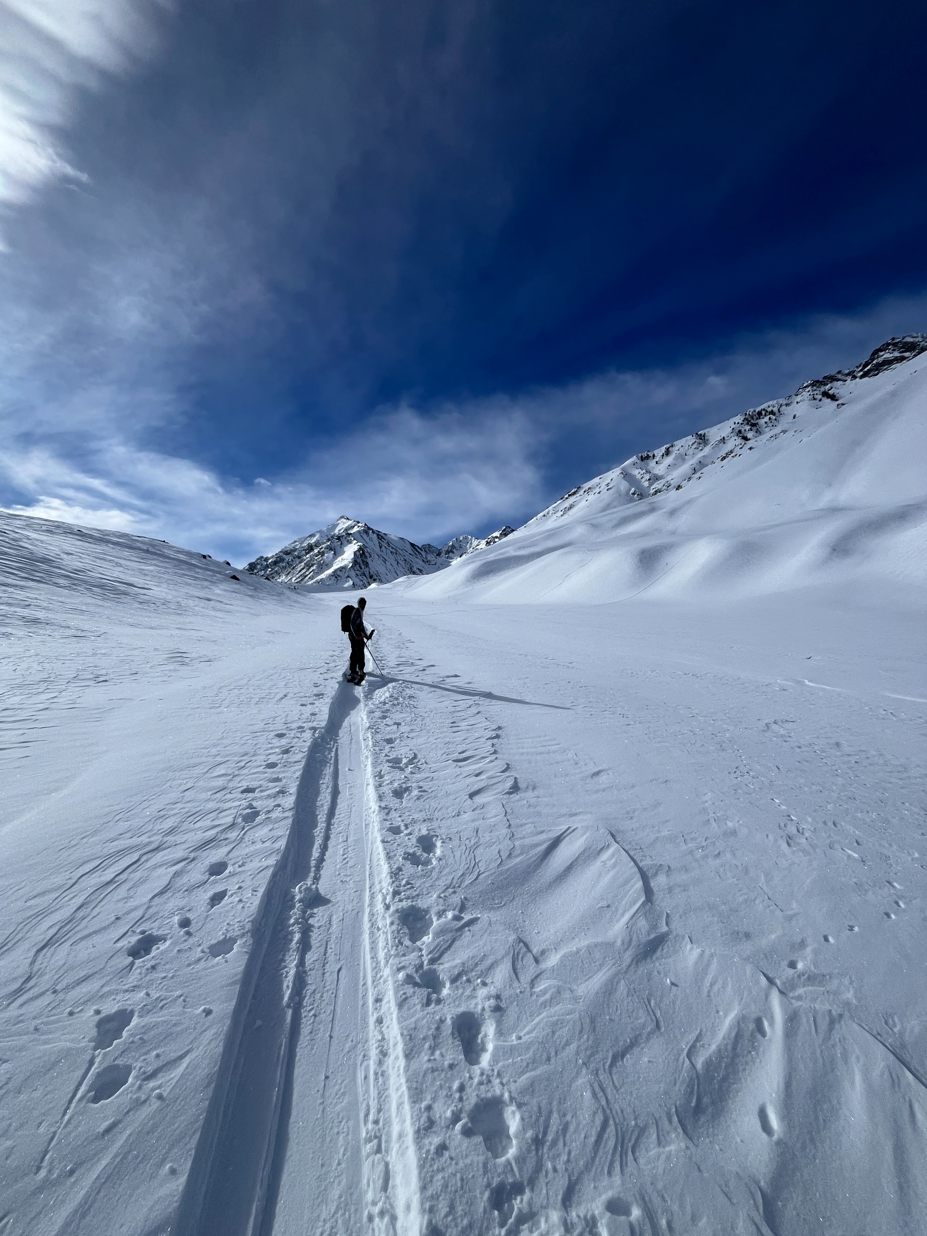
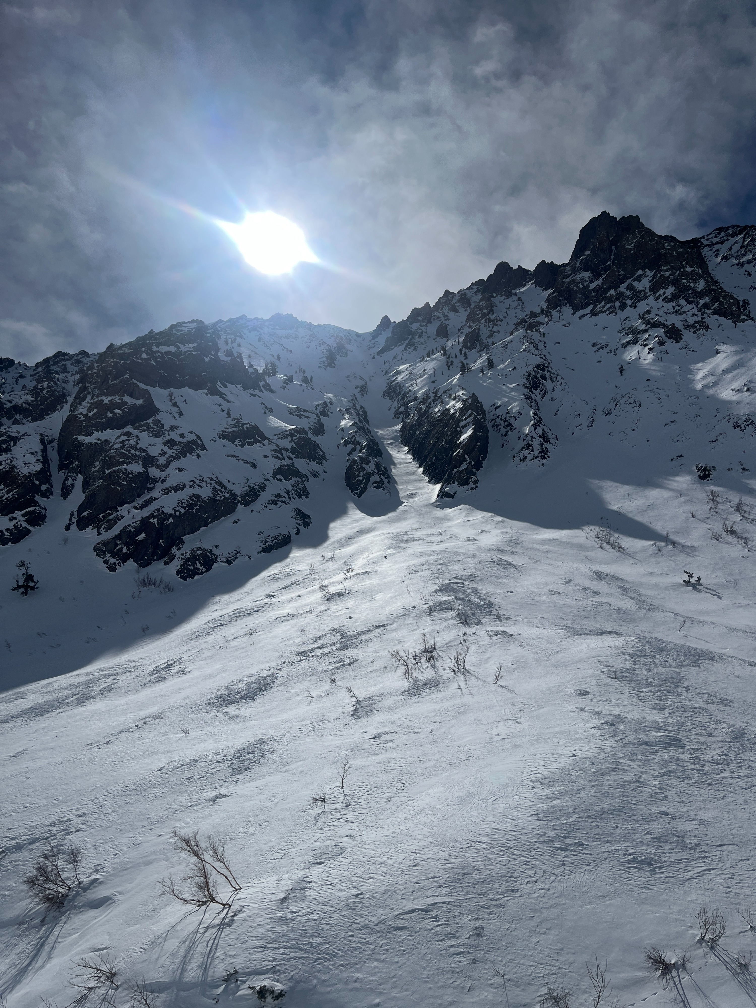
We saw evidence of several old, very large avalanches that ran sometime during the last storm. Debris from these slides helped ease the otherwise difficult creek crossings on McGee Creek.
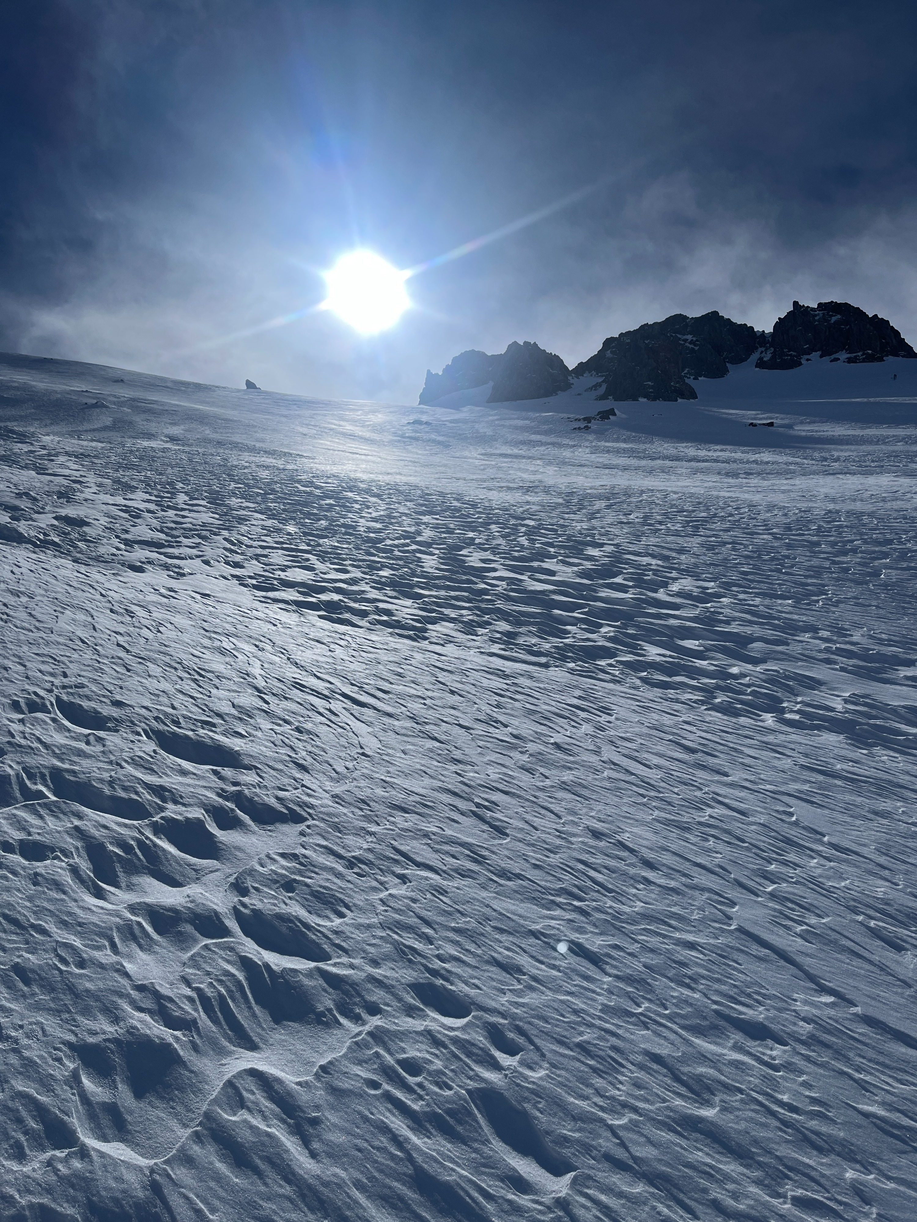
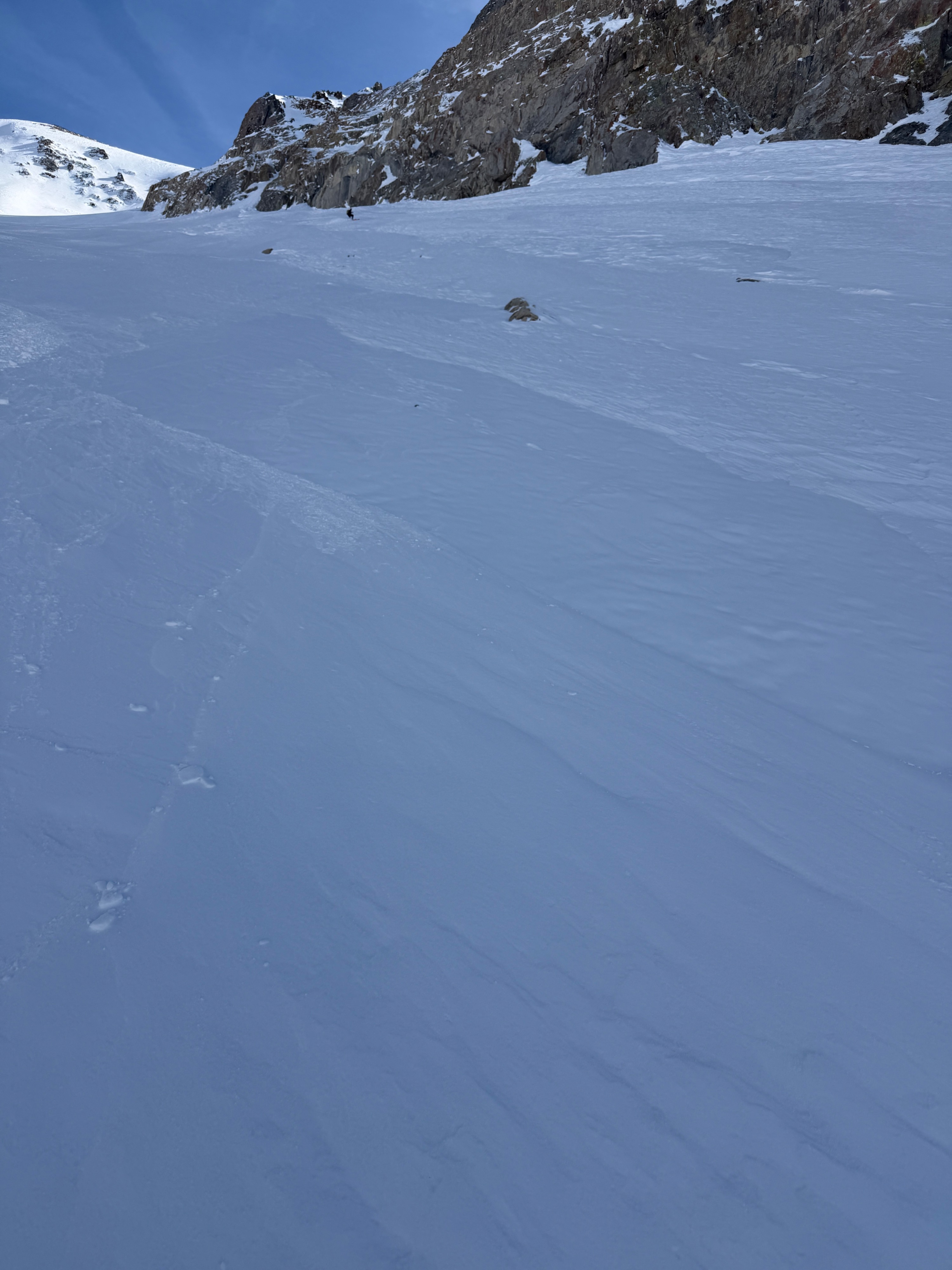
We ascended the track of one of these large avalanches up to 10800, and found that nearly all of the new snow had slid or gouged, and depths were quite shallow throughout. Small, stiff, stubborn wind deposits had blown back onto the bed surface. These wind slabs were pencil hard and supported skis, but we found a lack of wind slab instability otherwise.
We observed many large solar slopes with plenty of new snow, but did not see any signs of natural wet snow instabilities. Based on what we felt on low angle solars though, we thought it would be possible for a skier to trigger loose wet on south-facing slopes in the middle of the day.
We observed continued poor structure on north through east aspects, but did not observe other signs of persistent instabilities.
Weather
- Air Temp
- 25-35
- Cloud Cover
- few
- Wind Loading
- light
- Recent Snowfall
- None
- Snow Avail For Transport
- small smounts
Cold and mostly clear in the morning on Crowley Lake drive. Temperatures warmed quickly once we gained a few hundred feet of elevation up canyon. Winds were light throughout the day, but were gusting to moderate and blowing small amounts of snow around near ridgelines.
Snowpack
The snowpack depth and structure are similar to Lee Vining and Lundy, both of which we've visited lately. Less snow than Mammoth and June, but more snow than Red Mountain and areas south.
HS @ 7000: 80cm
HS @ 8100: 130 to 150 cm. The 2/10 interface (crust and facets) is down 80 cm from the top.
HS @ 10000: 80 to 150+ cm. We mostly travelled in the track of an old, very large avalanche, and snow depths were shallow where most of the snow had been removed. What was left was a mix of facets, crusts, and some new stubborn wind slab.
We found wind slabs to be stubborn and specific. We found poor, persistent structure but observed no avalanches, collapsing or shooting cracks. We observed no evidence of natural wet snow instabilities on solar slopes, but felt like we could initiate loose wet snow if we had been up there midday.