
Quick report
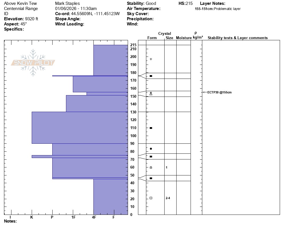
Our goal was to determine how different or similar the snowpack between Lionhead and the Centennial Range are. They have fundamentally a similar structure but as one gains elevation in the Centennial Range, the snowpack gets up to 230 cm deep and the mid-snowpack layers are pencil to knife hard from the December warm up when there was melting, warm snow storms, and rain.
Below 9000,' basal facets are moist and rounding. They are dry and 4F hardness above 9000,' but they are insulated from triggers by a massive and hard snowpack. There may be isolated, high-elevation and rocky slopes with a thin, trigger spot that a human-triggered avalanche remains possible but they are few and far between. We will primarily be dealing with instability within new and wind-drifted snow unless we bury new weak layers.
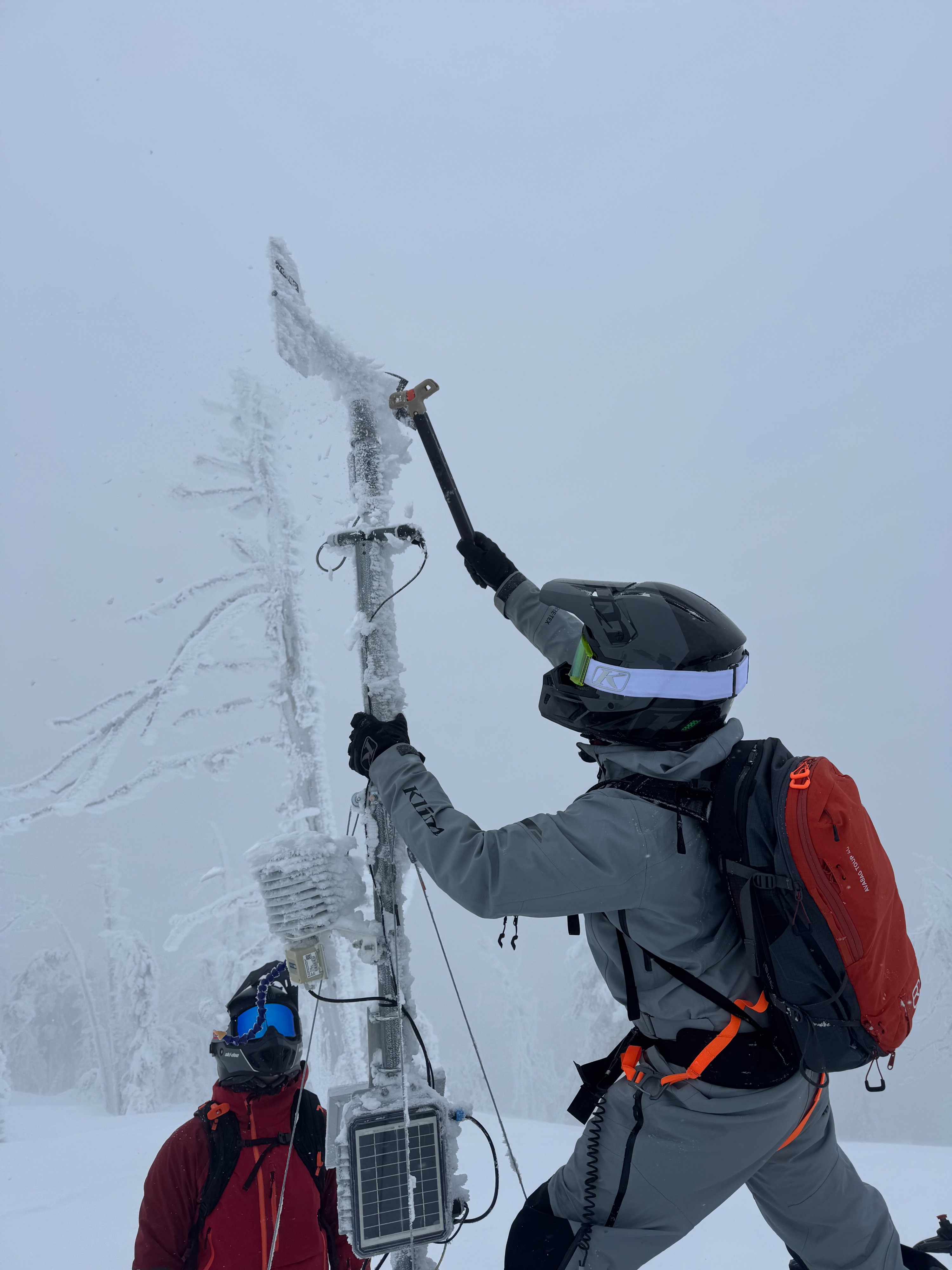
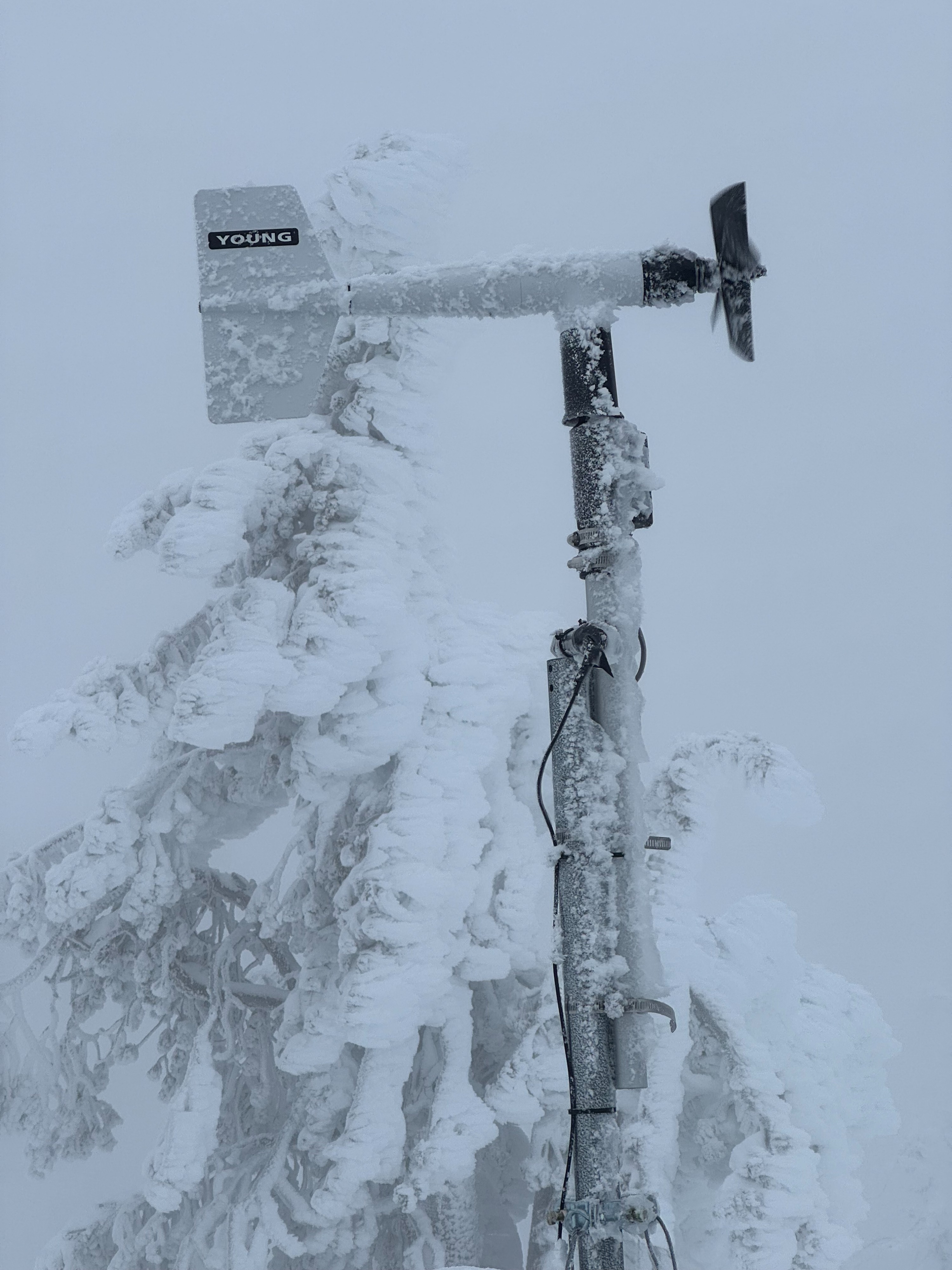
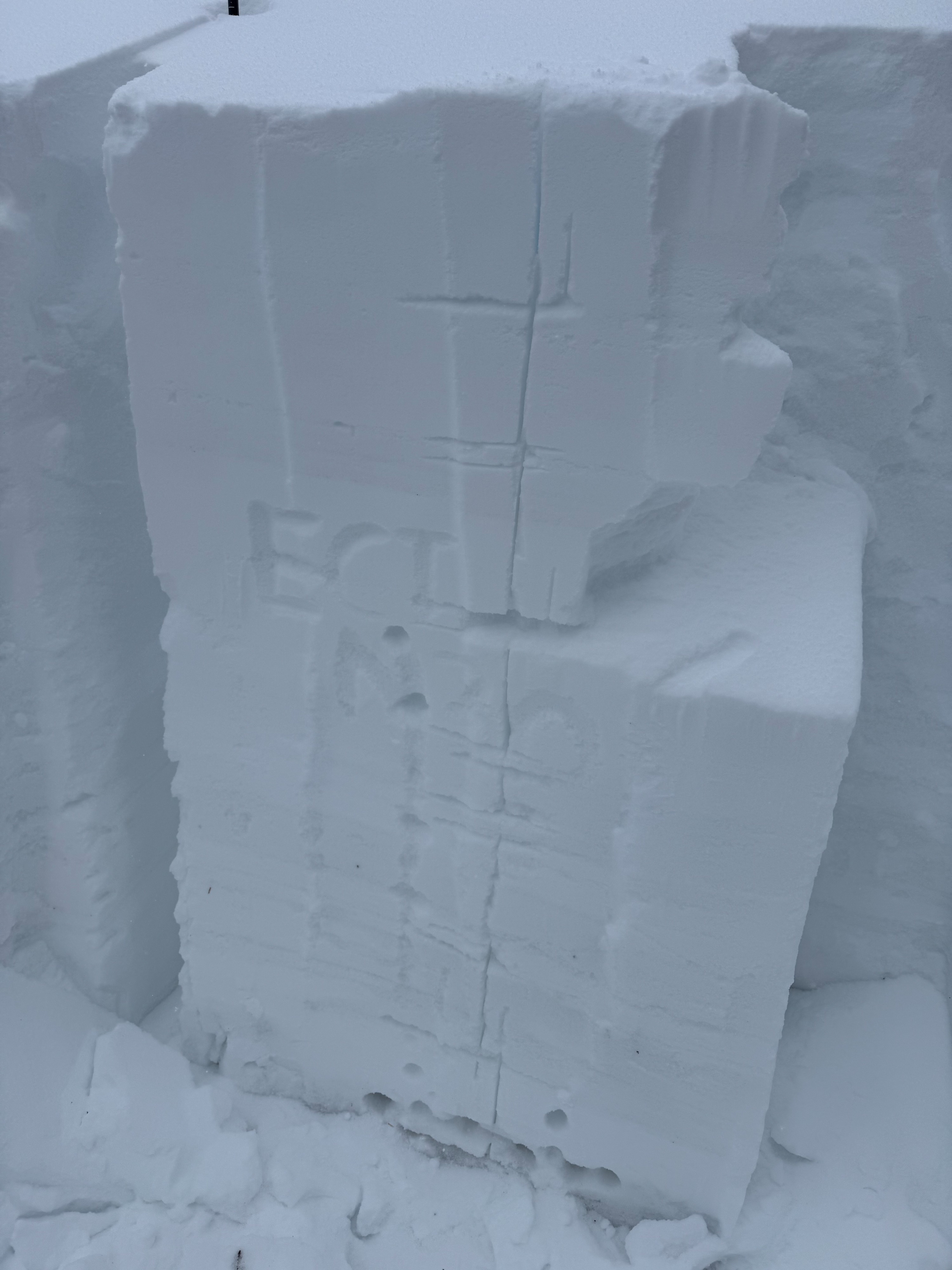
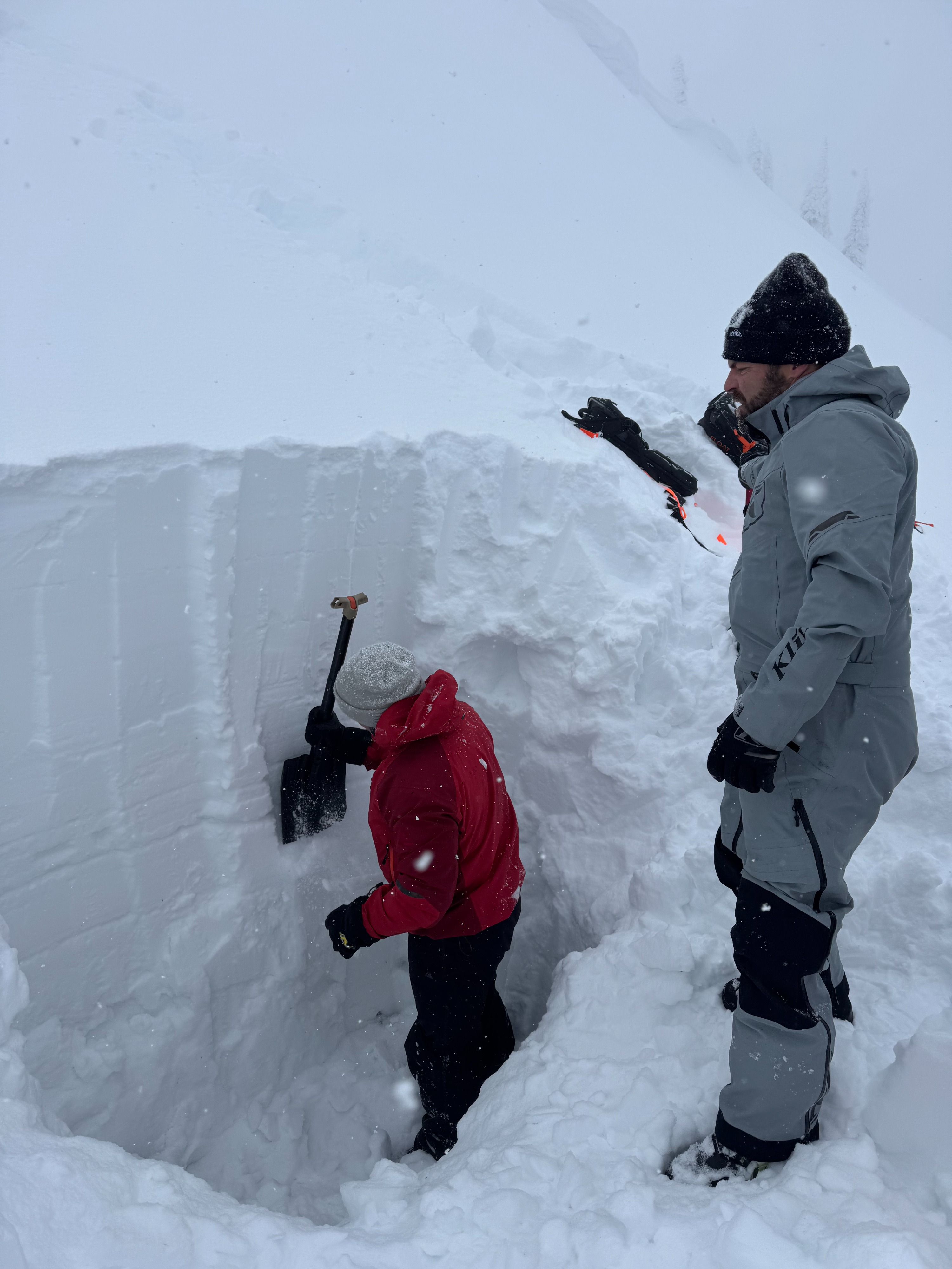
We dug at our weather station on the corniced ridgeline (ECTN30 at a storm interface) and at the top of the Kevin Tew Hill (ECTP26 on an upper snowpack storm interface).
Weather
- Cloud Cover
- overcast
Overcast skies, snowing up to S1 throughout the day.