
Quick report
- Cracking
- isolated
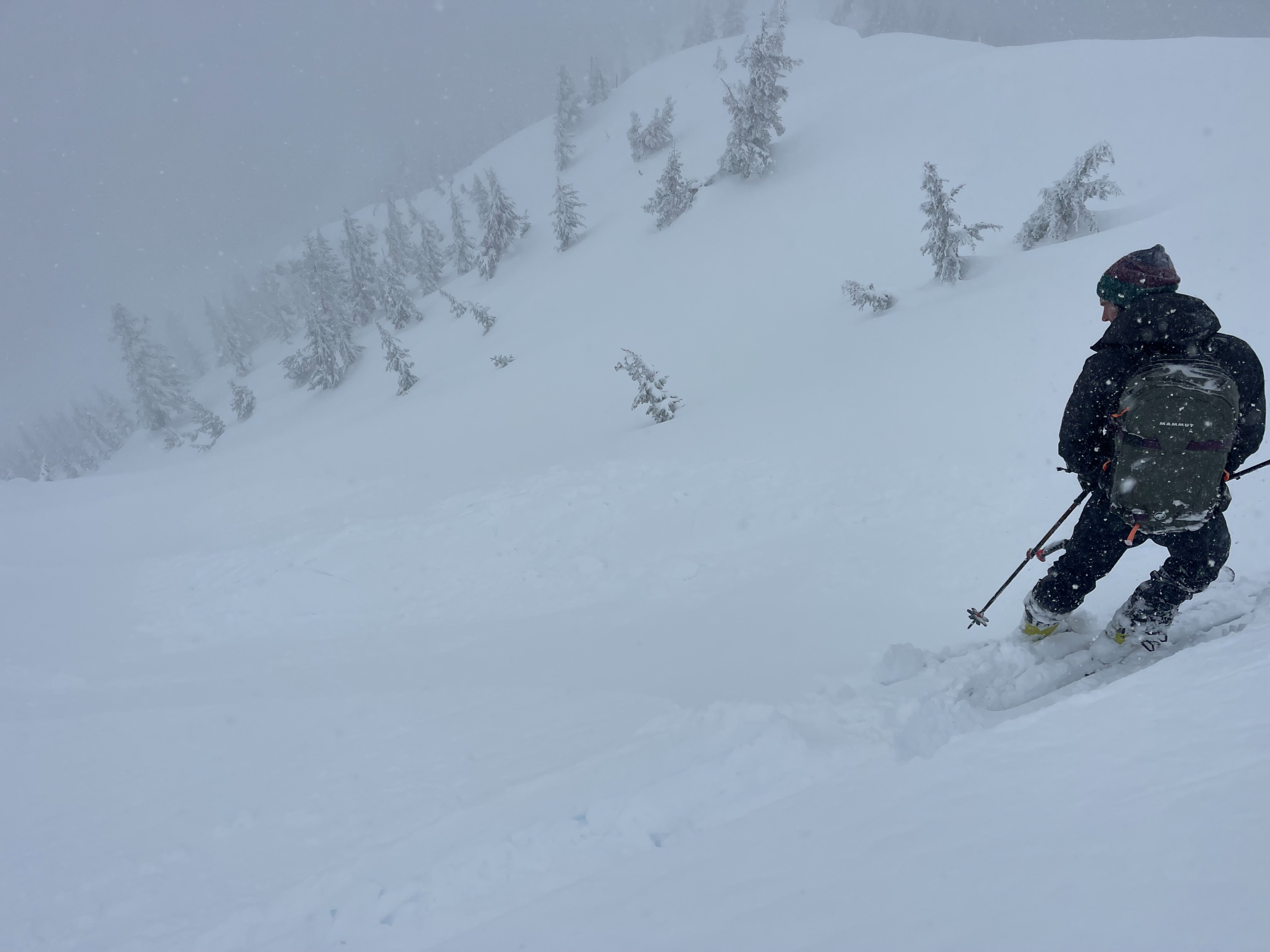
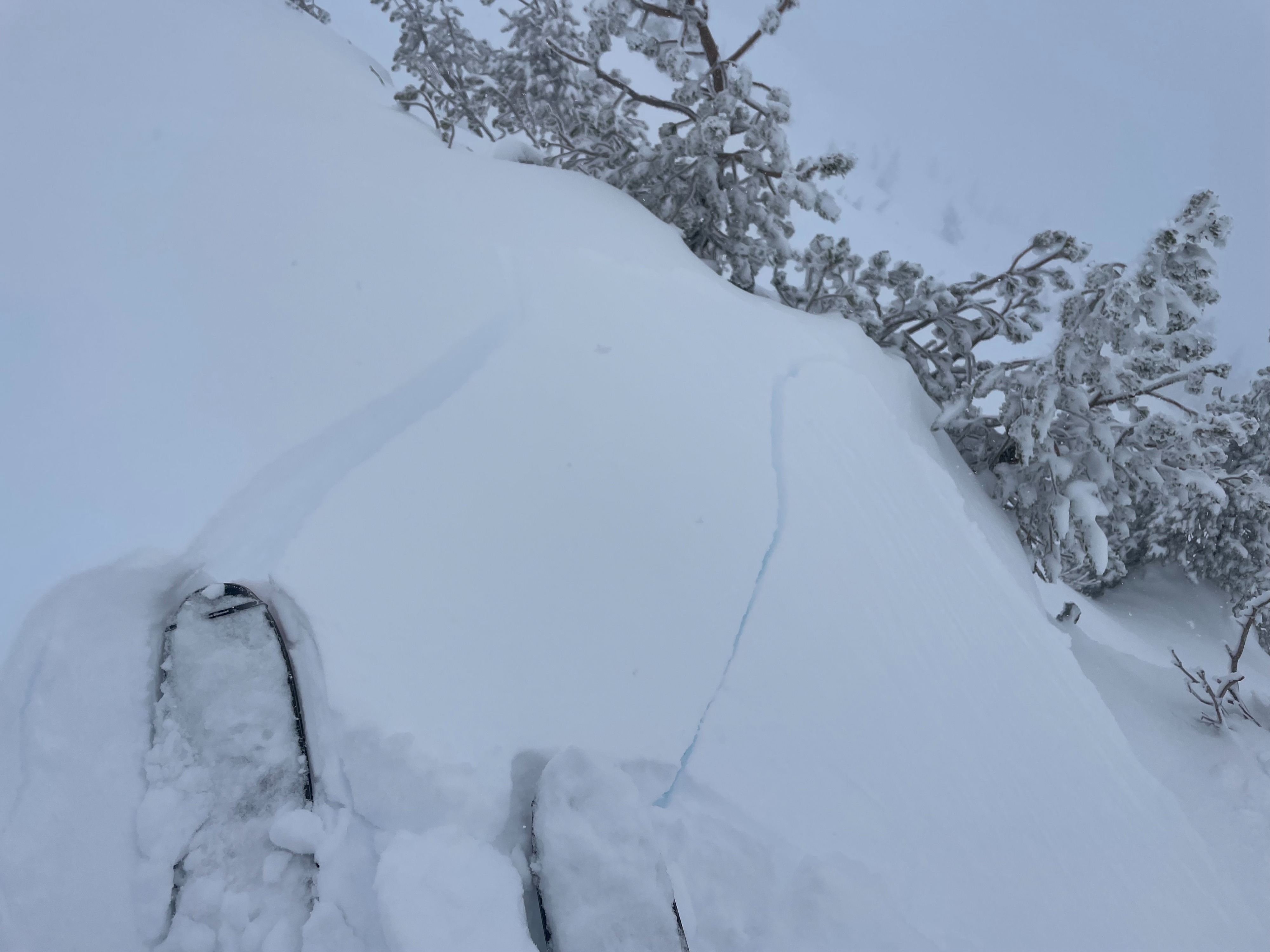
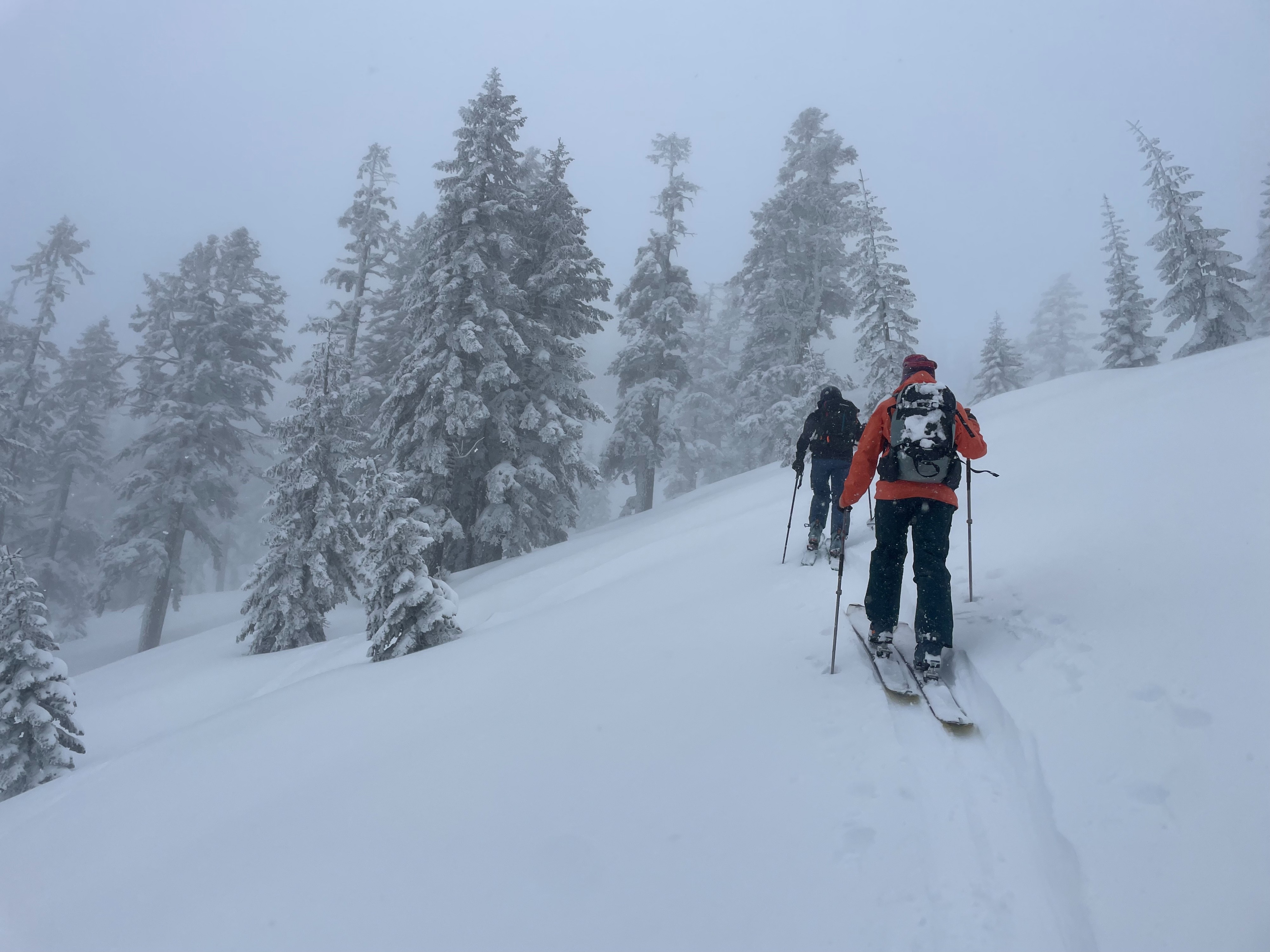
Today's objective was to investigate storm and wind slab instability associated with the fresh snowfall. The last 24 hours provided a solid refresh to terrain above 6,000 feet, hiding the old surface crust below a right side up snow structure. Snow accumulations vary with elevation. Lower elevations (~5,000 feet) have ~5 inches of fresh snow, while higher elevations (8,000+ feet) hold 10–14 inches, with some areas extra deep due to accompanied wind loading. Regarding storm slab activity, cracking could be initiated with skis within the new snow, failing on a density change 6–8 inches down from the surface. In some areas, more significant cracking was observed. Most slopes failed in the form of 4×8 foot slabs, but isolated areas propagated up to 30 feet wide. Though some of these findings showed moderate instability, this storm slab problem could settle out quickly with a break in precipitation. Wind slab findings were minimal in the observed terrain. The most severe wind transported snow resulted in a couple extra inches of snow on northerly slopes.
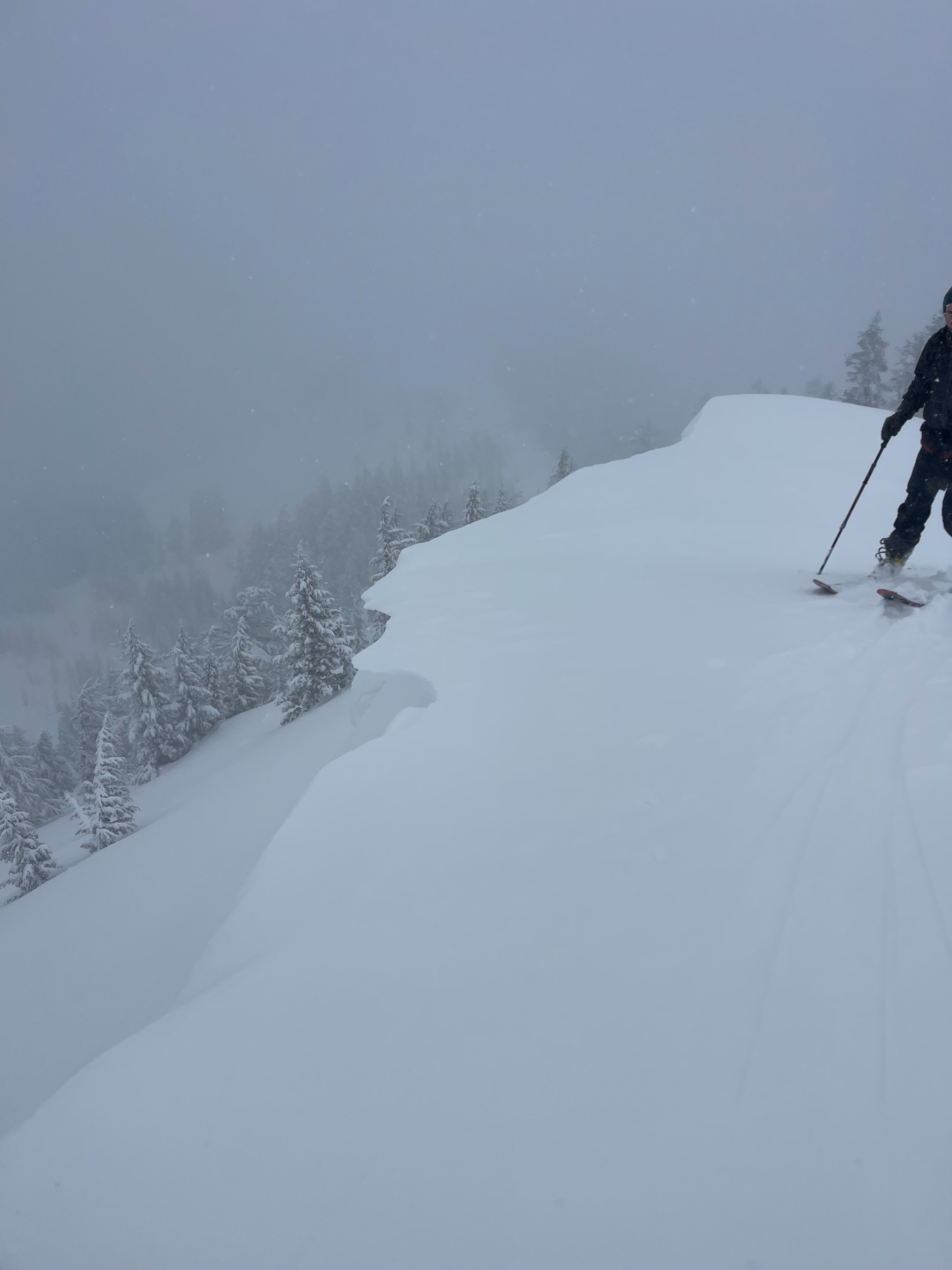
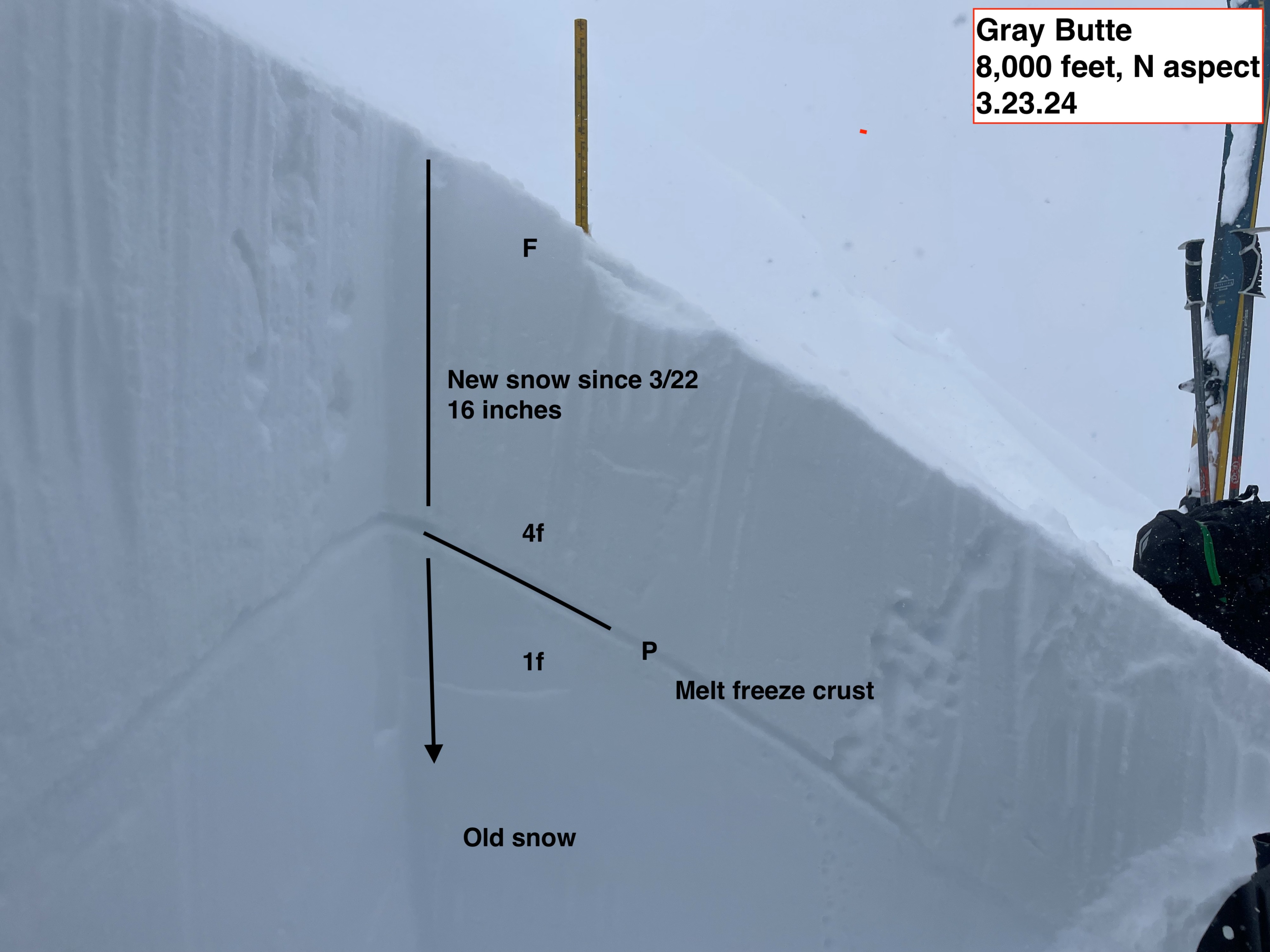
Observed instability was mostly associated with the weight of the new snow. Small cracking could be initiated with skis, failing in roughly 4×8' slabs, 6–8 inches down within the new snow. In some areas, 25-30 foot wide slabs could be triggered. Though these slabs could be easily triggered with skis, they did not propagate farther than 30 feet. Most areas with this instability showed light wind and variable wind loading accompanying the new snow. Fresh, sensitive and thin cornices exist on ridge tops along north and east aspects. A pit was dug on a north aspect at 8,000 feet. Upon compression test, cracking was observed within the new snow, at a density change down 6–8 inches from the surface. Upon extended column test (ECT), no significant results were found.Weather
- Air Temp
- 24
- Cloud Cover
- obscured
- Wind Loading
- light
- Rain Elevation
- 3500
- Recent Snowfall
- 25
- Snow Avail For Transport
- moderate amounts
Storm day. Clouds and fog hung low across the forecast area, creating wet and cold conditions above 6,000 feet. Snow fell with moderate intensity through the morning before lightening in the afternoon. Southerly winds blew light to moderate, with sustained moderate winds at upper elevations. Visibility remained poor in terrain near and above treeline.
Snowpack
Overall, the forecast area has received a solid refresh of new snow. Snow totals vary greatly depending on elevation. Areas as low as 5,000 feet only picked up 5 inches or fewer. At these lower elevations, the snow is higher density with wetter characteristics. At 8,000 feet, 10–14 inches of new snow has accumulated. At this elevation, the snow is relatively drier, cold, and settling quickly. The new snow sits on top of a strong melt-freeze crust that developed during the recent warm weather. Surprisingly, the new snow is sticking to the crust well.
Avalanche
Small dry loose avalanches were triggered on the northwest face of Gray Butte, at around 7,500 feet and lower. The largest of these avalanches ran 200 feet down slope.