
Quick report
We found new snow totals from Monday’s storm of about 4 inches below 7,500’ and 6-10 inches above that. Loaded ridgelines at 10,000’ were closer to the 12-14 inch range. Overall, the new snow has bonded well to a variety of surfaces on SE-NE facing terrain. We did not observe any cracking and ski cuts did not produce any significant moving snow. Minimal slab development was observed in the majority of terrain that we traveled in. Right side up new snow. Snow was becoming warm and denser below 8,000' on south facing facing slopes by the afternoon.
Looking ahead, snow totals for tomorrow’s storm are forecasted to be modest (4-8”) and wind speeds do not look severe. Tomorrow’s primary avalanche concern will be focused on the new snow that falls during the day with a lower probability of avalanches breaking deeper in select pieces of very steep terrain. The January drought layer does not appear to have enough of a load yet to be too much of a concern, but should be monitored closely as additional storms impact the region in the coming days and weeks.
No signs of instability where we traveled.Weather
- Cloud Cover
- broken
- Wind Loading
- none
- Recent Snowfall
- 6-8"
- Snow Avail For Transport
- moderate amounts
Decreasing cloud cover throughout the day. Moderate air temp. Light ridgetop winds. Brief periods of sun warming low elevation snow surfaces.
Snowpack
Well behaved new snow was the general theme of the upper snowpack today. Warm temperatures yesterday morning (above freezing at 8k) followed by a cooling trend with decreasing wind speeds by evening likely contributed to the “rightside up” storm snow and minimal avalanche activity observed today. As stated above, January drought snow will become a greater concern once there is more of a slab on top of it. North facing terrain from 8,000’-9,500’ is most suspect. Hard to tell if/when the scales will tip, but worth dialing back terrain choices for a bit with subsequent storms.
E-S aspects: New snow sits above widespread crusts up to 10,000'. Moderate hand shears, only failed on 2" of warm dense snow that fell on the onset of the storm.
N aspects: New snow sits above faceted snow. Similiar hand shear results, overall lack of cohesive slab.
Avalanche
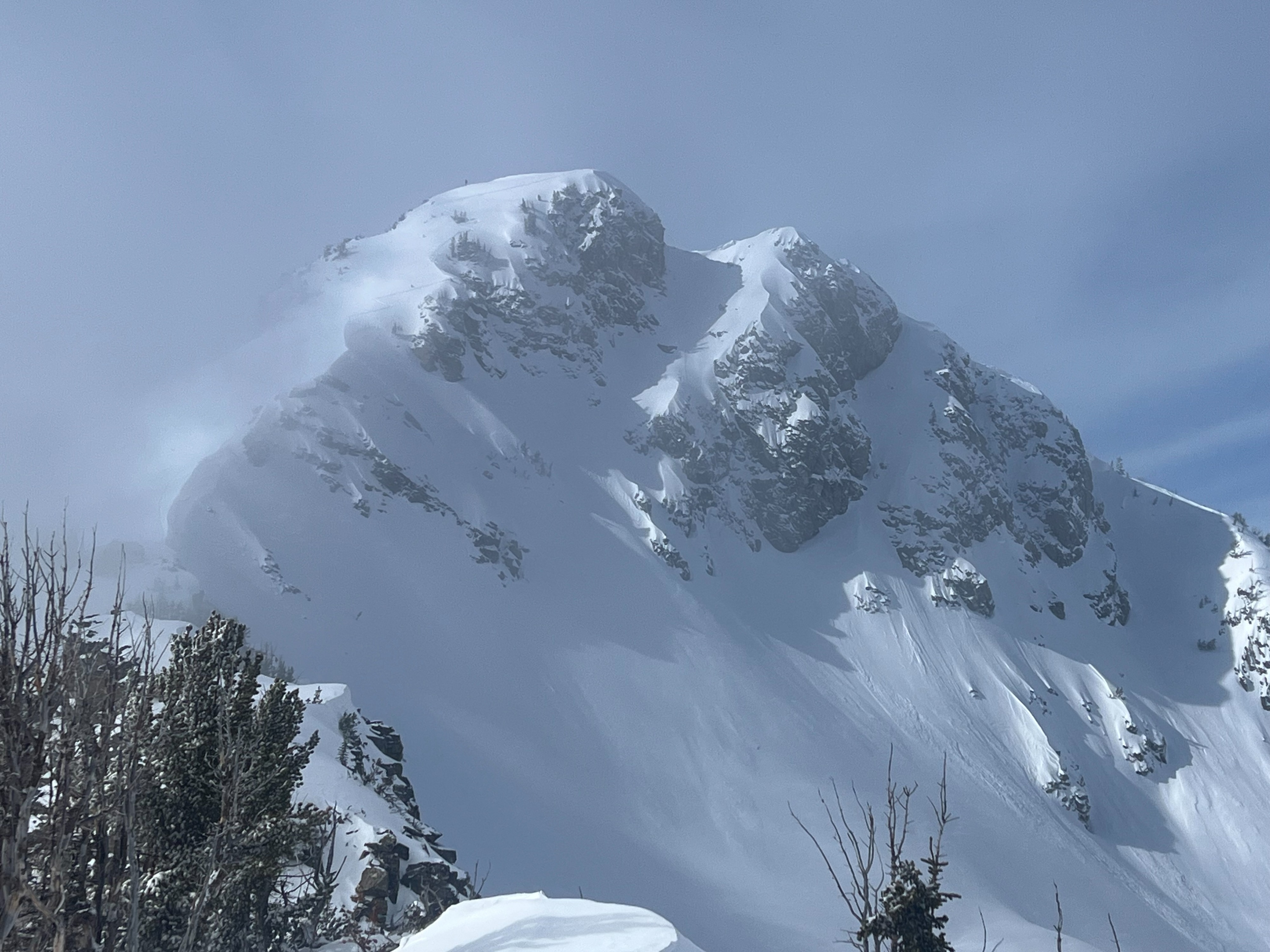
We observed several small, dry loose sluffs on the north face of Albright.