
Quick report
On Saturday, May 10th, two Mount Shasta Climbing Rangers escorted USGS geologist Andy Calvert to the lower Whitney Glacier to collect rock samples from a flanking lava flow. These sample points will be added to Andy's geologic map of Mount Shasta, due to be published soon. Along our route we observed conditions on the lower Bolam and Whitney Glaciers.
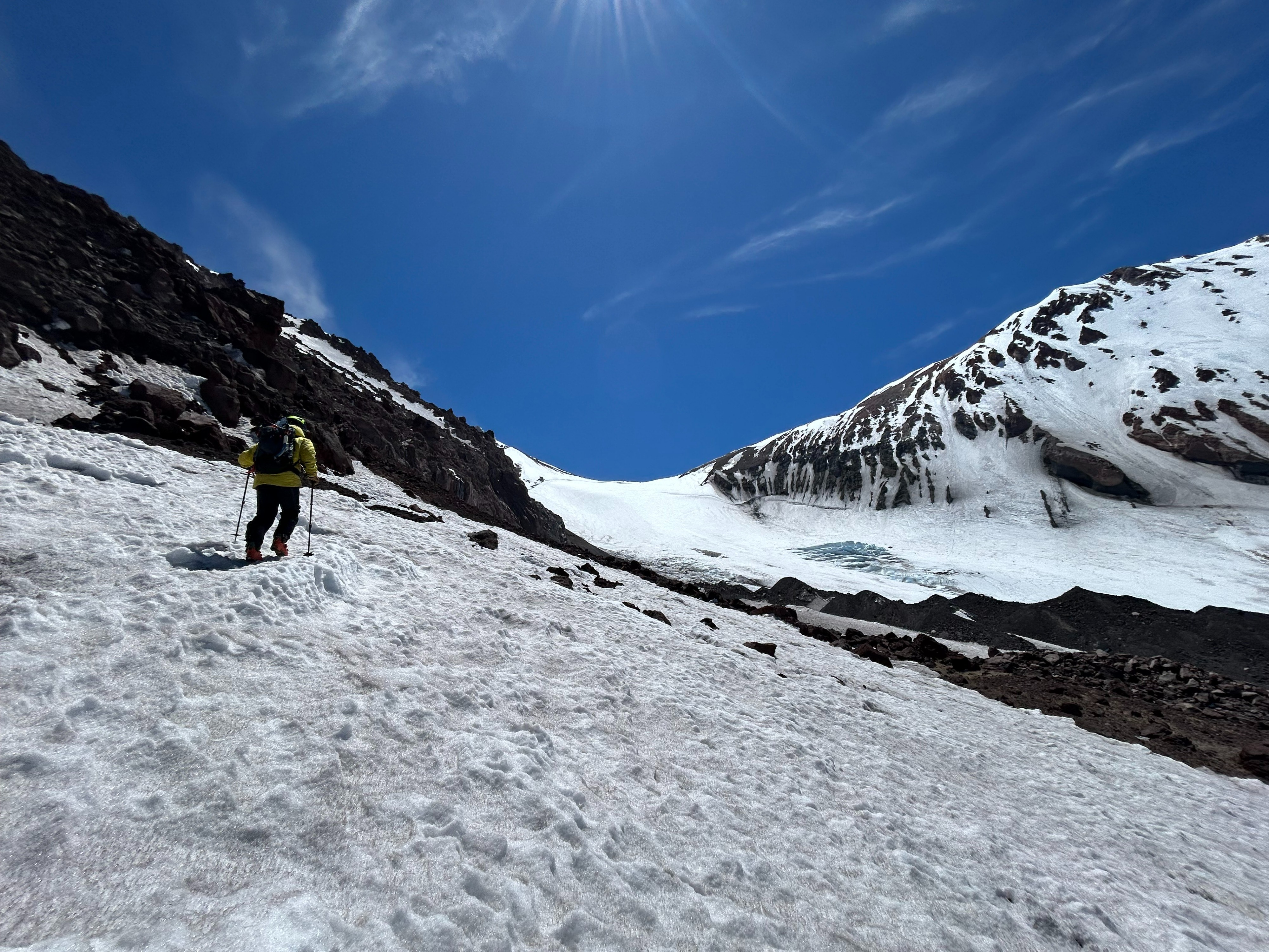
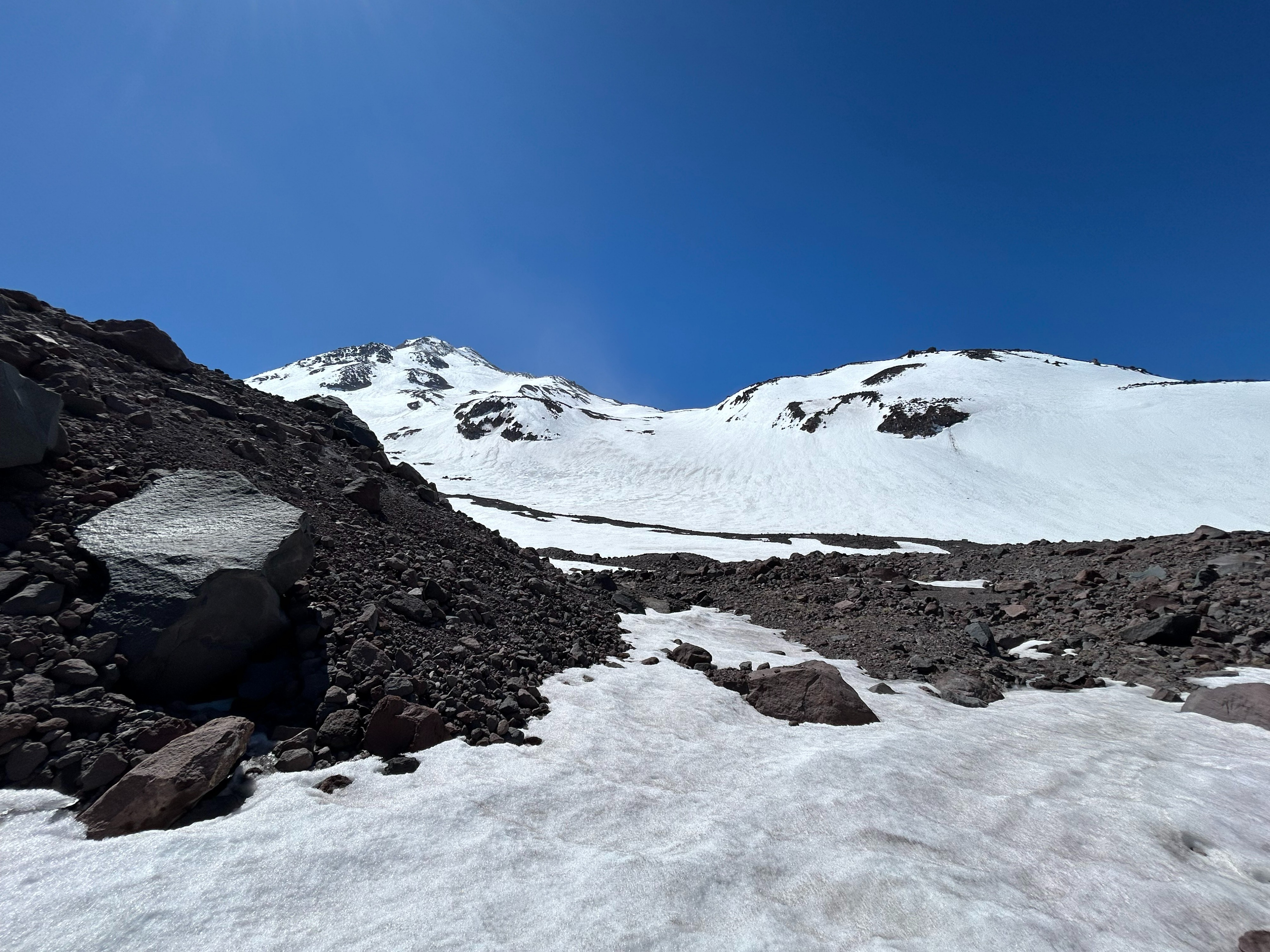
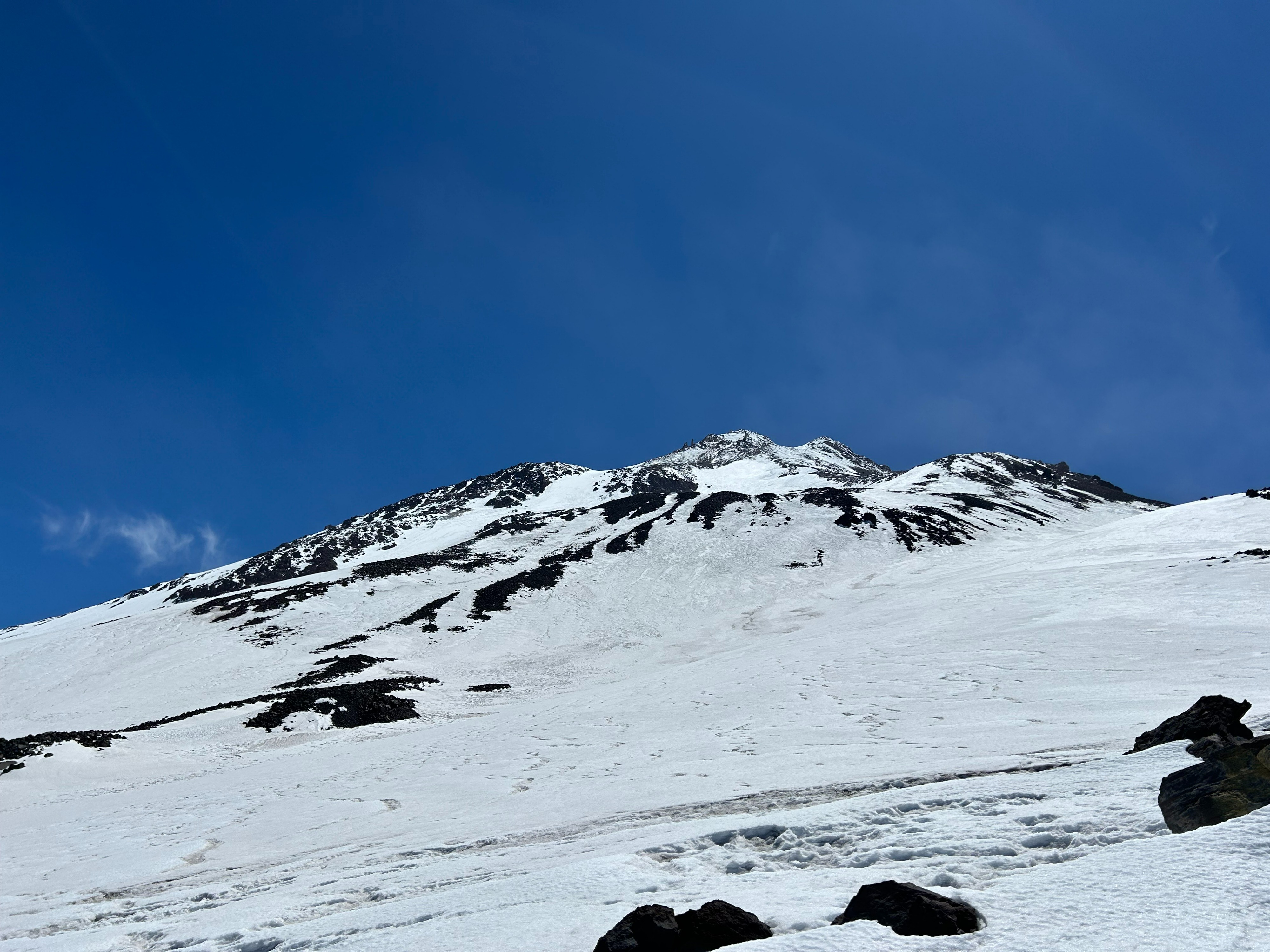
Our party launched from the Wilderness boundary off the Bolam logging road 42N15Y. Roughly a quarter mile of dry, overland travel and route finding was necessary before snow travel became achievable. Snowline roughly begins at 7,600 feet. Dirty, variable, and inconsistent snow surfaces exist up to 9,800 feet. Above, cleaner and semi-textured snow surfaces cover all major snowfields and glaciers.
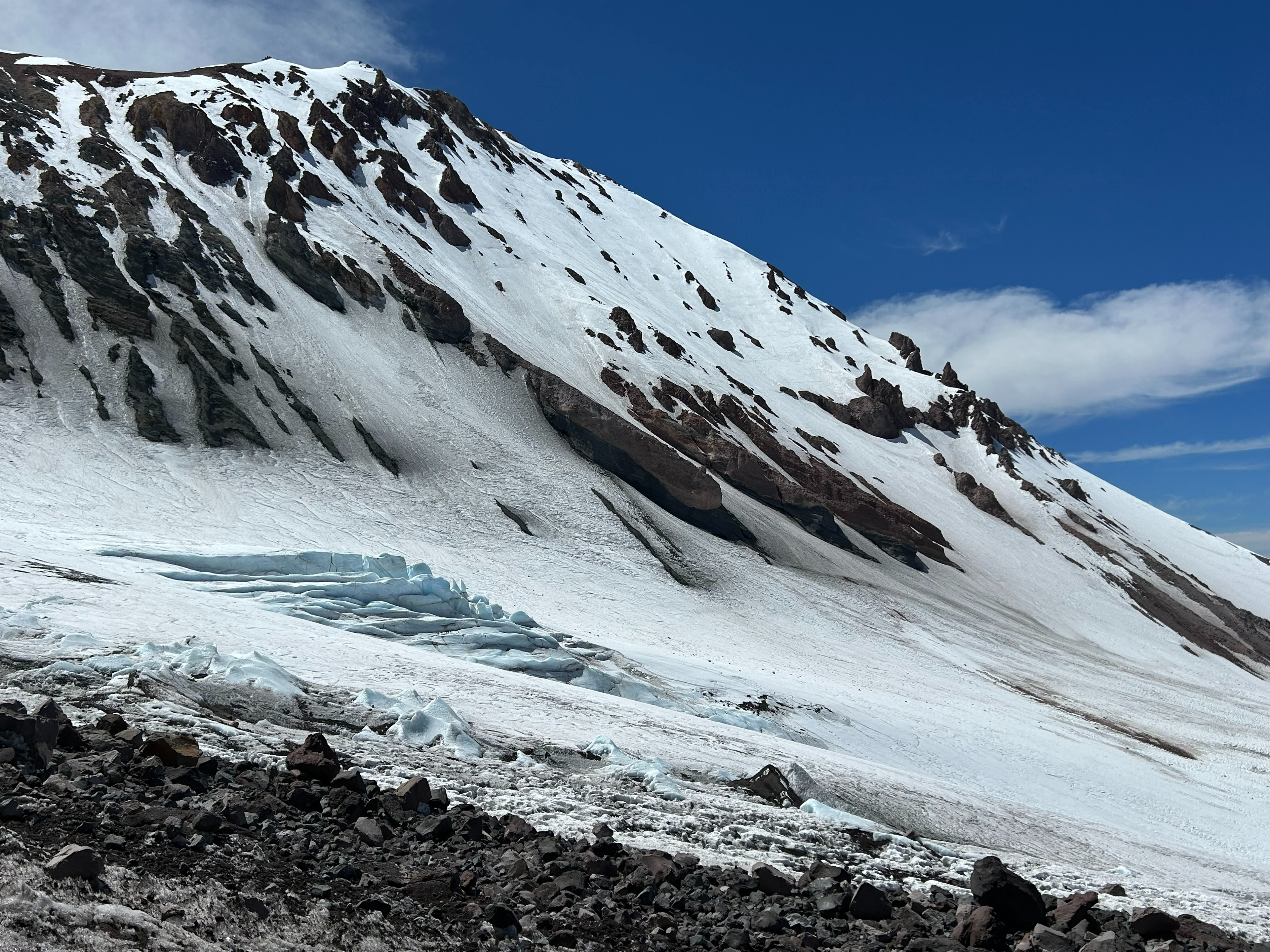
All climbing routes on the Bolam and Whitney Glaciers host good climbing conditions. By and large, both glaciers still hold snow bridges over all major crevasses, with Bergschrunds beginning to show. Prominent ridgelines and terrain features consist of mostly dry and loose rock. Signs of rockfall were present and will remain a main climbing hazard moving forward. No snowmelt water or large dry camp sites were observed along route.
Please make sure to have all the required items: Wilderness Permit, Summit Pass, and Human Waste Pack-out Bag, with you before departing on your adventure. These can be picked up at the Mount Shasta or McCloud Ranger stations. Thank you, and safe travels.
Weather
- Air Temp
- 38
- Cloud Cover
- few
Skies were mostly clear with a moderate to strong southwest wind and temperatures in the mid to upper 30s.