
Quick report
The early onset of spring-like weather has influenced the snowpack, delivering above-freezing temperatures with full sun during the day and below-freezing temperatures and mostly clear skies at night. This has formed a melt-freeze crust on surfaces that soften by late morning. Signs of instability are diminishing by the day, but the snowpack is more complex than what we typically associate with a springtime setup. Weak layers that developed at the end of January and mid February are persisting below several feet of snow, and although they are becoming more stubborn, they are still producing propagating results in tests.
With the surface snow stiffened from previous strong winds and now above freezing temperatures during daylight hours and sub-freezing at night, signs of instability related to the Persistent Slab problem are decreasing by the day. Slopes that received direct sunlight had small rollerballs releasing around rock bands below and near tree line.Weather
- Air Temp
- 36
- Cloud Cover
- few
- Wind Loading
- previous
- Rain Elevation
- Not observed
- Recent Snowfall
- Not observed
- Snow Avail For Transport
- small smounts
Another bright, bluebird day. Temperatures reached the mid to upper 30s F. Calm wind, with an occasional light breeze from the southwest.
Snowpack
Wind and warm temperatures following the last significant snow have consolidated and stiffened slabs resting above persistent weak layers that were responsible for the streak of large human-triggered and natural avalanches in the last 2 weeks of February. Now, these weak layers are becoming more stubborn and difficult to trigger, but are still intact 2 to 4 feet below the surface. Evidence of strong winds can be seen on almost all aspects, with many slopes having a punchy and firm windboard surface. Bluebird skies and above-freezing temperatures have been working to moisten the surface snow on all aspects that receive sunlight, up into above tree line terrain. Dry snow can still be found on the most sheltered aspects that favor north.
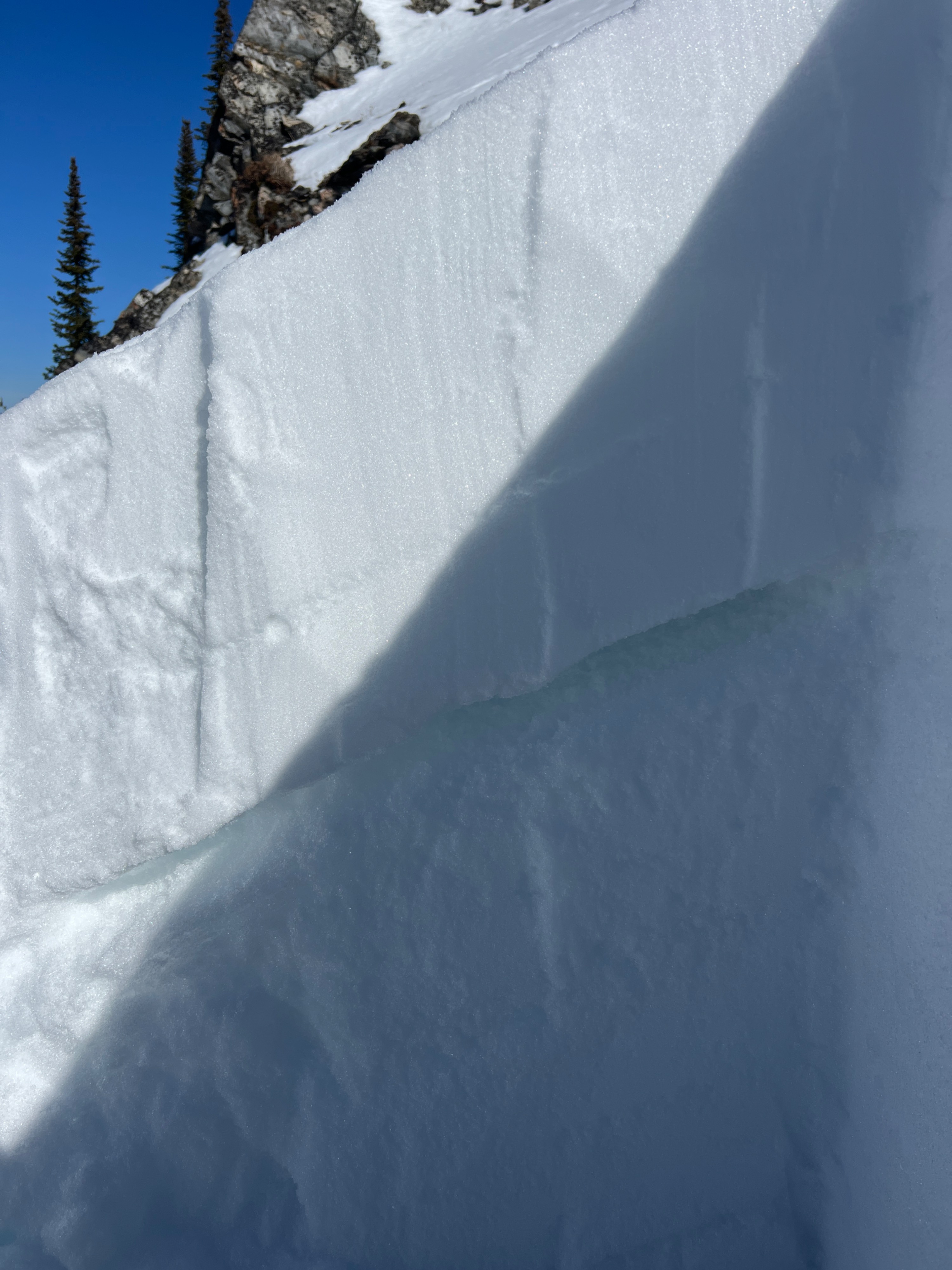
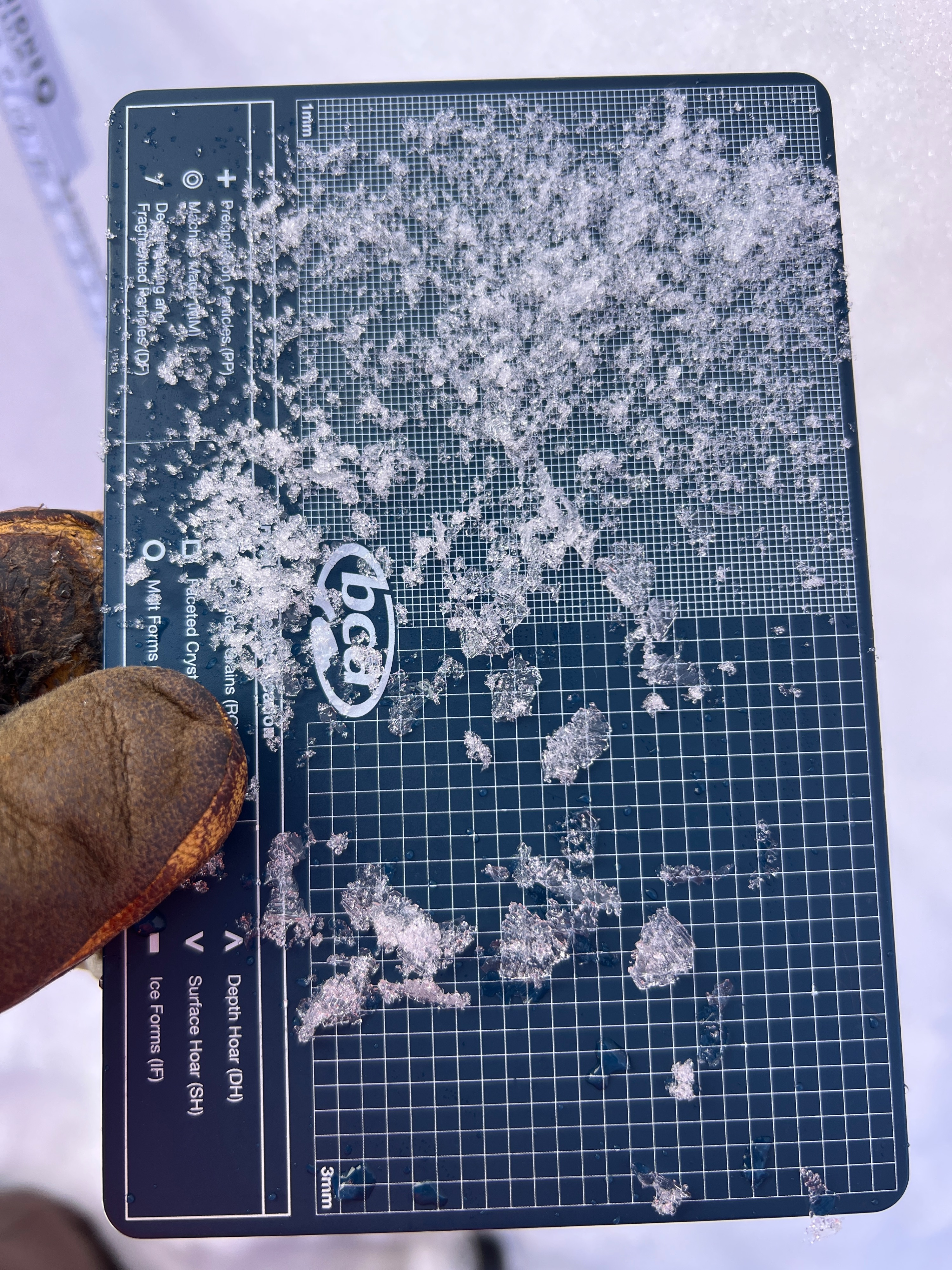
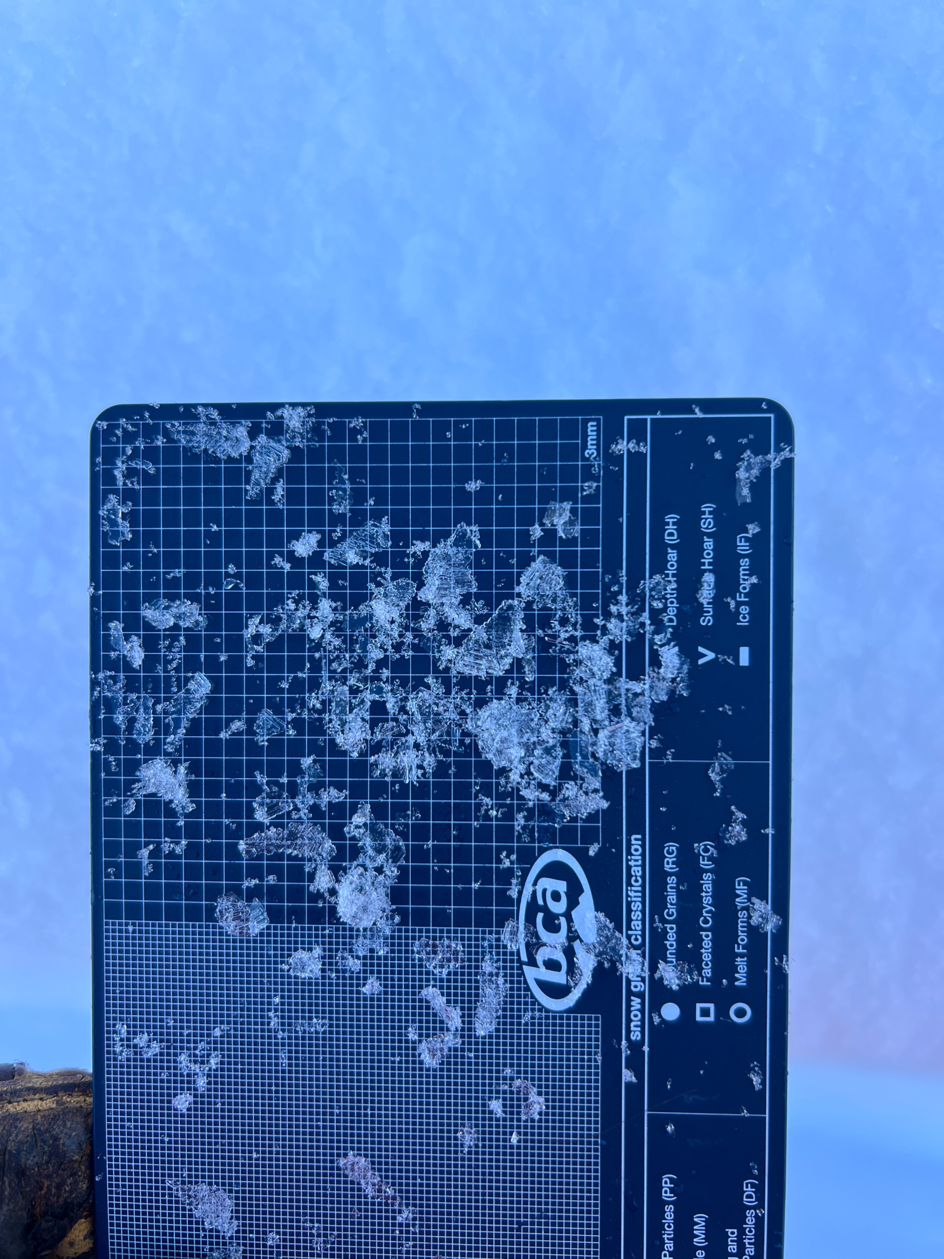
At 6,400' on a northwest aspect, the snowpack was 138cm deep. This particular area was a prominent path in the trees, with cliff bands to the side. Although this aspect would typically be more loaded from the usual wind direction, it had been stripped by the variable, strong gusty wind event from the previous week. The surface was firm windboard, and there was 30cm of snow sitting on the 2/14 buried surface hoar. The surface hoar feathers were still quite large, with some being over 1cm. Test results produced a CT12SP at this interface, as well as an ECTP15. 15cm below the buried surface hoar was the dry January/February interface, which has evolved into large, loose 4F facets.
Avalanche
- Size
- D2.5
- Type
- SS
- Aspect
- NE
- Trigger
- N
- Elevation
- 6700 ft
Observed one old crown on the northeast-facing side of Stevens Peak. The crown has since been partially filled in. This older avalanche likely failed sometime around the February 23 cycle.