
Quick report
Significant snowpack settlement is taking place driven by moisture and above average temperatures. Weak layers 2 to 4 feet deep are rounding and becoming significantly less reactive in snowpack tests compared to a couple weeks ago, but are still persisting. Wet and moist surface snow was unsupportable and it was easy to sink in past boot top when stepping out of skis.
Surfaces were saturated. At 6,000' I sunk into moist snow above my boot top.Weather
- Cloud Cover
- overcast
- Wind Loading
- none
- Rain Elevation
- Not observed
- Recent Snowfall
- Not Observed
- Snow Avail For Transport
- none
Inconsistent rain in the morning transitioned into more widespread light rainfall. Strong winds from the southwest were making large trees sway.
Snowpack
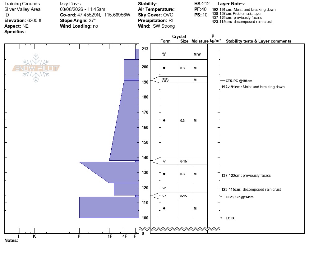
Recent rain and warm temperatures have been influencing the snowpack each day, with moisture slowly working its way deeper down. At 6,000’ on a northeast aspect, the height of snow was 212cm. The upper 7cm was close to slush with the amount of water near the surface. Moist snow was observed over 100cm down.
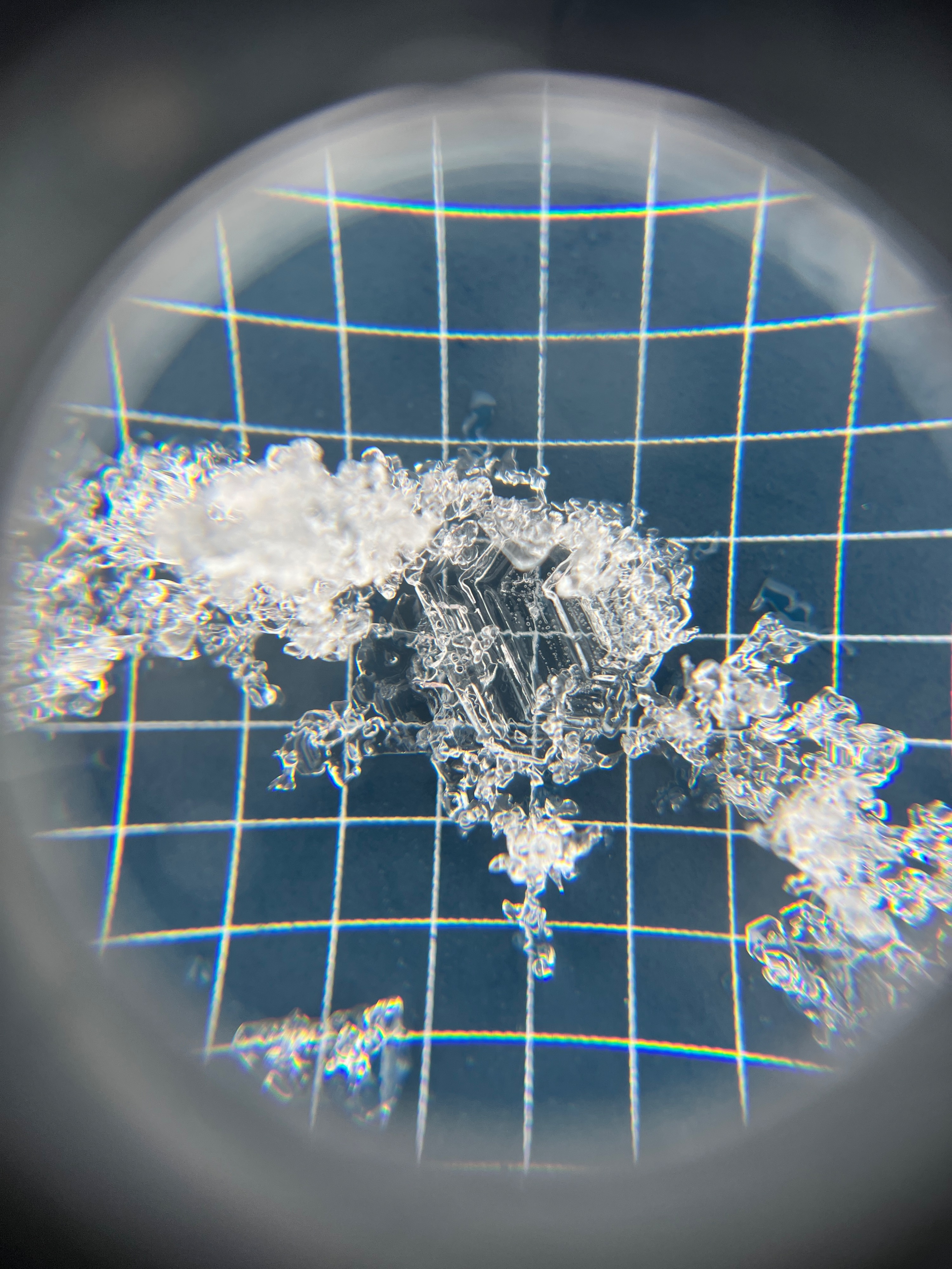
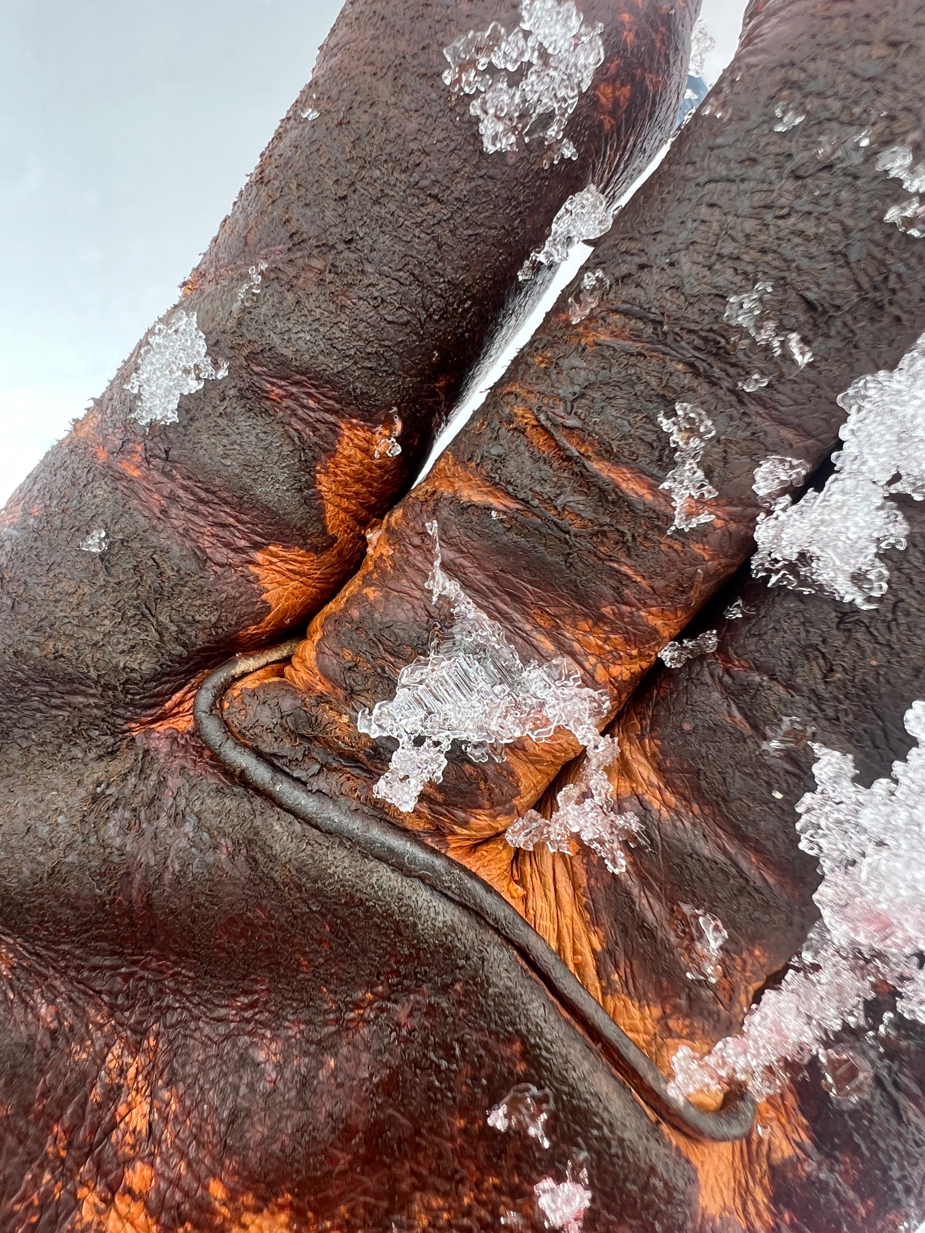
Lots of rounding is now taking place, but incredibly, the two buried surface hoar layers (1/28 and 2/14) are stubbornly persisting despite moist snow above and below. While these weak layers are rounding, some feathers are still over 1cm in size. ECTX. CT23SP 98cm down on the late January layer.
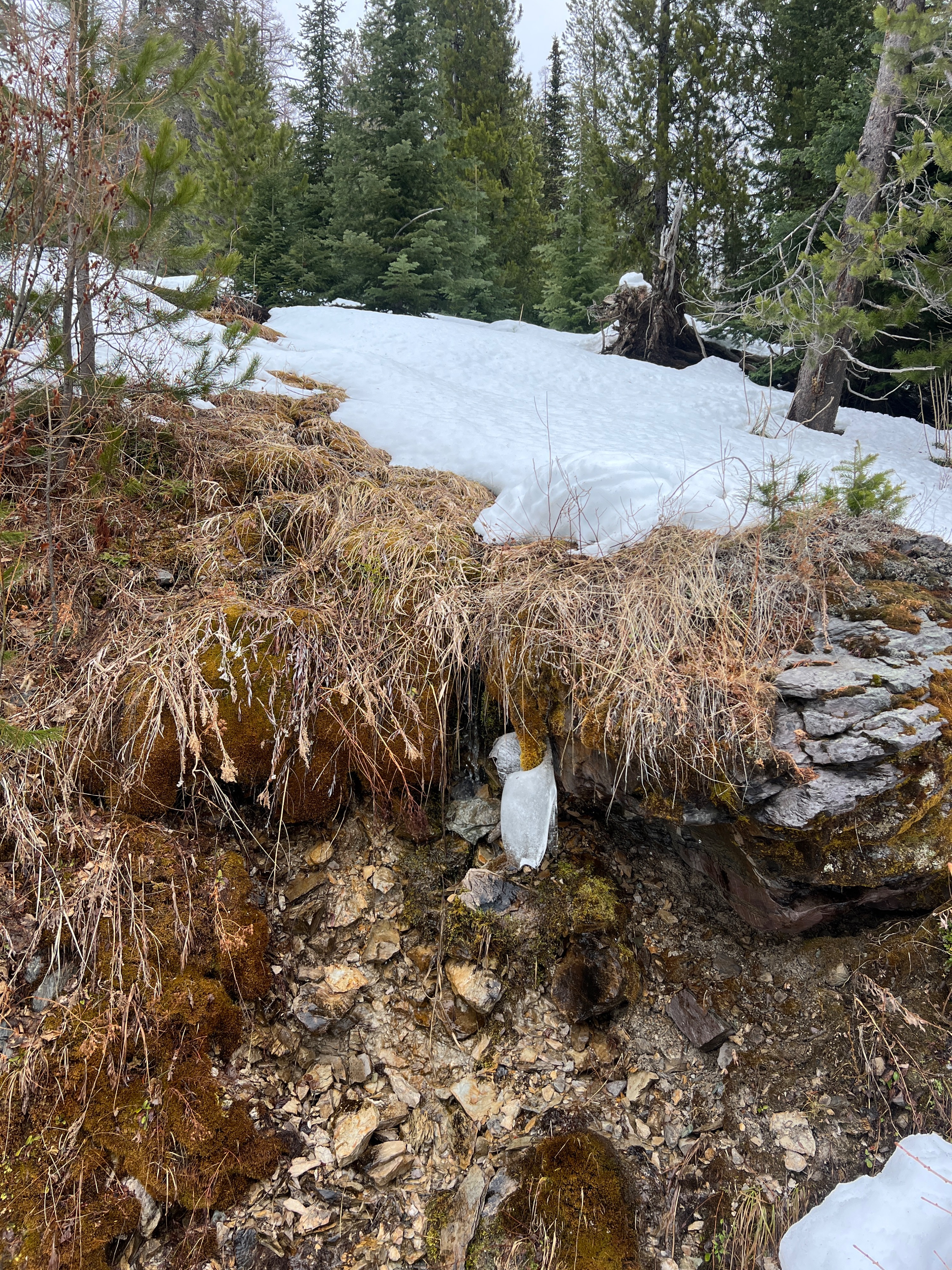
The stint of spring weather has really taken a toll on below tree line terrain. More bare ground is showing by the day, and open runoff is reappearing.
At higher elevations, the wet and warm weather has saturated surfaces leaving no snow available for transport. 6,200’ was the highest elevation reached.
Avalanche
None observed.