
Quick report
Another stormy day in the mountains. This is on track with the recent trend lately. There's been a LOT of recent storm snow since Christmas. Overall the upper snowpack is strong and well settled, but the amount of recent snow and easily identifiable storm interfaces had my attention. The New Year's Day (1/1) interface produced the most concerning results. While there may be more snow at Paradise than areas closer to the crest, the snow profile looked remarkably similar to others I've seen this week.
No cracking, collapsing, etc.Weather
- Cloud Cover
- overcast
- Wind Loading
- light
- Rain Elevation
- 4000
- Recent Snowfall
- 5
- Snow Avail For Transport
- small smounts
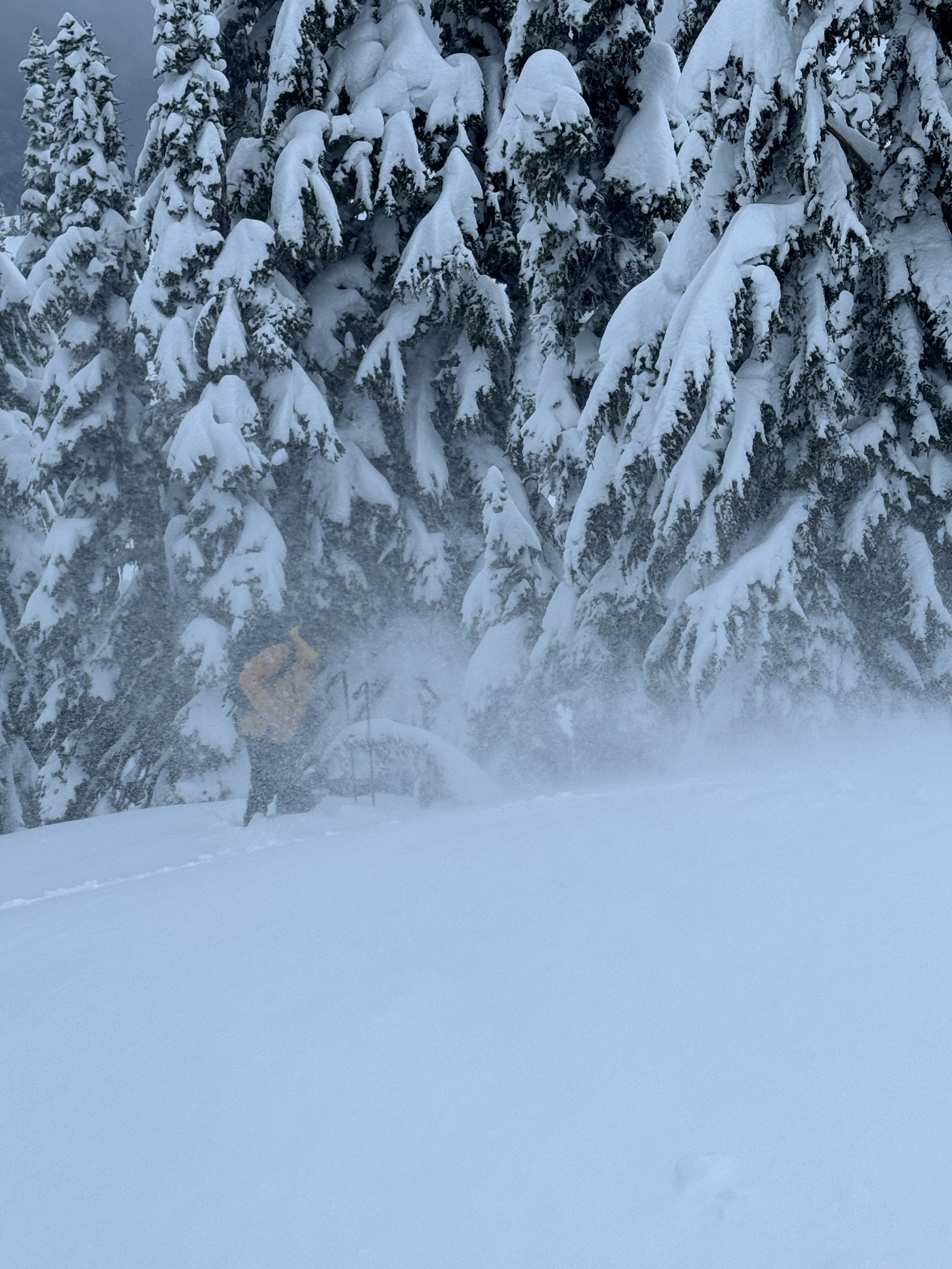
Pretty stormy day. Light to occasionally moderate snowfall. Winds shifted to the SW and began to increase blowing snow around. Towards the end of the day (3pm), the clouds began to lift and there was even a small bit of clearing.
Snowpack
The snow surface was much heavier today. This resulted in harder trail breaking in the deep, thick snow. Even still, the few observations we gathered suggested the recent storm snow was largely right-side-up. Up track and small slope tests did not produce any notable results.
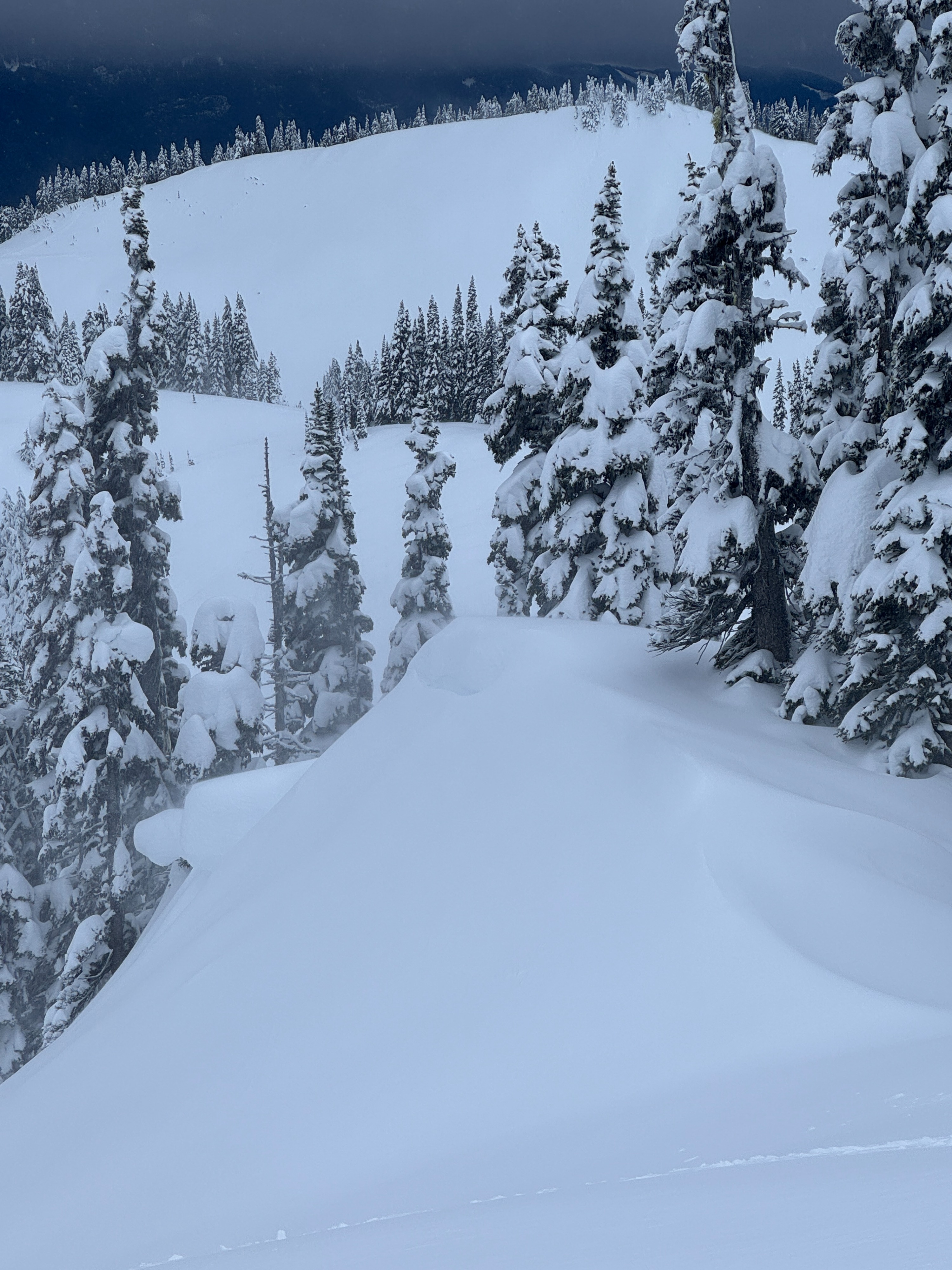
Winds shifted back to the SW in the afternoon and quickly began redistributing snow. We could see blowing snow, small sharp cornices, and pillow-like slabs, but these didn't react on small slope tests. Some clearing lat in the day gave us a glimse into the upper elevations. Large wind features, scalloping, and scouring all suggested the wind issue could be a different world higher in the terrain.
Similar to previous days, one of my biggest takeaways is just how much recent snow there is out there. A snow profile easily shows all the recent inter-storm layers. The upper snowpack looks very similar to other parts of the zone. Here's a run down of the recent storm layer we observed.
1/2: A very thin melt freeze crust about 20cm below the surface. This layer failed in tilt tests, but didn't produce on small slopes.
1/1: About 40cm below the surface. This layer failed suddenly in small column tests. An extended column test failed but didn't propagate. We tried to look at the grains, but the stormy weather made it much more difficult than normal.
12/27 Interface:
12/25 Melt-freeze Crust: About 120cm below the surface. Deep tap test did not produce results.
Overall this upper snowpack appears well settled and strong below the New Years (1/1) interface.
Even with all the new snow, many creeks remain deep and open.
Avalanche
- Size
- D2 R1
- Type
- HS
- Aspect
- SW
- Trigger
- N
- Elevation
- 6300 ft
Visibility was generally poor, but we were able to make out one natural wind slab avalanche in the Golden Gate Bowl.