
Quick report
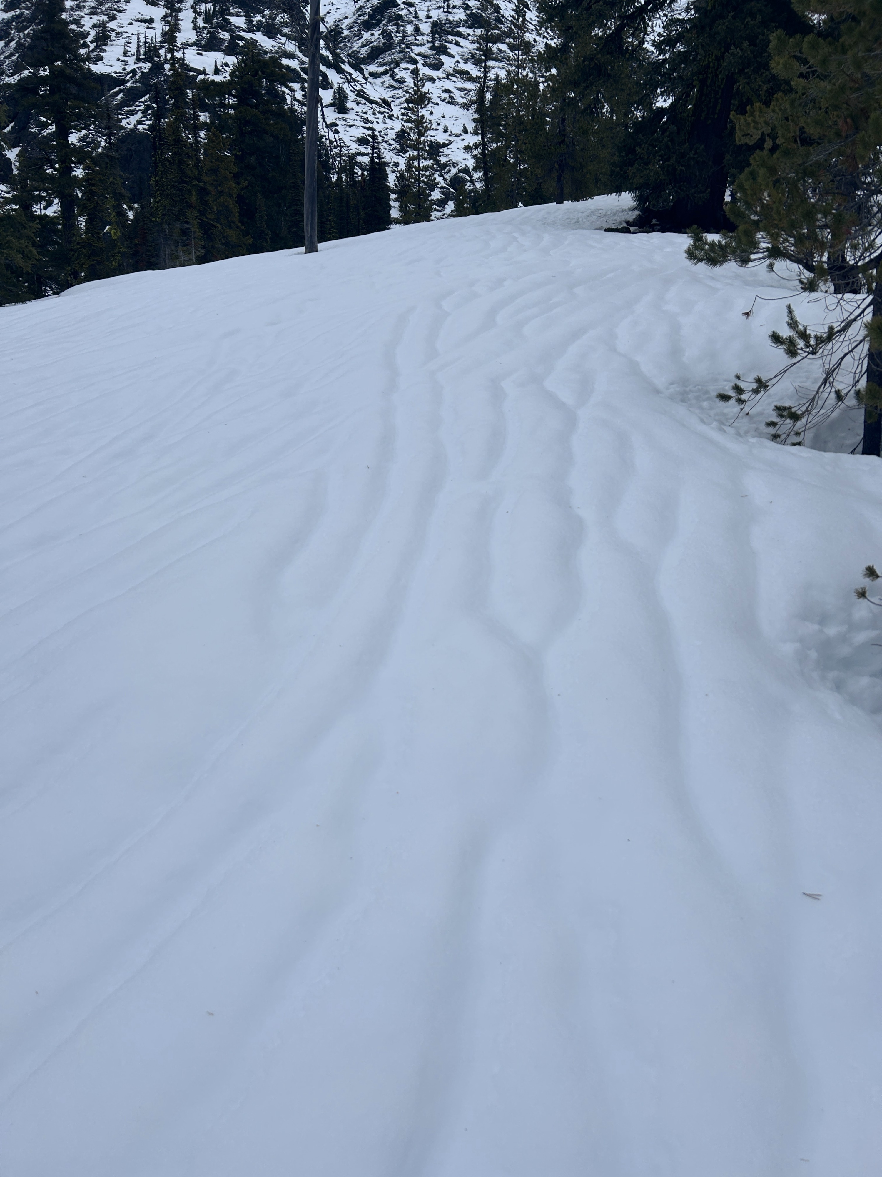
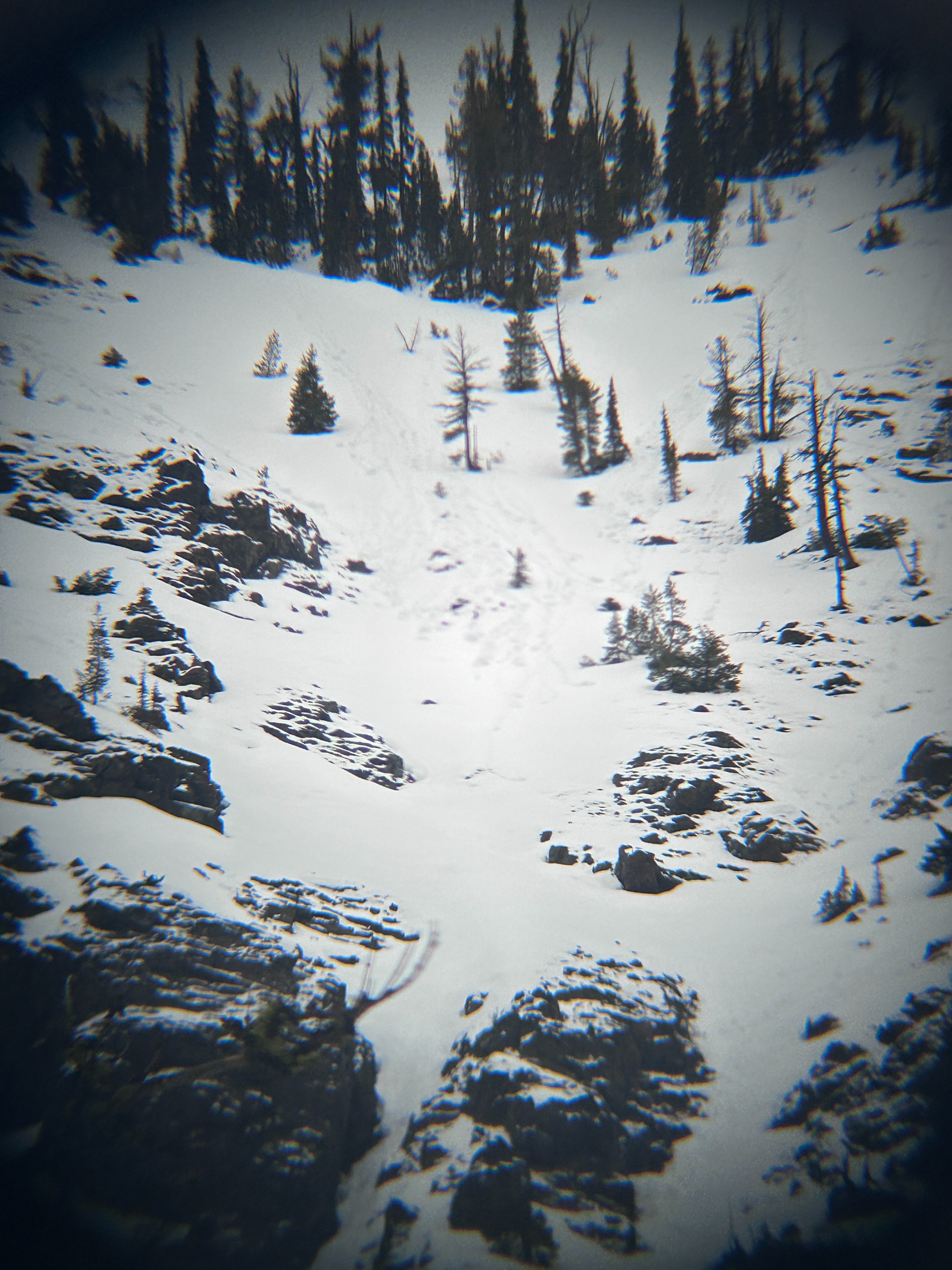
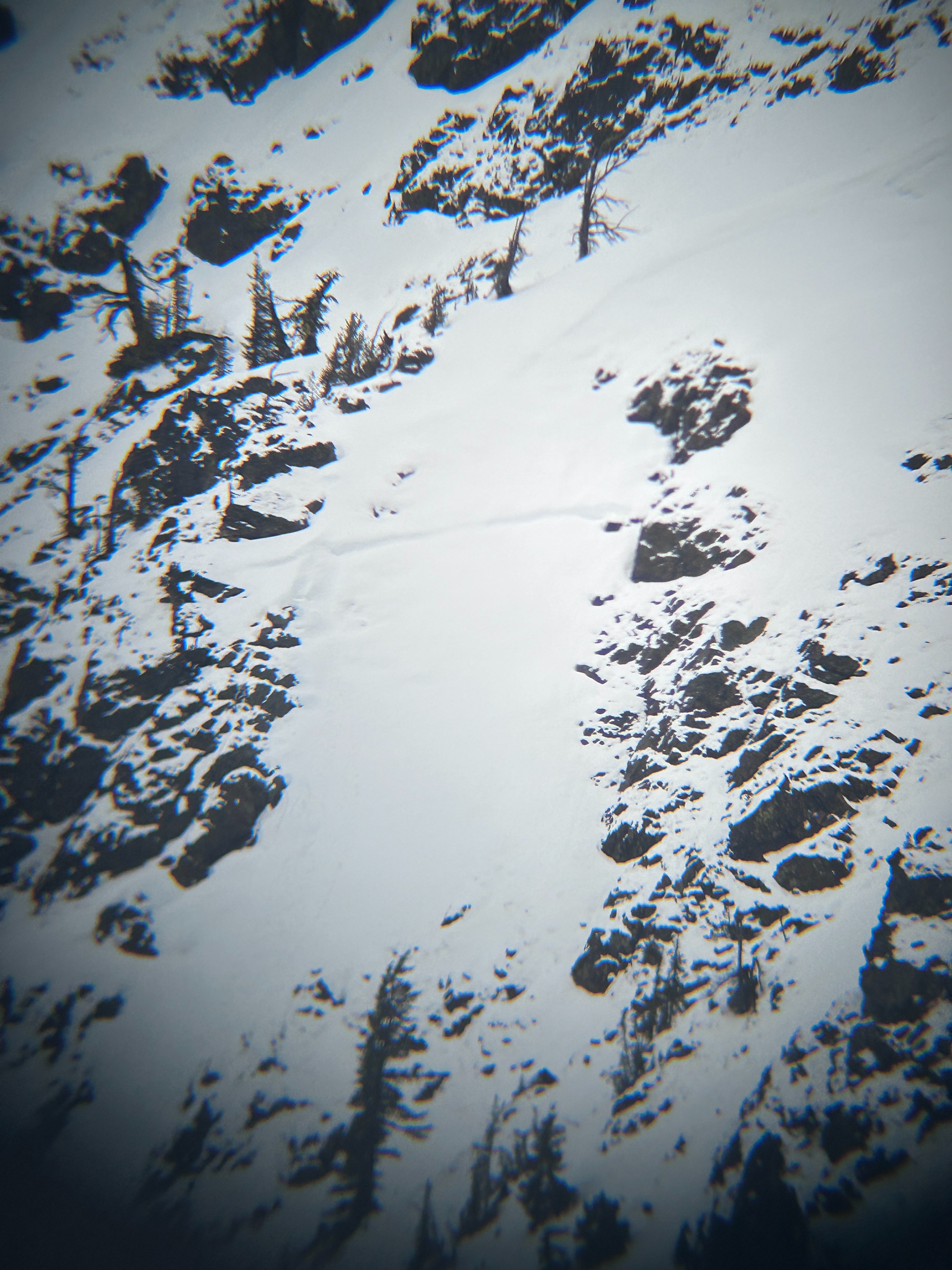
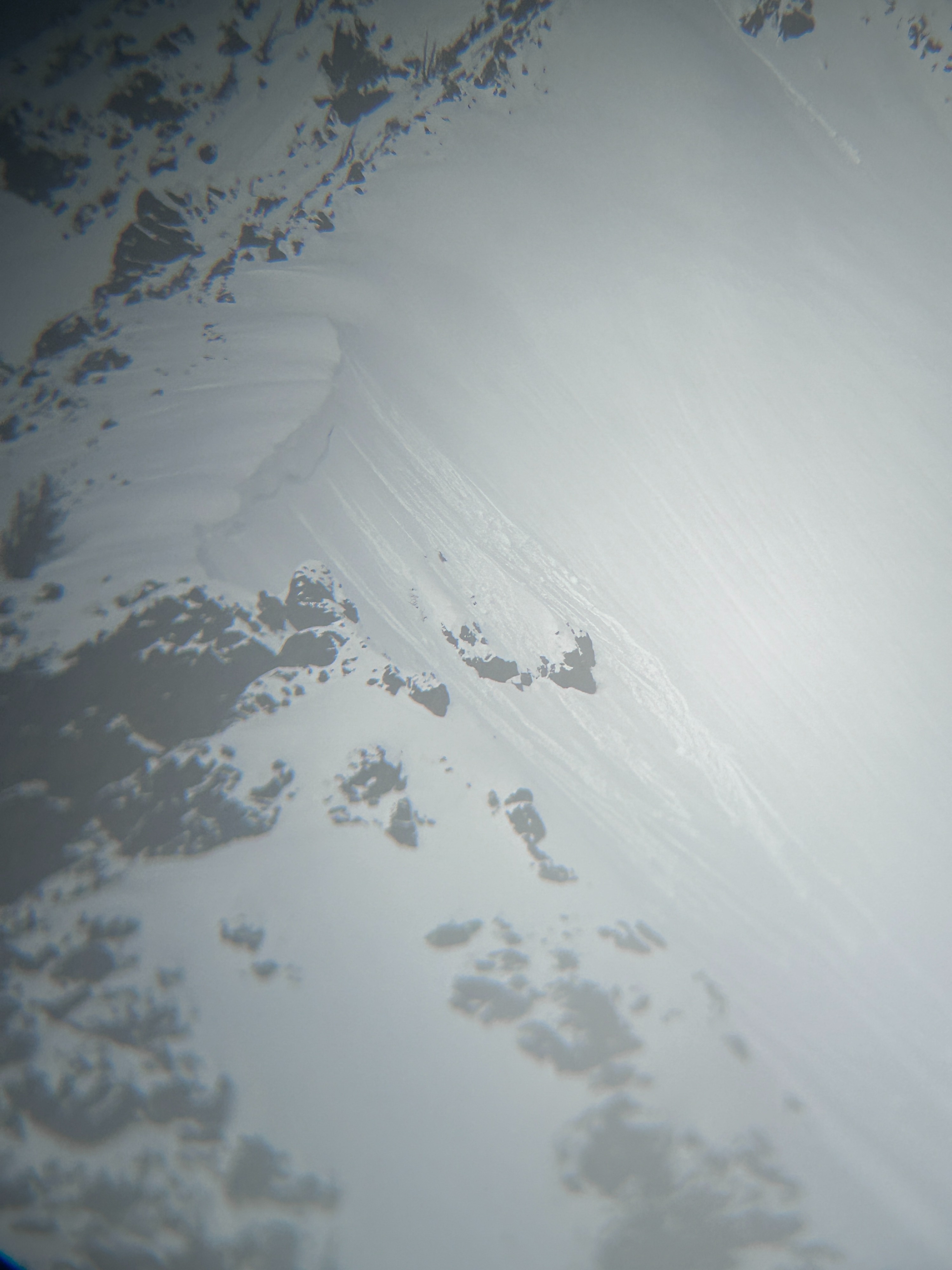
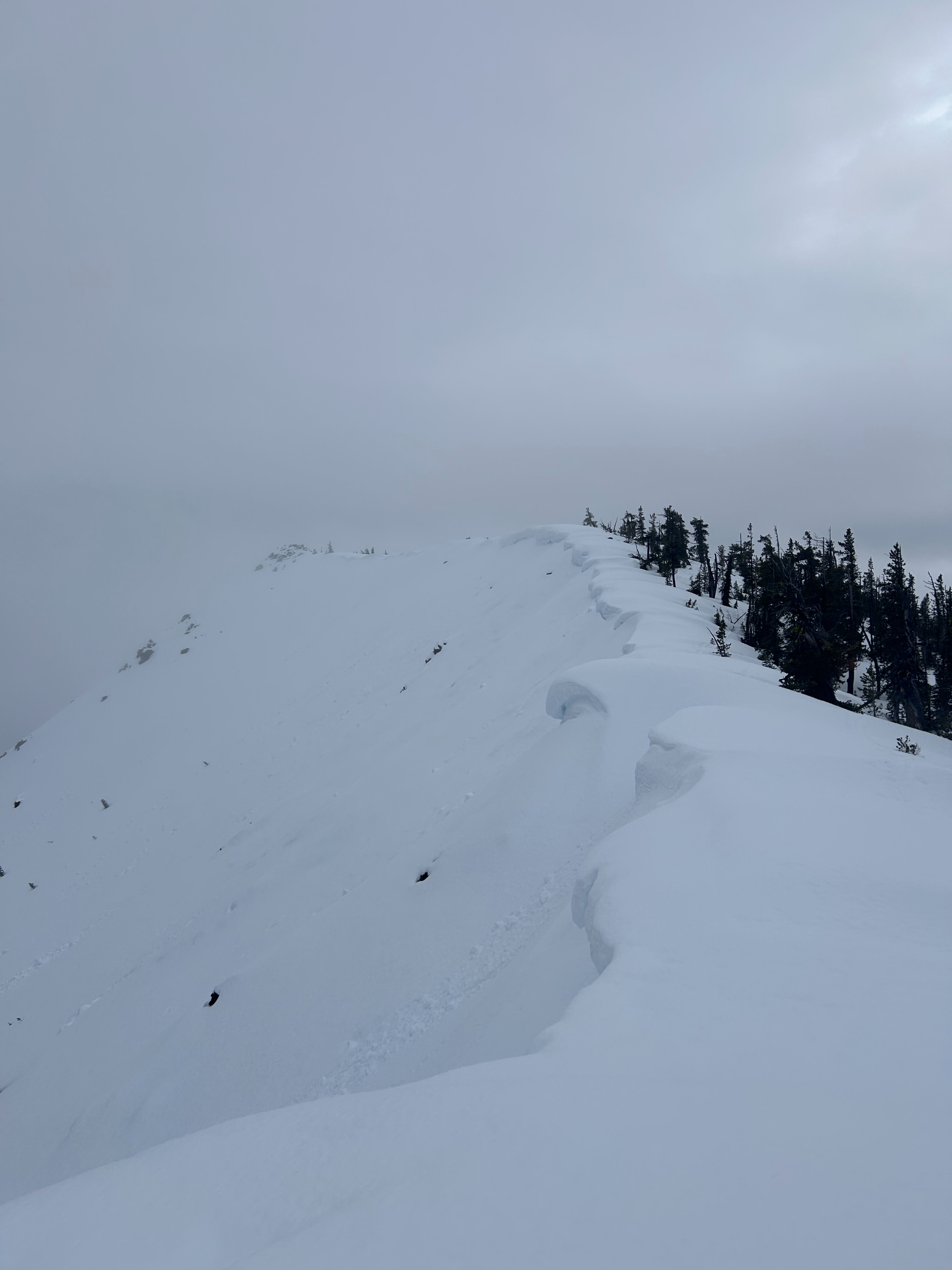
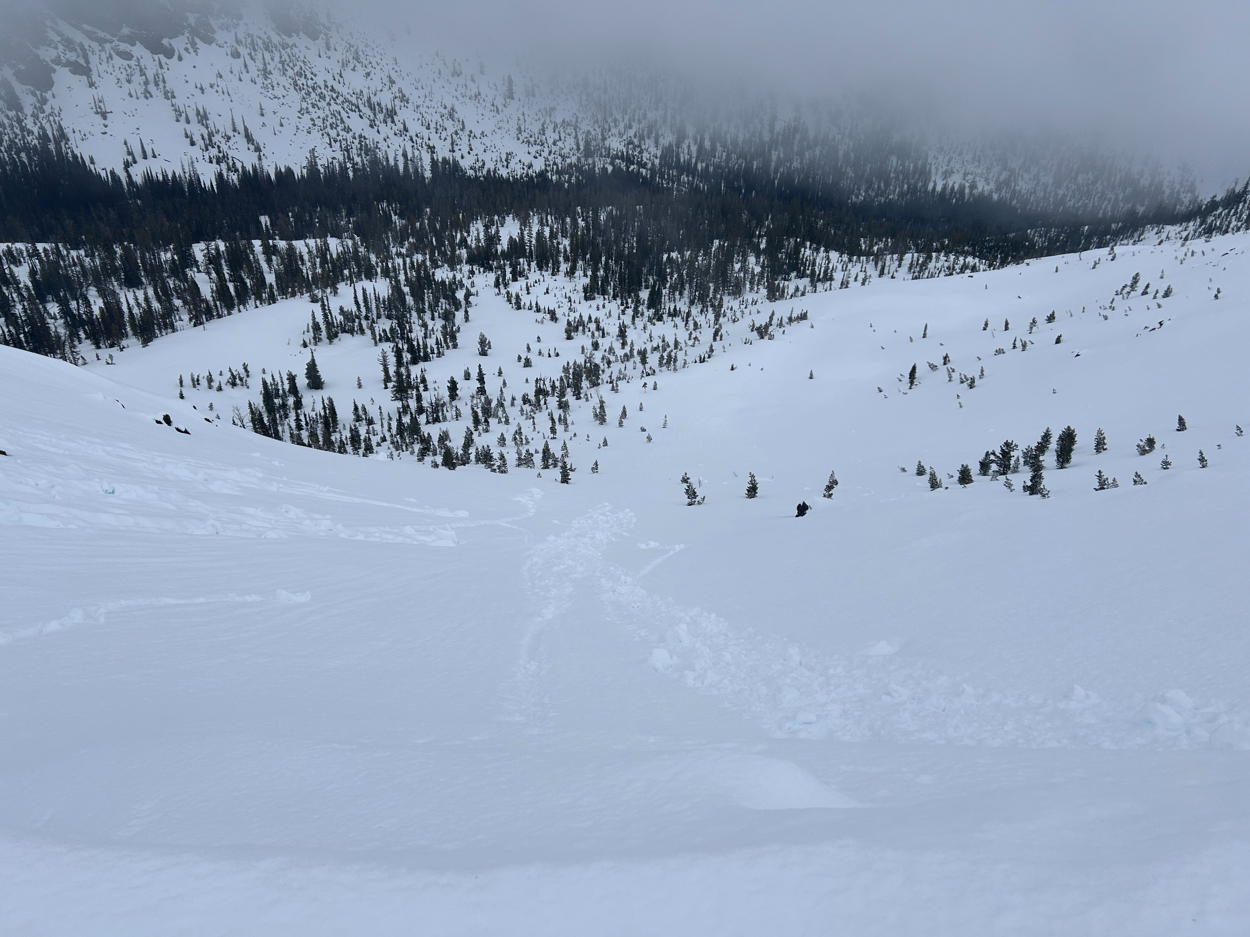
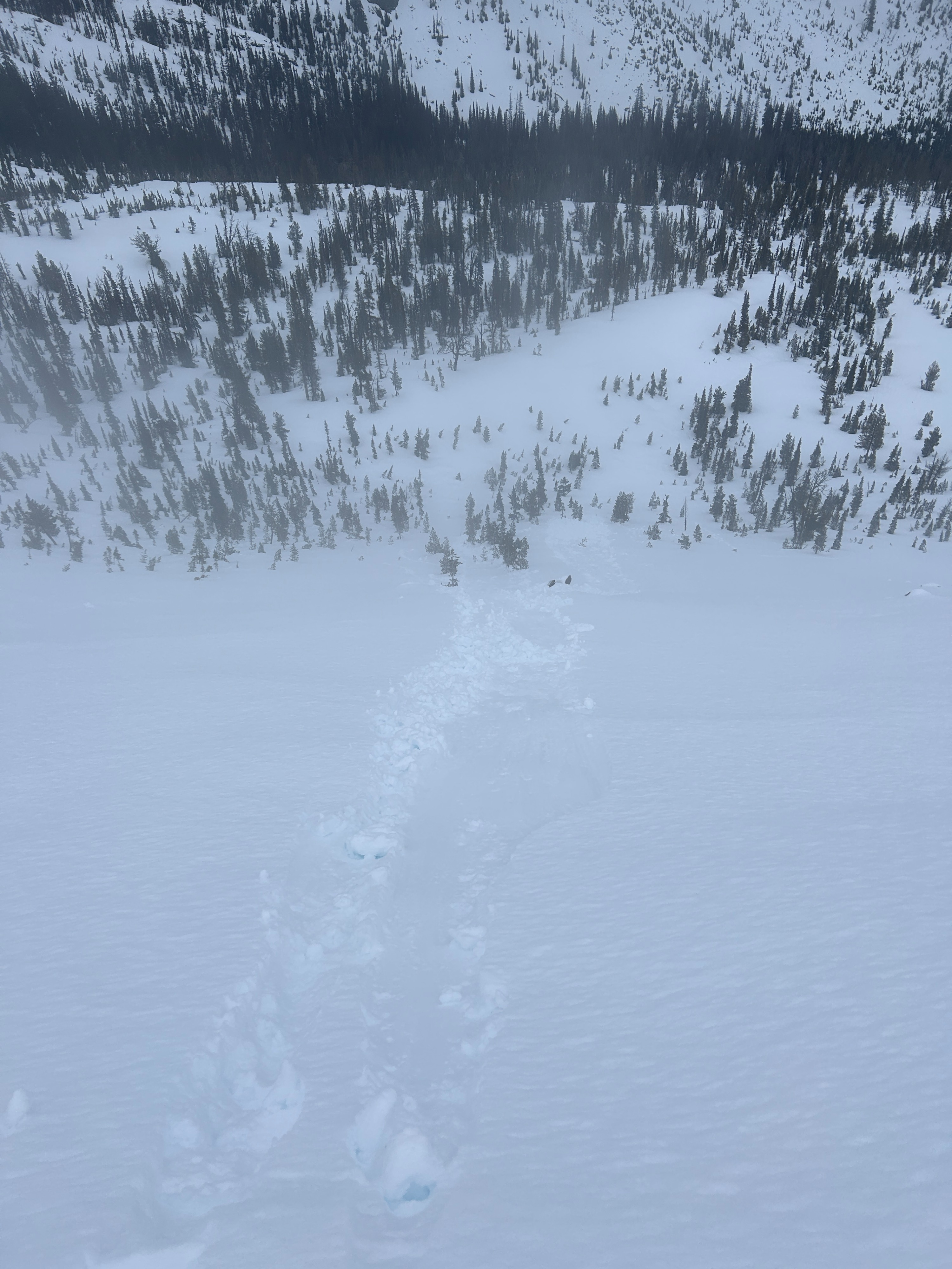
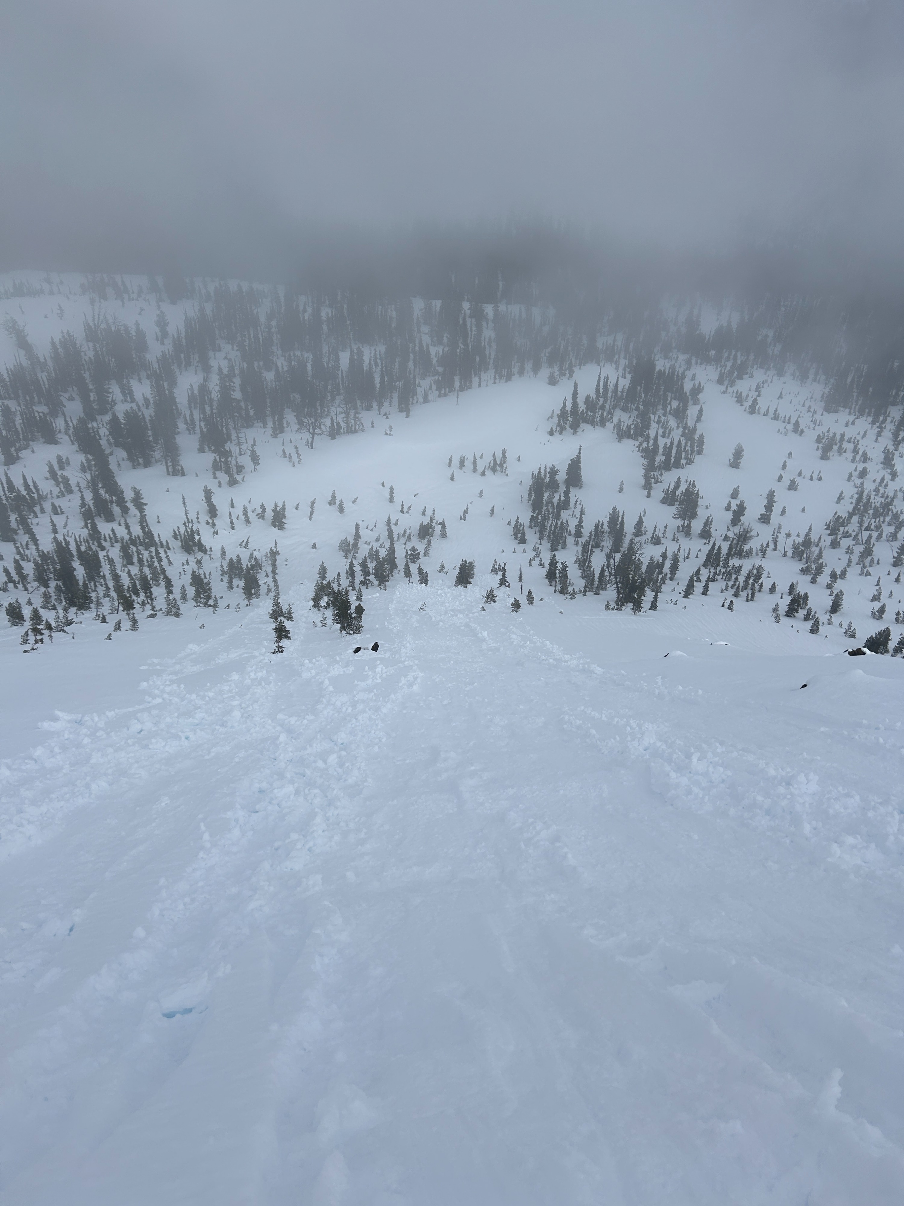
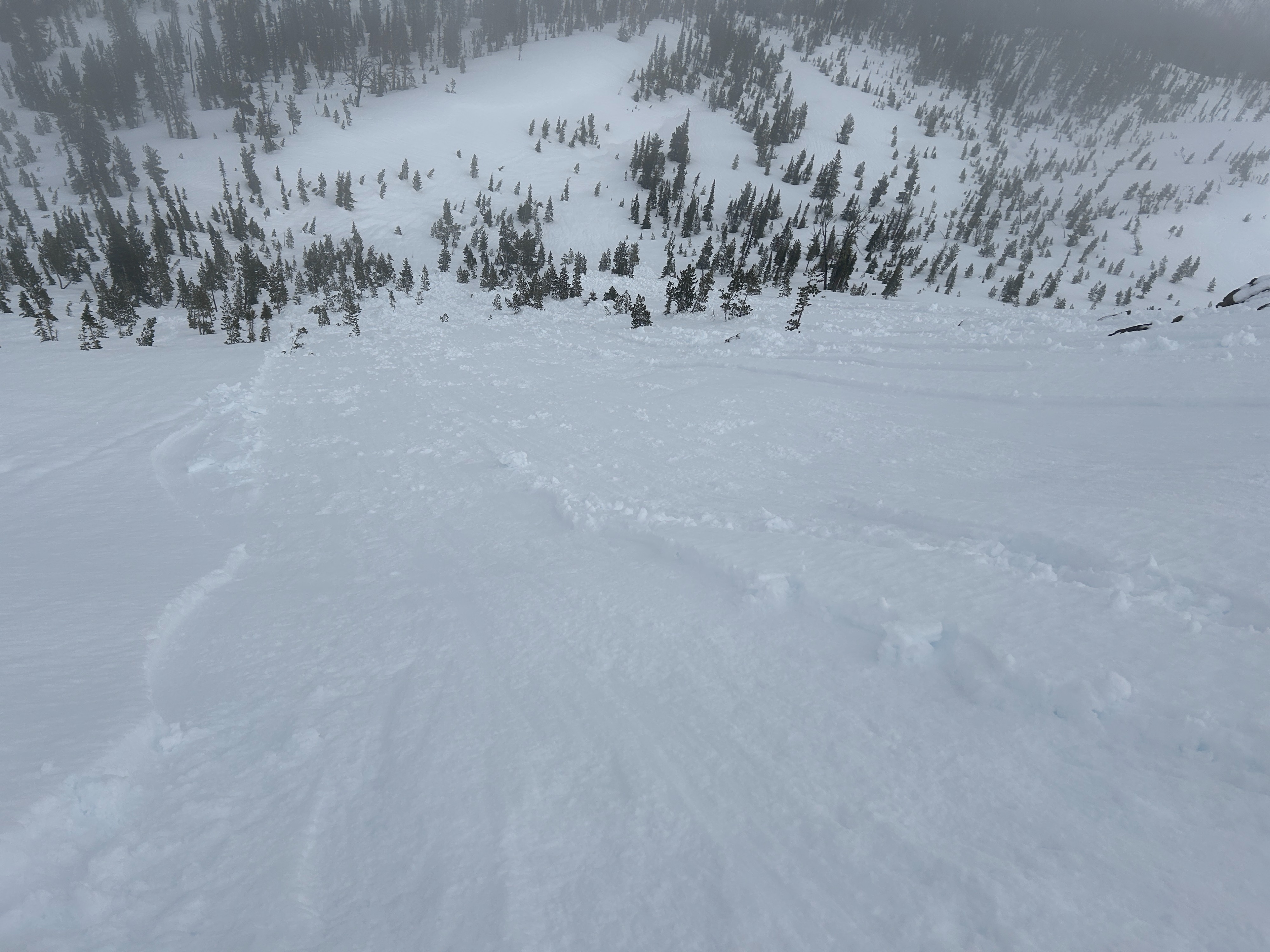
Wet snow was the name of the game today. The snowpack is completely saturated at lower elevations (where there is snow) and nearly saturated higher up. I was able to easily trigger small wet loose avalanches along the ridgeline of Iron Peak. The slides never gouged deeper than the 01/28 interface, however bigger heavy rollerballs would and could sometimes.
I was able to easily trigger wet loose avalanches along the ridge of Iron Peak. I also observed numerous natural rollerballs on various aspects.Weather
- Air Temp
- 33-43
- Cloud Cover
- overcast
- Wind Loading
- previous
- Recent Snowfall
- 9-21
- Snow Avail For Transport
- none
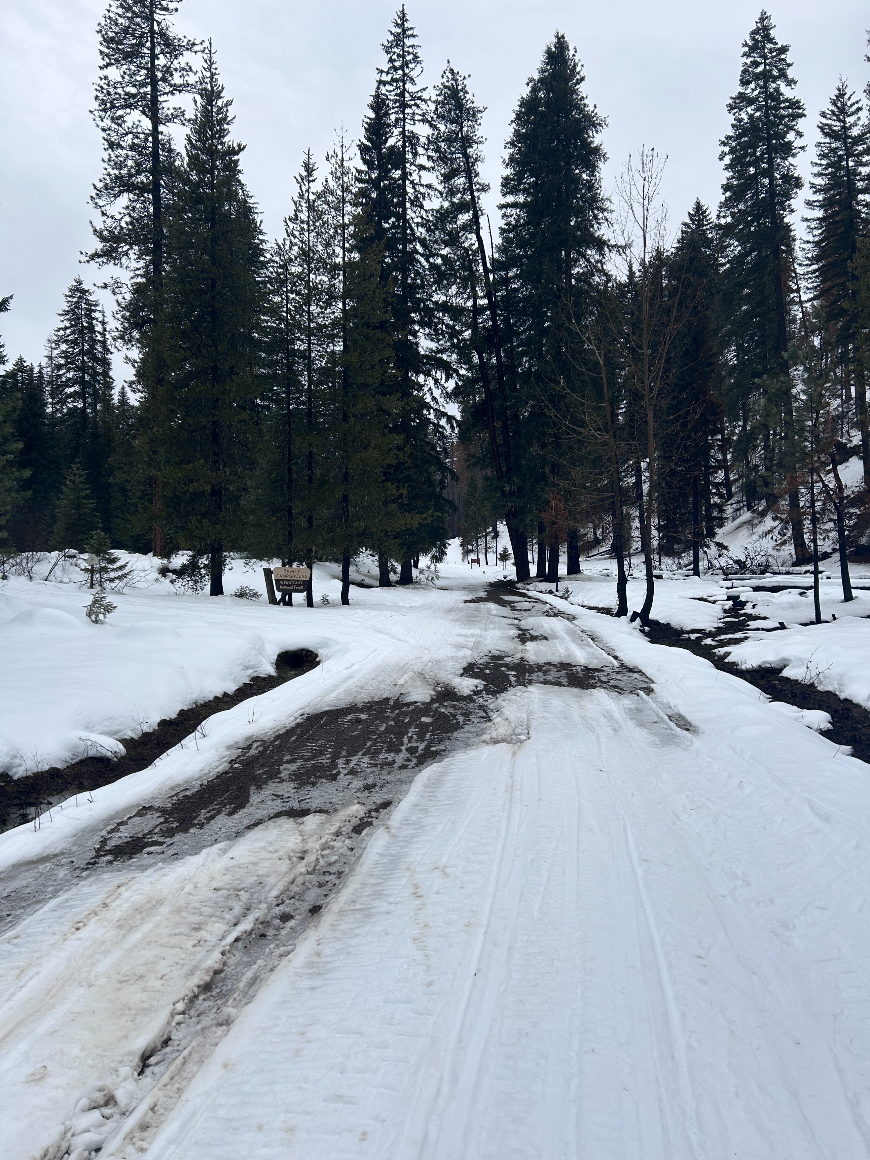
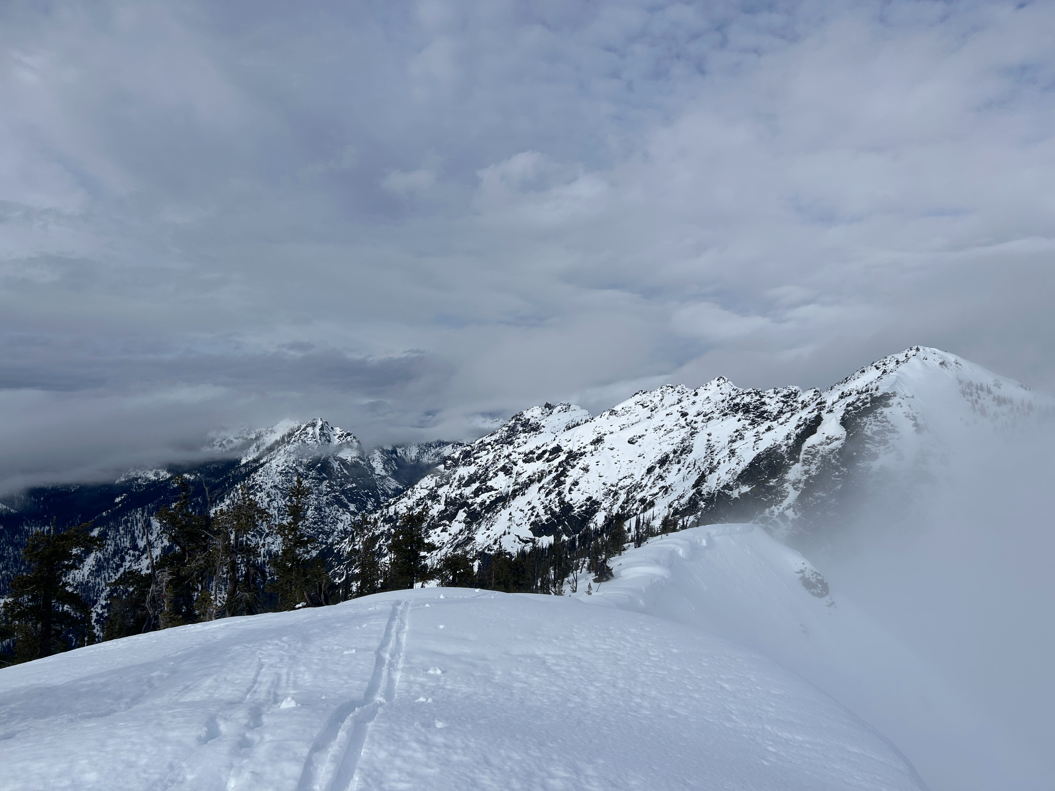
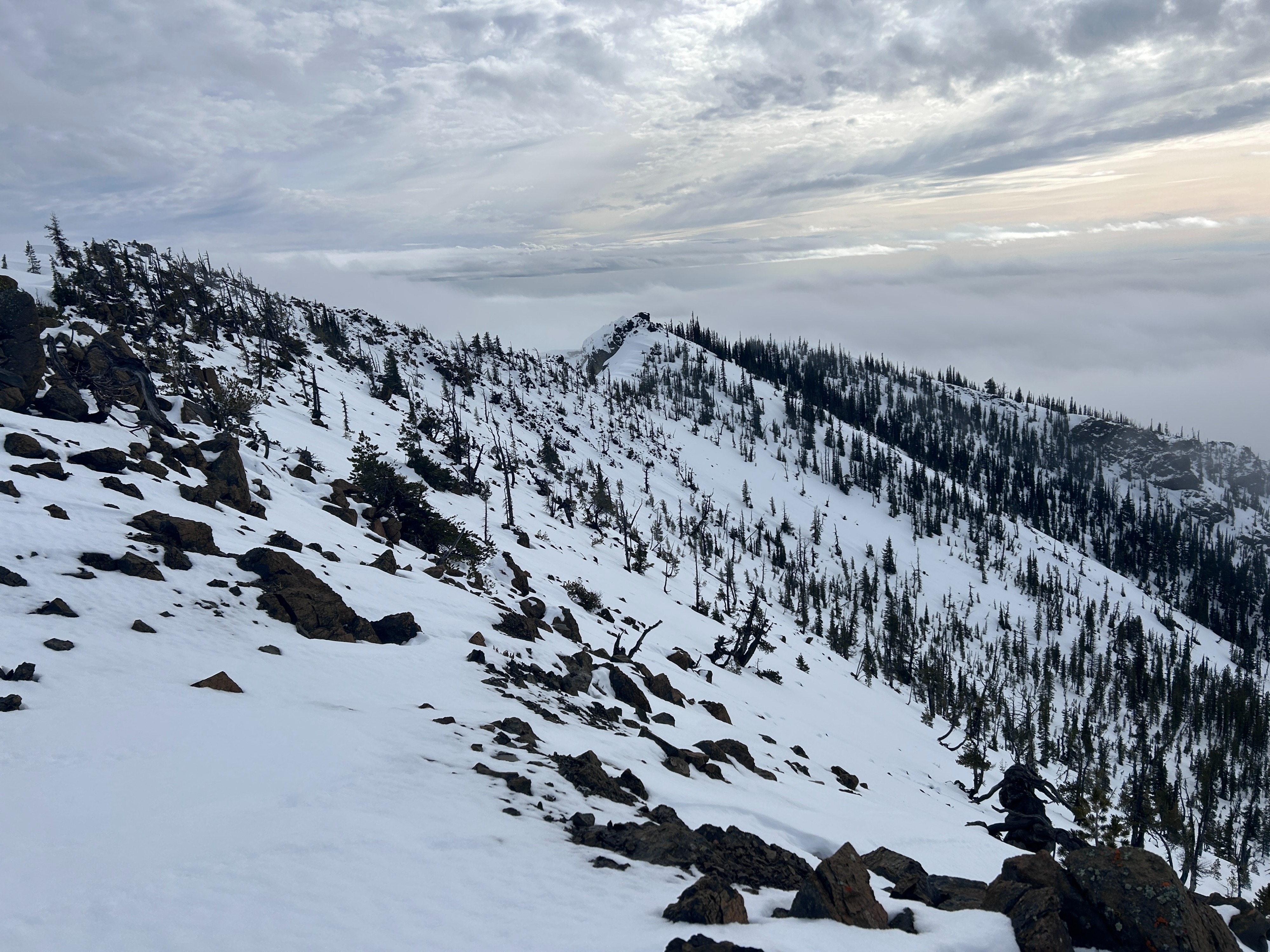
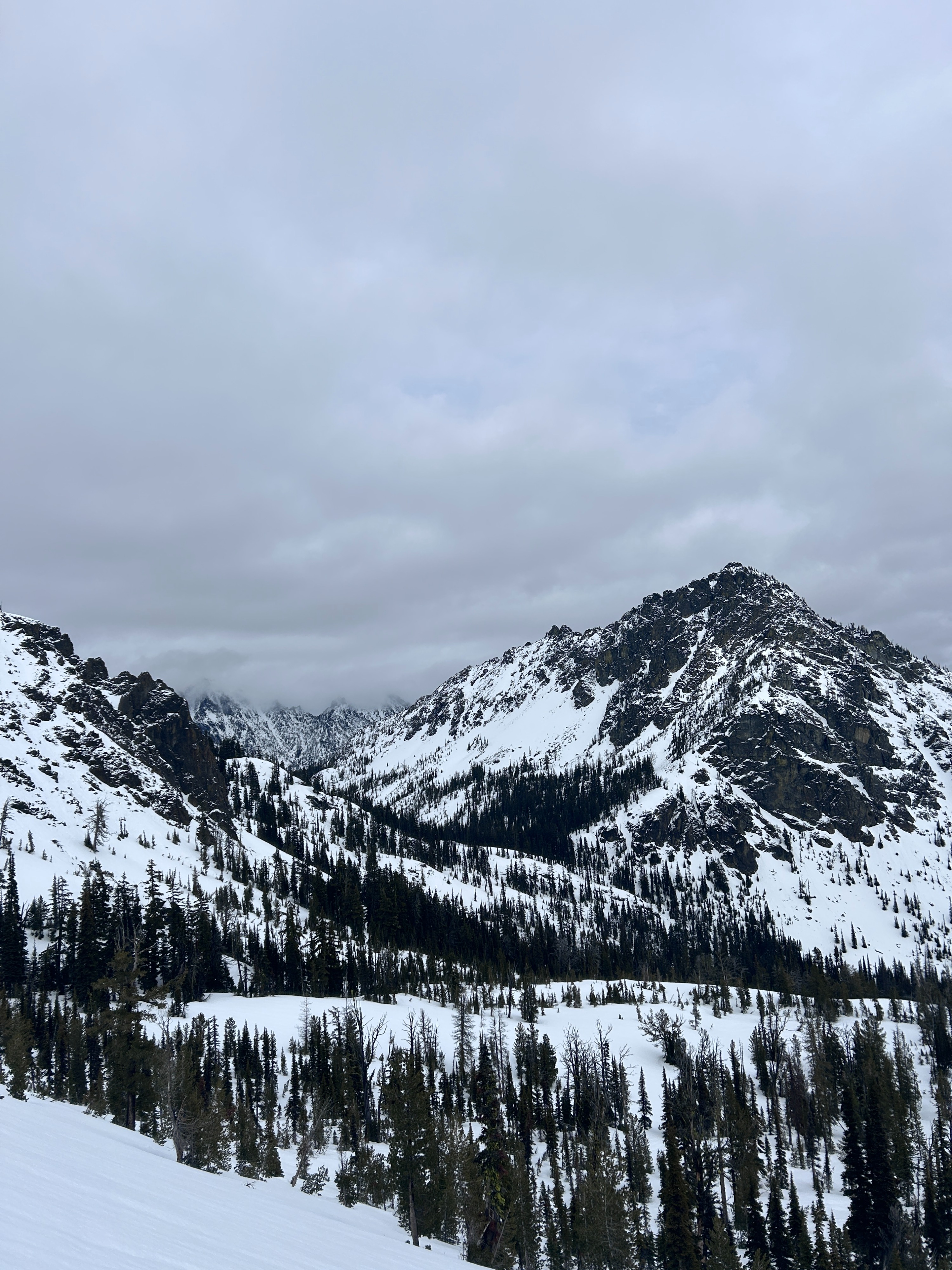
At the 29-Pines campground around 0830, the truck read 33F, and it was very lightly raining. By the time I got to the TH for Iron Peak, it was no longer raining and didn't for the rest of the day. I took temperatures at my snowpits; it was 41F at 5600' at 1045 and 43F at 6100' at 1300. The sky, by and large, was overcast. Low clouds/fog moved in and out throughout the day. The afternoon was characterized by more broken cloud coverage. The wind was calm and from the southwest, and ridgelines were a bit breezy.
Snowpack
Lower elevations:
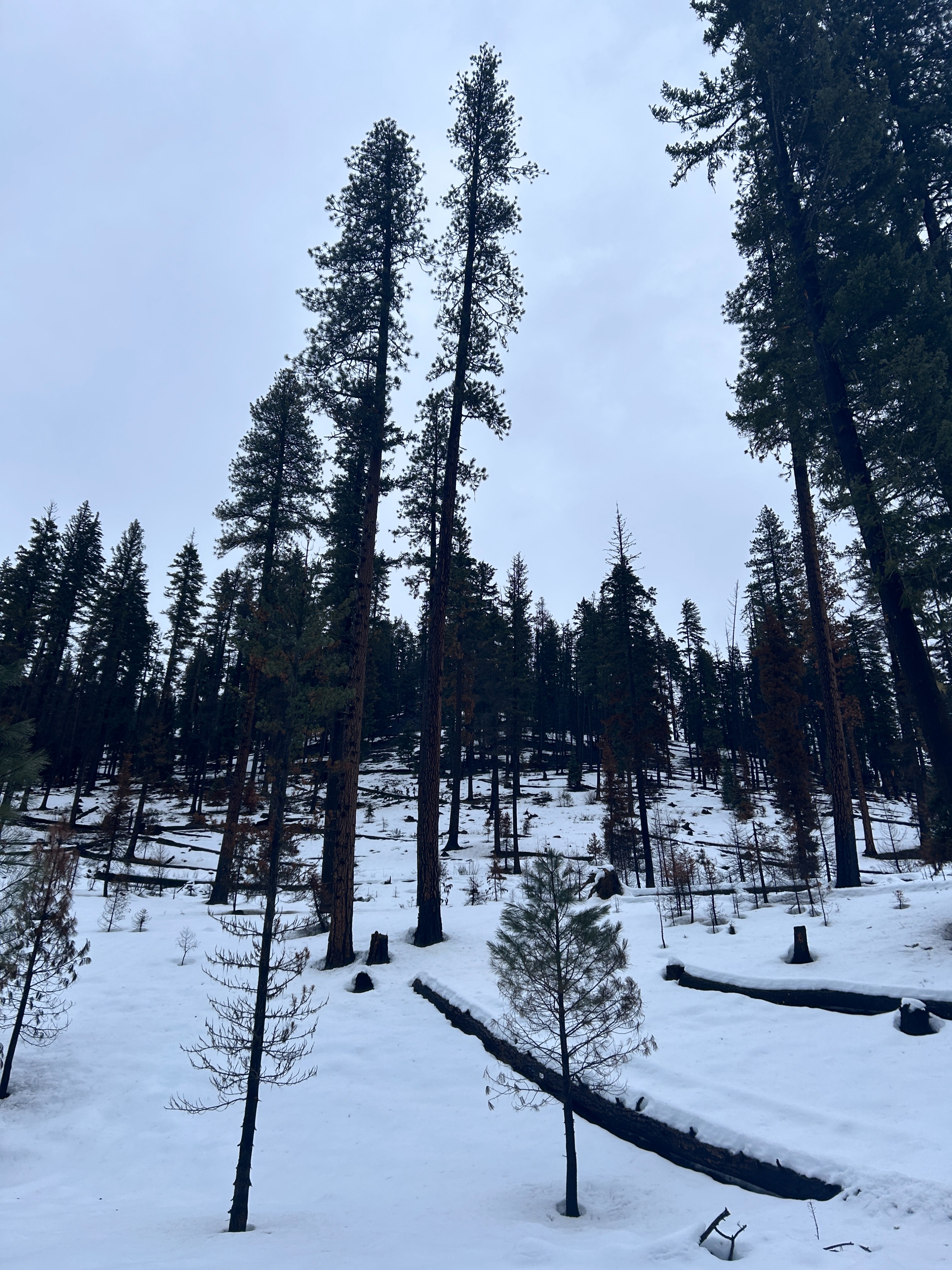
Average depths range from 40-60cm (16-24in), although many south facing slopes lack snow coverage. The 01/28 crust is not as easily discernible at these elevations. I measured approximately 9cm (4in) of recent snow.
Middle elevations:
As has been the case all season, snow depths grow significantly once you start getting above 5000 ft. That being said, the Teanaway has certainly lost a significant amount of snow coverage in the last few weeks. As I ascended, I noticed a very thin and friable surface crust starting around 5200 ft, however 15 minutes later, it was gone. That's how quickly the day warmed up!
I dug a pit on a west aspect at 5657 ft. The depth of this pit was 117cm (46in). I found 17cm (7in) of recent snow, but the top 7cm (3in) had already turned into melt forms. This recent snow overlayed, well, the rest of the snowpack which was mostly melt freeze crust. I could find layers of faceted rounded grains within, but pinpointing exact layers within crust proved difficult. I performed compression tests and got a moderate break and a moderate sudden result within recent snow (CT11BRK down 12cm, CT13SC down 14cm). I performed an extended column test and got a moderate non-propagating result within recent snow (ECTN12 down 14cm).
I dug another pit on a northeast aspect at 6102 ft. The depth of this pit was 175cm (69in). I found 21cm (8in) of recent snow, and the top 14cm (5in) were melt forms, but the rest was well on the way too. This recent snow overlayed a more clearly defined 01/28 crust that was 4cm (2in) thick but weak due to wetting. A boot penetration test would hold for about 3 seconds, and then you would collapse through. Below this, I found mostly rounded grains, with a few crusts and ice lenses here and there. The snow was dry/moist down to 117cm (46in). I performed a compression test and got a moderate break within recent snow (CT11BRK down 15cm). I performed extended column tests and got moderate, non-propagating results within recent snow (ECTN11 down 9cm, ECTN12 down 15cm) then a hard, non-propagating result further down within old snow (ECTN23 down 30cm).
Overall takeaways:
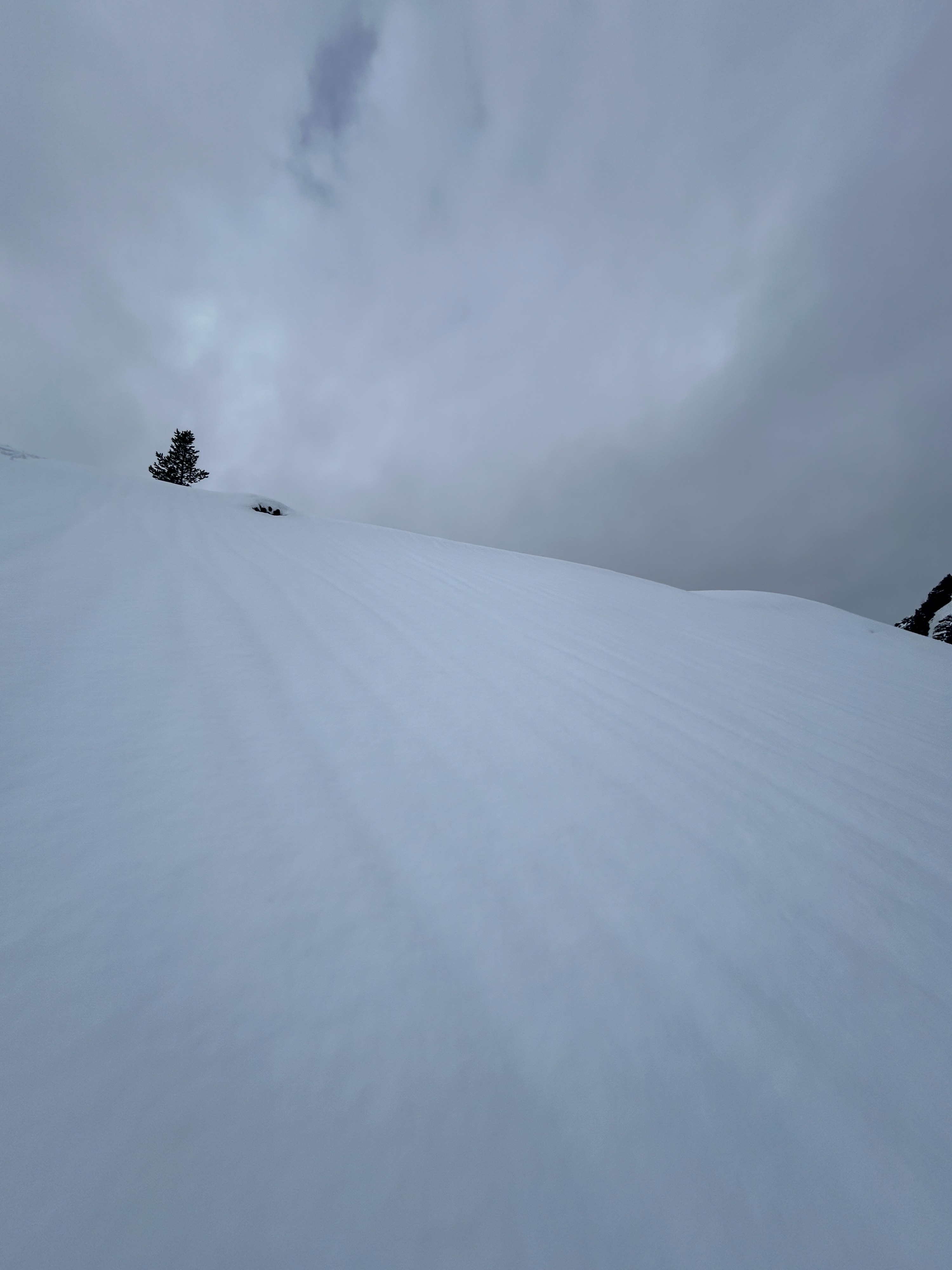
The upper portion of the snowpack at all elevations I traveled (3000-6400ft) was saturated and weak. It is unknown if there were dry surfaces at higher elevations, but it is likely conditions were similar at least to 7000 ft. The 01/28 is variable in thickness and supportability. It was also interesting to find faceted grains on a west aspect and not a northeast aspect.
Avalanche
- Size
- D1 R1
- Type
- WL
- Aspect
- NE
- Trigger
- AS
- Elevation
- 6300 ft
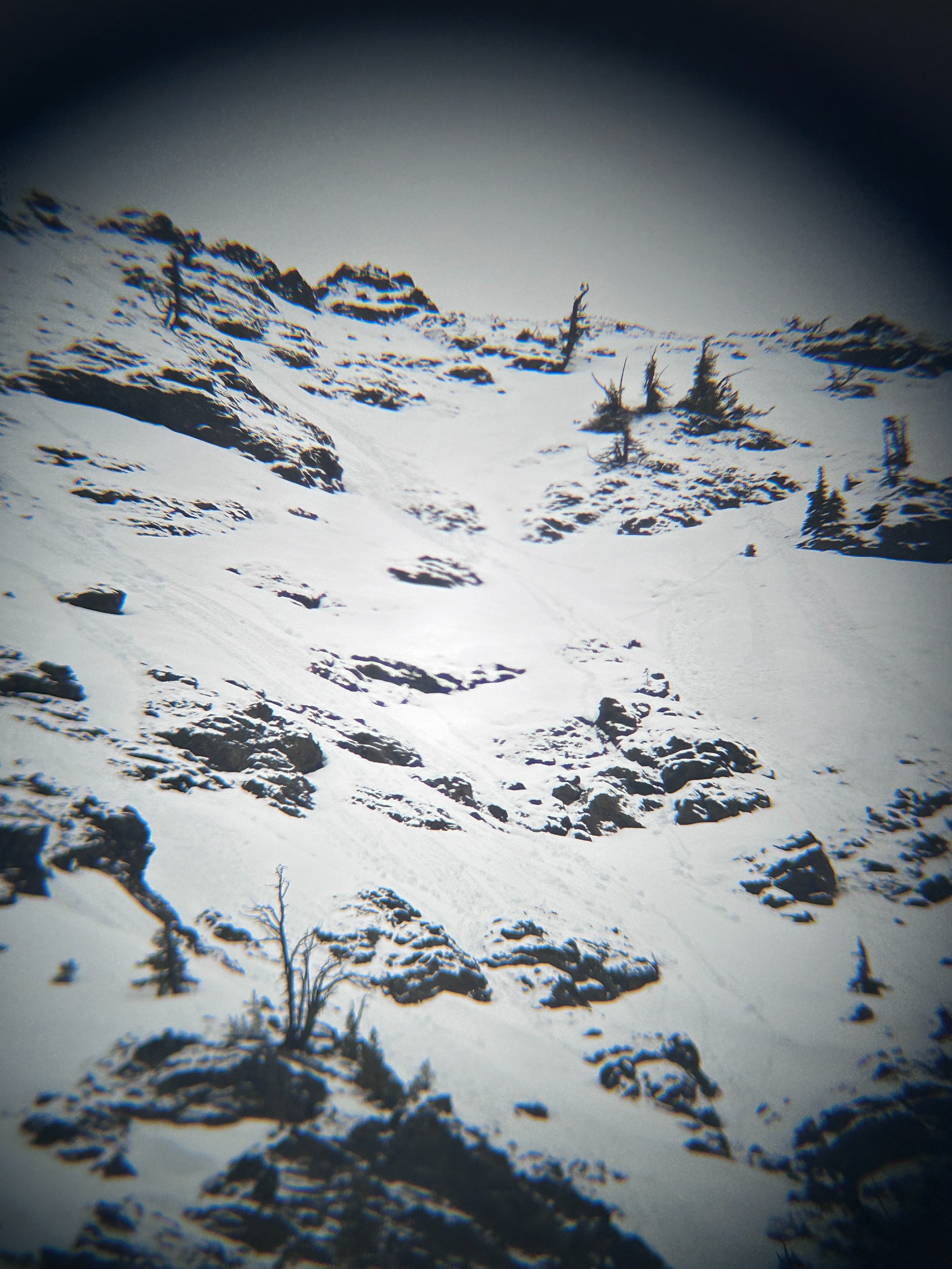
Multiple small, intentionally triggered wet loose avalanches along the northeast side of Iron Peak (6300-6400'). They never gouged down further than the 01/28 crust interface.