
Quick report
We covered most aspects and elevations today. Here are the notes:
Low Elevations: Coverage is relatively thin but there is enough snow to get around. There is still some weak snow in the middle of the snowpack but it is surrounded by very stout crusts and is not of concern right now. There were 2 to 4 inches of recent snow, but this now has a rain crust on top of it.
Middle Elevations: Coverage is good. There were 4 to 6 inches of recent snow. This has bonded well to the slick crusts underneath, but you can still feel the bottom. There was minimal wind effect today at this elevation. There is also a rain crust on the surface here. It may just be a zipper crust tomorrow, but it could have become more developed around sunset.
Upper Elevations: Recent snow has bonded well to surfaces below with no signs of loose snow moving on the surface. Winds were moderate at upper elevations and were transporting snow. Wind slabs 4 to 12 inches deep existed on leeward slopes and were sensitive in wind exposed areas. In many places the wind stripped snow down to old crusts. A rain or fog crust exists here as well and is thick in spots.
Stability in the mid snowpack in places highlighted by our persistent slab problem are gaining strength with likelihood of triggering one decreasing. However, poor structure still exists and that is something that cannot be overlooked.
Weather
- Cloud Cover
- obscured
- Wind Loading
- moderate
- Rain Elevation
- Above 9,000'
- Snow Avail For Transport
- small smounts
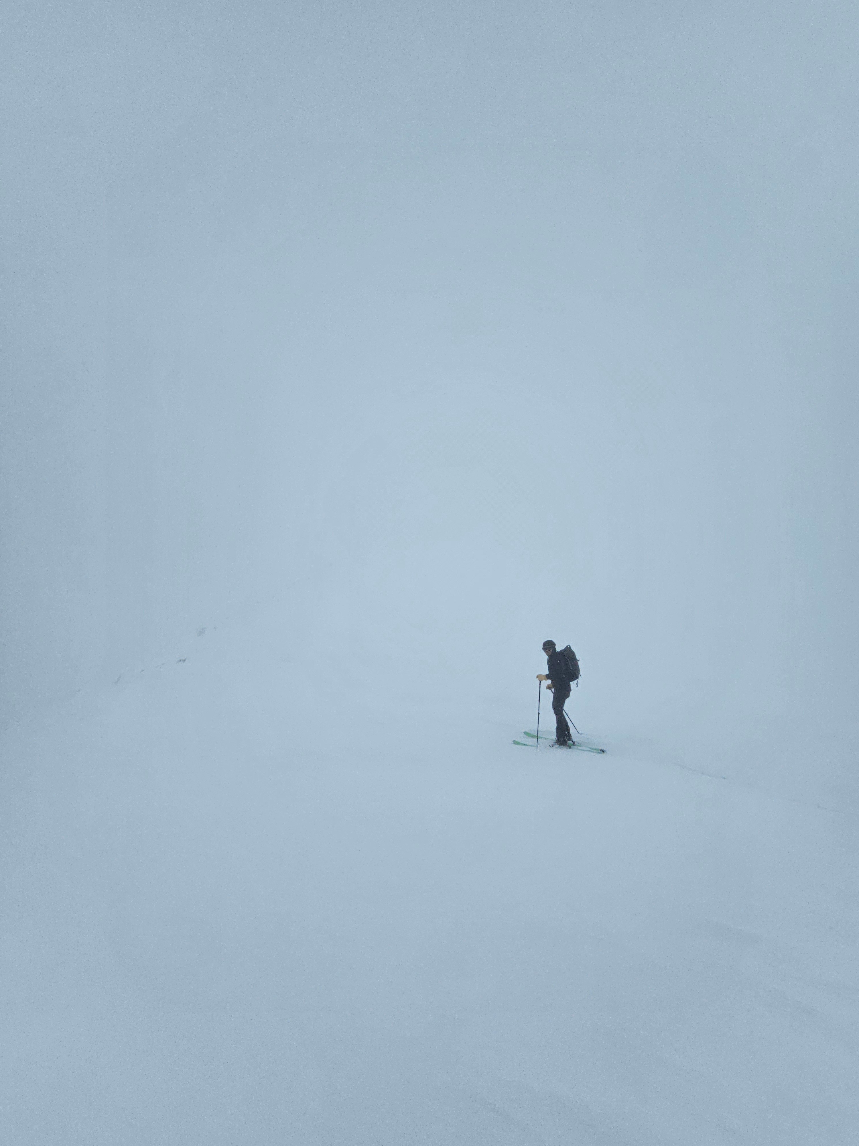
Overcast and obscured skies all day. Some periods of light snow in the morning, then a light misting rain in the afternoon. In the morning there where moderate west and northwest winds at upper elevations.
Snowpack
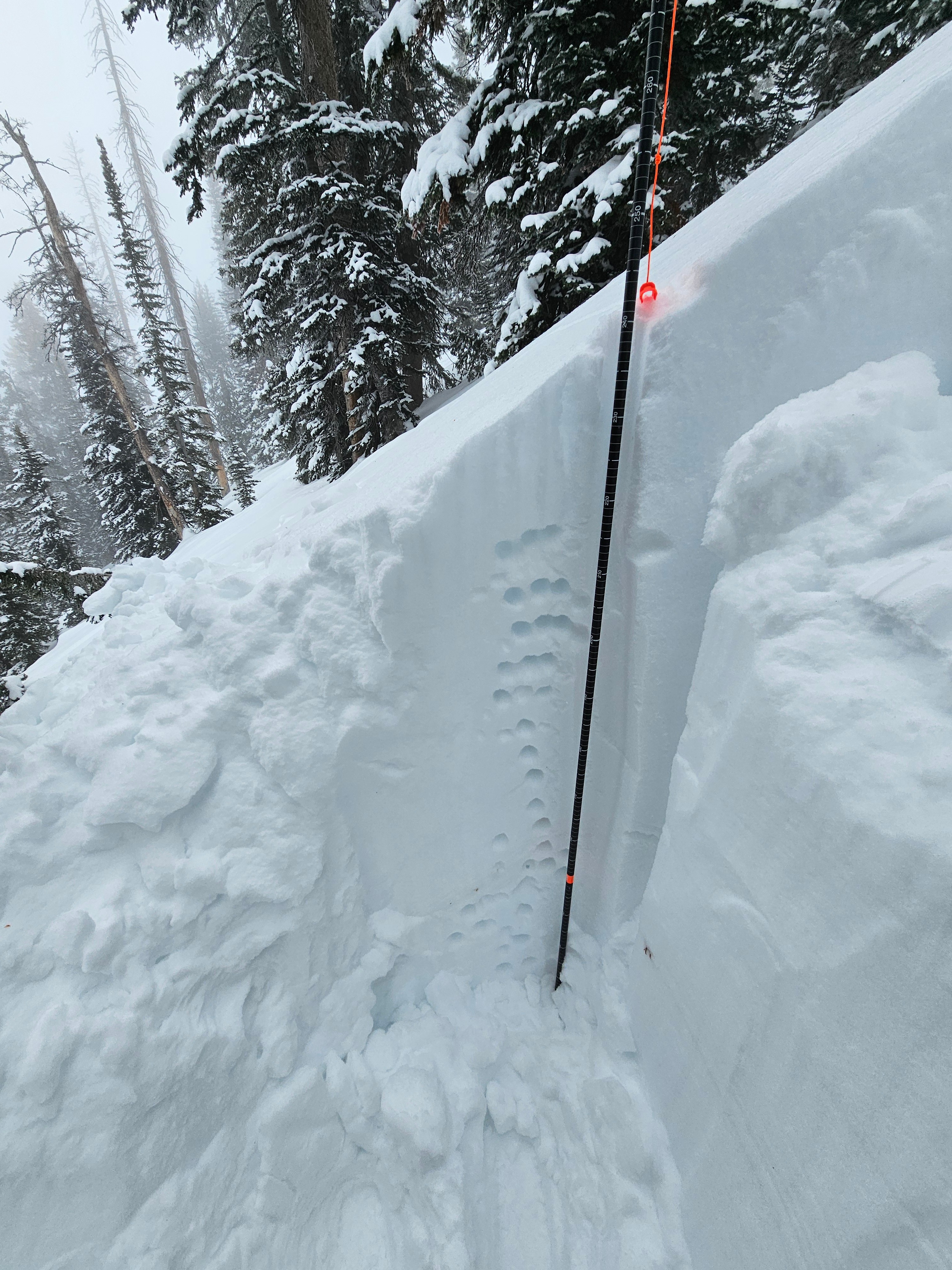
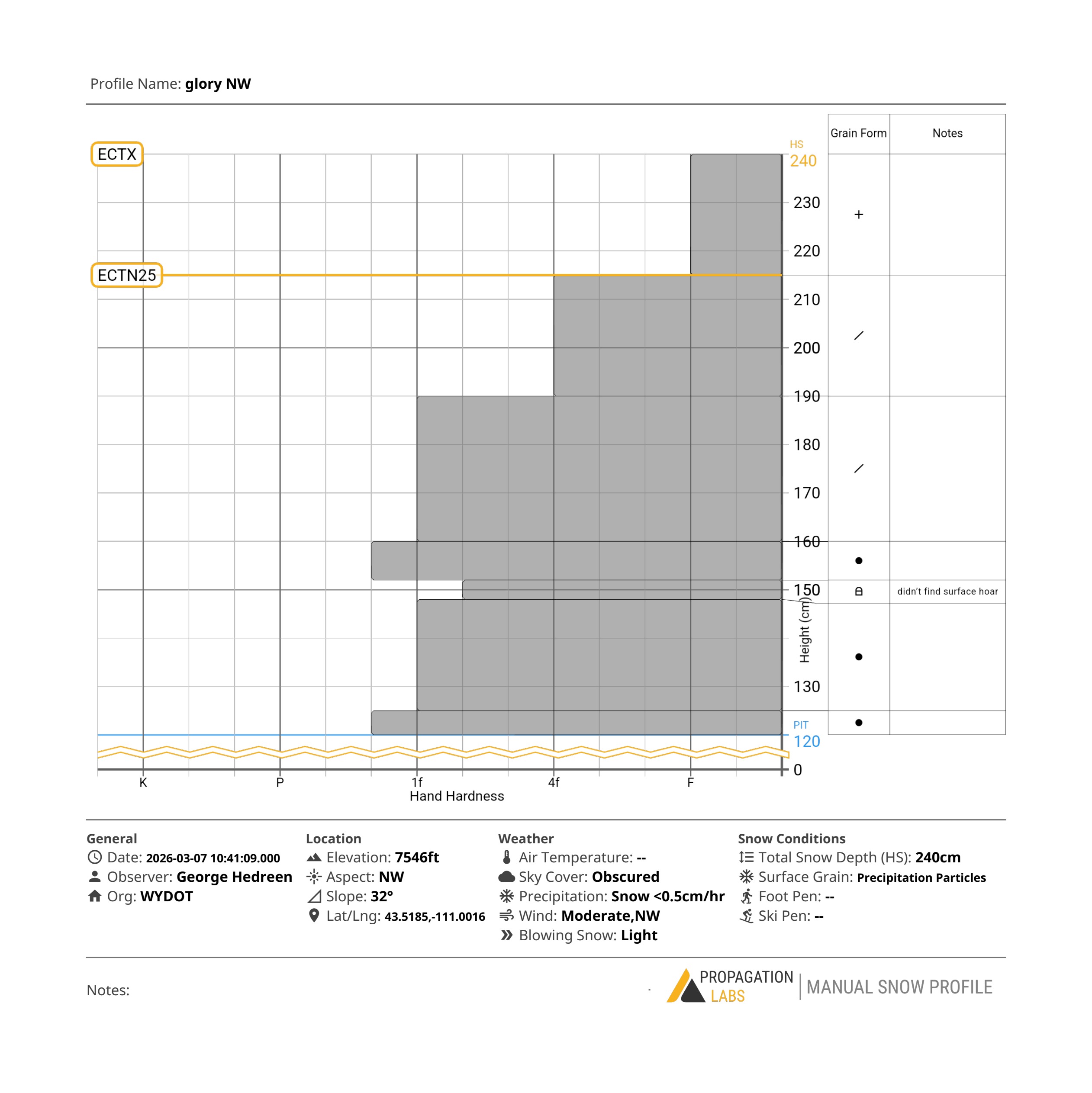
In a snowpit around 8,000' on a north aspect we found a height of snow of 240cm. We dug in an area sheltered from the wind and sun.
The January Drought Layer (JDL) was buried just over 3 feet (~90cm) down. In this location there was no buried surface hoar and the has gained a lot strength and was ~1F hard. No propagation in an ECT.
In this location ther snowpack was relatively strong with no major red flags. This goes to show the spotty distribution of weak snow that is concerning. In some locations the snow pack is mostly healed and strong, and in other areas close by, a weaker snowpack structure can exists.