
Quick report
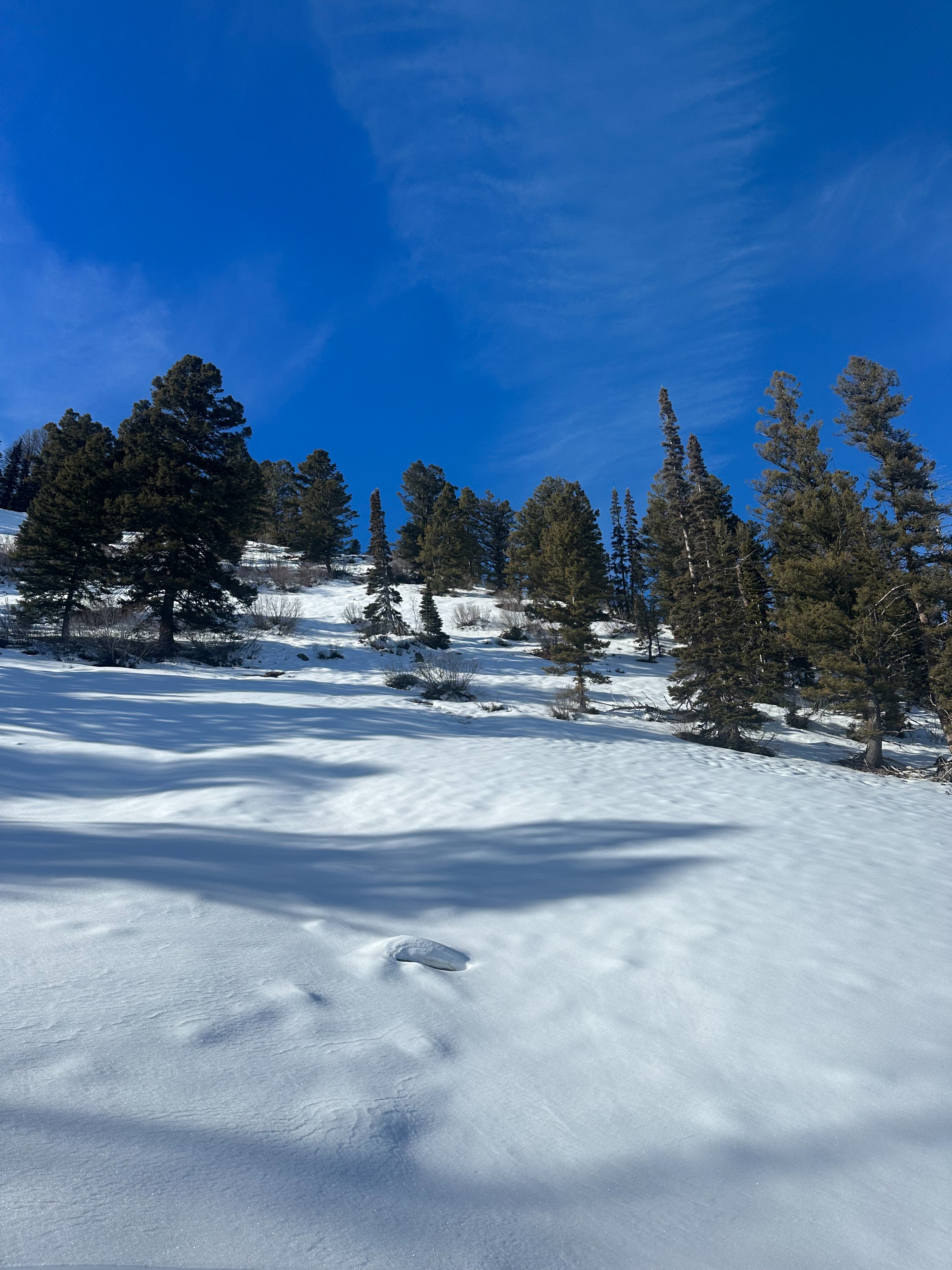
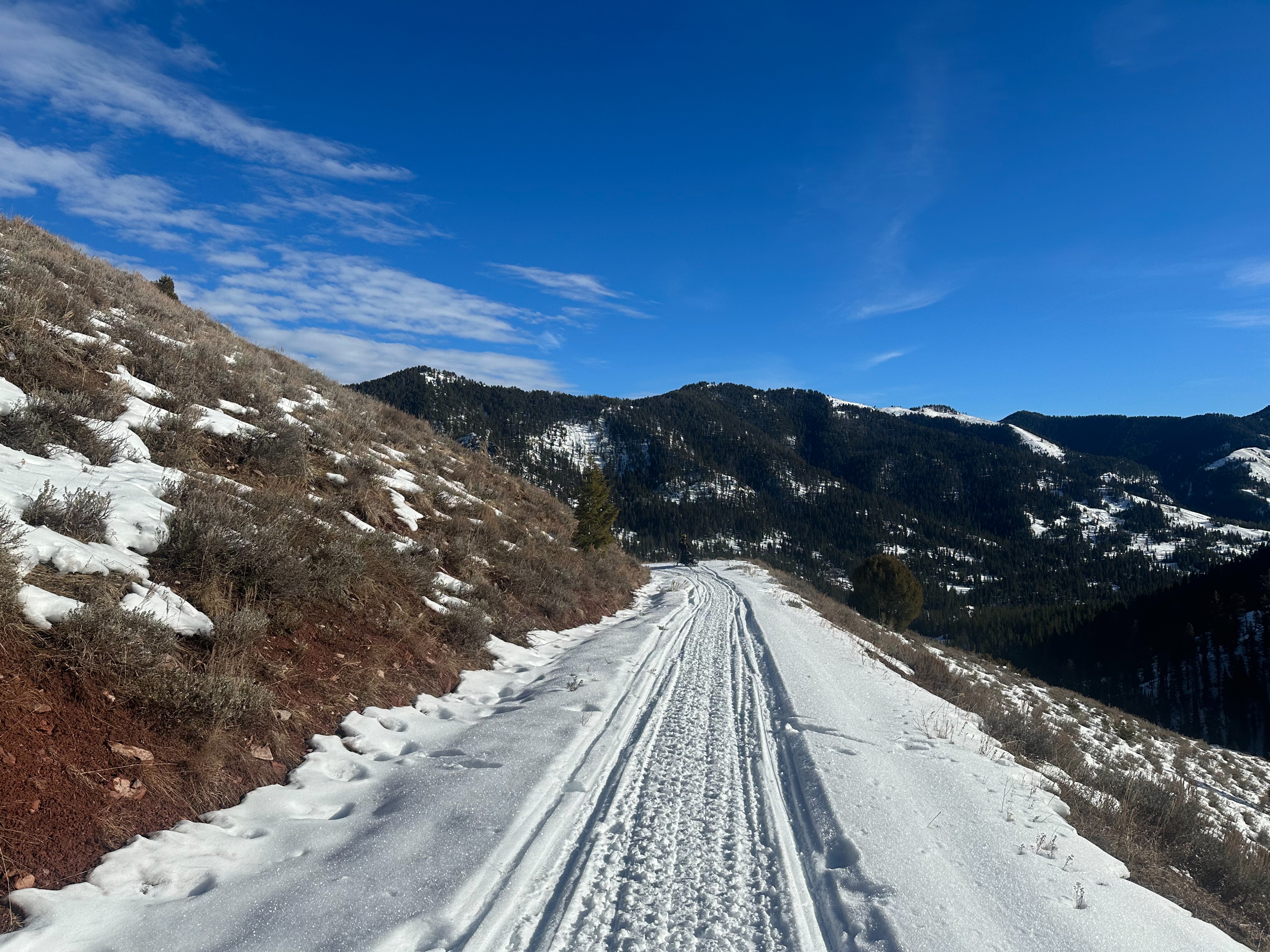
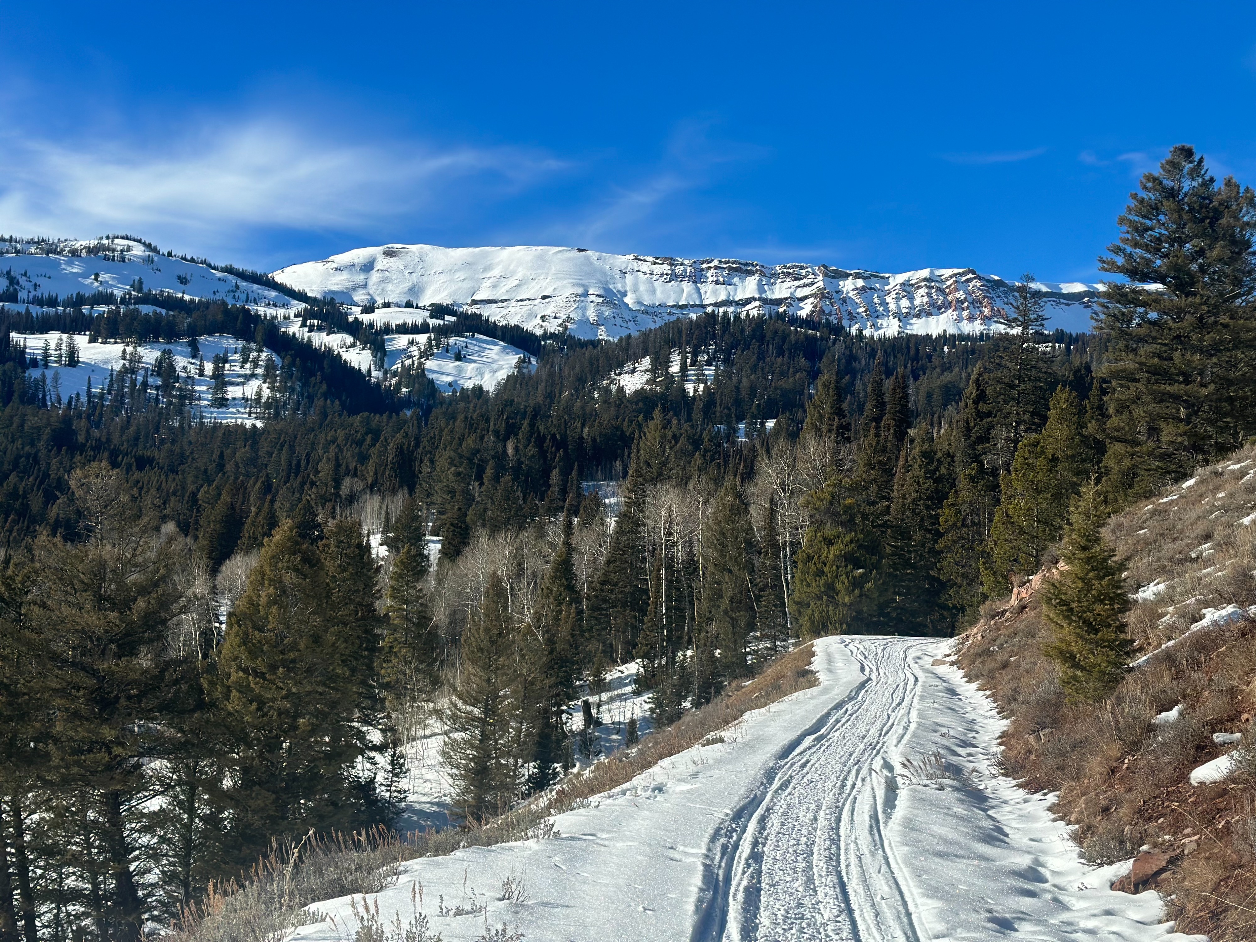
Our travel was limited to coverage. We were able to climb up to 8k where we found an average snowpack depth of 18 - 24 inches on easterly slopes. Despite exposure to direct sun, the snowpack appeared cold and dry throughout our travels at all elevations. Lower elevations on sun-exposed slopes were a combination of sage brush, dirt, and snow. Forest roads in the area are still covered and riding is still possible on lower angle/ protected aspects. Travel by foot is required to reach higher elevation bands around Gibbs Creek. No avalanches, cracking, or collapsing.
Weather
- Cloud Cover
- few
- Wind Loading
- none
- Recent Snowfall
- 0
- Snow Avail For Transport
- small smounts
Calm winds, mostly clear skies, inverted temperatures.
Snowpack
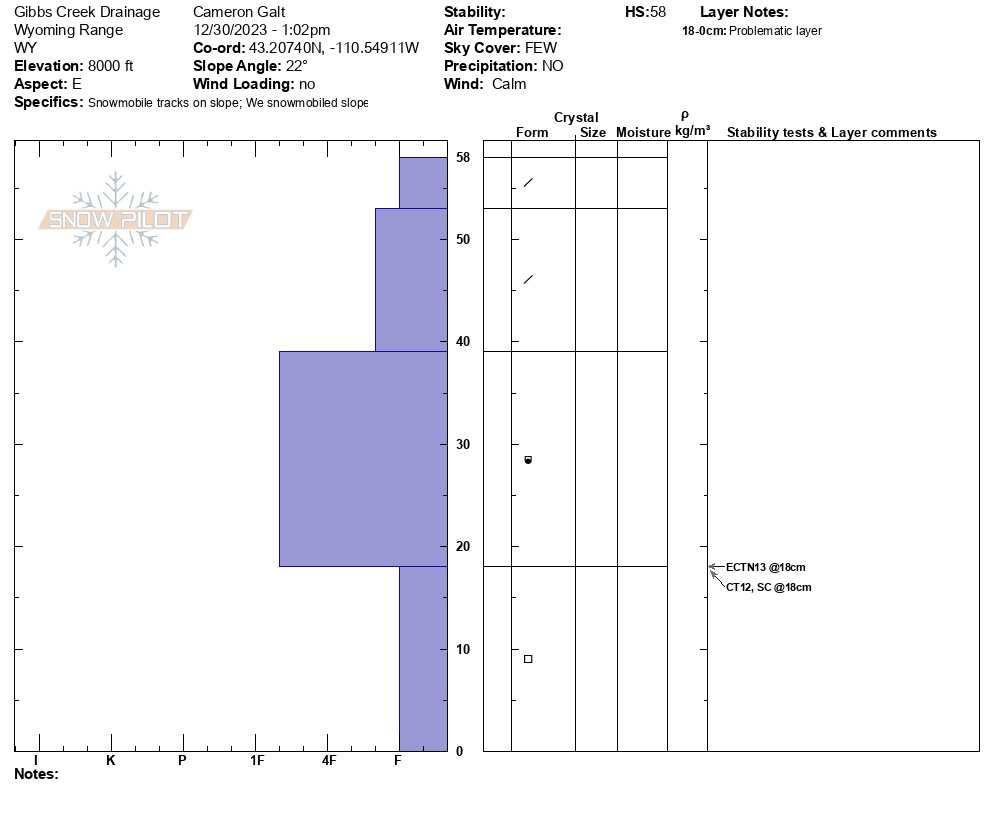
We dug a pit on an easterly slope at~8000' and found a 23-inch deep snowpack. Surface hoar was present in isolated pockets of protected terrain where the sun had not reached. The early December layers appeared to be weakening as they were prone to breaking apart. November's weak layer is 16 inches down with an ECTN13 observed here.